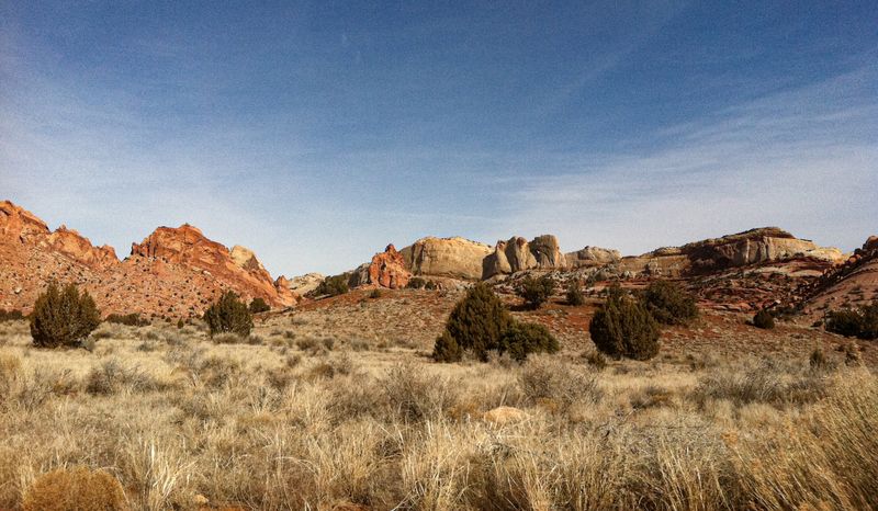
Burr Trail
Sixty-seven miles from Boulder to Bullfrog across the Waterpocket Fold — paved at both ends, graded dirt through the middle, and a set of switchbacks that drop off the reef like a staircase. Dry, a passenger car makes it. Wet, sections can become impassable even to 4WD.
- Utah Scenic Backway Type 2 · high-clearance
- Passenger car
- Possible
- Trailers
- Not advised
- Distance
- 67 mi
- Difficulty
- Moderate
- Route type
- Point to point
- Best season
- April, May, September, October
Highlights
- The Burr Trail switchbacks — a graded-dirt staircase up the Waterpocket Fold
- Long Canyon's Wingate narrows
- Crosses three federal units: Grand Staircase-Escalante, Capitol Reef, Glen Canyon
- Boulder trailheads and the Gulch on the west end
Vehicle requirements
- Passenger car OK in dry weather
- Can become impassable when wet — even for 4WD
- No RVs or trailers on the switchback section
- No fuel, water, or cell service between Boulder and Bullfrog — carry your own
The experience
- Scenery
- Exceptional
- Solitude
- Moderate
- Adventure
- High
- Story
- Exceptional
Geology
- Wingate Sandstone
- Navajo Sandstone
Landforms Waterpocket Fold, Burr Trail switchbacks, Long Canyon, Circle Cliffs
The road cuts the Waterpocket Fold — a hundred-mile buckle in the crust — then threads Long Canyon between sheer Wingate walls. The switchbacks climb a notch where the Navajo sandstone eroded clean away.
History
Name origin Named for John Atlantic Burr, a cattleman who moved stock through this country in the late 1800s.
A stock route between winter and summer range long before it was a scenic drive. The odd paved-dirt-paved surface is the scar of a decades-long fight over whether to pave it — the Capitol Reef section stayed dirt.