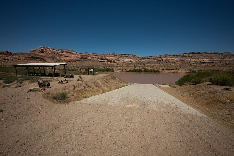
Access Point
Dewey Bridge Boat Ramp
Dewey Bridge Boat Ramp is a river access point on the Colorado River, serving the Cisco to Dewey Bridge section. It sits on the left bank, reached by paved road. Elevation is about 4,111 feet.
- Elevation
- 4,111 ft
- River side
- Left
- Road surface
- Paved
- Coordinates
- 38.81133422208194°N 109.30813036767218°W
BLM day-use site at the former Dewey Bridge location on UT-128. The historic 1916 suspension bridge was destroyed by fire in 2008; piers remain. Serves as the standard take-out for Cisco-to-Dewey floats and the put-in for the scenic Dewey-to-Hittle-Bottom / Professor Valley stretch.
Facilities
- Boat ramp
- Parking
- Vault toilets
- Picnic area