Colorado River
The Colorado carves the deepest canyons of the Southwest — from Westwater's technical gorge to Cataract's flood-season violence to the 226-mile Grand Canyon traverse. · CO · UT · AZ · NV · CA
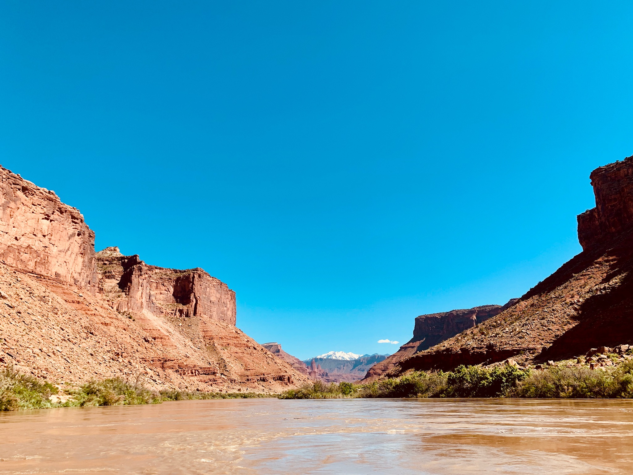
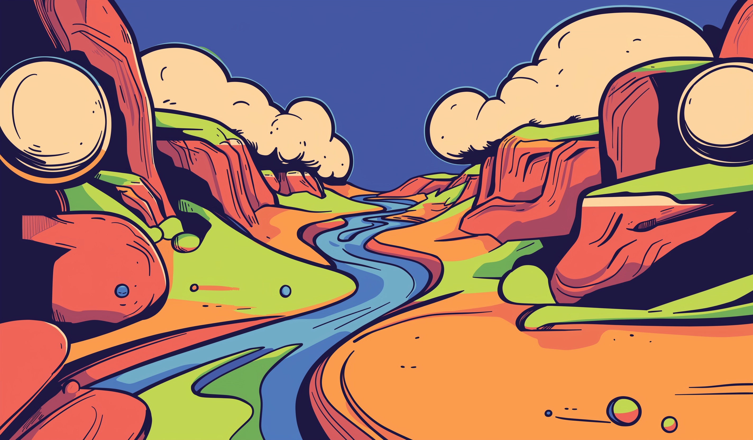
The Colorado River is the defining waterway of the American Southwest — 1,450 miles from the Rocky Mountain headwaters in Colorado to its historical terminus at the Gulf of California. The river carved the Grand Canyon, built the Canyonlands, and divided the Colorado Plateau into the architecture of high desert civilization. For boaters, it is a system of systems: the technical pool-drop of Westwater Canyon; the 47 miles of consequential Class IV–V whitewater through Cataract Canyon; the 226 miles of permit-controlled wilderness in the Grand Canyon; the quiet flatwater of Moab Daily and Meander Canyon between them. The Colorado is simultaneously one of the most over-allocated rivers in the world — every drop spoken for by compact law — and one of the most powerful wild experiences available to those who can access its permits. It flows through the ancient Precambrian basement of the Colorado Plateau, through the deepest canyon on the continent, and through the heart of the most contested water politics in the Western United States.
Signature Experiences
- Cataract Canyon in high spring runoff — the Big Drops at Class IV–V
- 226-mile Grand Canyon traverse through the deepest canyon in North America
- Westwater Canyon technical Class IV in ancient Precambrian walls
- Meander Canyon quiet flatwater from Potash to the Confluence
- Moab Daily — accessible day floating through redrock canyon country
14 sections, 1450 miles
Ruby–Horsethief Canyon
Ruby–Horsethief Canyon is the Colorado Plateau's most welcoming multi-day float — 25 miles of...
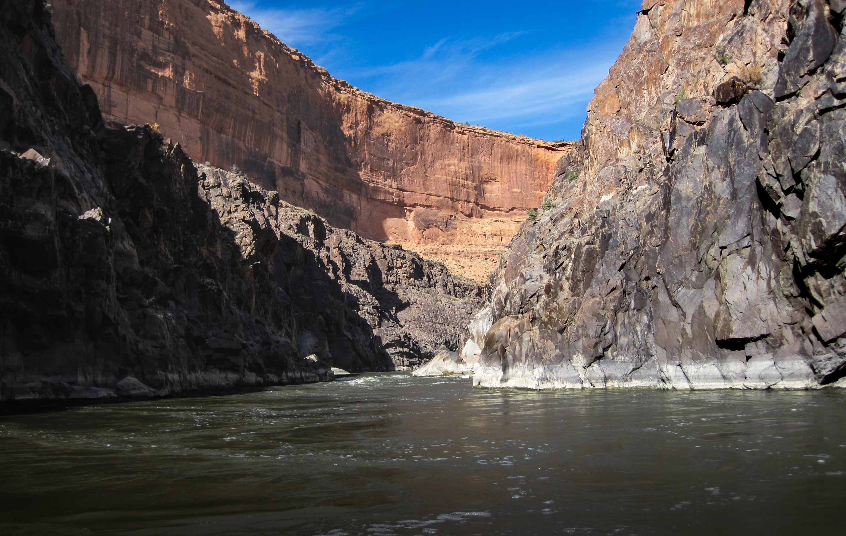
Westwater Canyon
Westwater compresses the entire Colorado River experience into a single day. The first six miles are...
Cisco to Dewey Bridge
The quiet flatwater extension of a Westwater trip — 14 miles between Cisco and Dewey Bridge through...
Dewey Bridge to Hittle Bottom
The most accessible mellow float above Moab — a redrock half-day on the Colorado with zero...
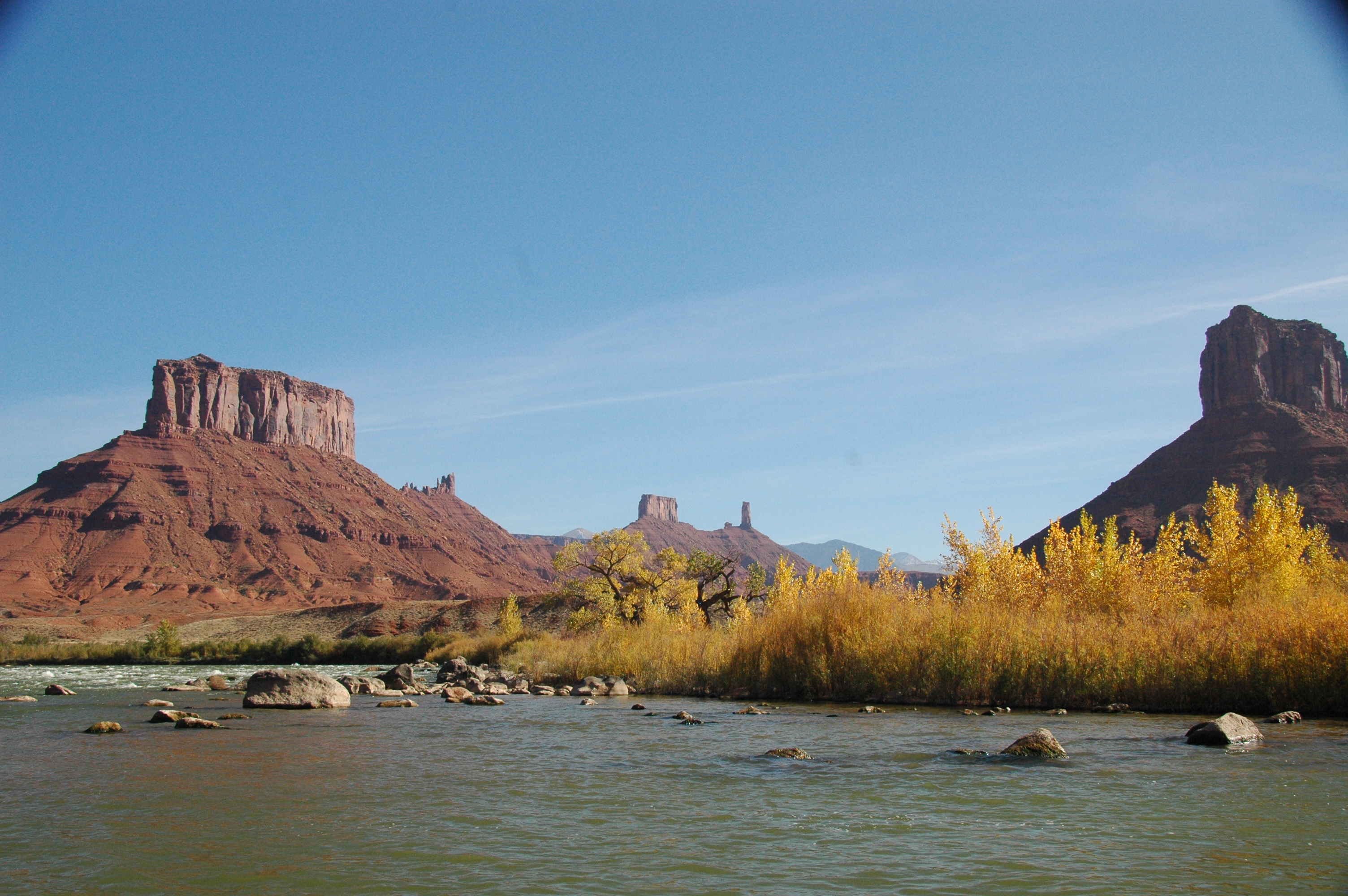
Moab Daily
The 13-mile Hittle Bottom to Take Out Beach float — the most-run day section on the Colorado...
Jackass Canyon
10-mile Class I float from Take Out Beach through Moab to the US-191 Moab Bridge, with seven BLM...
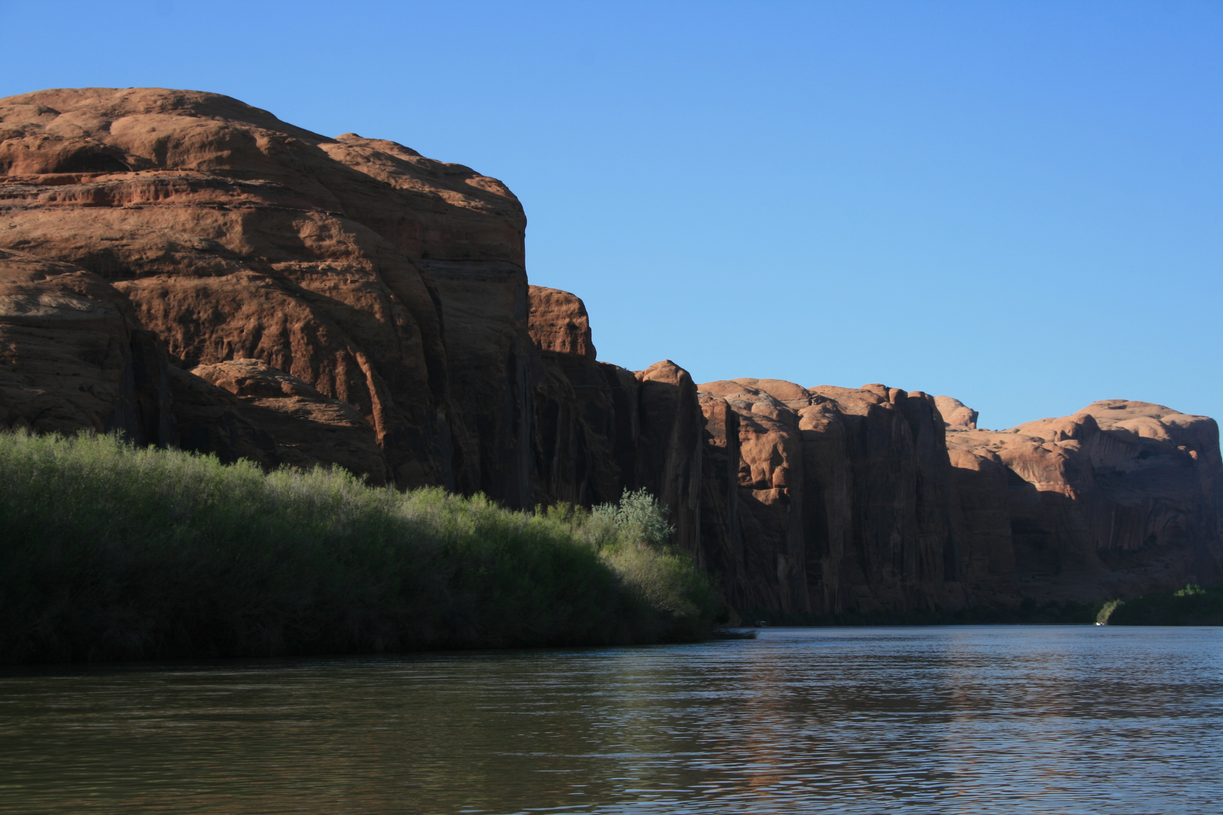
The Portal
17-mile Class I flatwater through The Portal — where the Colorado exits the Moab Valley through a...
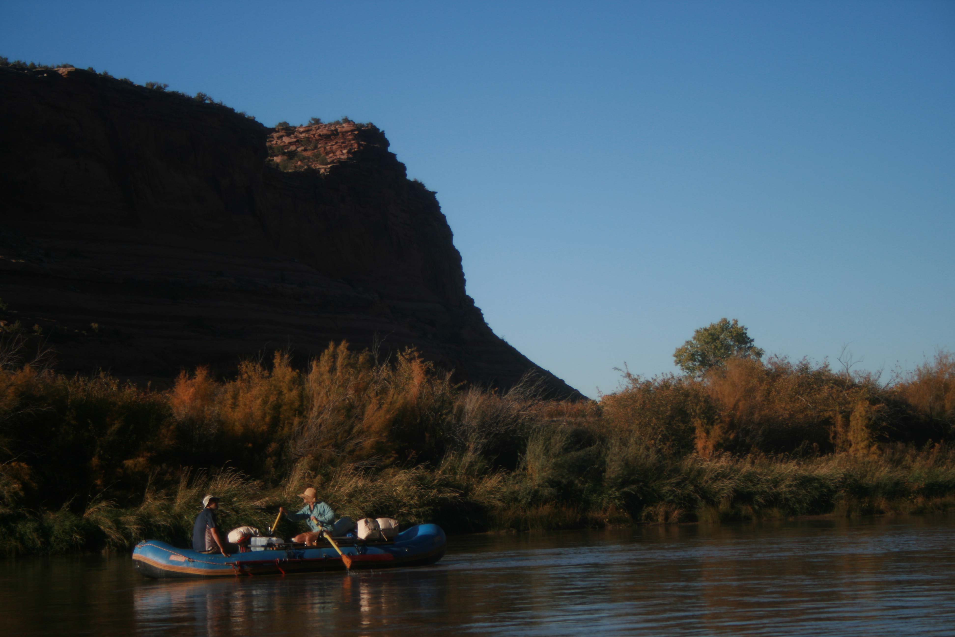
Meander Canyon
Meander Canyon is the quiet before the storm — 48 miles of total flatwater through the heart of...
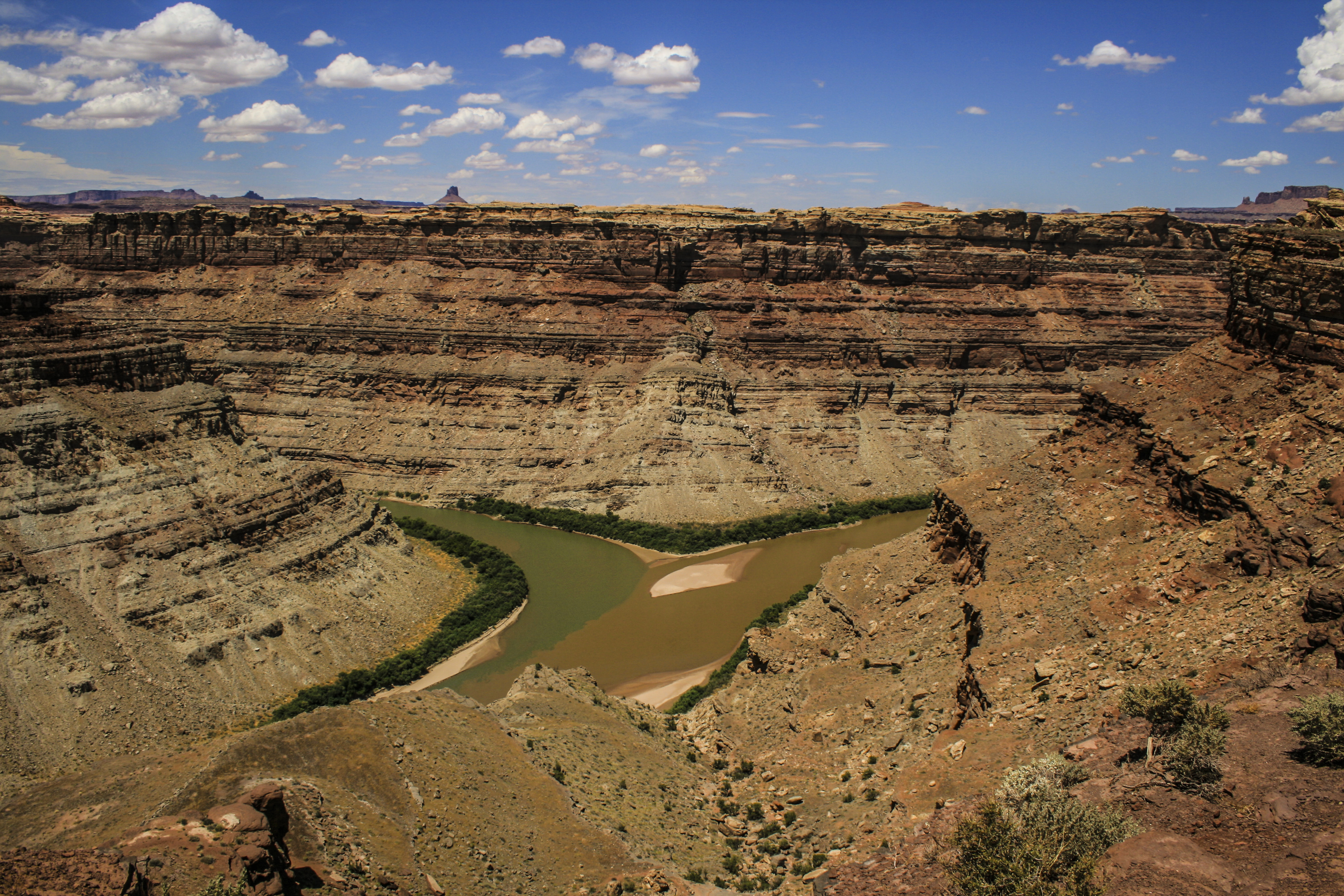
Cataract Canyon
Cataract is two trips joined by a confluence. The first is a long, wind-bitten flatwater approach —...
Narrow Canyon
Narrow Canyon is where Cataract Canyon exhales — tight walls, still water, and the eerie transition...

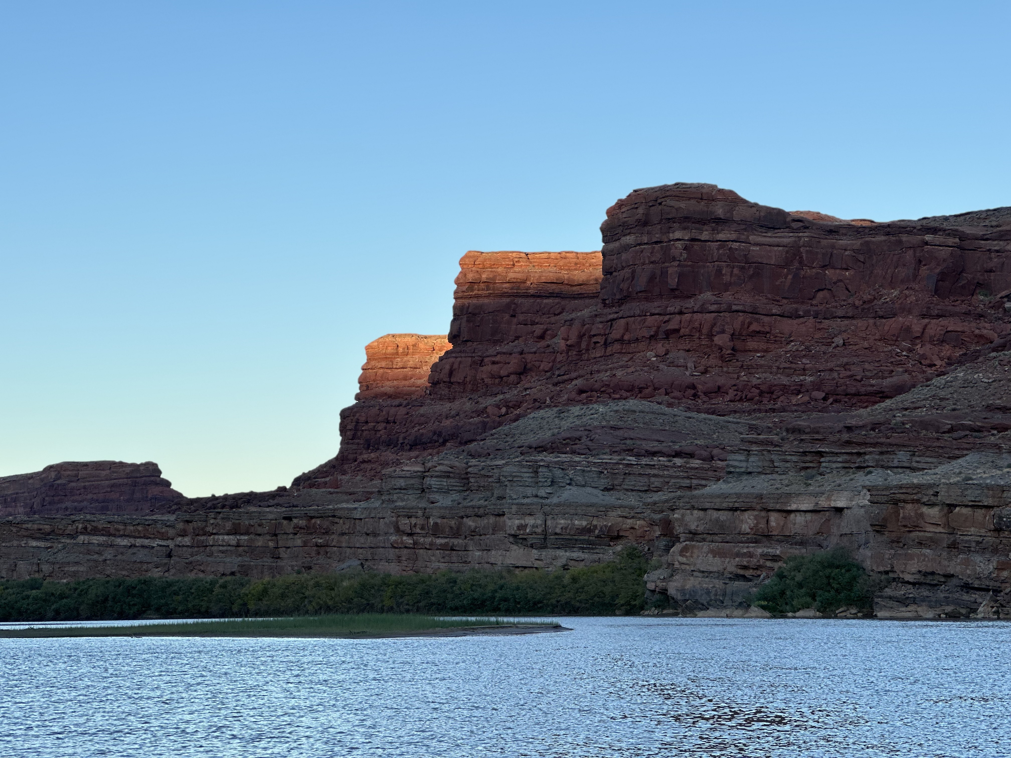
Glen Canyon
Glen Canyon is the drowned canyon — 186 miles of labyrinthine sandstone corridor flooded by Glen...
Lake Powell
Lake Powell is 186 miles of drowned canyon country — a reservoir as vast and controversial as the...
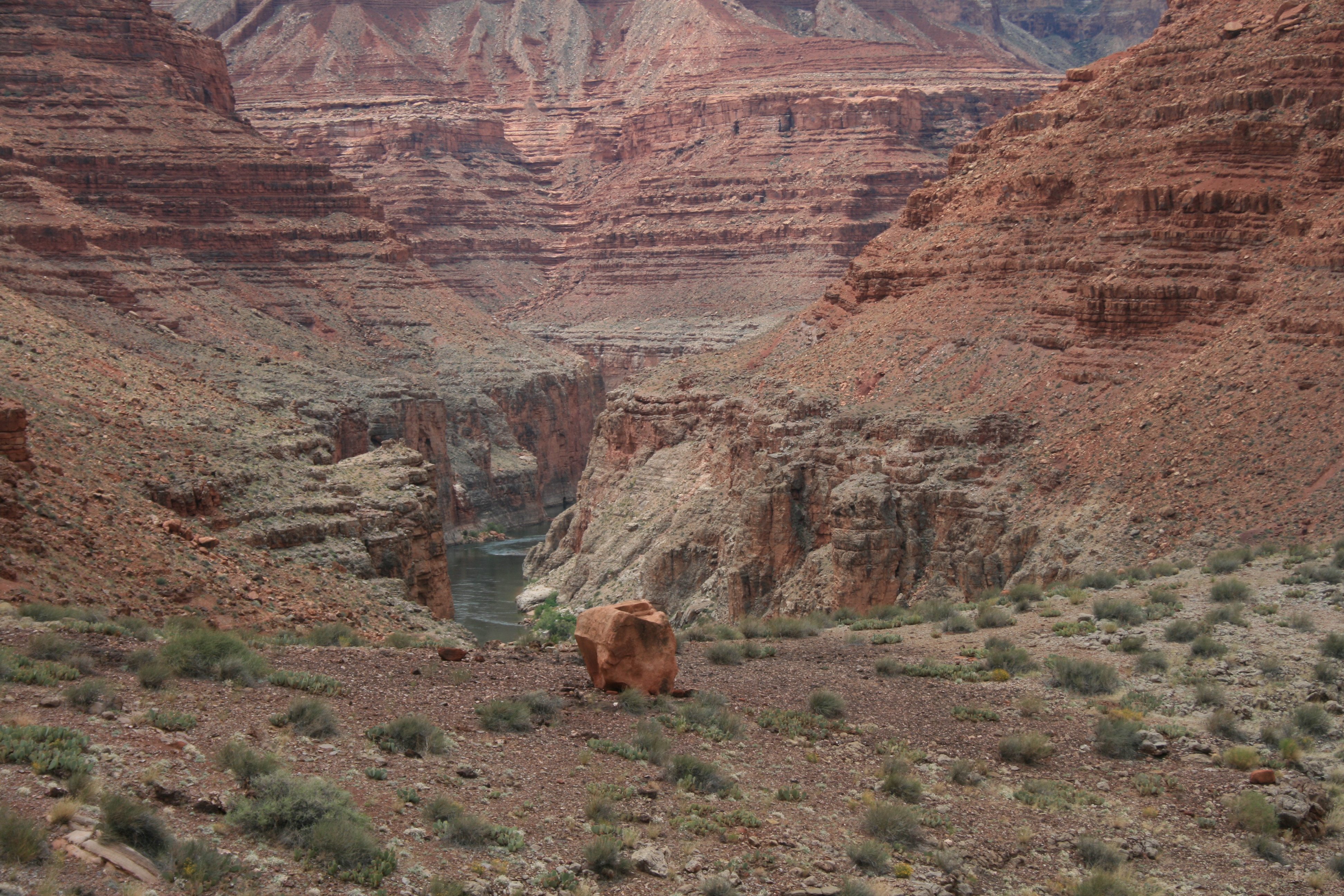
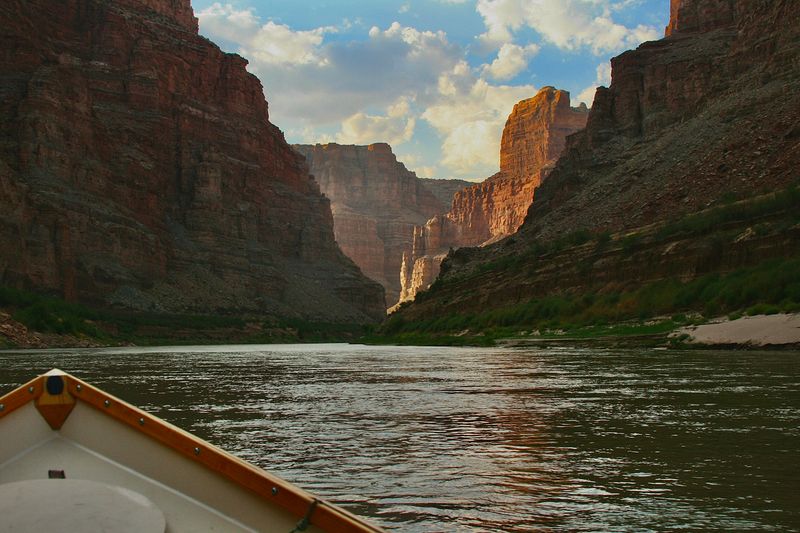
Grand Canyon
Everything about the Grand Canyon operates at a scale that makes other river trips feel like...
Diamond Creek to Pearce Ferry
heavily regulated — Glen Canyon Dam (Lake Powell), Hoover Dam (Lake Mead), Davis, Parker, and many upstream diversions control flow throughout
Colorado River at Potash, UT
USGS gauge measuring discharge and gage height on the Colorado River at Potash, UT — downstream of the Moab valley and upstream of the Confluence. Reads the Colorado’s contribution at the Potash put-in; sum it with the Green at Mineral Bottom for the combined flow that reaches Cataract Canyon.
Current flow — Colorado River at Potash, UT
Colorado River Near Cisco, UT
Primary upstream Colorado River gauge used in Westwater, Moab Daily, and Cataract Canyon runoff interpretation.
Current flow — Colorado River Near Cisco, UT
Colorado River at Lees Ferry, AZ
The essential Grand Canyon planning gauge. Located at the historical put-in for Grand Canyon river trips, this gauge reflects Glen Canyon Dam release data and is the primary operational reference for all Grand Canyon river section planning.
Current flow — Colorado River at Lees Ferry, AZ
Best conditions vary dramatically by section. Cataract Canyon peaks in May–June runoff for big water; Grand Canyon is prime March–May and September–October; Westwater runs year-round with irrigation season (March–September) providing consistent flows. Summer (July–August) is viable but hot — 100°F+ in canyon bottoms. Spring runoff from Rocky Mountain snowmelt drives Cataract and upper sections. Fall offers ideal temperatures and lower crowds throughout.
The Colorado River is the most geologically exposed river on Earth for a major drainage. It carved through sedimentary strata uplifted by the Laramide Orogeny (65–50 Ma) and the ongoing uplift of the Colorado Plateau. In the Grand Canyon, it exposes the Vishnu Schist and Zoroaster Granite — basement rocks dating to 1.7 billion years. The river carved roughly a mile (~5,000–6,000 feet) of canyon in approximately 5–6 million years. Through Cataract Canyon in Canyonlands, the river exposes Pennsylvanian and Permian strata — the same units that built the walls of Westwater Canyon farther upstream.
Age range: Paleoproterozoic (~1.75 Ga basement) through Permian (Kaibab capstones, Grand Canyon rim) and Jurassic (Navajo capstones, upper river)
The Colorado River corridor supports four federally listed endangered native fish — Colorado pikeminnow, razorback sucker, humpback chub, and bonytail chub — that evolved over millions of years in the warm, silt-laden, seasonally variable flows of the pre-dam river. Dams, diversions, and altered water temperatures have severely impacted native fish populations. Recovery programs operate throughout the system. Tamarisk, established throughout much of the riparian corridor since the mid-20th century, has displaced native cottonwood-willow communities across large reaches.
Notable Expeditions
- Powell Colorado River Expedition
- Powell Second Colorado River Expedition