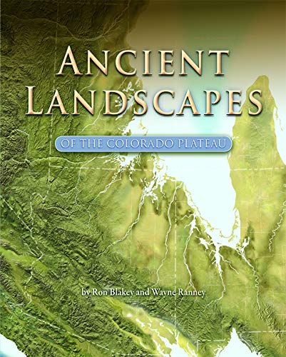
The atlas of vanished worlds — Blakey's paleogeographic maps redraw the Plateau's dune seas and lost coastlines age by age, with Ranney narrating the tour. The book that turns rock layers back into landscapes.
Here's the premise, and it's a good one. Ron Blakey spent decades doing something almost nobody else does: making maps of places that no longer exist. Not maps of the Colorado Plateau as it is — maps of what stood in its place a hundred million years ago, two hundred, five hundred. Coastlines that ran through what's now Hanksville. A dune sea the size of the Sahara parked on top of the future site of Moab. Rivers draining mountain ranges that have been gone so long the next mountain ranges built from their rubble are also gone. He paints them like satellite photos, as if someone had been up there with a camera in the Permian, and the effect the first time you flip through is a little disorienting in the best way.
Ranney is the narrator half of the team, and he does the thing he does in all his books — walks you through the science at a pace a smart non-geologist can hold onto, without rounding anything off so far it stops being true. The structure is simple: age by age, map by map, the Plateau assembles itself in front of you. The Moenkopi tidal flats. The Chinle river system with its logjams that became Petrified Forest. The great Navajo erg. The seaway that buried everything in gray Mancos mud. Each of the layer names you've learned to rattle off gets its world back — not a stripe in a cliff, but a place with weather and a horizon.
This is the second volume of what I think of as the two-book undergraduate course in canyon country rock. Baars teaches you the column — what each layer is, where it sits, how to name it from the boat. This one tells you what each layer was. They work in that order. Learn to spot the Wingate first. Then open this book and stand in the dune field it used to be. After that, a canyon wall on a long flatwater afternoon stops being scenery and starts being a stack of former worlds, and you can read your way down through them at whatever pace the current gives you.
Fair warning on the format: it's a large-format, image-heavy book, and it is not going in the ammo can. This is a home-shelf volume — the one you spread out on the table in the weeks before a trip, or the one you come back to afterward with sand still in your duffel, trying to put names to what you saw. Some of the reconstructions have been refined since 2008, because that's how the science works, but the big picture — which worlds, in which order, leaving which rocks — holds up fine for anyone who isn't defending a dissertation.
Read it after Baars, in winter, when the permits aren't out yet. By the time you're back on the water, every wall in Cataract is a flipbook.