Access Point
Potash Boat Ramp
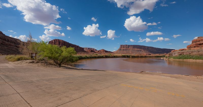
Potash Boat Ramp is a river access point on the Colorado River, serving the Meander Canyon section. It sits on the right bank, reached by paved road. Elevation is about 4,016 feet.
- Elevation
- 4,016 ft
- River side
- Right
- Road surface
- Paved
- Coordinates
- 38.505669020378626°N 109.65918078734384°W
The Meander Canyon put-in at mile 47.3 (also called Jackson Bottom Boat Ramp), and the most common launch for standard Cataract trips — which run Meander Canyon down to the Confluence and on into Cataract. Good for Colorado-side approach mileage. Ramp and staging are more developed than backcountry alternative launches, but trip leaders should still verify seasonal conditions, parking rules, and current launch procedures.
Facilities
- Boat ramp
- Staging area
- Parking