28,000–30,000 cfs at the 8pm inflow reading at Hite. Daily means on the two-gauge sum (Colorado near Cisco + Green at Green River UT) climbed from 23,960 at launch to 28,100 on Day 4.
Dry and hot the first three days (highs 90–93°F at Moab), cooler and breezy on the reservoir days (75–79°F). Zero precipitation.
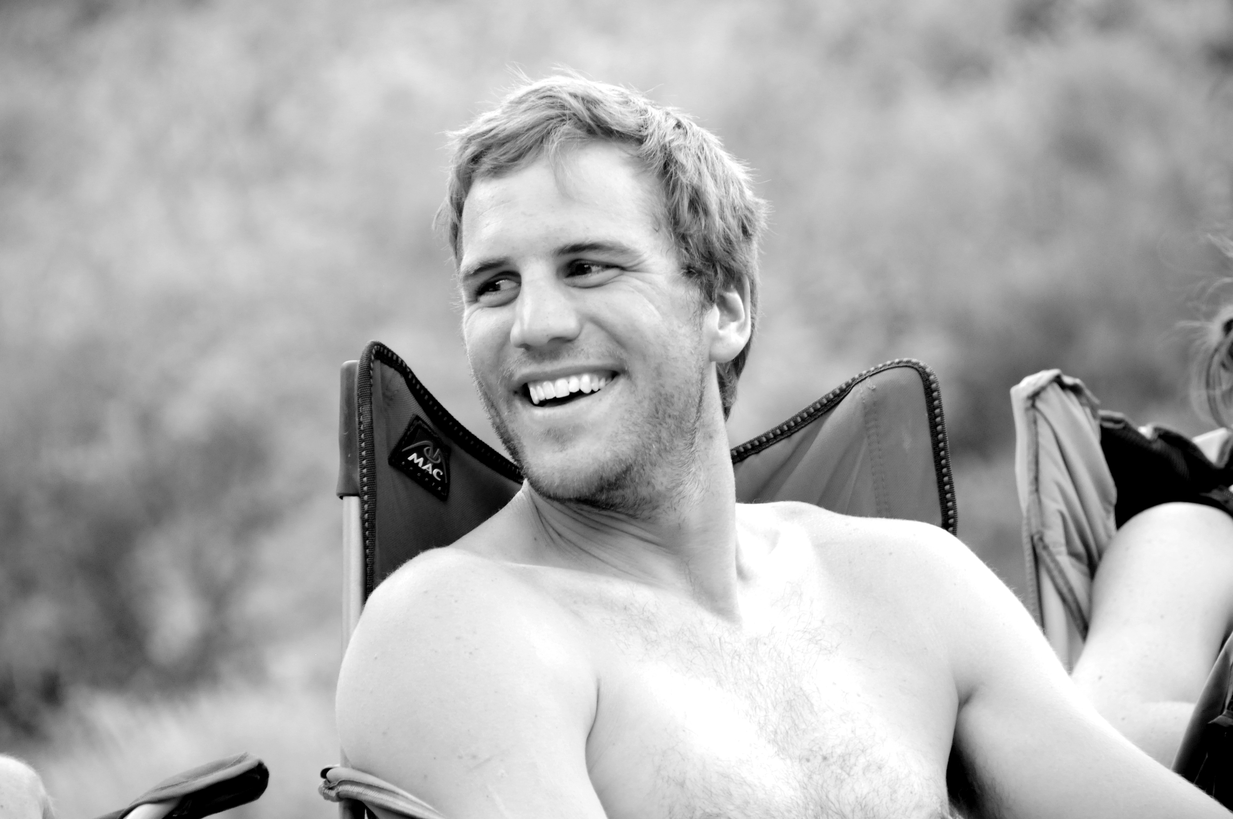
Cutty
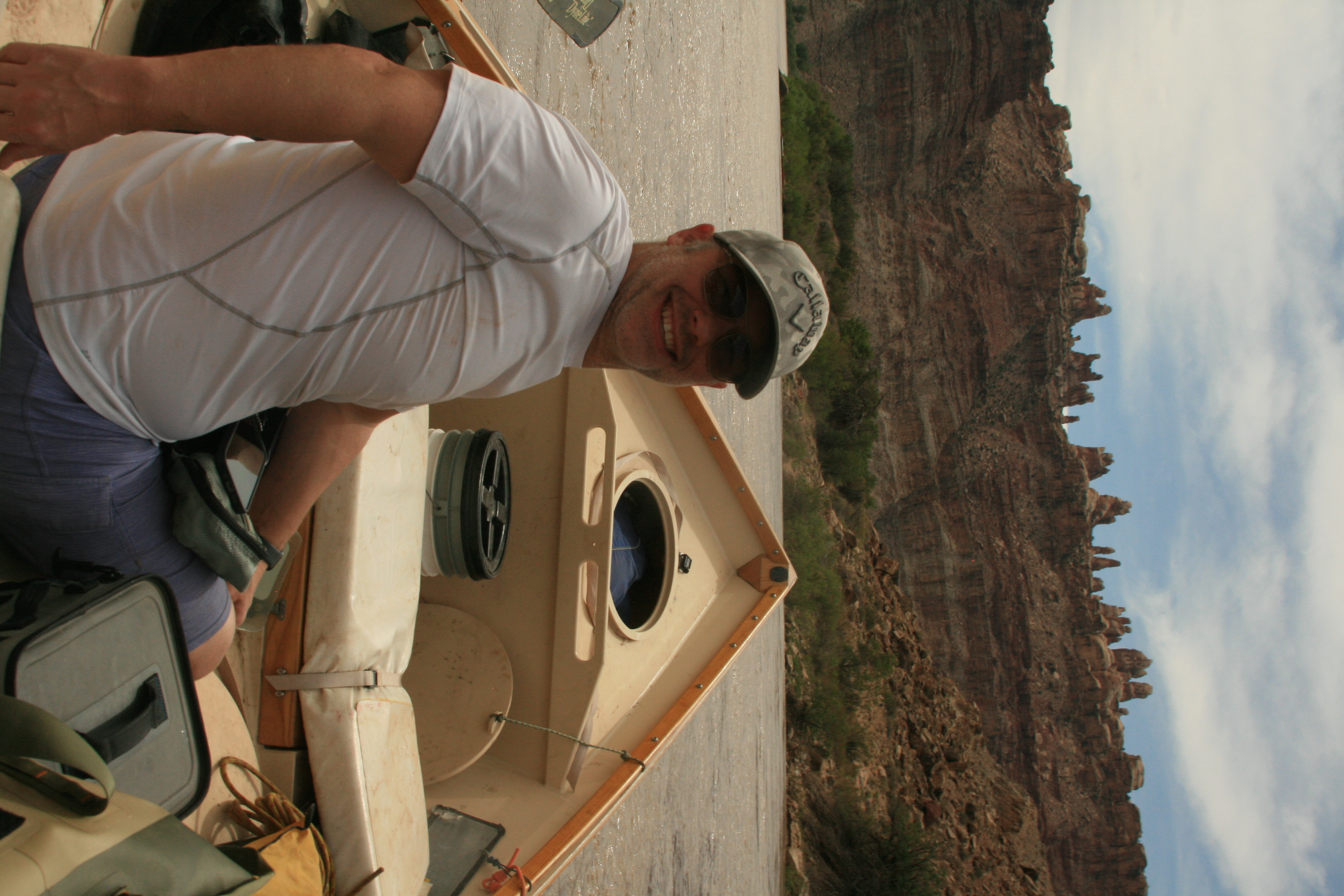
Josh
Potash to Cove Camp — launching into the dark
23,960 cfs daily mean, water 61°F, air high 93°F at Moab.
Put on at Potash at 10 PM. This isn't standard, but on a high-water Cataract trip you are budgeting time against one variable: getting to the Big Drops rested and in daylight. Motoring 40 miles of flatwater in the cool hours gets you to Cove Camp around 4 AM and puts Day 3 — the whitewater day — in the right position on the clock. Cove Camp sits in a shadow line that holds through mid-morning. That's the feature. On a post-midnight arrival, it is also the only feature that matters. Flows: 23,960 cfs daily mean. Water 61°F.
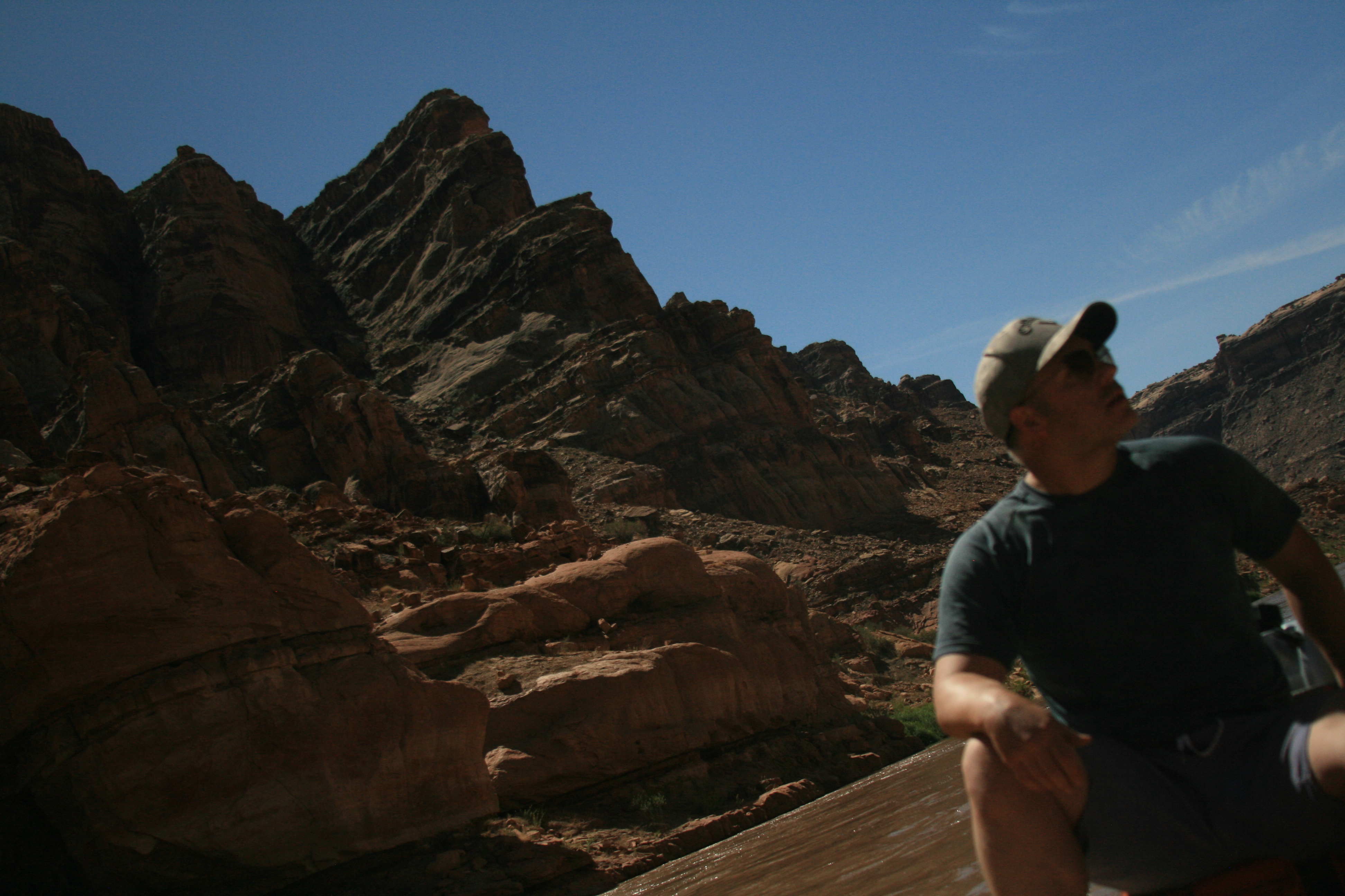
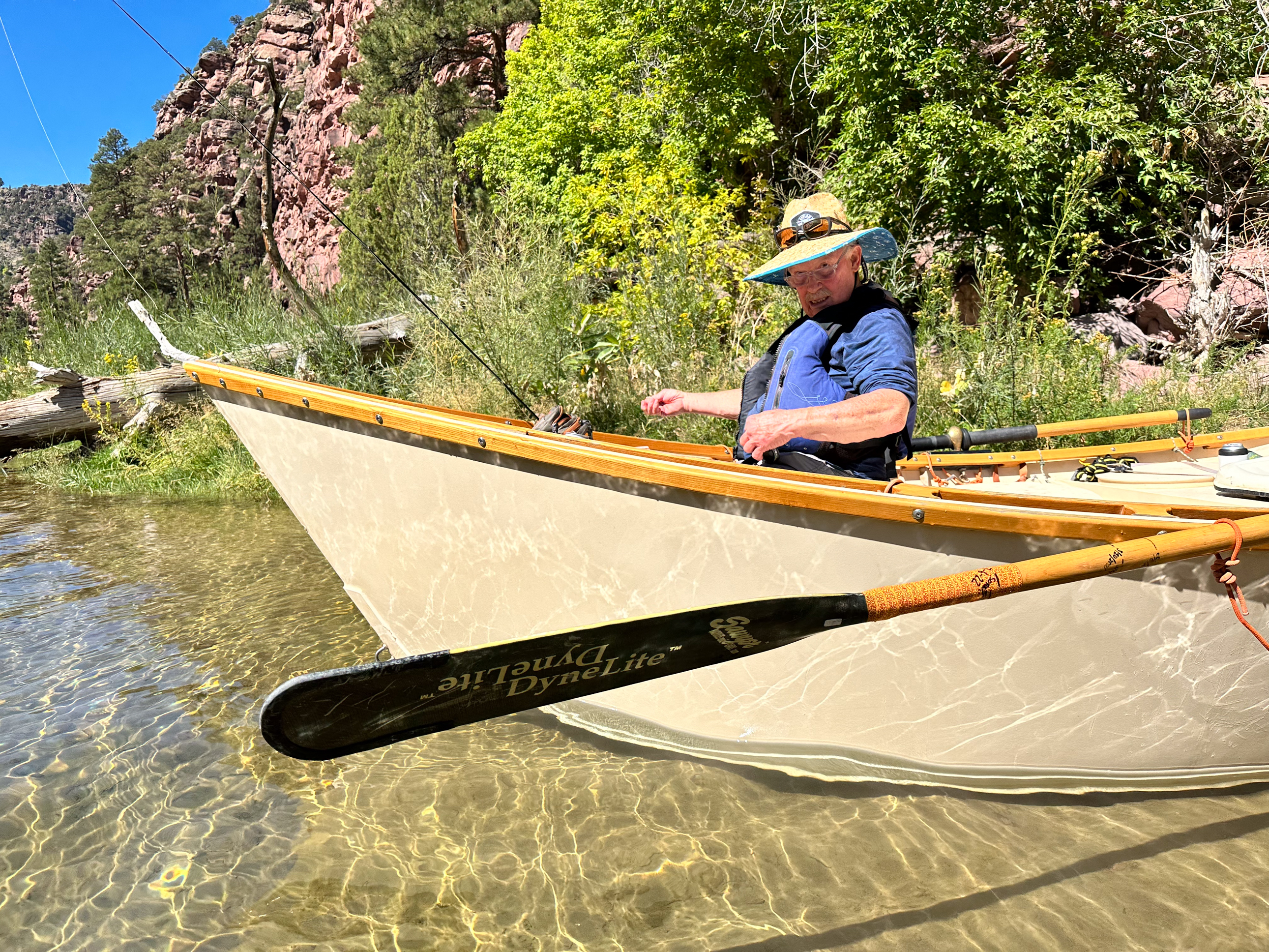
Range Canyon — scouting Mile Long from above
25,400 cfs daily mean, water 61°F, air high 90°F.
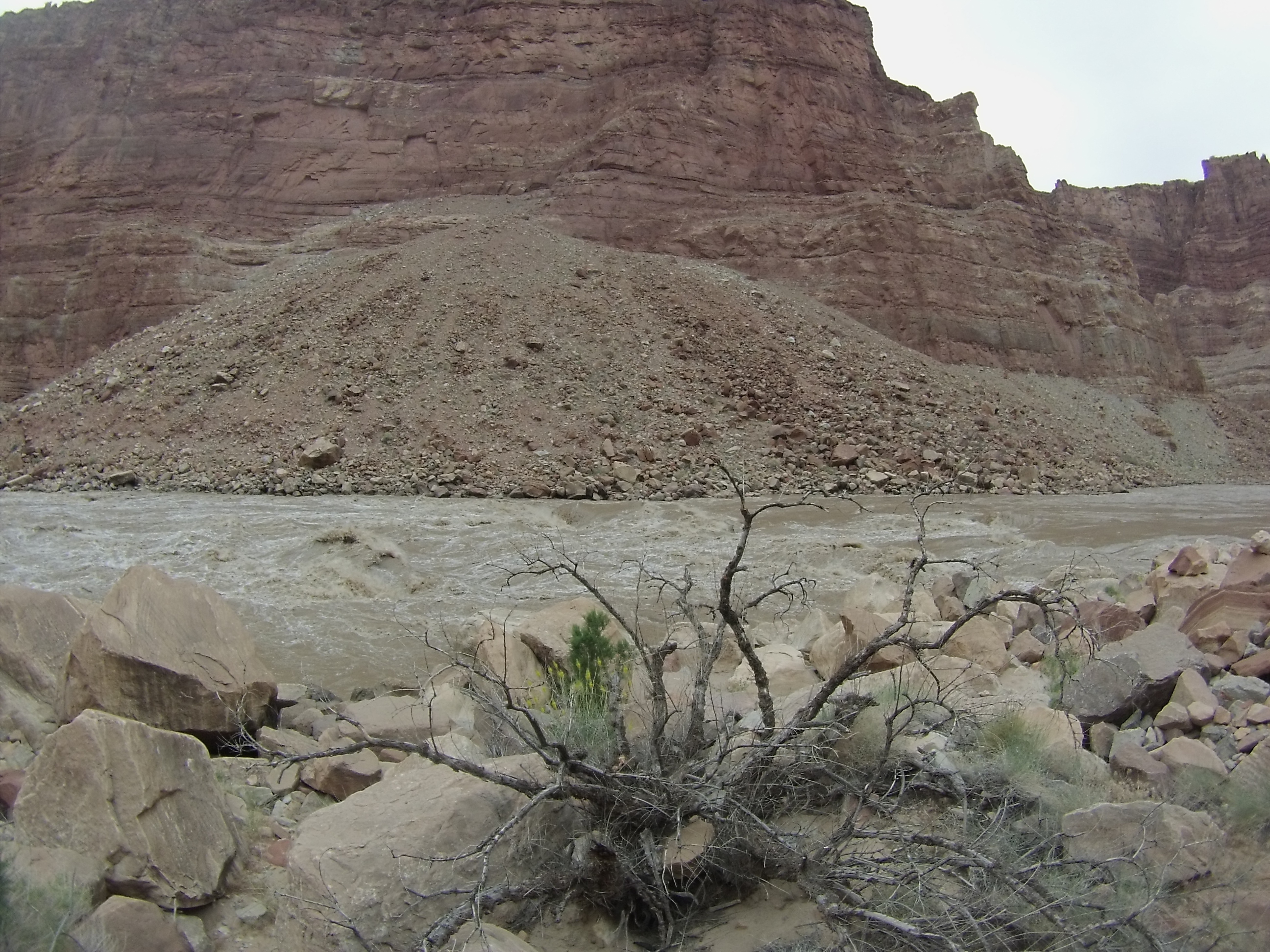
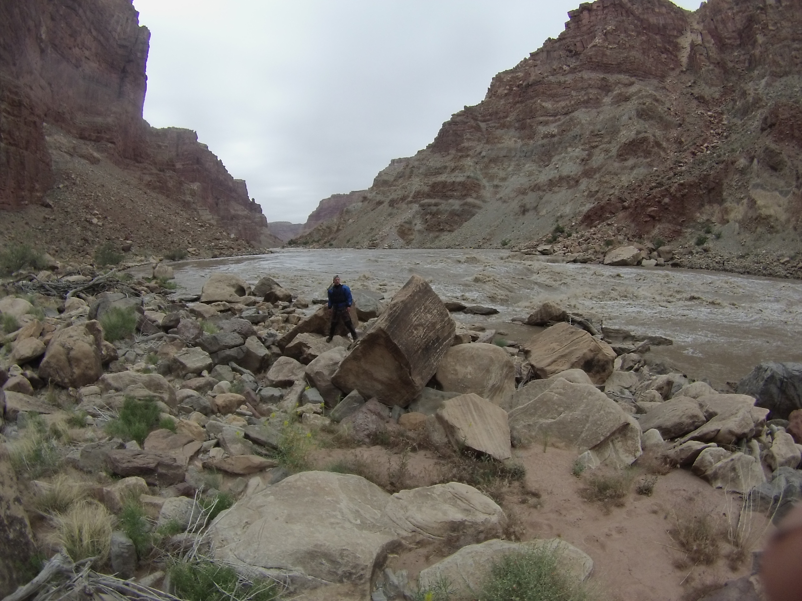
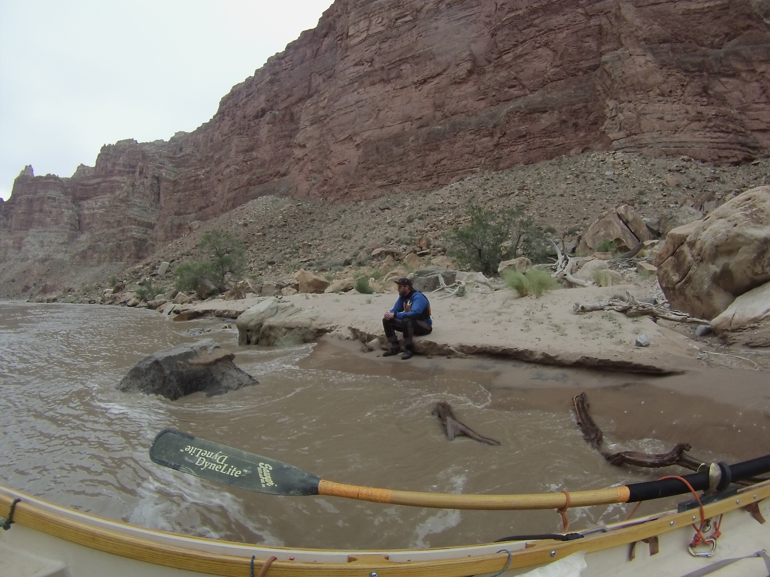
Camp across from Range Canyon Camp, river right, just downstream of the Range Canyon mouth. The scree hill behind the camp climbs to a perch that puts you directly above Mile Long Rapids with a clean line of sight on the Button Hole. Going up the day before whitewater is the whole point: at 28,000–30,000 cfs the Big Drops move. You want to know what the features look like from altitude before you're rowing into them at water level. Note for the log: Button Hole did not activate during our viewing window. Open question — is the activation threshold above 30k, or does it need a different water profile (falling stage, specific ratio between the Colorado and Green contributions)? We didn't have enough data points to say. Flows: 25,400 cfs, water 61°F.


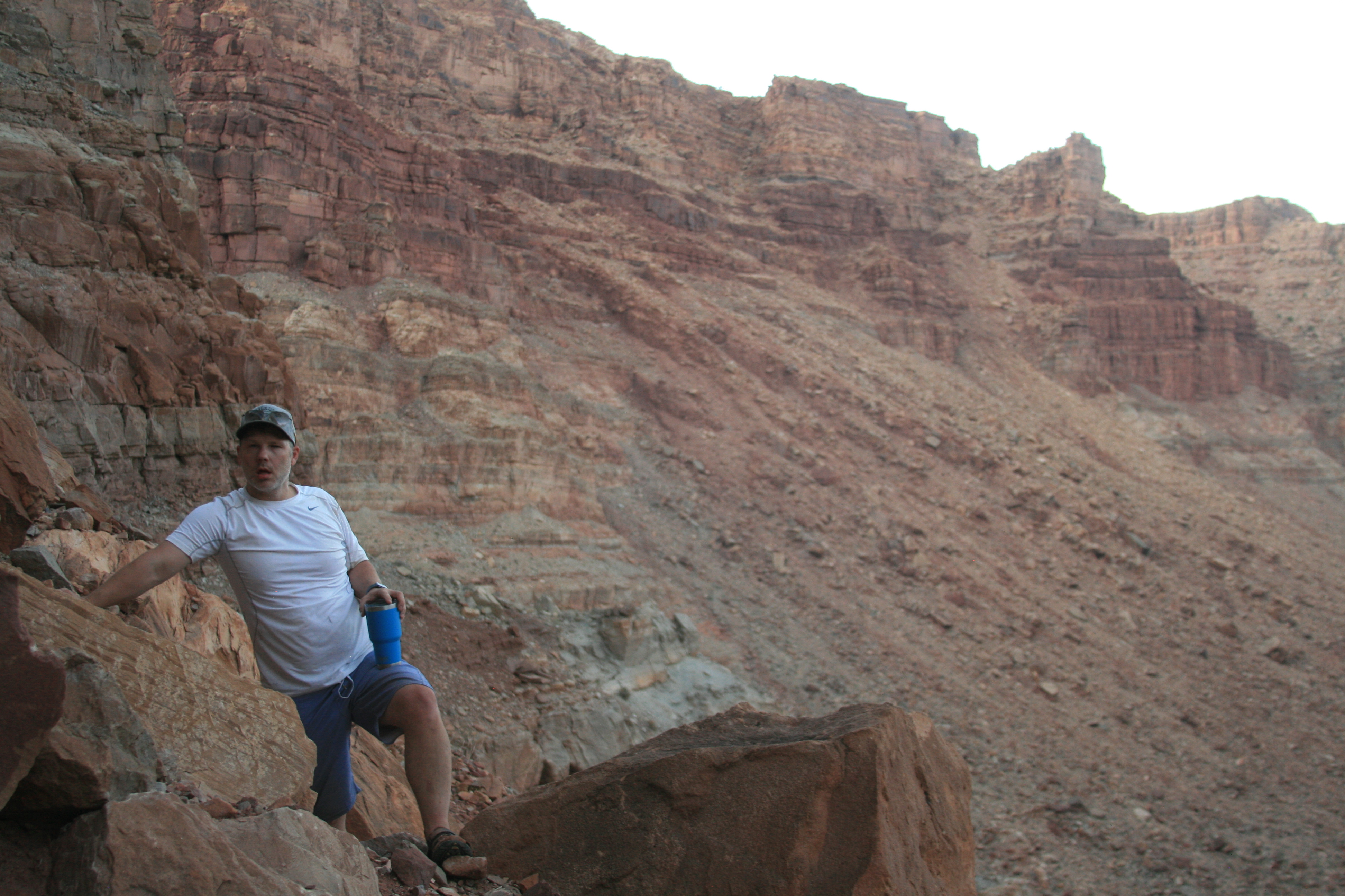
Range Canyon — scouting Mile Long from above
IMG_9740
IMG_9741
IMG_9746
IMG_9764
IMG_9769
IMG_9788
IMG_9798
IMG_9814
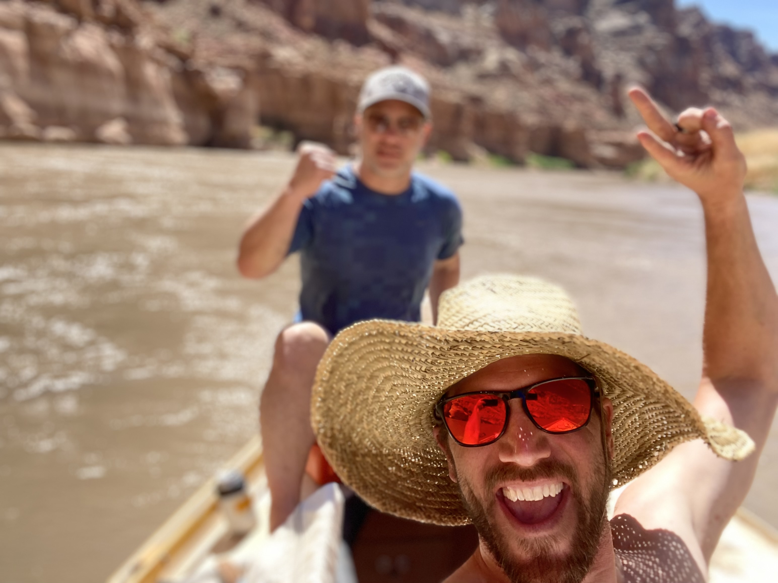
jon dory outboard stoke
josh confluence
Mile Long, the Big Drops, and Dark Canyon
27,300 cfs daily mean, water 59°F, air high 90°F.
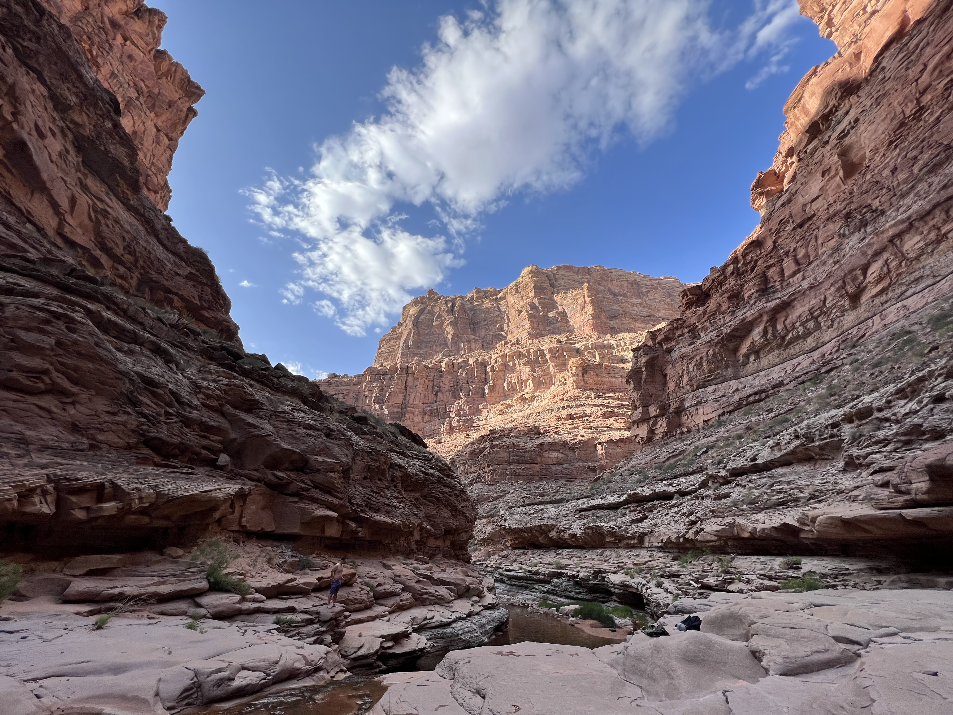
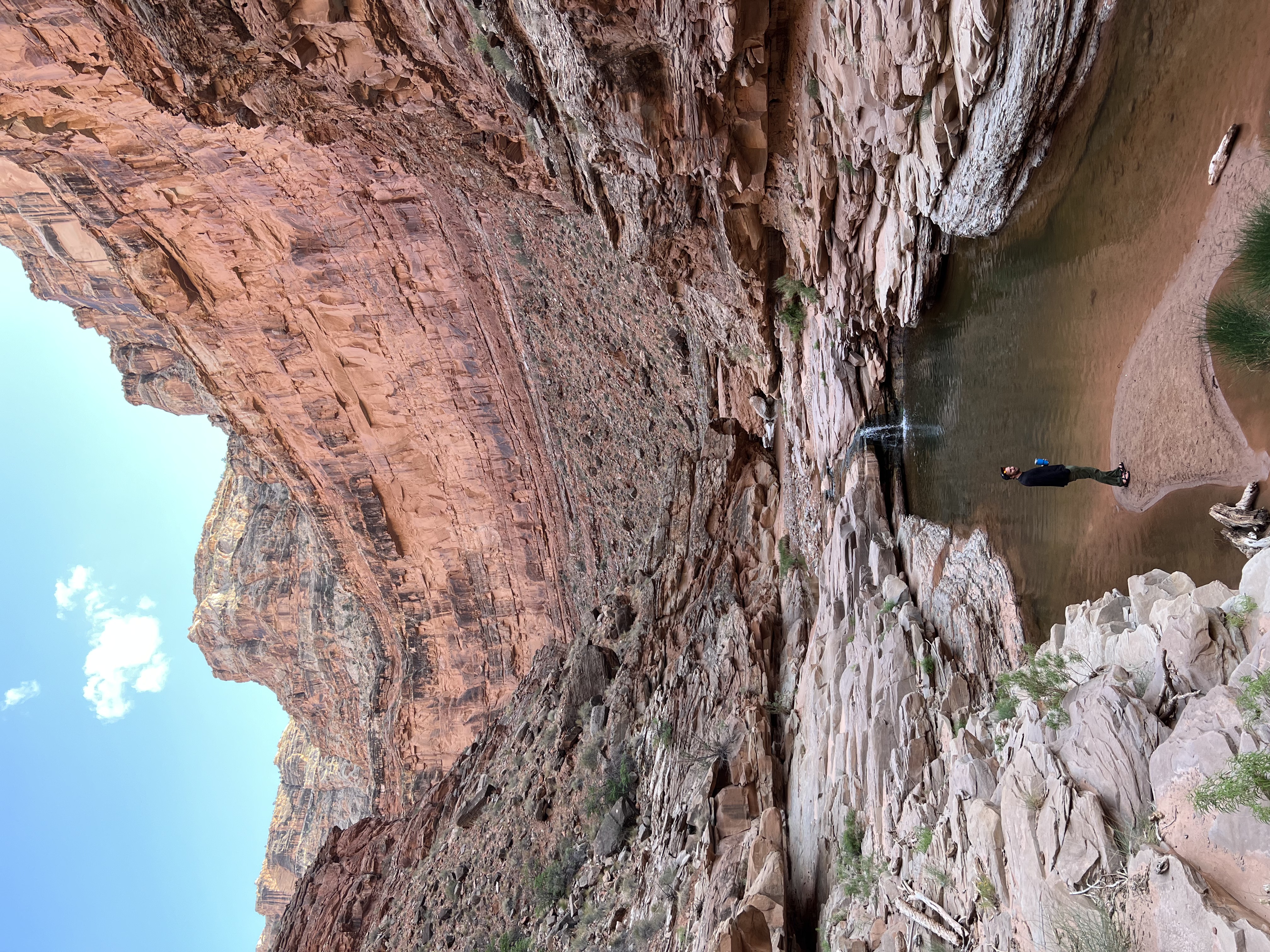
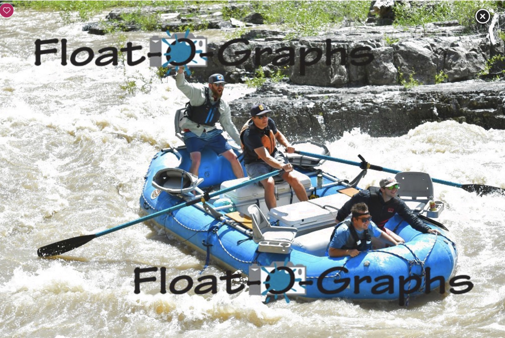
Mile Long first. At this level it runs long and big but not technical — stay center, take the waves straight. Big Drop 1 is the warm-up. Big Drop 2 is the line we planned the day before from the perch: row back into the eddy behind Marker Rock, swing 180 degrees, drive left of the ledge wave, then left of Pyramid Wave, then cut right of the Claw and ride down to the Big Drop 3 beach on river right. That line worked clean. Big Drop 3 is where the trip got rewritten. We took the right run. The crasher at the bottom required a right high-side and we got it, but not stable — it knocked us. A more committed, earlier-set high-side position is what a cleaner run looks like here. We stayed in the boat. That's the difference between a story and a rescue. Below Imperial, nothing terrible at this level. Hiked Dark Canyon past the first pool — the water is clear, the rock is cool, and after the Big Drops it's the correct decompression. Camped on the bench across from the Dark Canyon mouth, river right.
Mile Long, the Big Drops, and Dark Canyon
GOPR0602
GOPR0613
GOPR0633
GOPR0637
GOPR0640
GOPR0643
Hite to Cedar Canyon — the new sand-wave reach
28,100 cfs daily mean, water 55°F, air high 75°F, wind picking up across the reservoir.
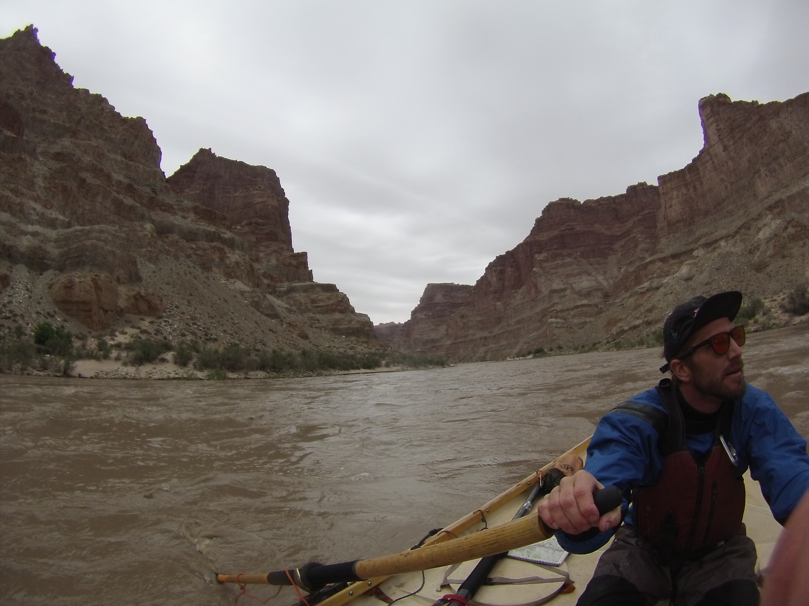
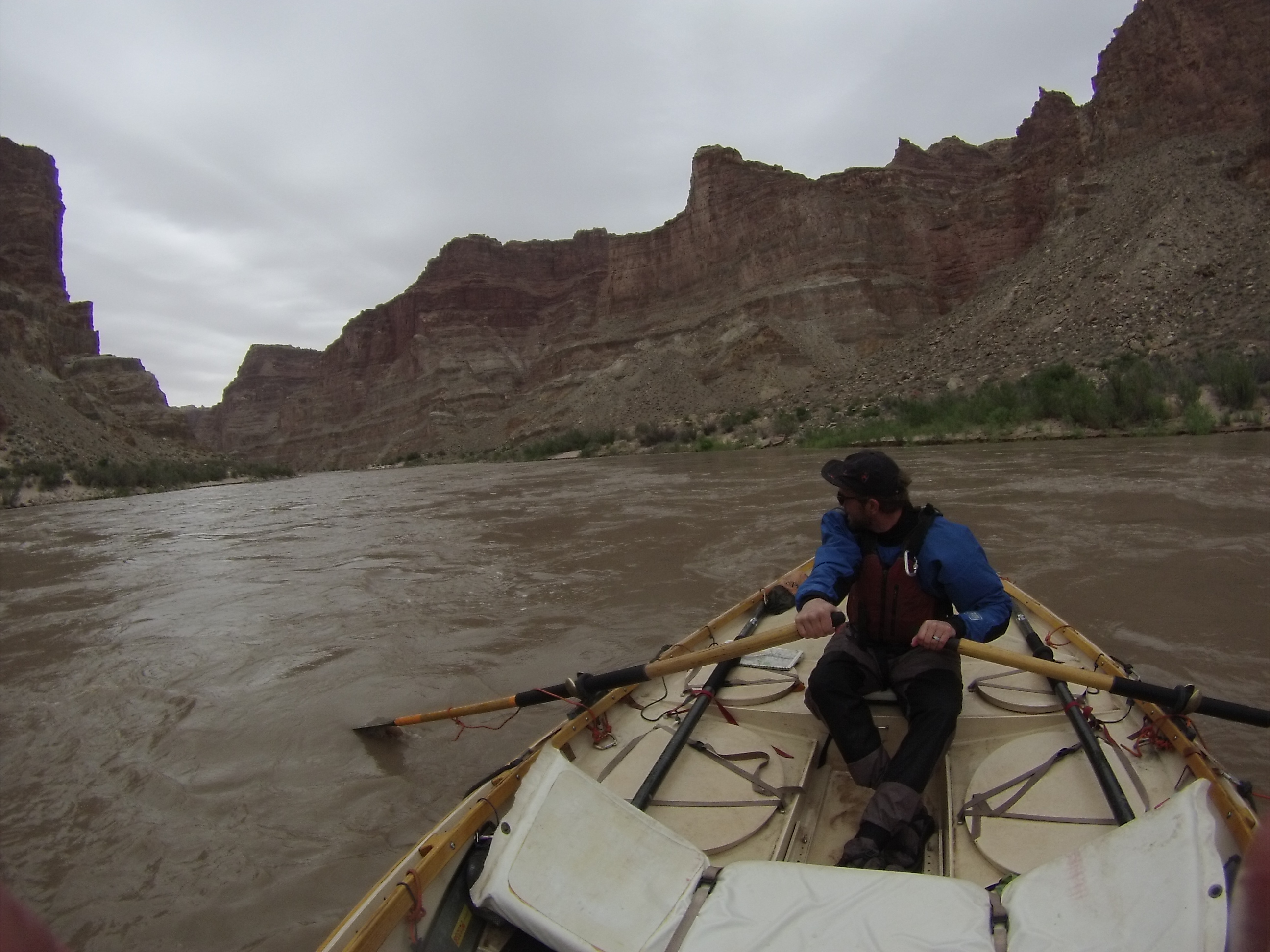
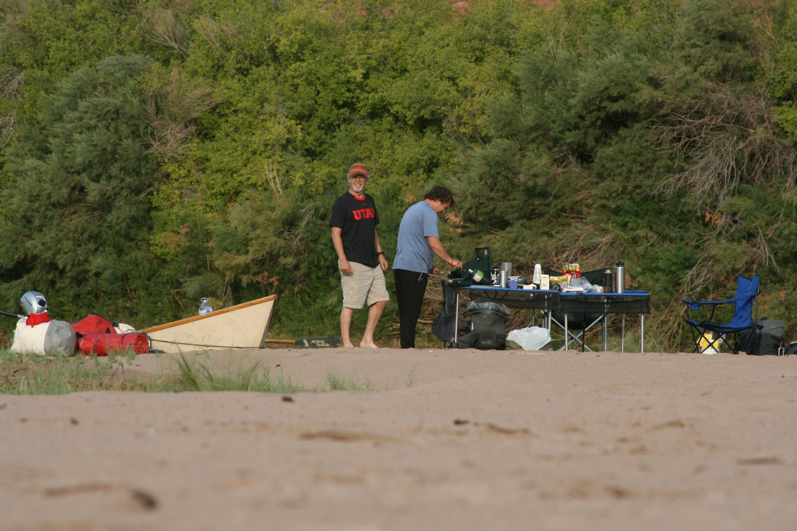
Motor to Hite. Below Hite is the section most guidebooks describe as reservoir — and at 3,527 ft of elevation, that description is out of date. From Hite down toward Good Hope Bay the river is cutting a new gradient through the old Lake Powell sediments. The result at this level is Class 3 sand waves, floatable and novel. This is the paragraph that will age interestingly: as the reservoir continues to drop, this reach will keep changing. Today it was a bonus whitewater section the itinerary didn't plan for. Camp choice mattered on Day 4. We tried Seven Mile Canyon first and left it — critters, trash, and the kind of bad-smelling mud that tells you the water table has been doing work in places you don't want to sleep. Cedar Canyon was the fallback and the correct call: dry ground out of the main-channel wind, which was pushing large rolling waves down the reservoir. Some green water got in the boat on the crossing. That's the reservoir on a windy afternoon.
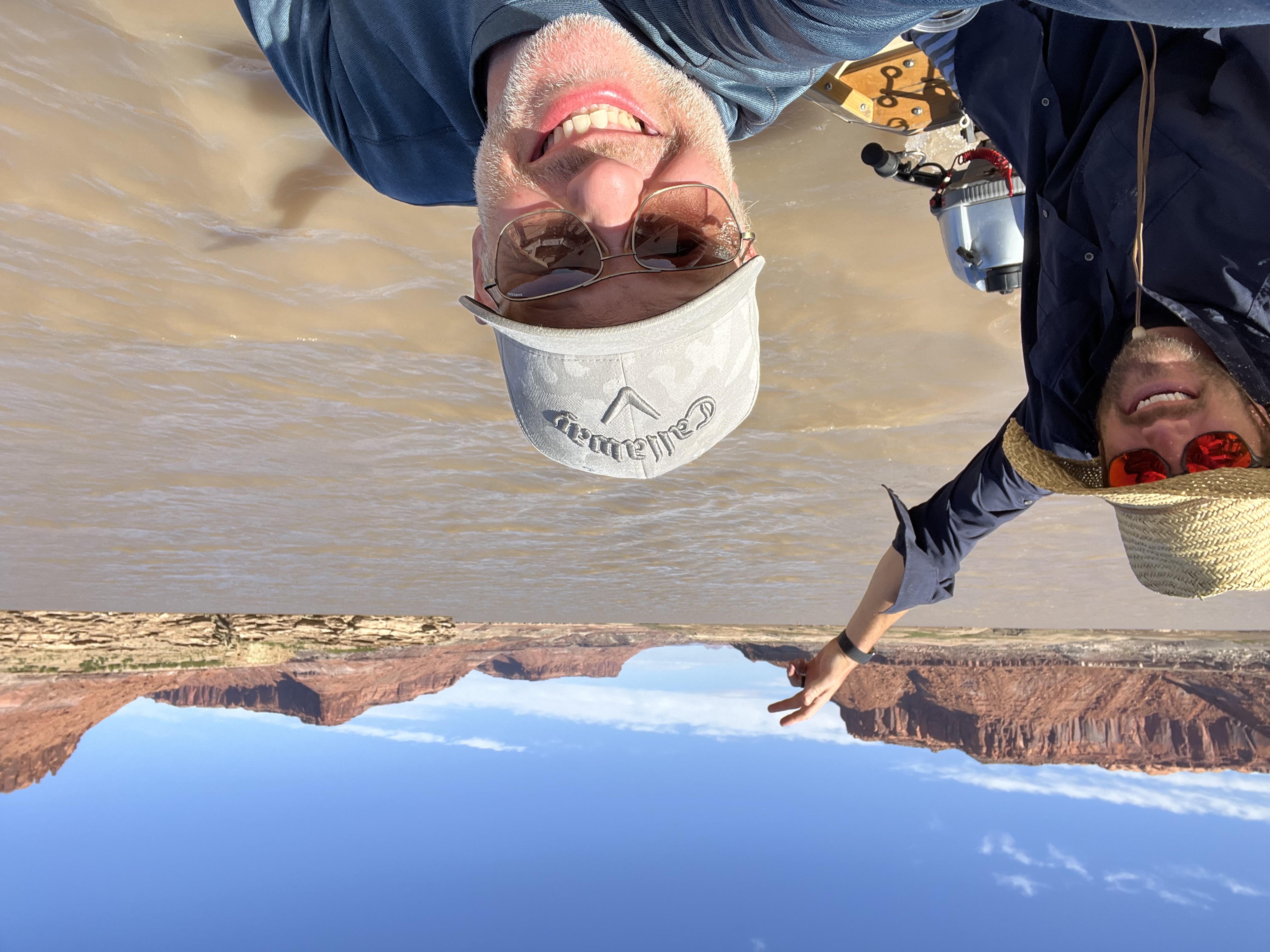
Hite to Cedar Canyon — the new sand-wave reach
dark canyon camp
josh dark canyon
jon dark canyon 1st pool
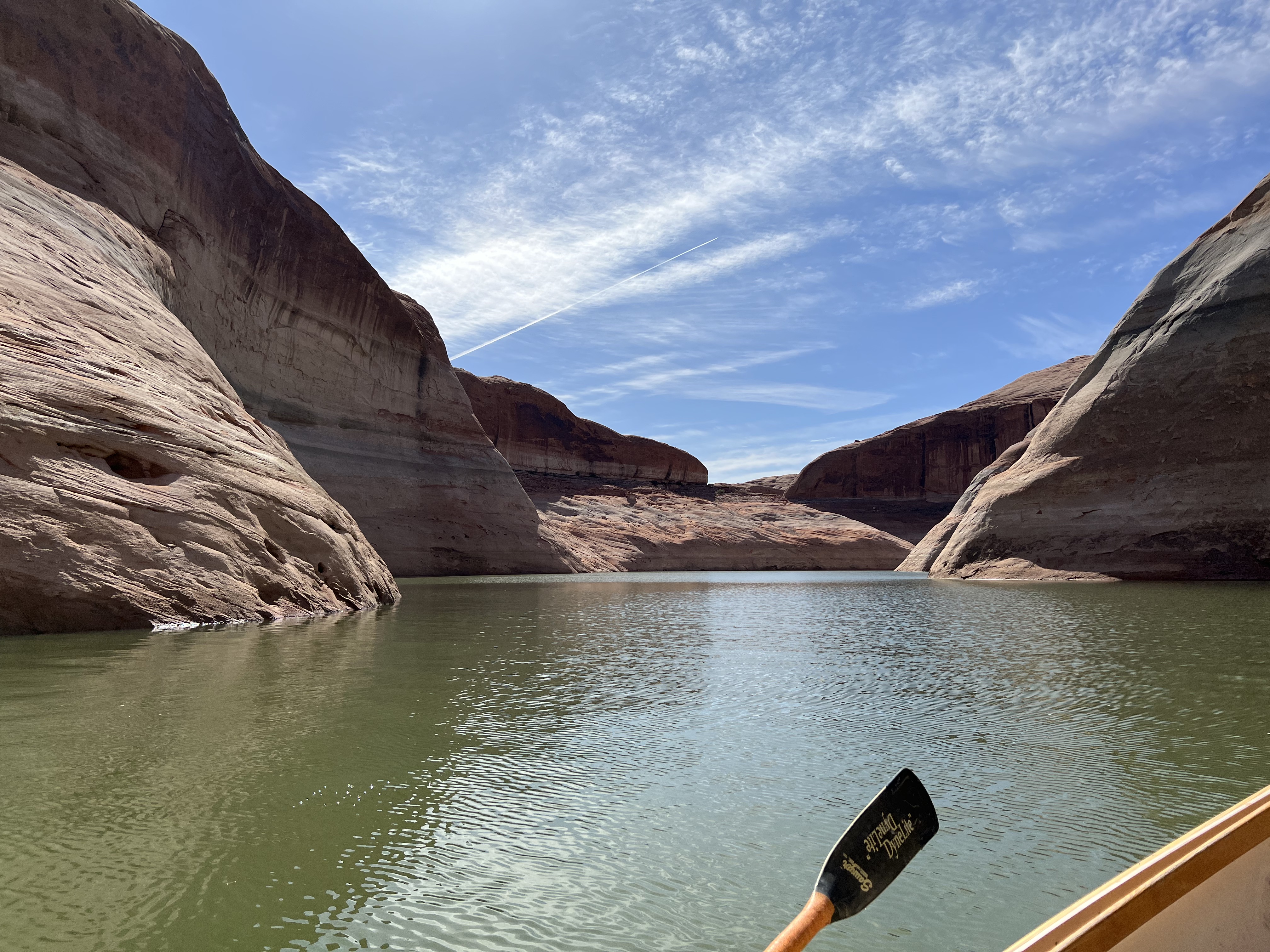
josh narrow canyon
jon josh cataract
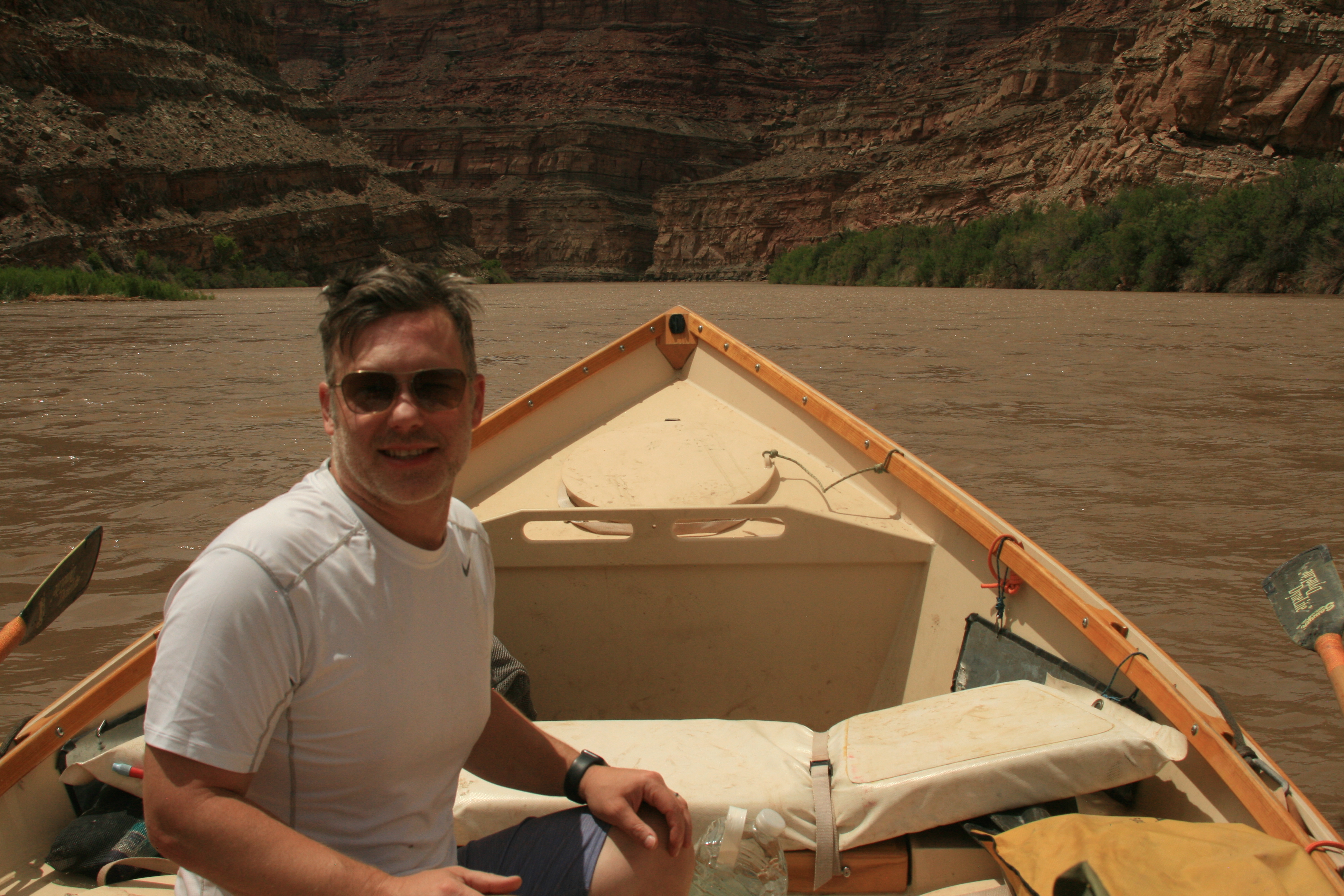
josh motoring
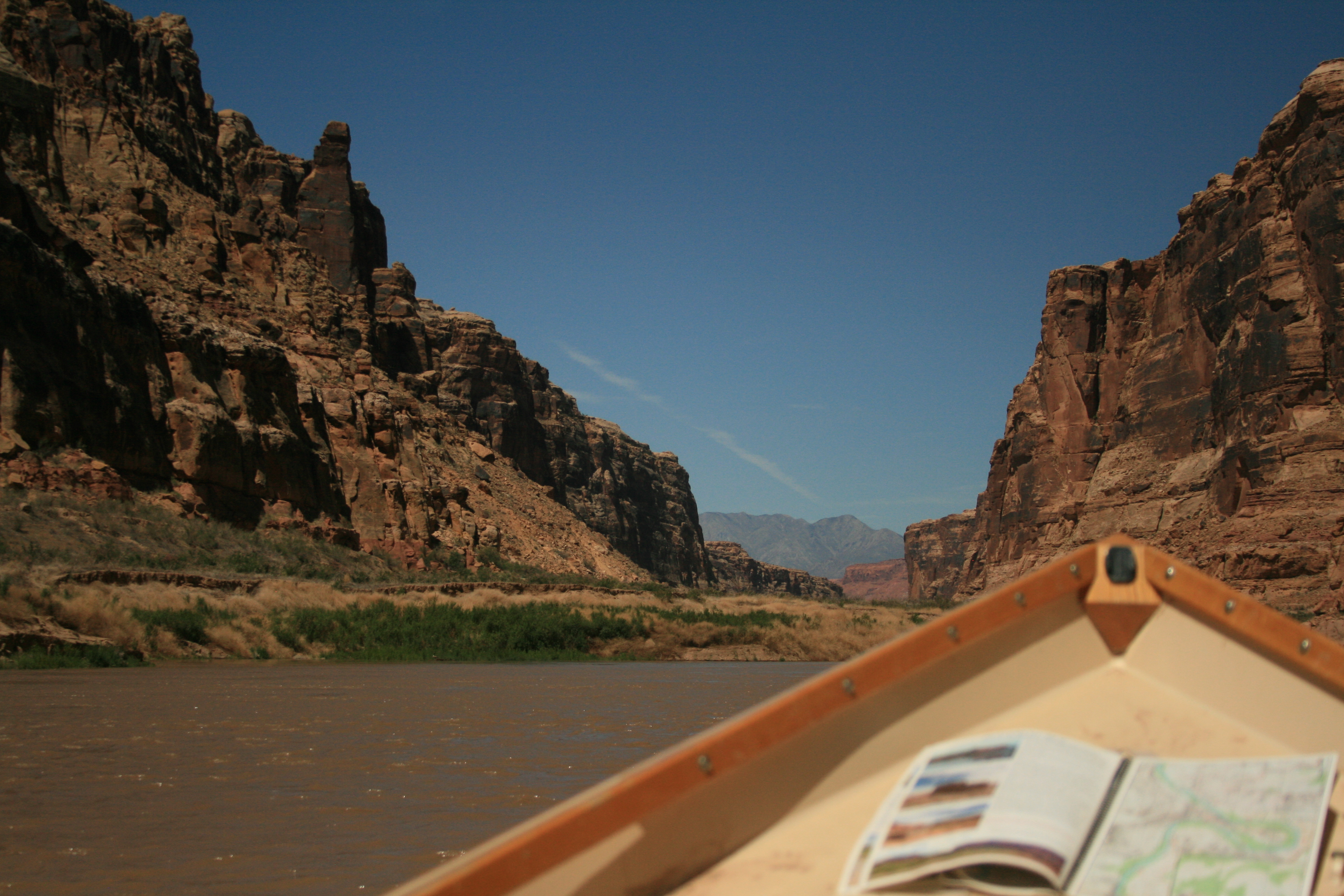
narrow canyon dory map
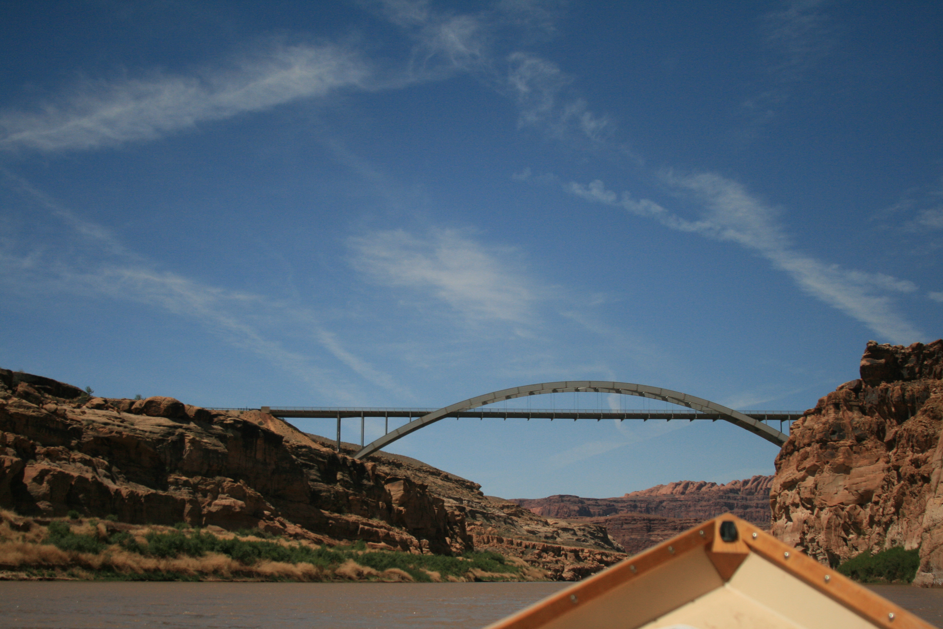
hite bridge
2022 05 21_17 30 55_027
2022 05 22_09 45 16_003
Cedar Canyon to the marina
26,700 cfs daily mean, water 55°F, air high 79°F.
Cedar Canyon to the marina take-out. Shuttle ran late, which turned the last hour into a logistics problem instead of a travel day — walking around, waiting, re-staging. The fix is shuttle protocol, not adrenaline. At 3,527 ft the main ramp is high and dry; NPS has cemented the service ramp as the working ramp. Plan for that condition, not the ramp shown in guidebooks. Expect this to keep evolving as Powell moves.
Moments the crew logged on this run.
Boat Ramp Launch
Boats loaded, straps checked, final headcount. The put-in is all business — controlled chaos on a concrete ramp before the river takes over.
- anticipation
- focus
- commitment
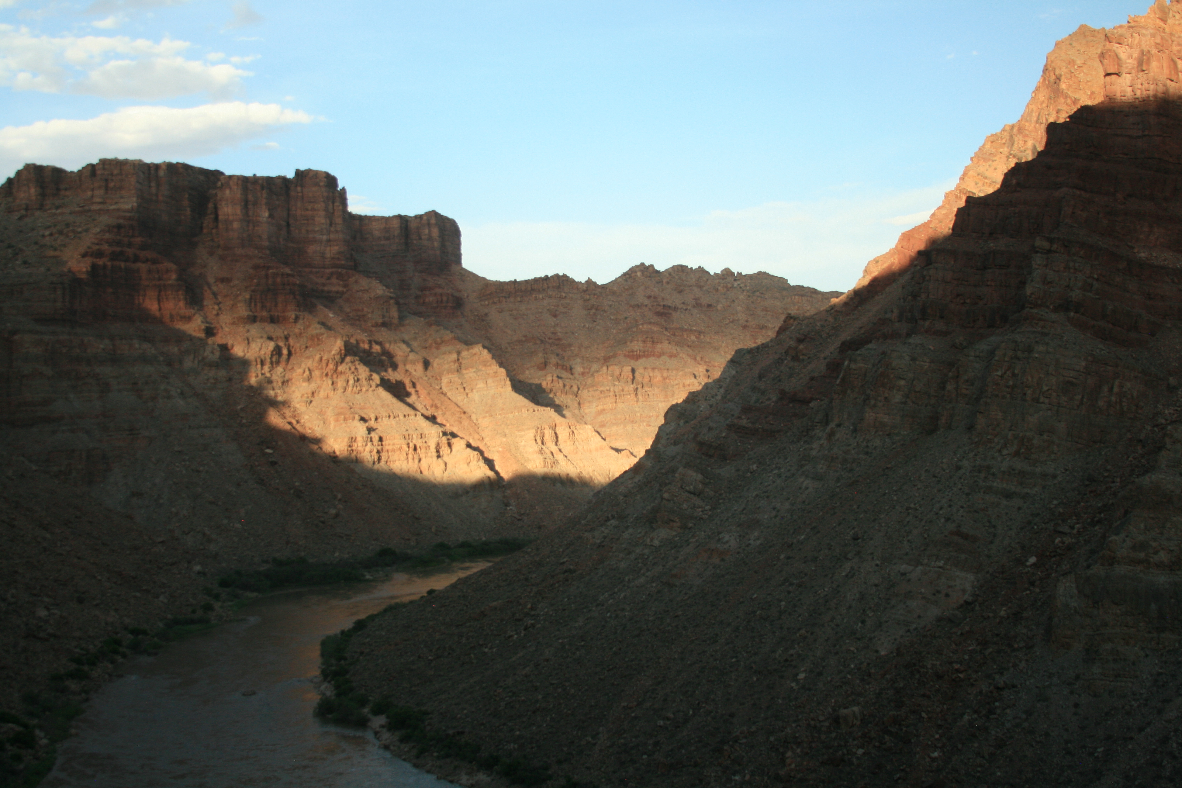
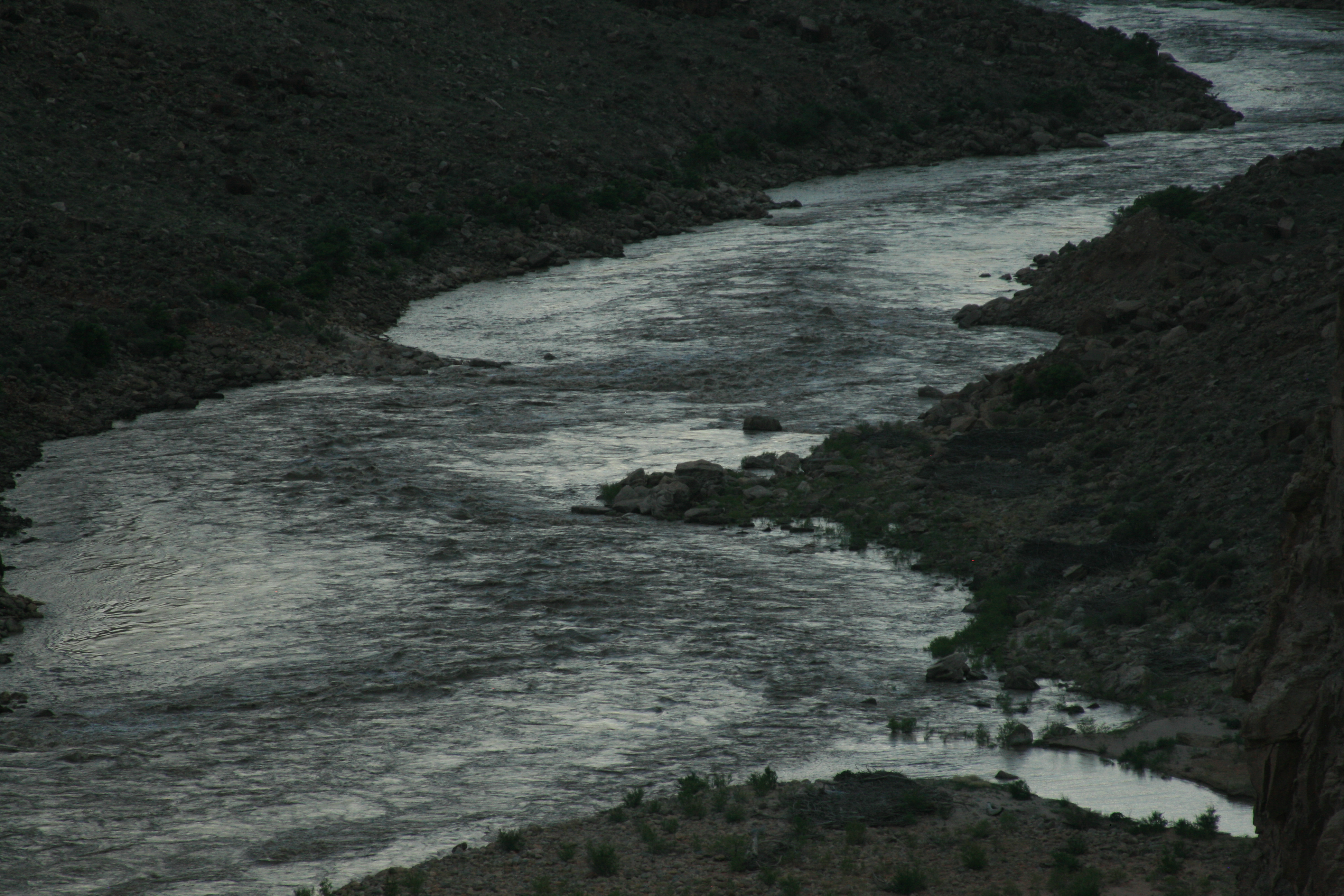
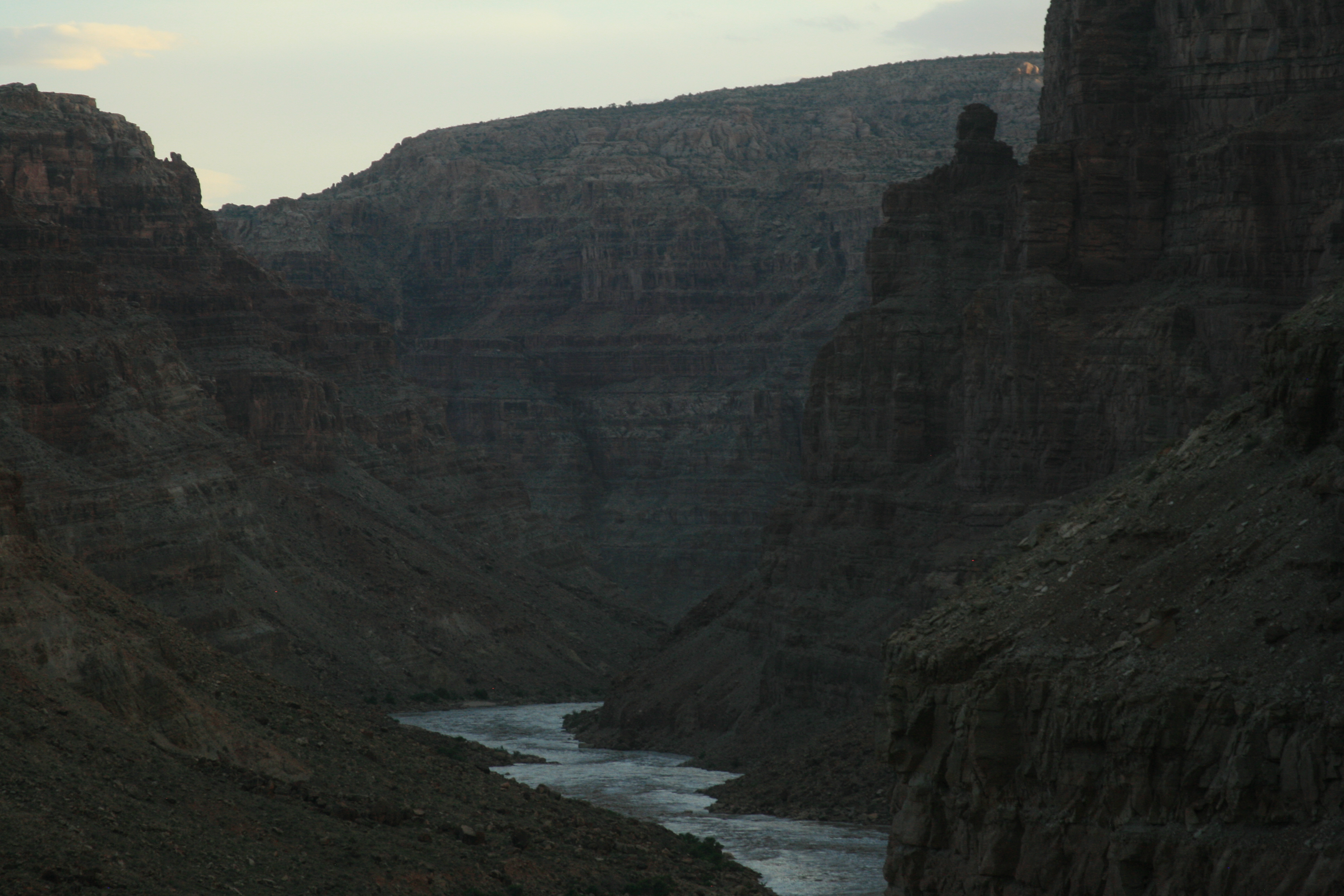
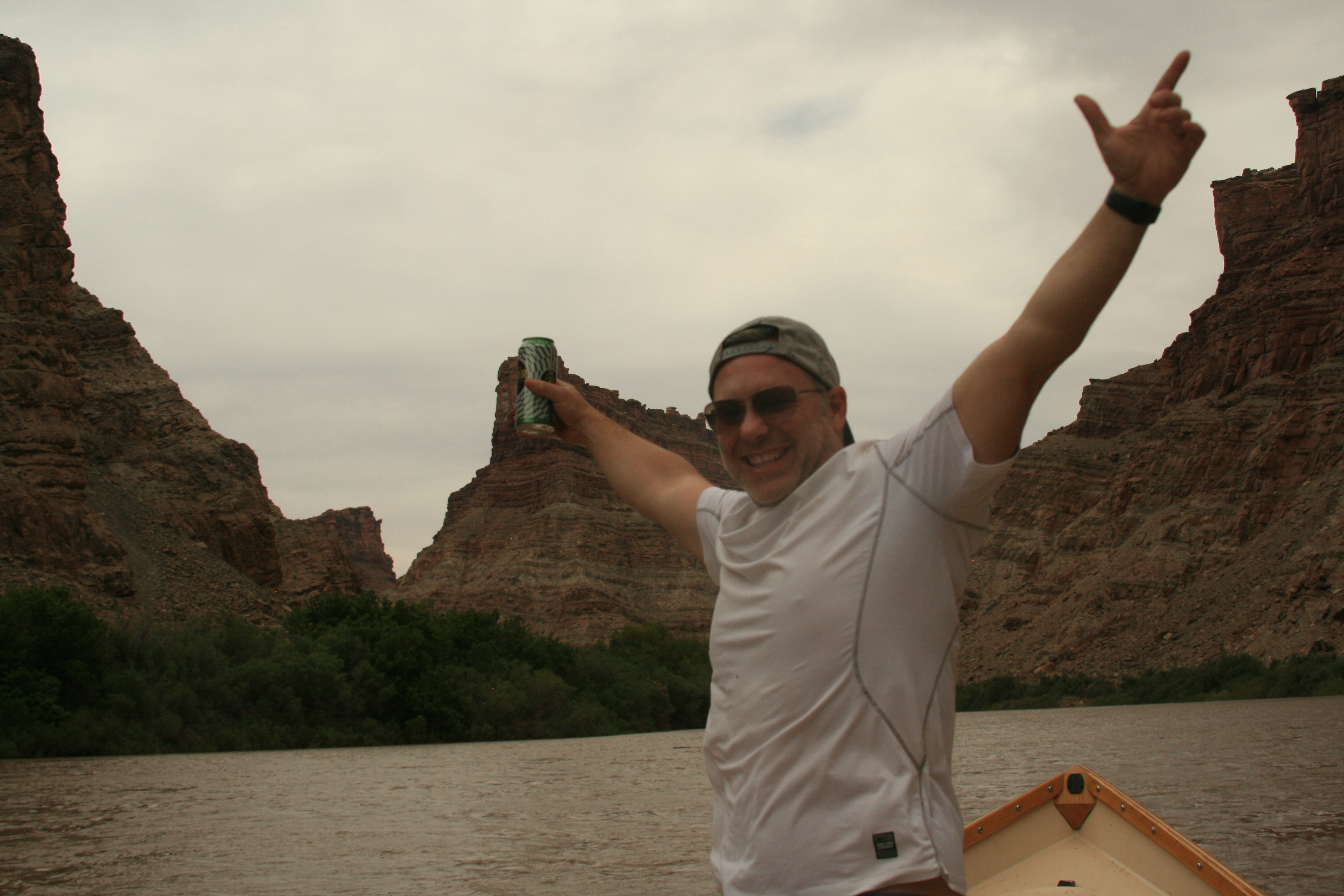
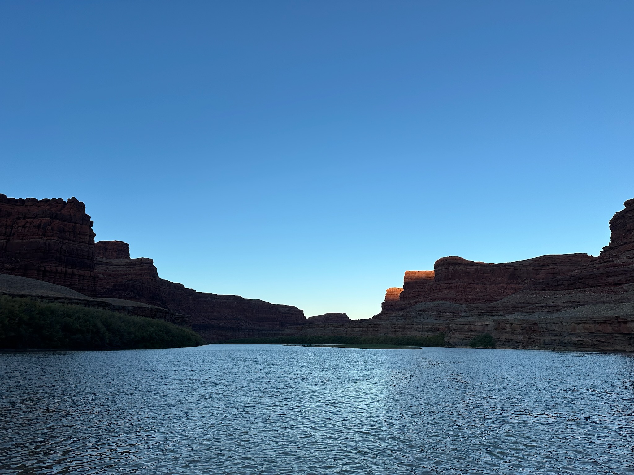
River at Night
After dark, the river stops being scenery and becomes presence: sound, silver fragments, black current, and the knowledge that travel continues even while camp sleeps.
- awe
- calm
- solitude
- reflection
- insignificance
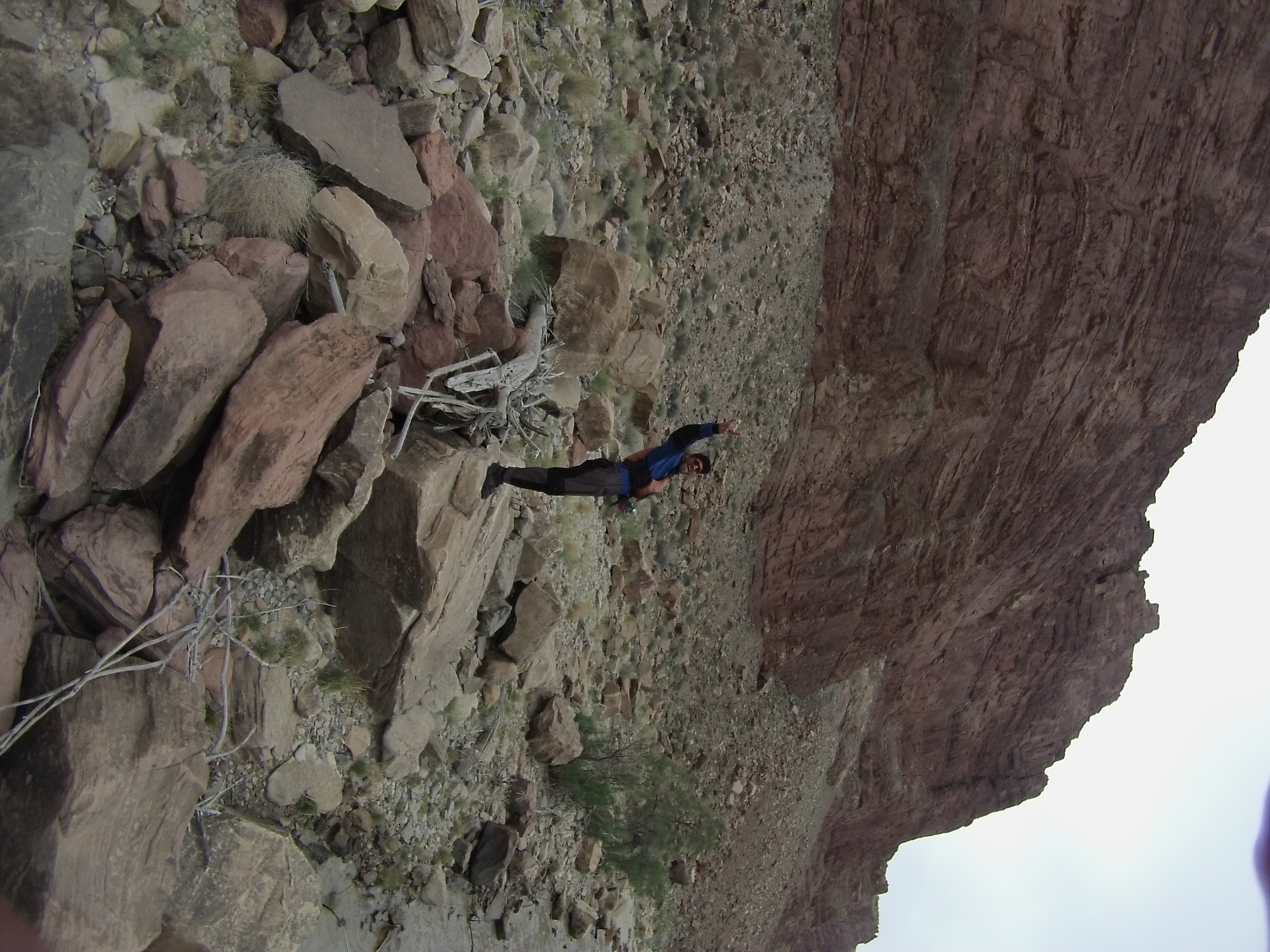
Scouting Big Water from Above
The day before the whitewater, the crew climbs the scree hill behind camp to read the big-water lines from altitude — because at high flows the features move, and you want to know what they look like from above before you are rowing into them at water level.
- focus
- anticipation
- competence
- patience
- calm
Entering the Rapid
The threshold moment where the river stops being something you are reading and becomes something you are inside. The horizon line drops, speed builds, and every decision made upstream starts collecting interest.
- anticipation
- focus
- commitment
- adrenaline
- tension
Big Drop 2 at High Water
Big Drop 2 at high water is the moment when the river stops offering suggestions and starts issuing terms. The line is still readable, but the scale has changed: waves are taller, recovery is shorter, and every casual decision made upstream arrives at once with a clipboard and a legal department.
- anticipation
- fear
- focus
- adrenaline
- competence
- humor
Inside the Chaos
The moment inside a rapid where structure disappears, control is partial at best, and survival depends on instinct, positioning, and the decisions made seconds earlier.
- adrenaline
- fear
- focus
- instability
- grit
Side Canyon Exploration
Pulling over, tying off, hiking into a slot. Petroglyphs on a wall. An arch framing sky. The river trip becomes something else for an hour.
- wonder
- discovery
- solitude
Big Drops
The Big Drops in Cataract Canyon are the moment the trip stops being scenic river travel and becomes a negotiation with scale. The approach is designed to make a reader feel the weight of the place—intimidated, alert, a little afraid—before revealing that passage is possible when fear is converted into clean angle, timing, rigging, and trust.
- anticipation
- fear
- focus
- awe
- adrenaline
- competence
- humor
- commitment
- relief
The New Sand Waves Below Hite
Below Hite, in water the guidebooks still call reservoir, the river is cutting a new gradient through the old Lake Powell sediments — and at the right flow it throws a train of Class 3 sand waves nobody planned for, a bonus rapid that did not exist a few years ago and will be different next year.
- wonder
- discovery
- humor
- adaptation
- awe
The Shuttle Gospel
The river trip officially begins or ends with the least romantic question in the West: who has the keys, where is the takeout vehicle, and why is the person with the answer currently out of cell service? Shuttle logistics are the hidden skeleton of river travel — dusty, unphotogenic, absolutely essential, and funnier after the boats are finally rigged.
- focus
- practicality
- anticipation
- humor
- relief
- competence
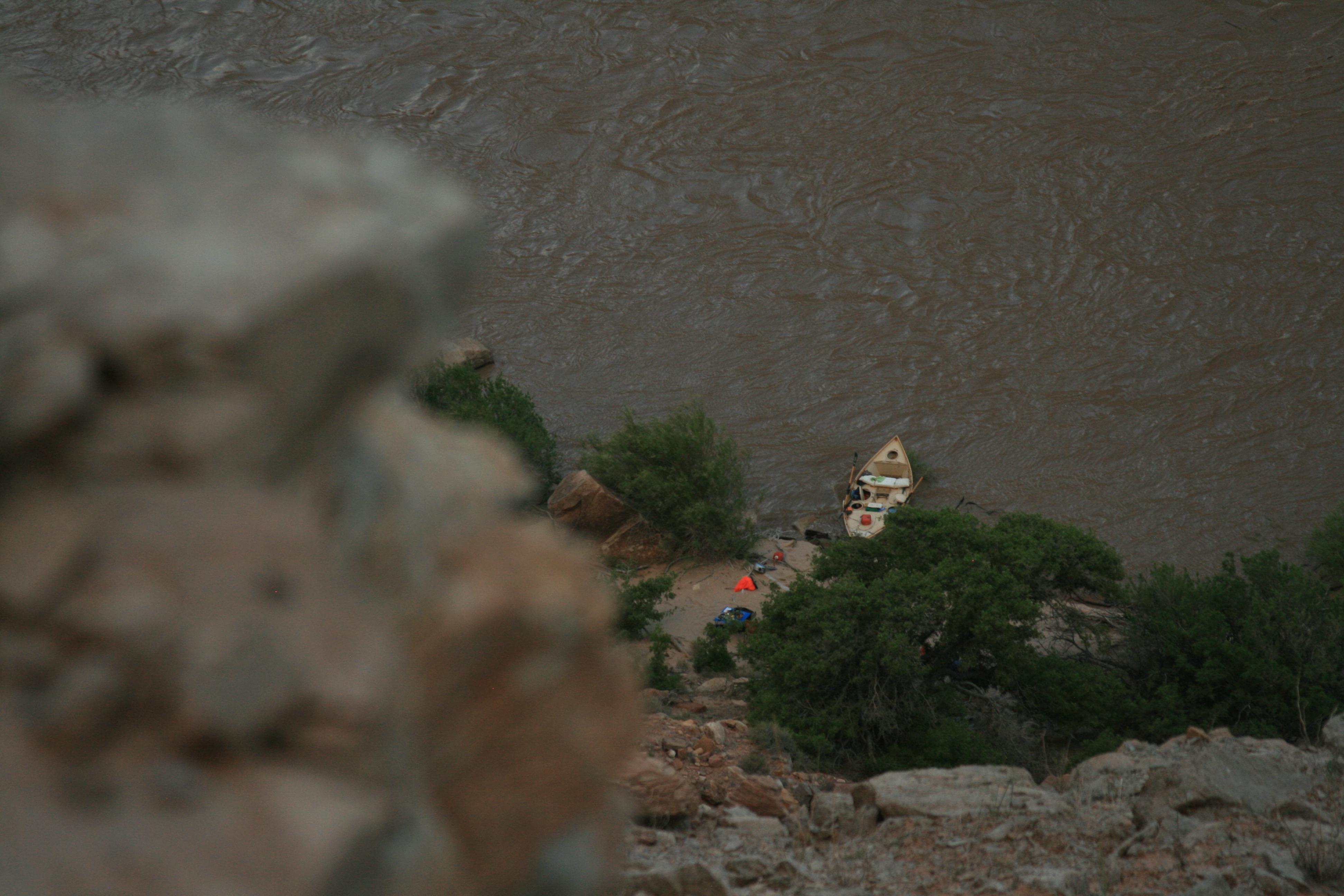
Takeout Transition
Boats hit shore. Gear piles. Reality creeps back. The trip ends not with a bang but with a truck and a cooler.
- reflection
- loss
- satisfaction
Night launch from Potash
Put on at 10 PM and motor 40 miles overnight to Cove Camp
Scouting Mile Long from the scree-hill perch
Camp across from Range Canyon and scout from above the day before
Big Drop 3 right run
Right run into the crasher; high-side held but was unstable
Seven Mile Canyon camp abort
Left the site after dark and moved to Cedar Canyon
- Big Drop 3 right run at 28–30k: set the right high-side earlier and more committed than feels necessary. The crasher at the bottom will test whatever you've got.
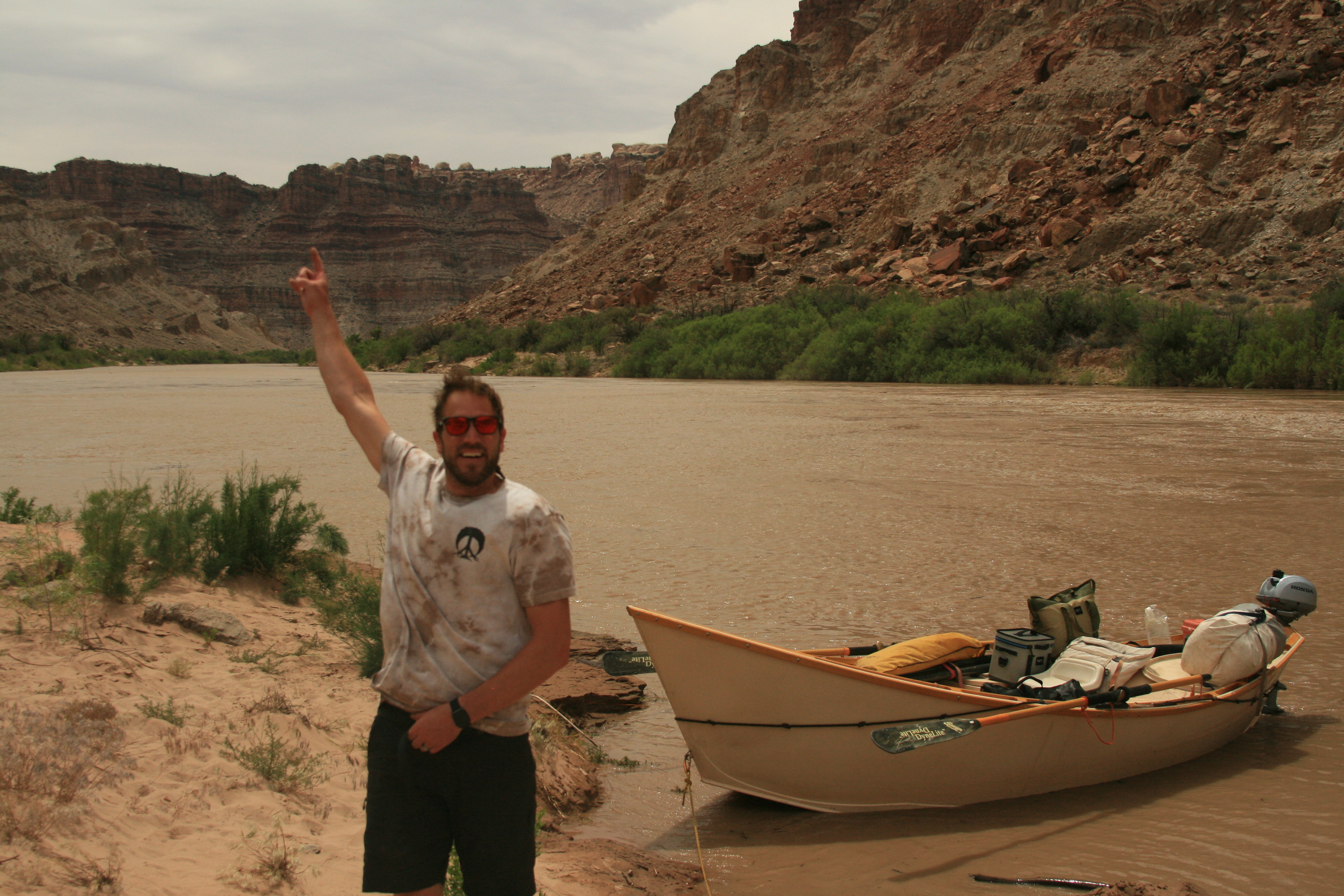
- On high-water Cataract, the whitewater is one day of five. A dory-plus-motor is the rig that solves for the other four (flatwater above, reservoir below).
- Scout Mile Long + the Button Hole from the scree hill above Range Canyon Camp the day before you row them. Water-level scouting at 30k loses features that are visible from altitude.
- On a receding Powell (3,527 ft and dropping), plan for the ramp condition you'll actually find — service ramp cemented, main ramp dry — not the one in guidebooks.
- Reservoir camp rule: if the mud smells wrong, the water table has been moving through it. Don't sleep on it. Cedar Canyon over Seven Mile Canyon at this elevation.
- Earlier, more committed right high-side on Big Drop 3. Log enough Button Hole observations (flow + stage trend + Colorado/Green ratio) to answer the activation-threshold question.
Two timing decisions drove this trip: (1) launching at 10 PM from Potash to put the whitewater day on the right clock, and (2) camping at Range Canyon the day before the Big Drops to scout from the scree hill above Mile Long. Both are replicable. On the reservoir side, the entire lower canyon now requires planning against elevation — ramp status, sand-wave reach, camp quality — not against river miles alone.
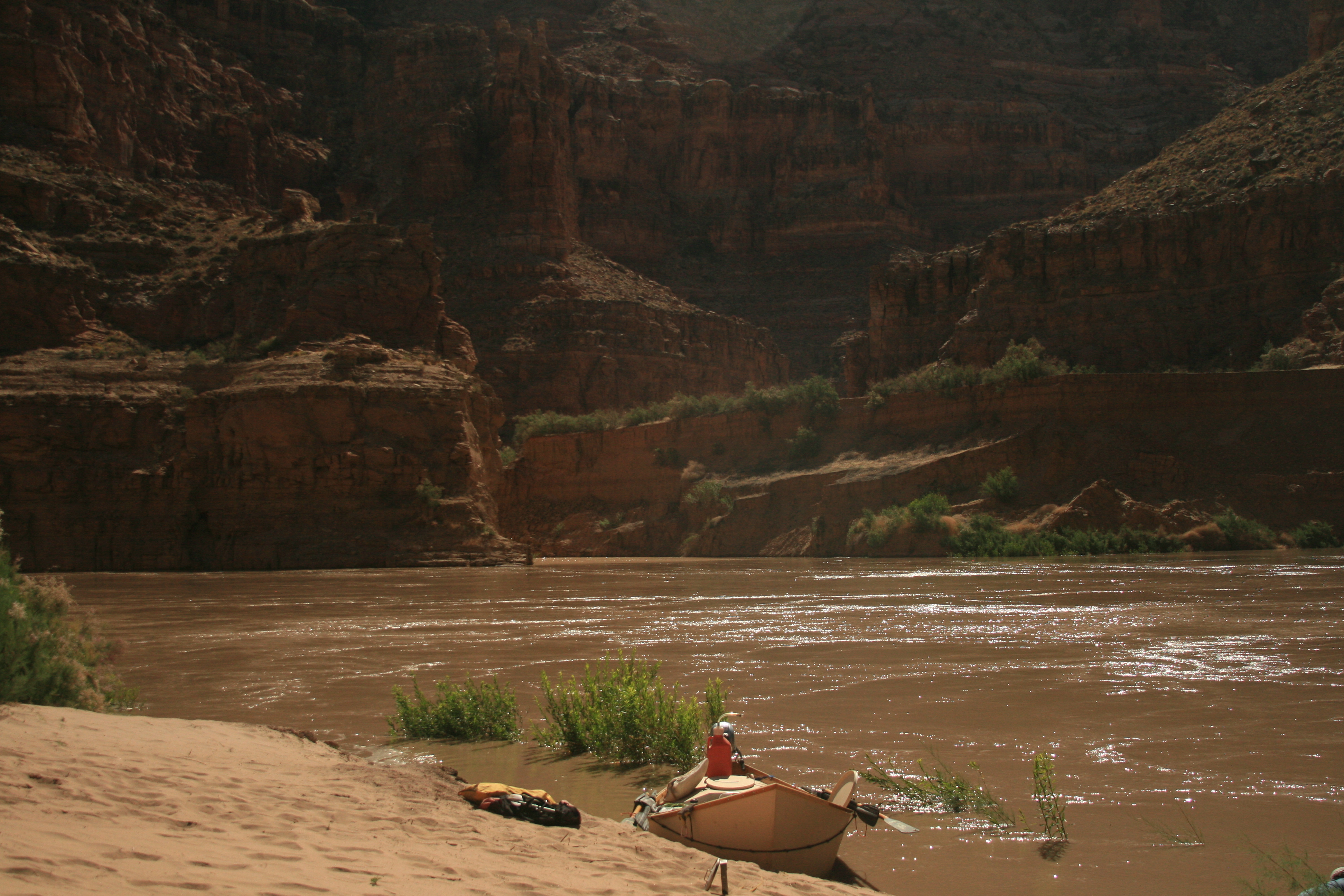
Dory with a motor. The motor is not a luxury on this itinerary — it's how you make the five-day window work around one whitewater day.
Colorado at Potash: 14,600–16,300 cfs (avg 15,460)
Green at Mineral Bottom: 9,430–12,500 cfs (avg 10,766)
Combined: 24,430–27,900 cfs (avg 26,226)
This is a high-water run on a reservoir in active transition. If the Powell elevation matters to your trip — and at 3,527 ft, it does — expect a different lower canyon than guidebooks describe. The sand waves below Hite are the story here, not the Big Drops.
Lake Powell: 3526.05 ft at launch (3526.05–3528.33 ft during trip). USBR RISE API — Lake Powell at Glen Canyon Dam
Weather: Moab, UT, –93°F. NOAA GHCN-Daily
Evidence behind the claims on this page — agency rules, maps, gauges, books, and field notes.
Permits
Hydrology
Access
Rapids
- book-excerpt Cataract Canyon (Webb / Belnap / Weisheit) — Selected Pages
- book RiverMaps Guide to the Colorado & Green Rivers in the Canyonlands of Utah & Colorado
Management
Books
Safety
- book-excerpt Cataract Canyon (Webb / Belnap / Weisheit) — Selected Pages
Cataract Canyon — September 2020
Cataract Canyon — June 2023
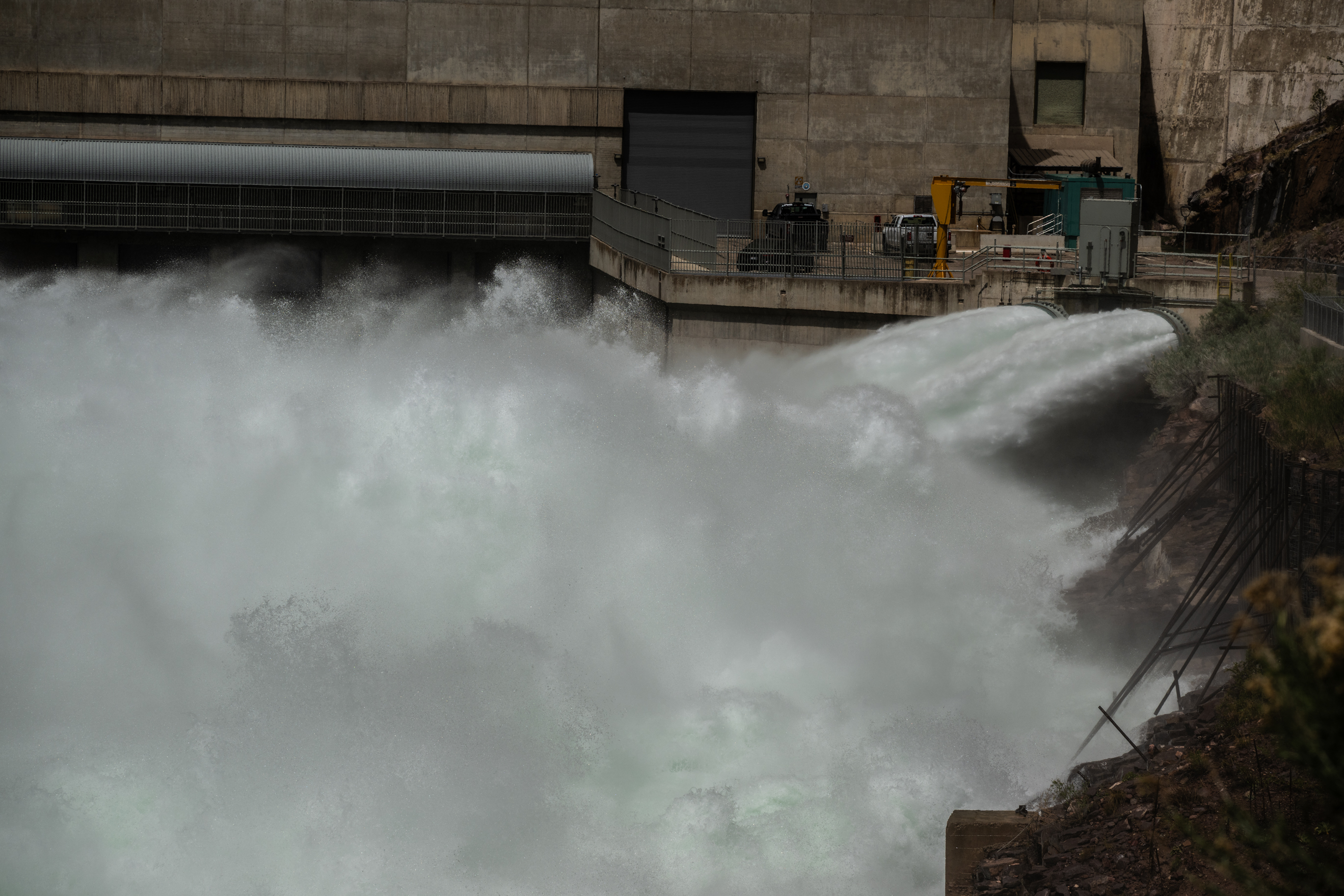
Green River — May 2026 (Spillway Full Release, 9,800 CFS)
Snake River — June 2020
Green River — Sept 2023 (Fishing, 2,000–2,200 CFS)
Green River — Labor Day 2021 (800–1,200 CFS)
Cataract Canyon — July 2024
Cataract Canyon — October 2025
- NRS Otter 140 Self-Bailing Raft 14-foot self-bailing raft built for multi-day river expeditions. The Otter 140 is the workhorse of private permit trips on the Colorado Plateau — big enough for a full gear load, nimble enough for technical water. NRS Direct
- NRS Stern Frame Standard stern frame for oar-powered rafts. Mounts behind the rower for gear platform rigging on multi-day river trips. NRS Direct
- Cataract Oars SGG 11ft 11-foot composite oars for big water rafting. The SGG blade shape delivers power in heavy hydraulics without excess weight. Cataract Oars Direct
- Partner Steel 2-Burner Stove Heavy-duty 2-burner propane stove designed for river trip kitchens. Wind-resistant burners and a removable drip tray built for camp cooking at scale. Partner Steel Direct
- Canyon Coolers Outfitter 75 75-quart rotomolded cooler sized for raft bays. Built in Arizona for desert river conditions — keeps ice 5+ days in canyon heat. Canyon Coolers Direct
- Big Water Raft System Complete oar rig for Class III-V multi-day river expeditions. Raft, frame, oars, and rigging configured for big water on the Colorado Plateau.
- River Kitchen System Camp kitchen setup for multi-day river trips. Stove, cooler, and dry storage configured to feed a crew from the back of a gear raft.
- Tex's Riverways Shuttle service for Green River and Colorado River trips in eastern Utah. Covers Desolation Canyon, Labyrinth Canyon, Stillwater, and Cataract Canyon put-ins and take-outs. Tex's Riverways
Join the Expedition Briefing
Route drops, river notes, gear systems, and field reports—sent like a briefing, not a newsletter.