(USGS)
6,790 CFS
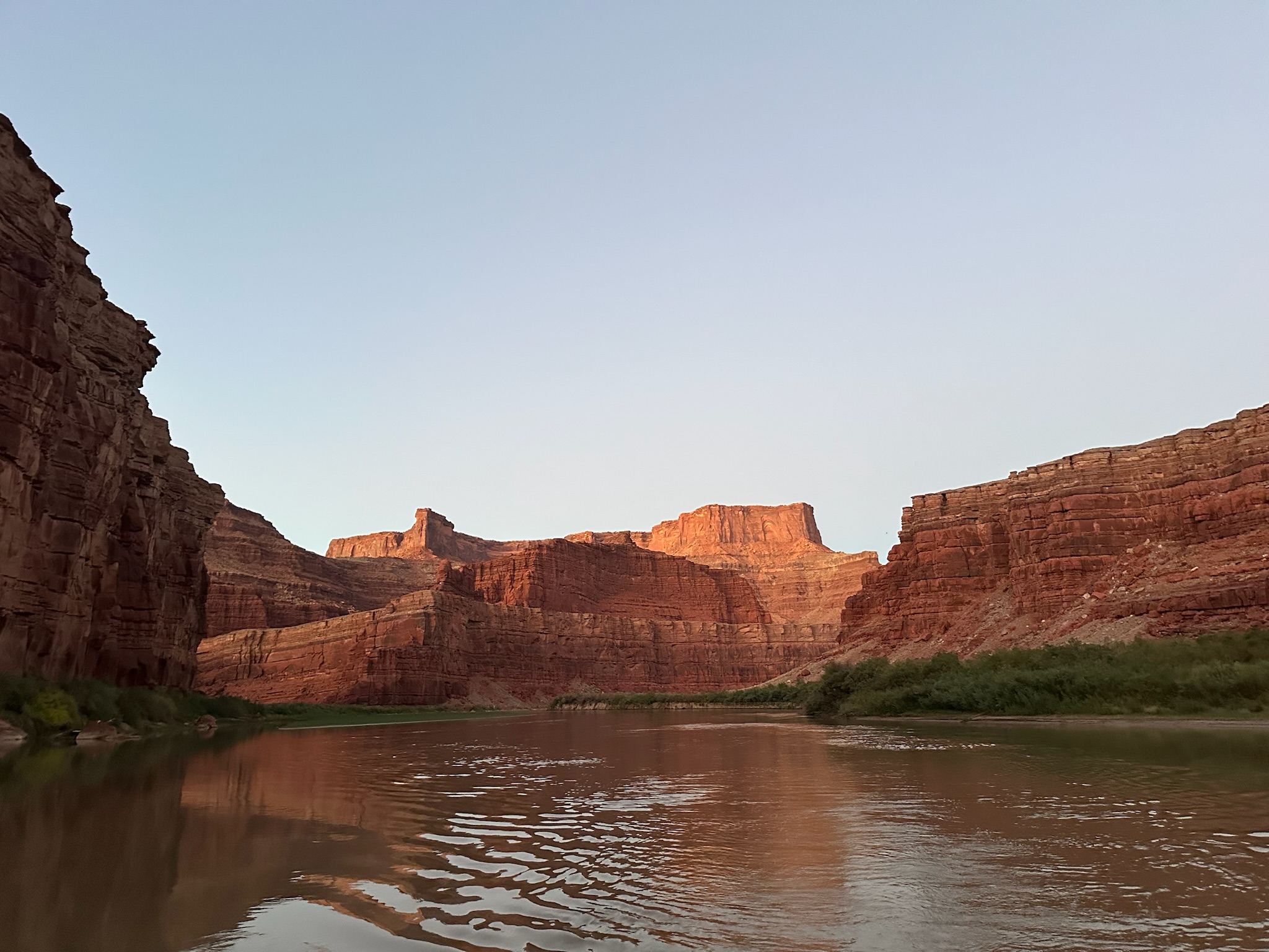
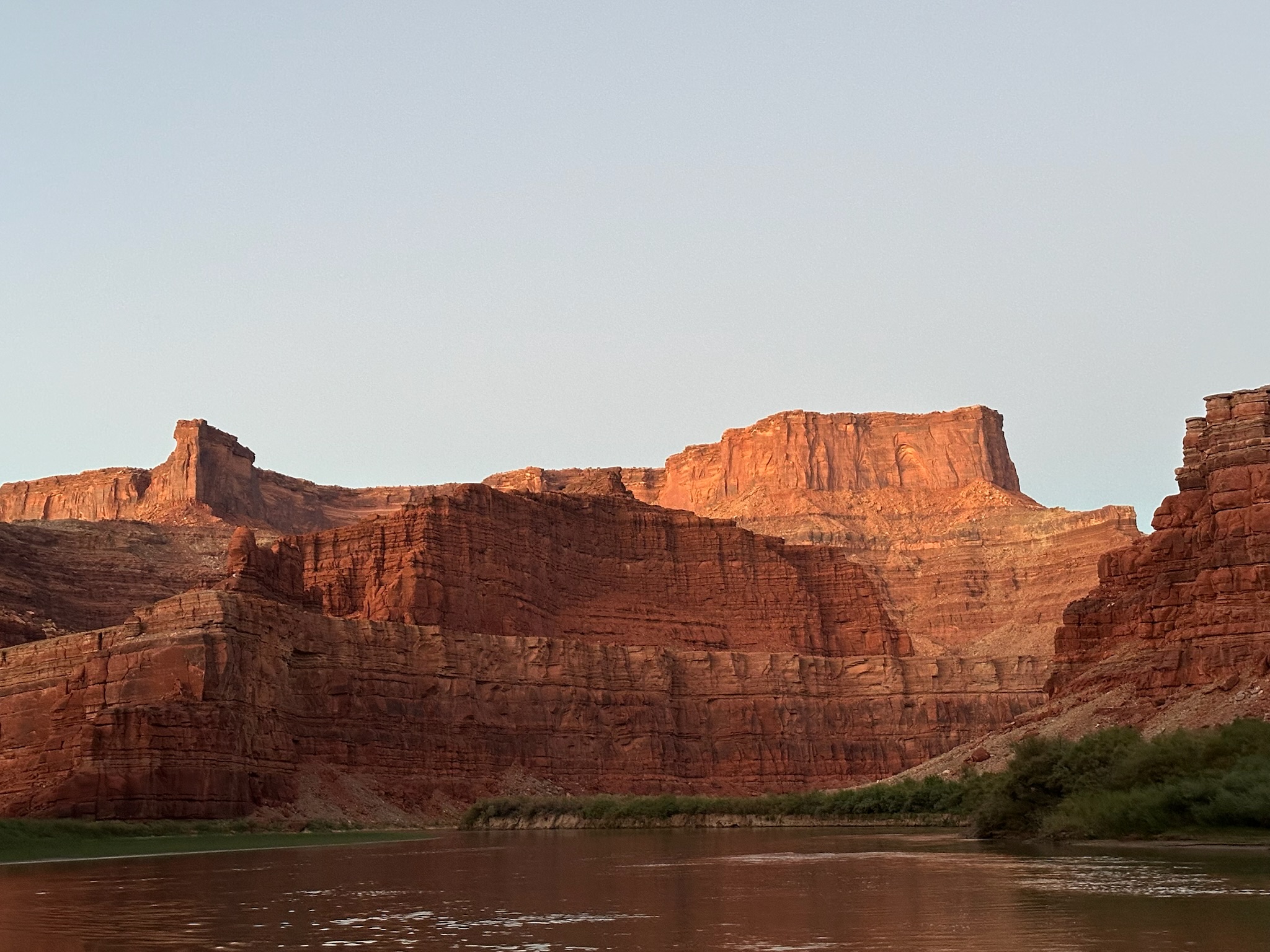
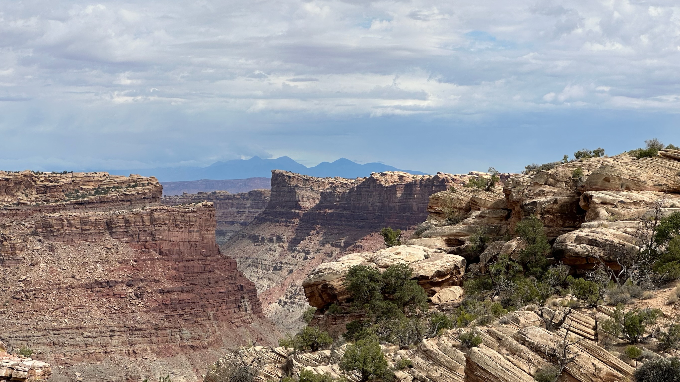
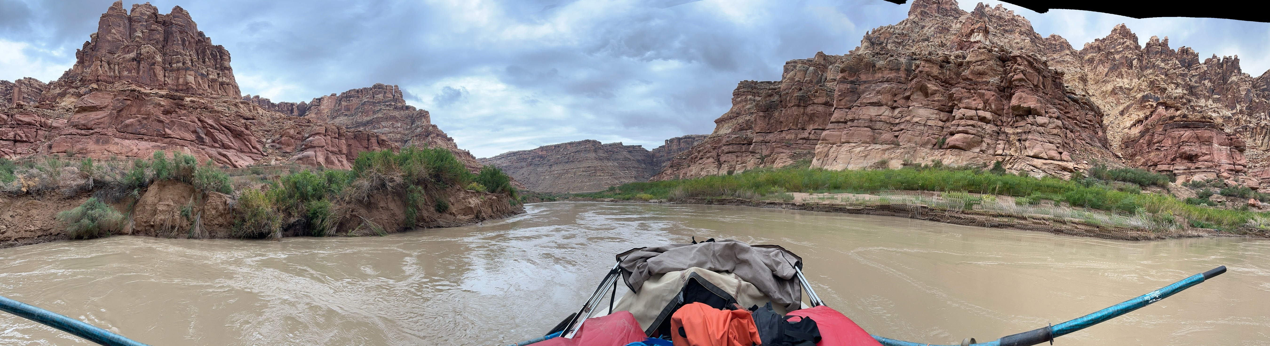
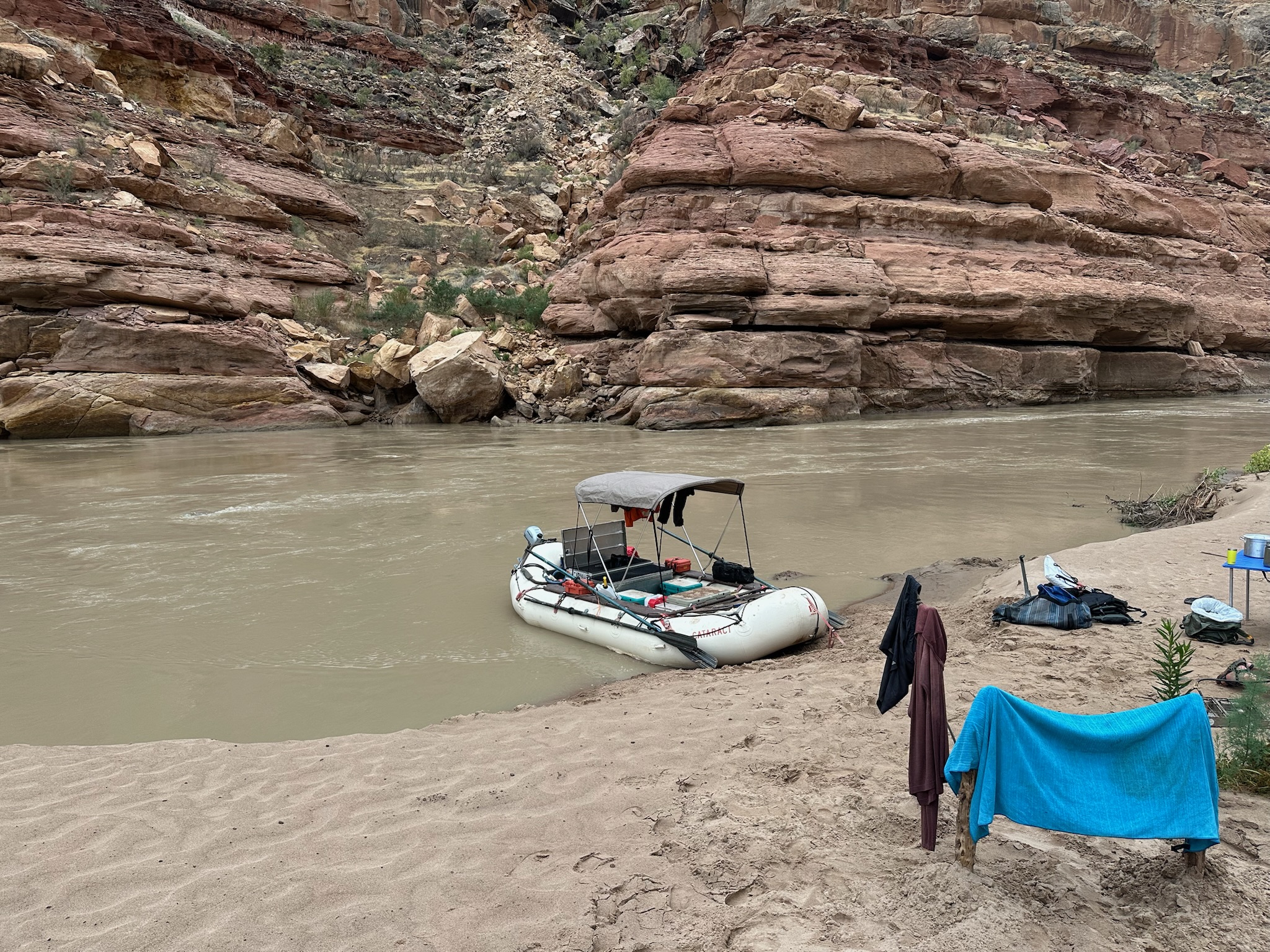
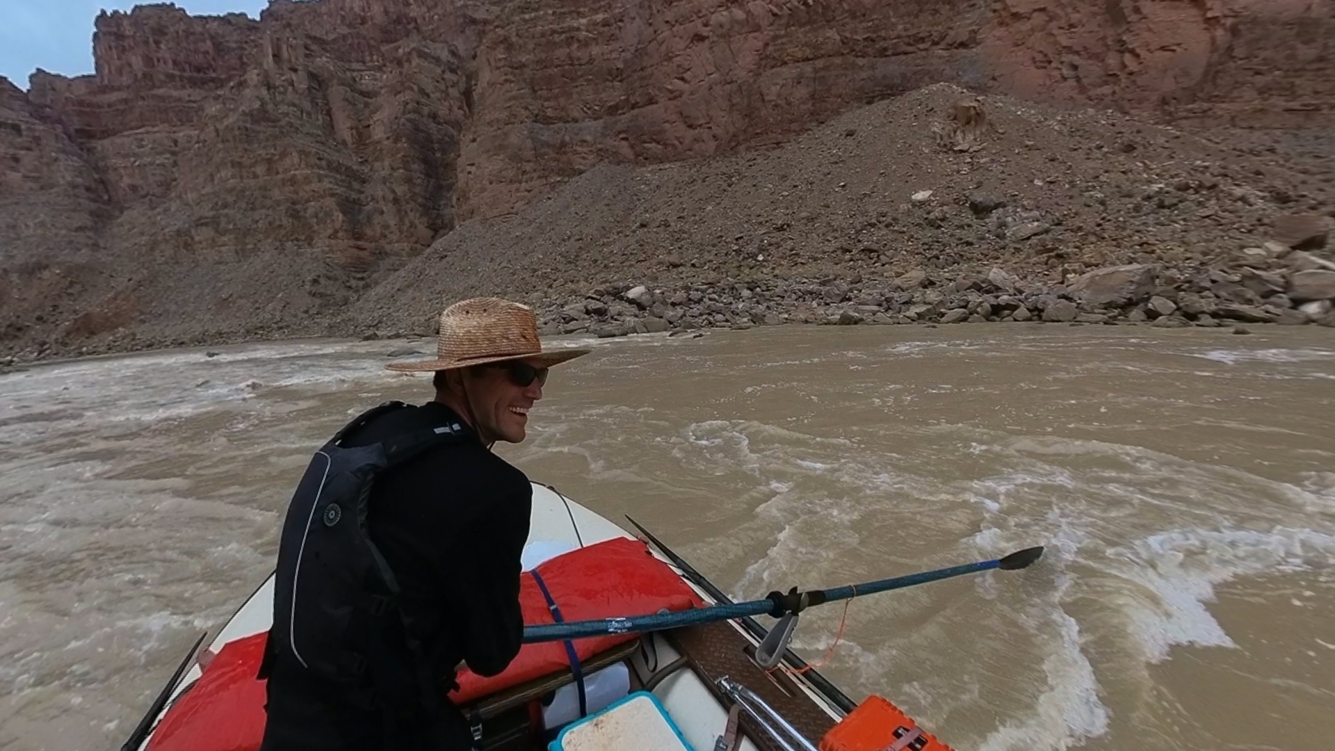
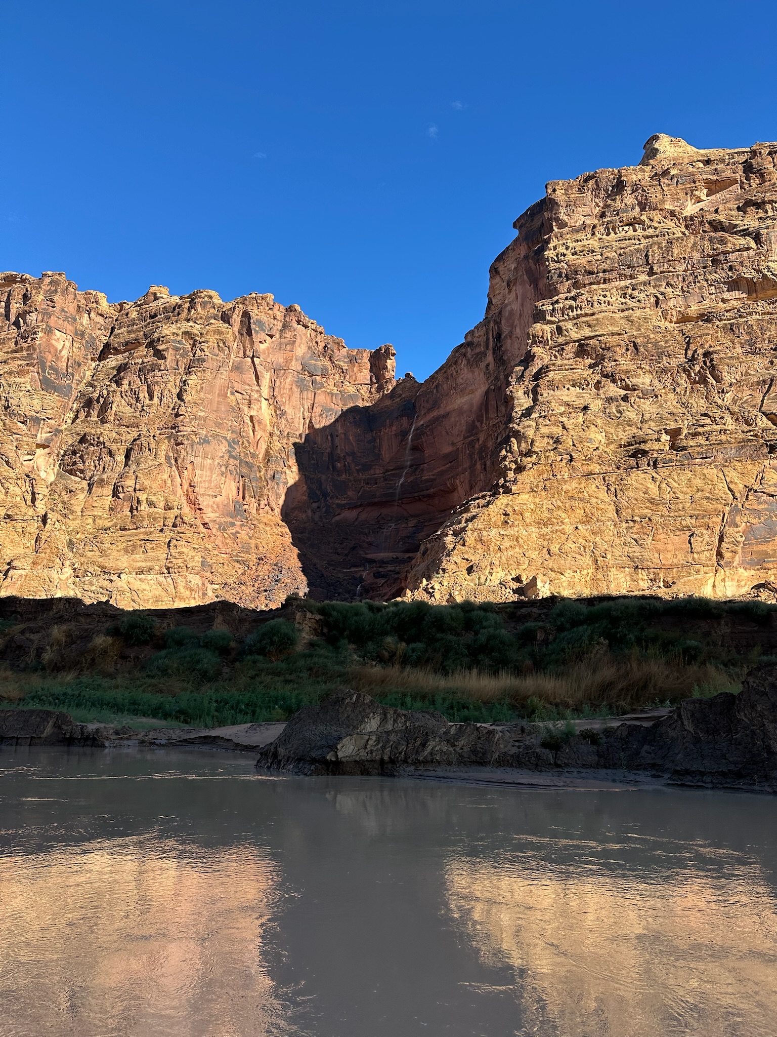
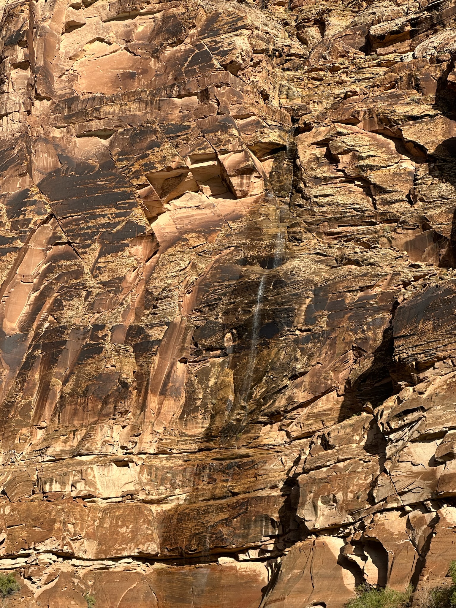
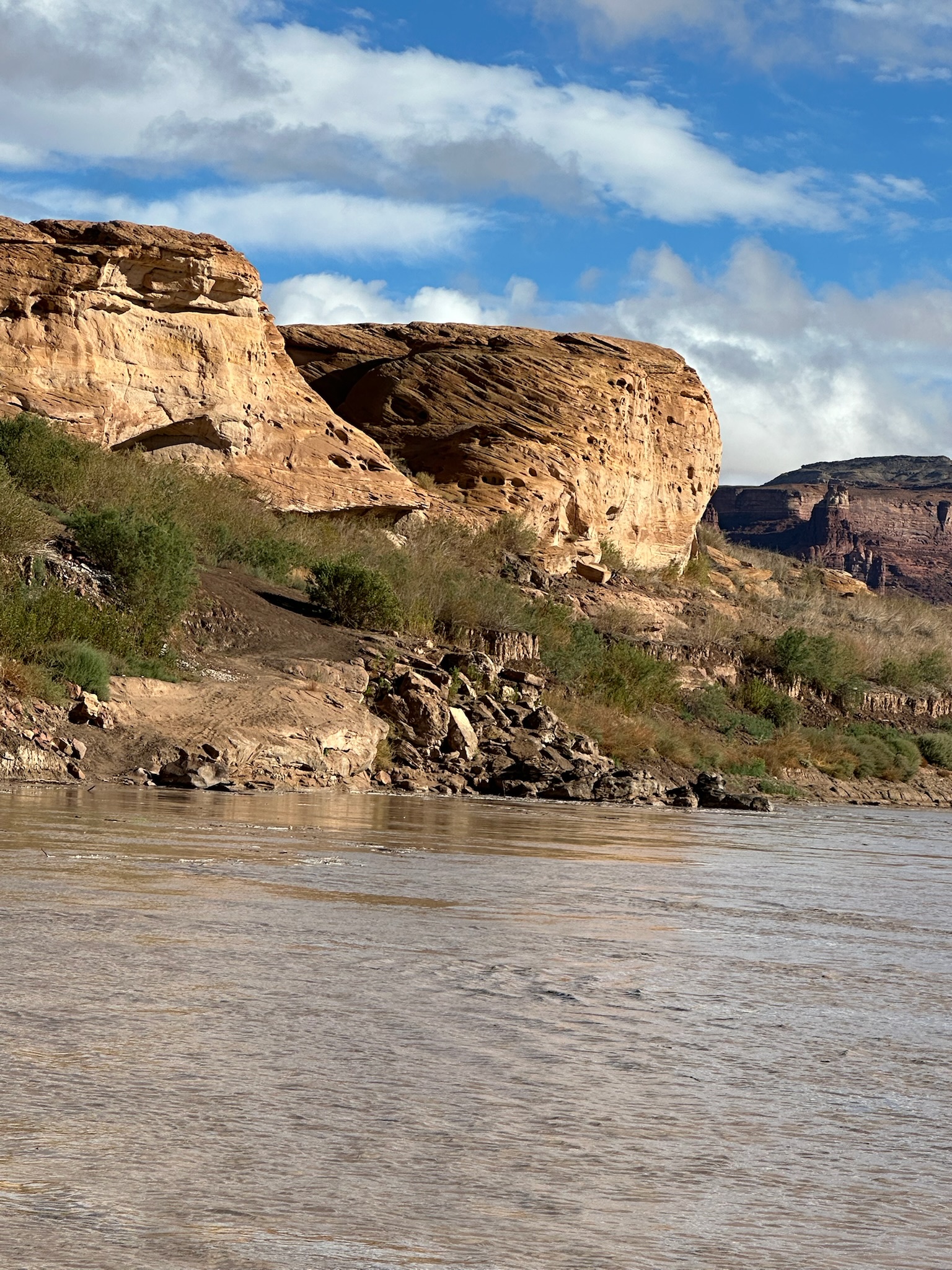
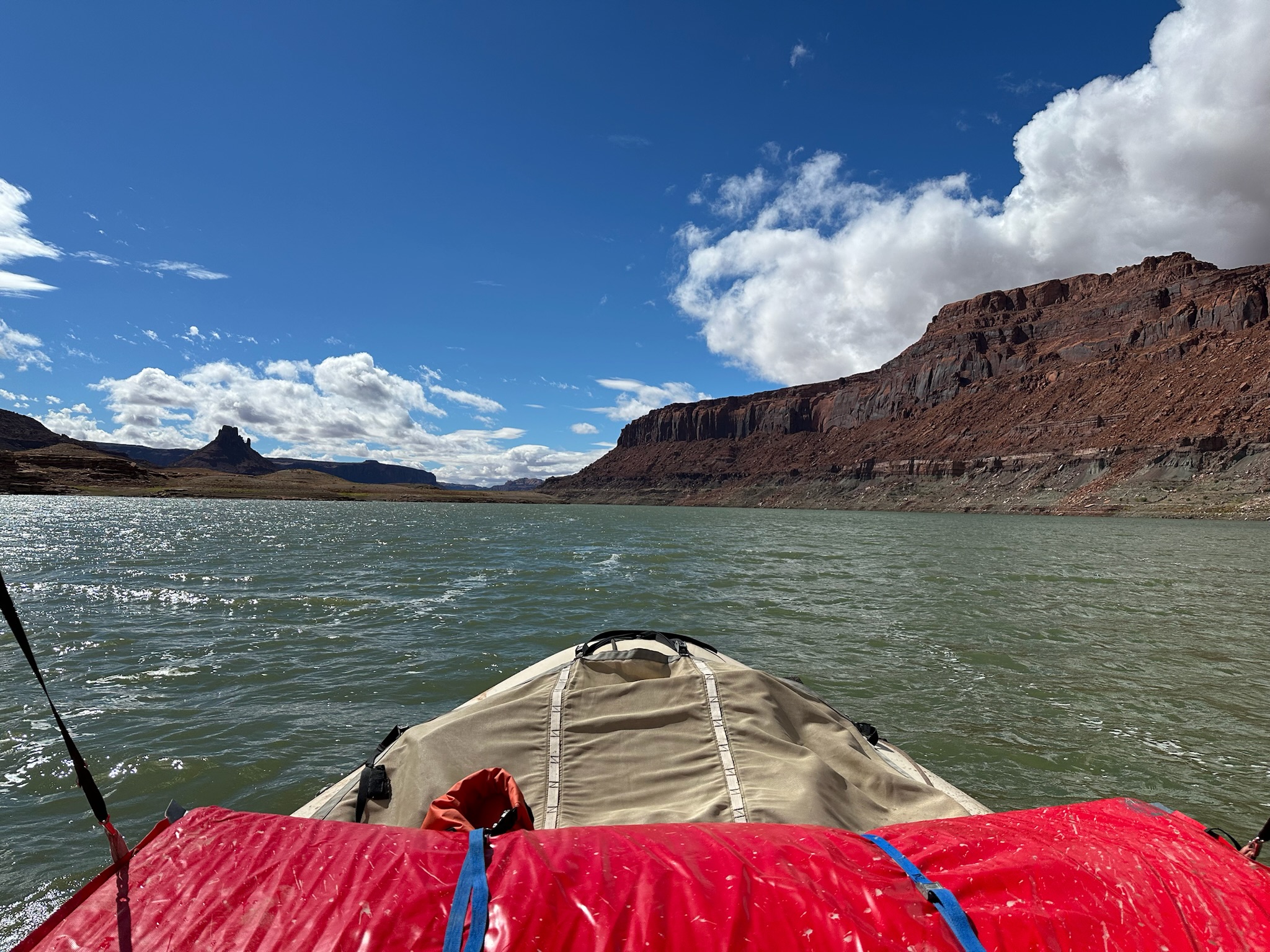
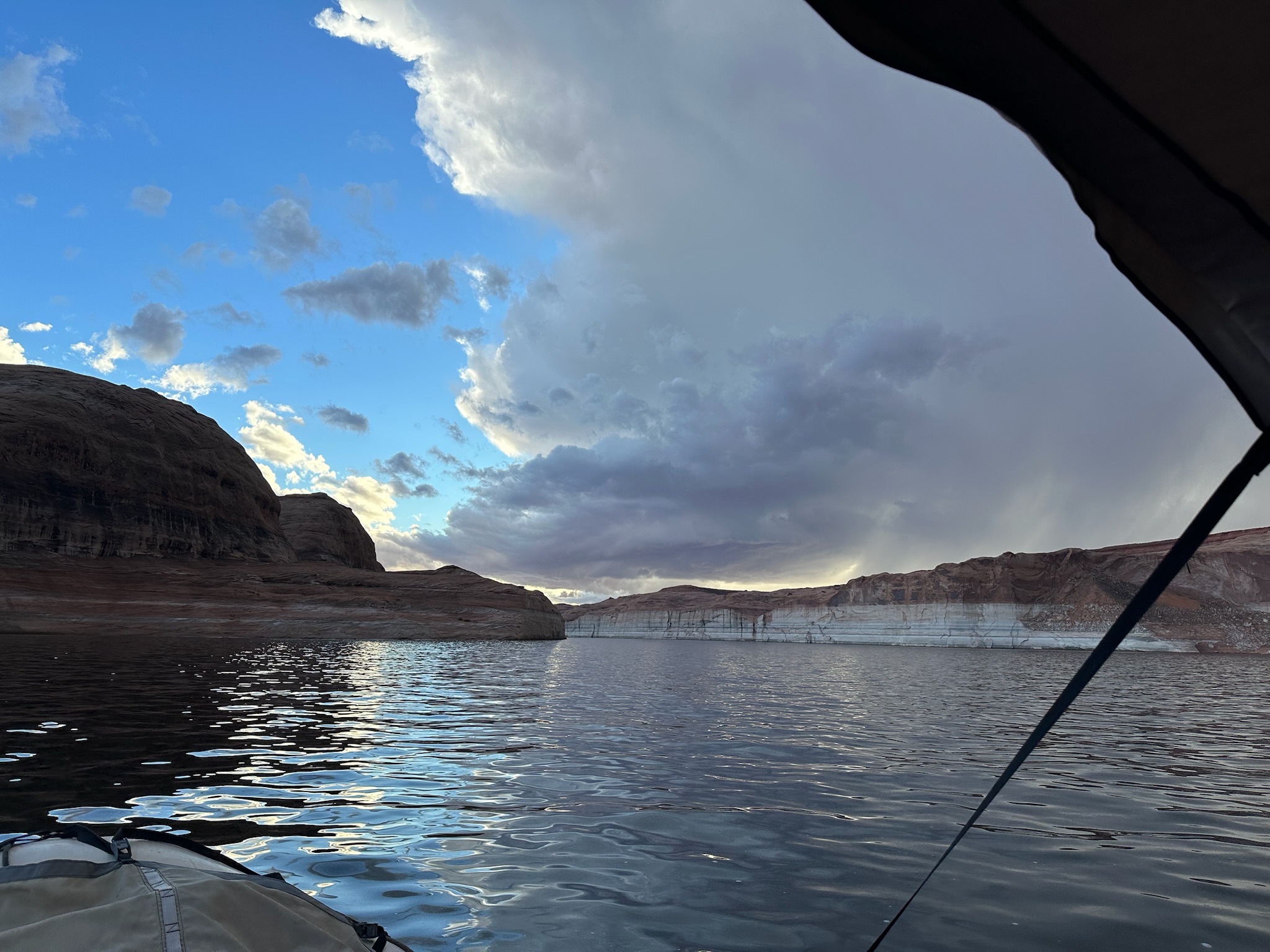
Day 1
4,290 cfs (USGS daily mean), water 62°F
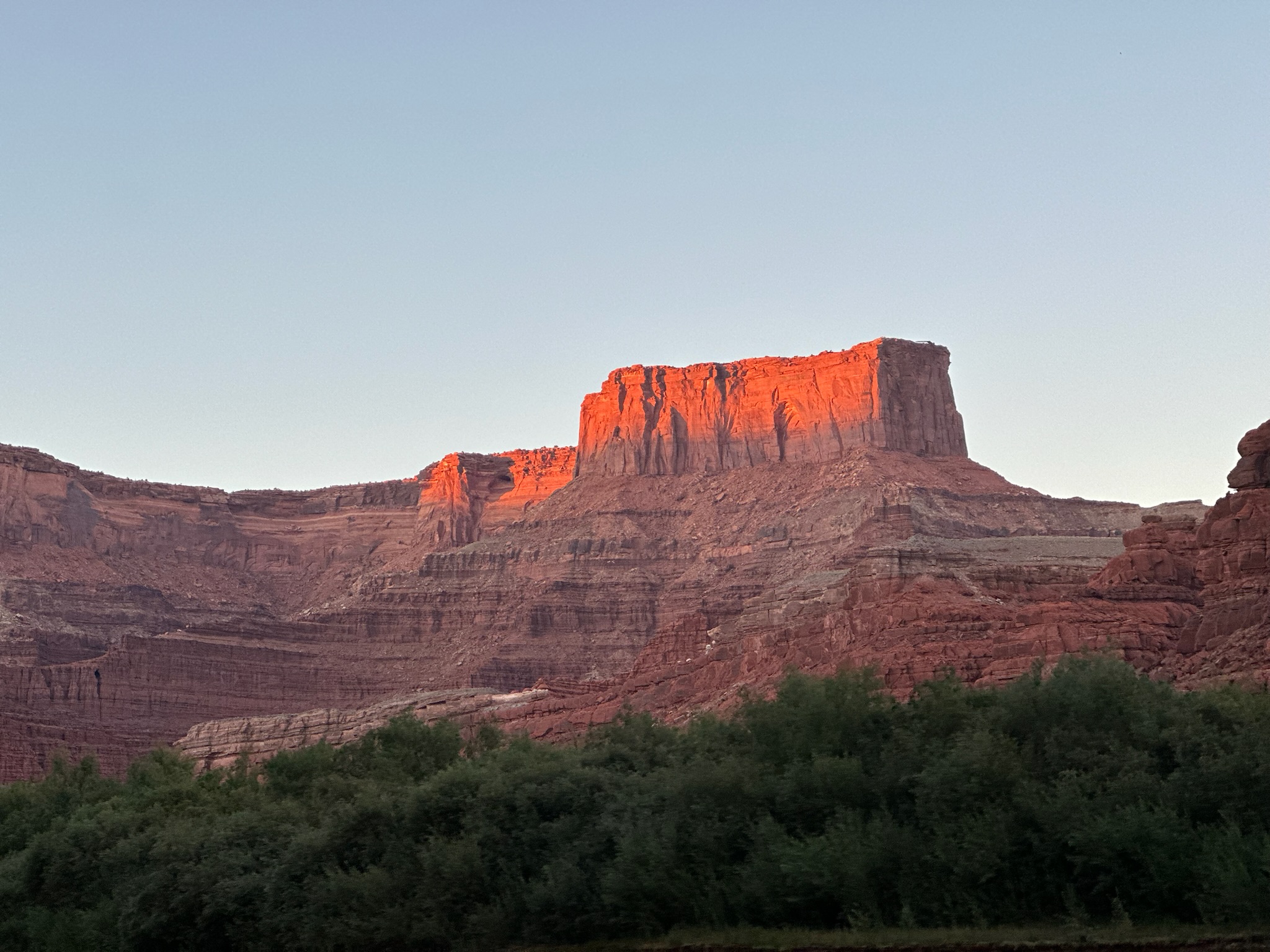
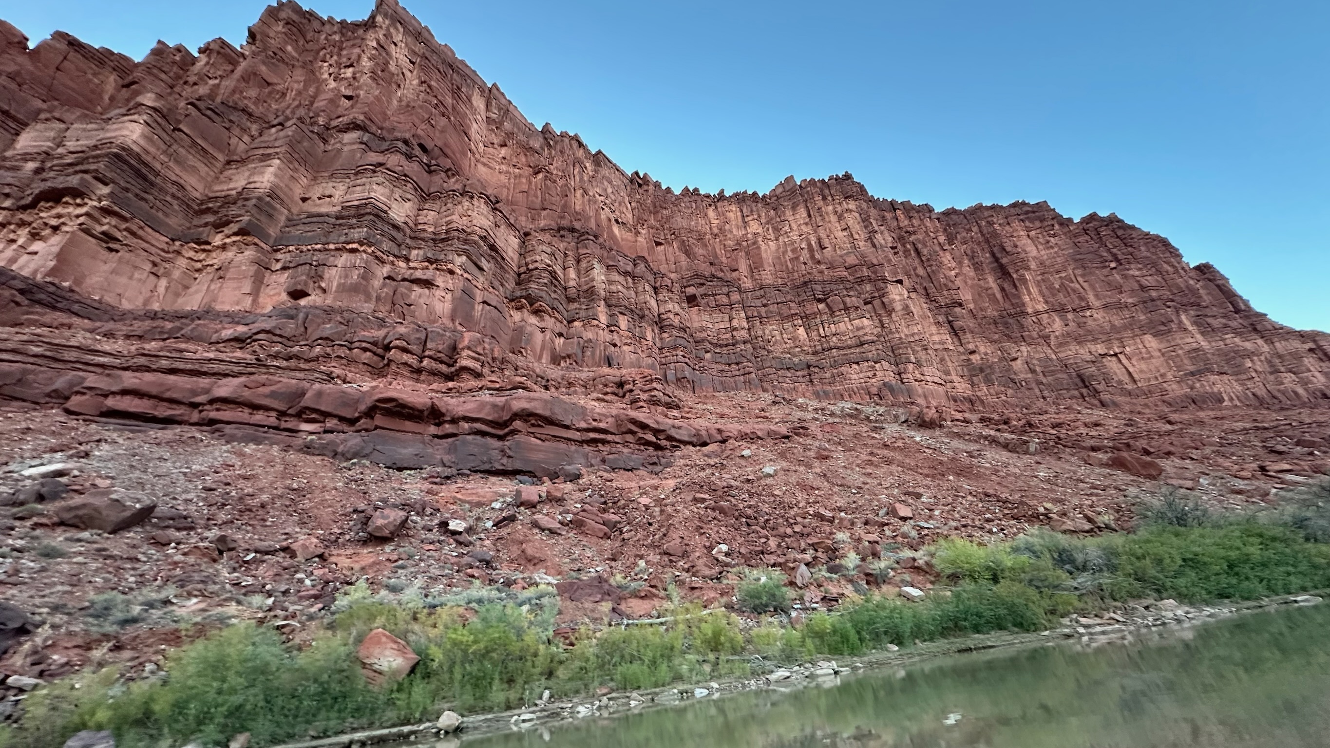
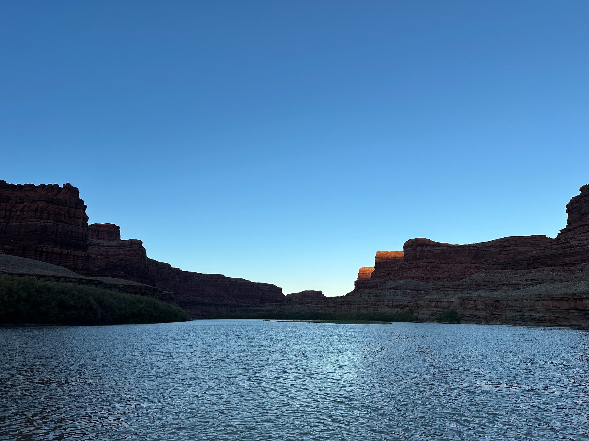

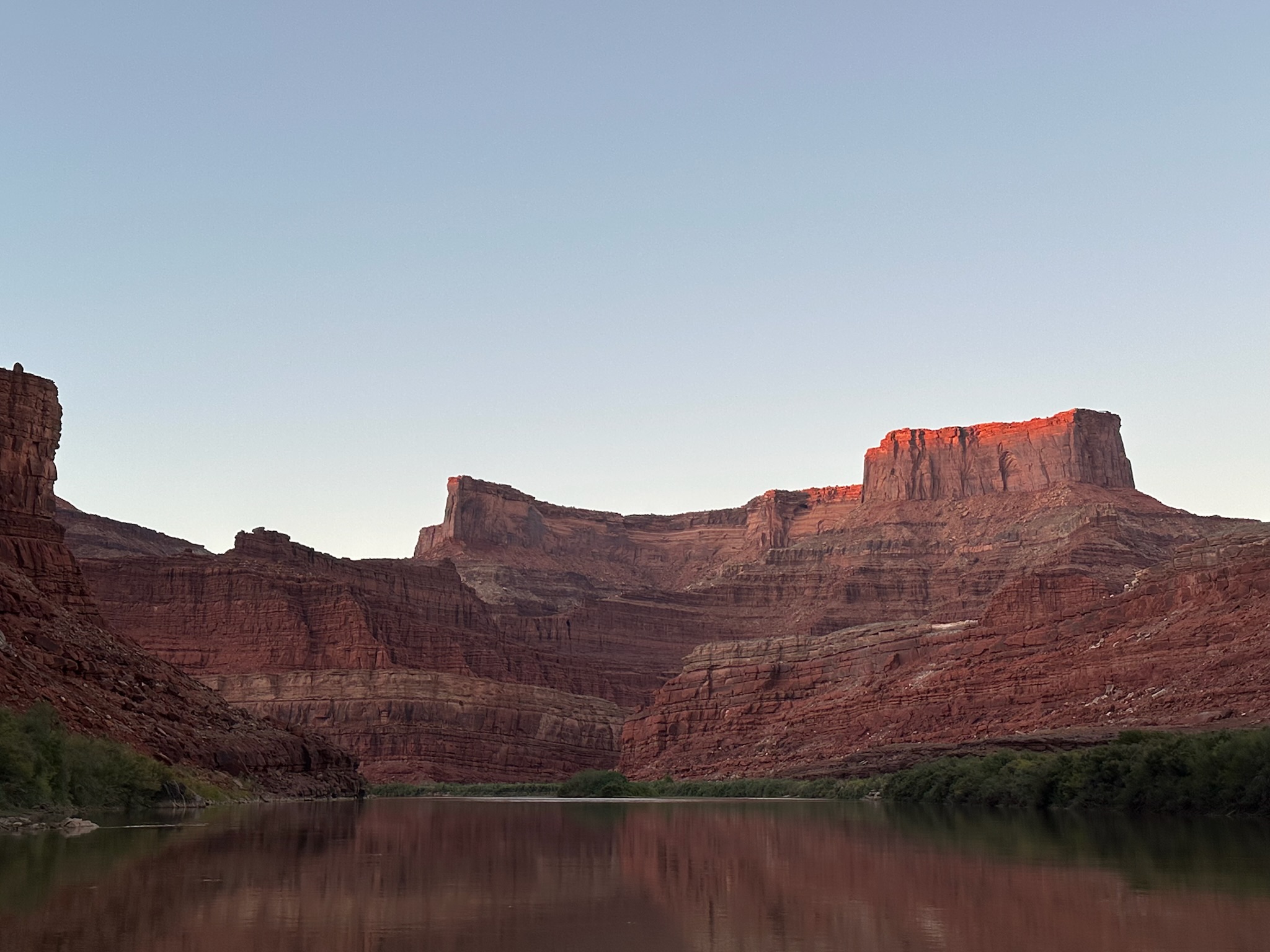


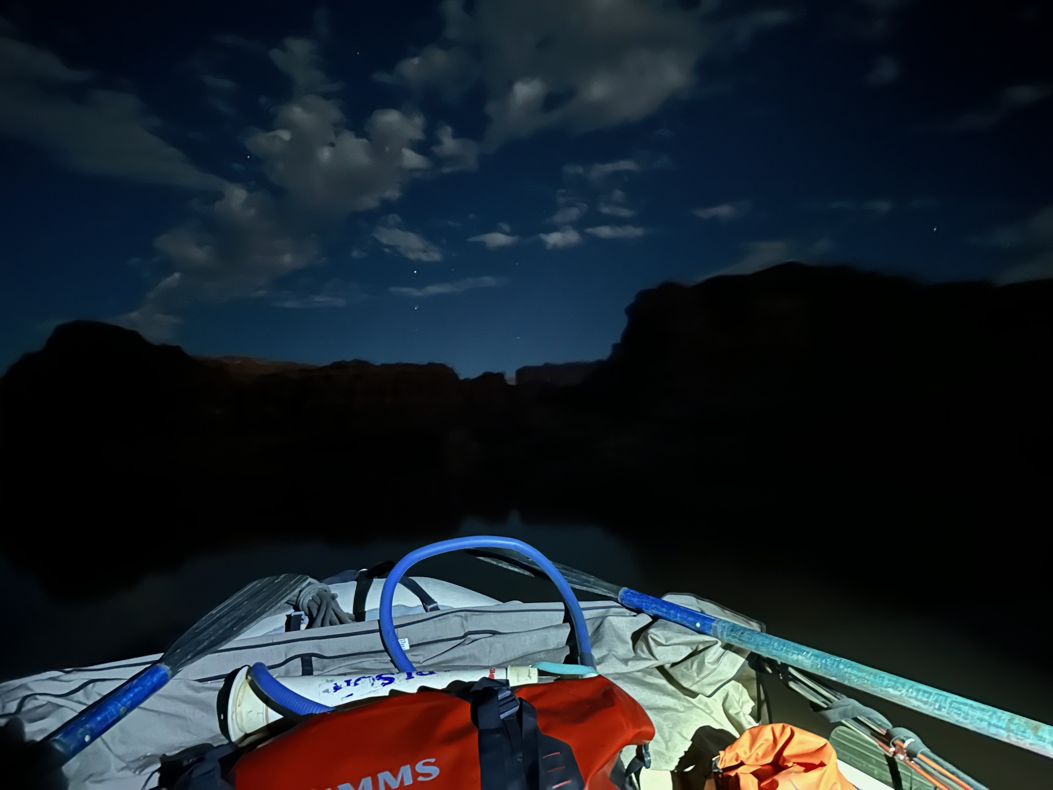
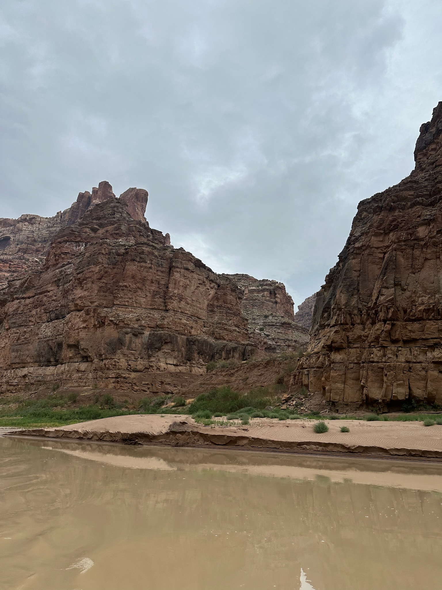
Day 1
IMG_0213
IMG_0218
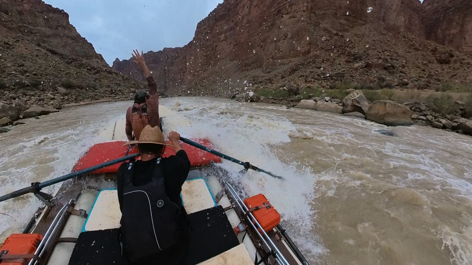
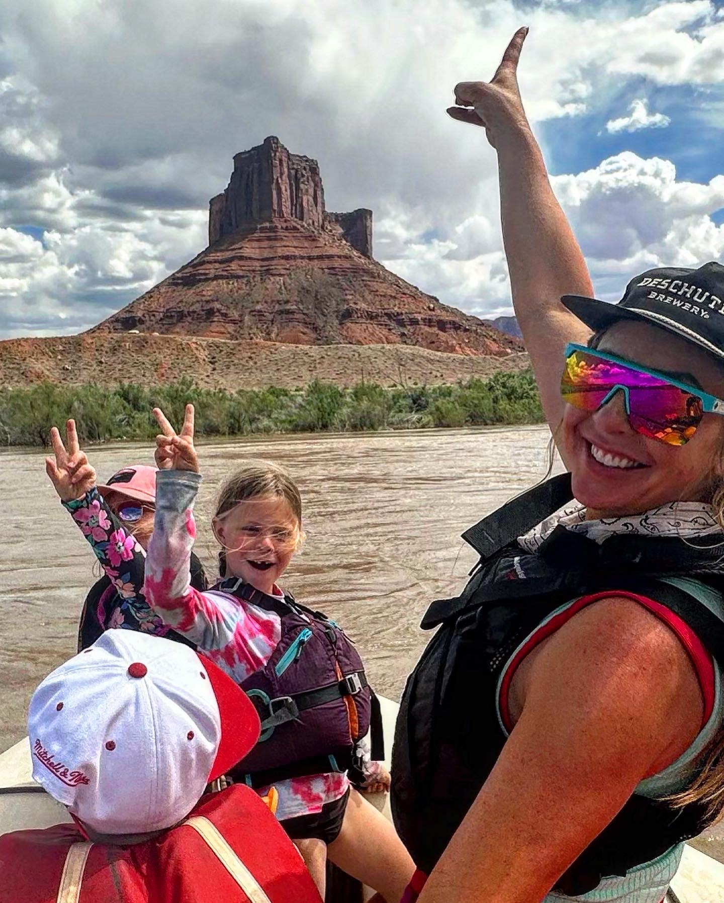
IMG_2256
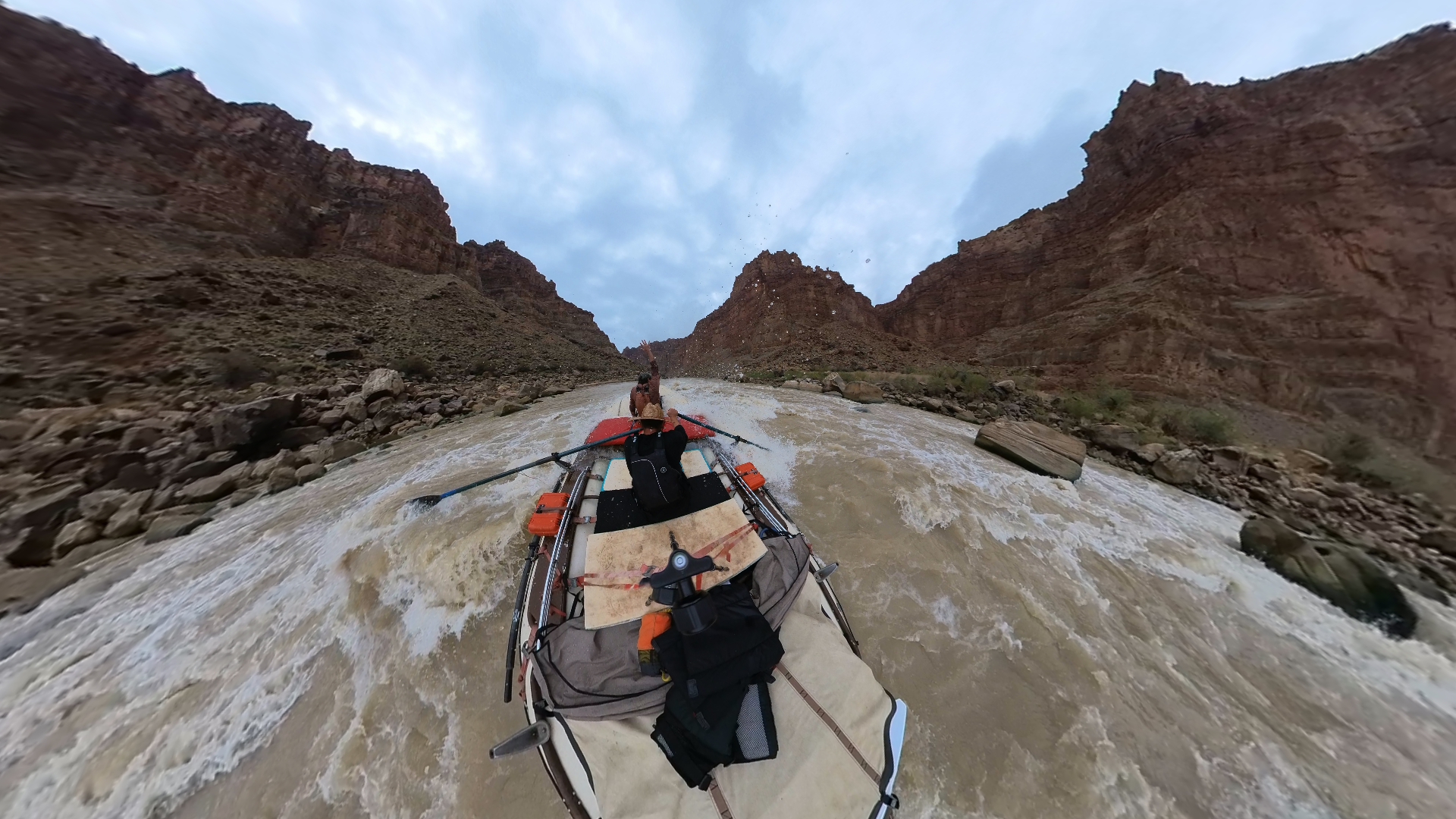
IMG_2258
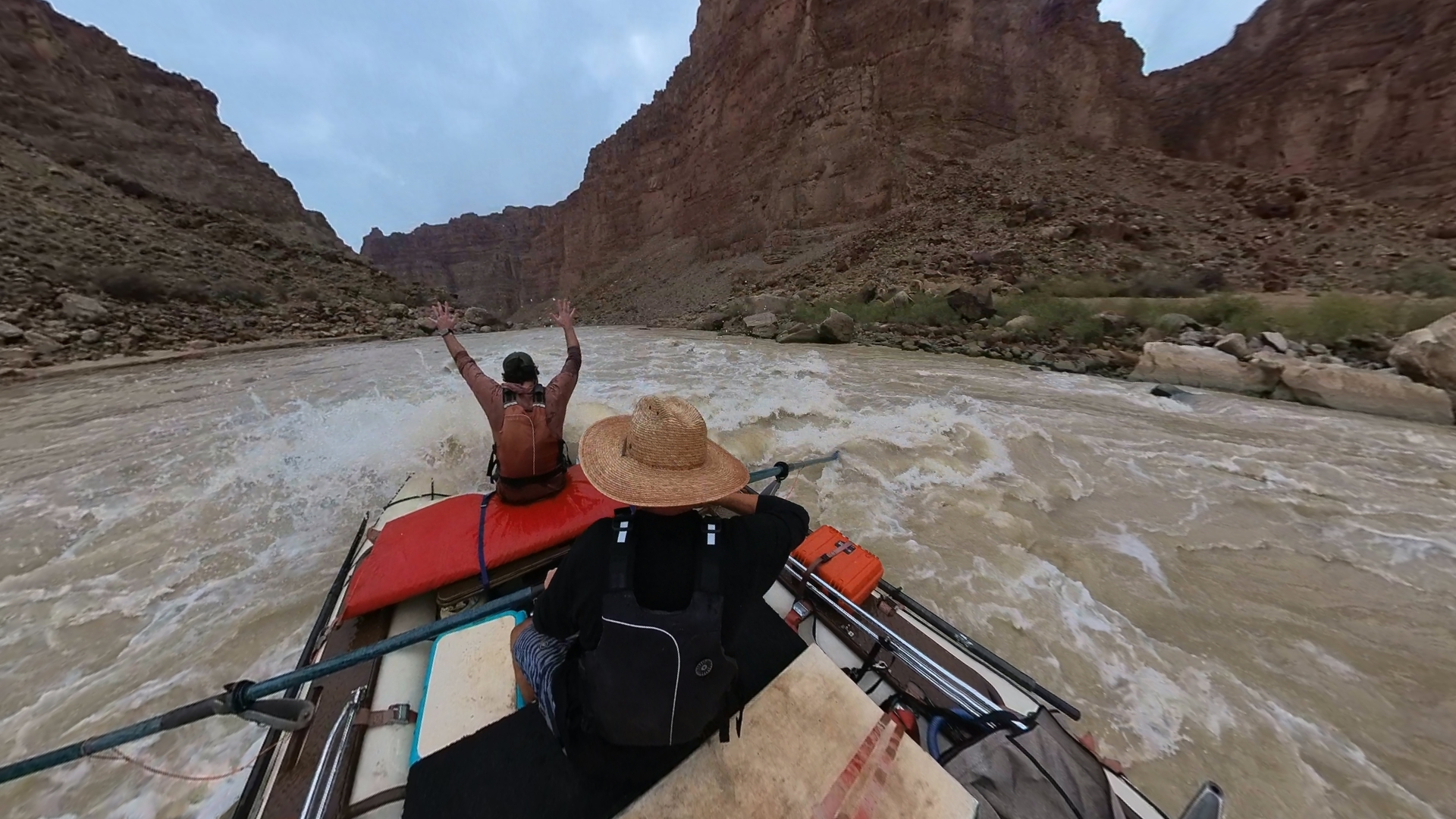
IMG_2260
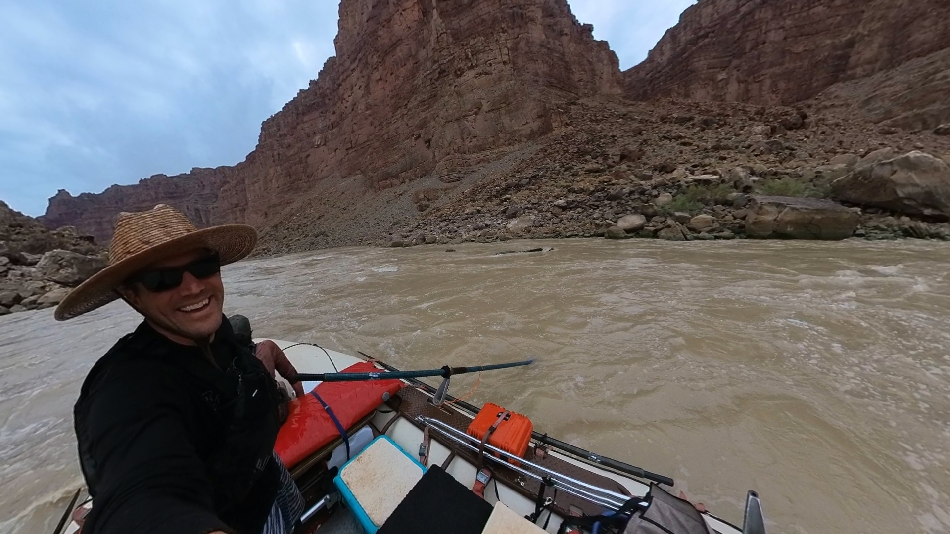
IMG_2263
IMG_2264
IMG_2267
IMG_2268
IMG_2269
IMG_2271
IMG_2274
IMG_2275
IMG_2279
IMG_2283
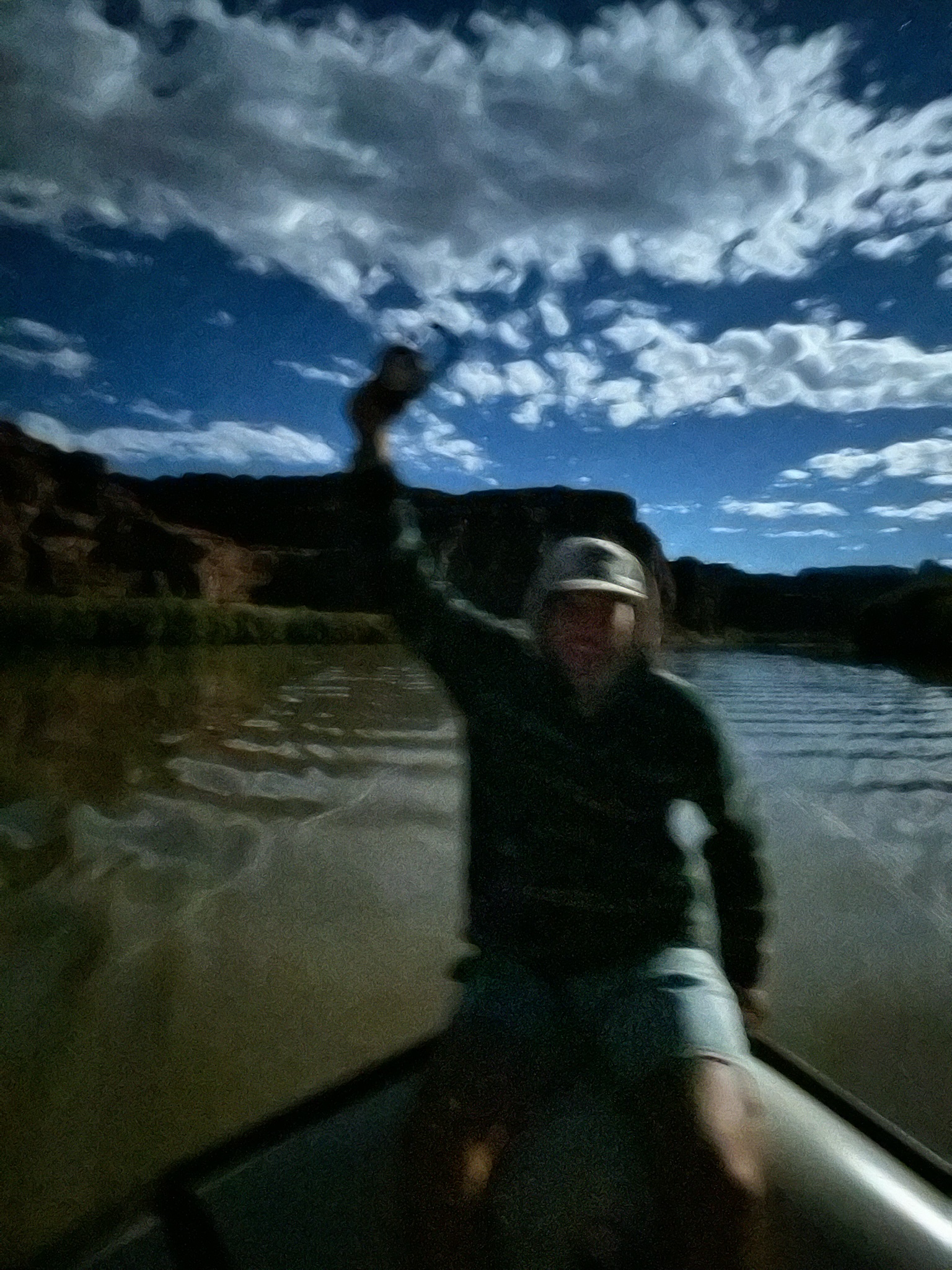
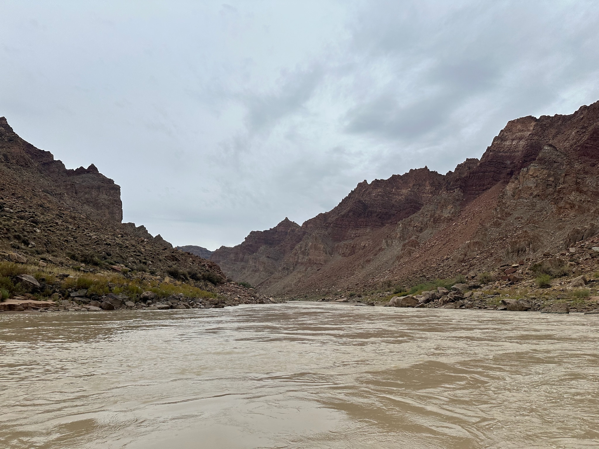
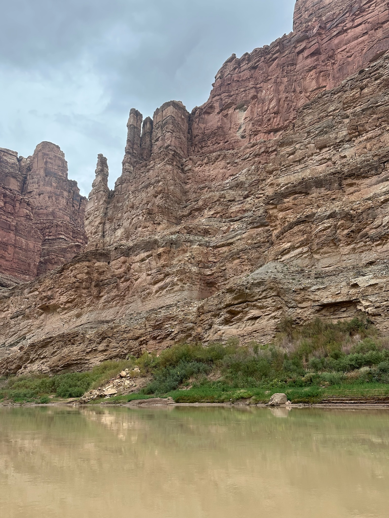
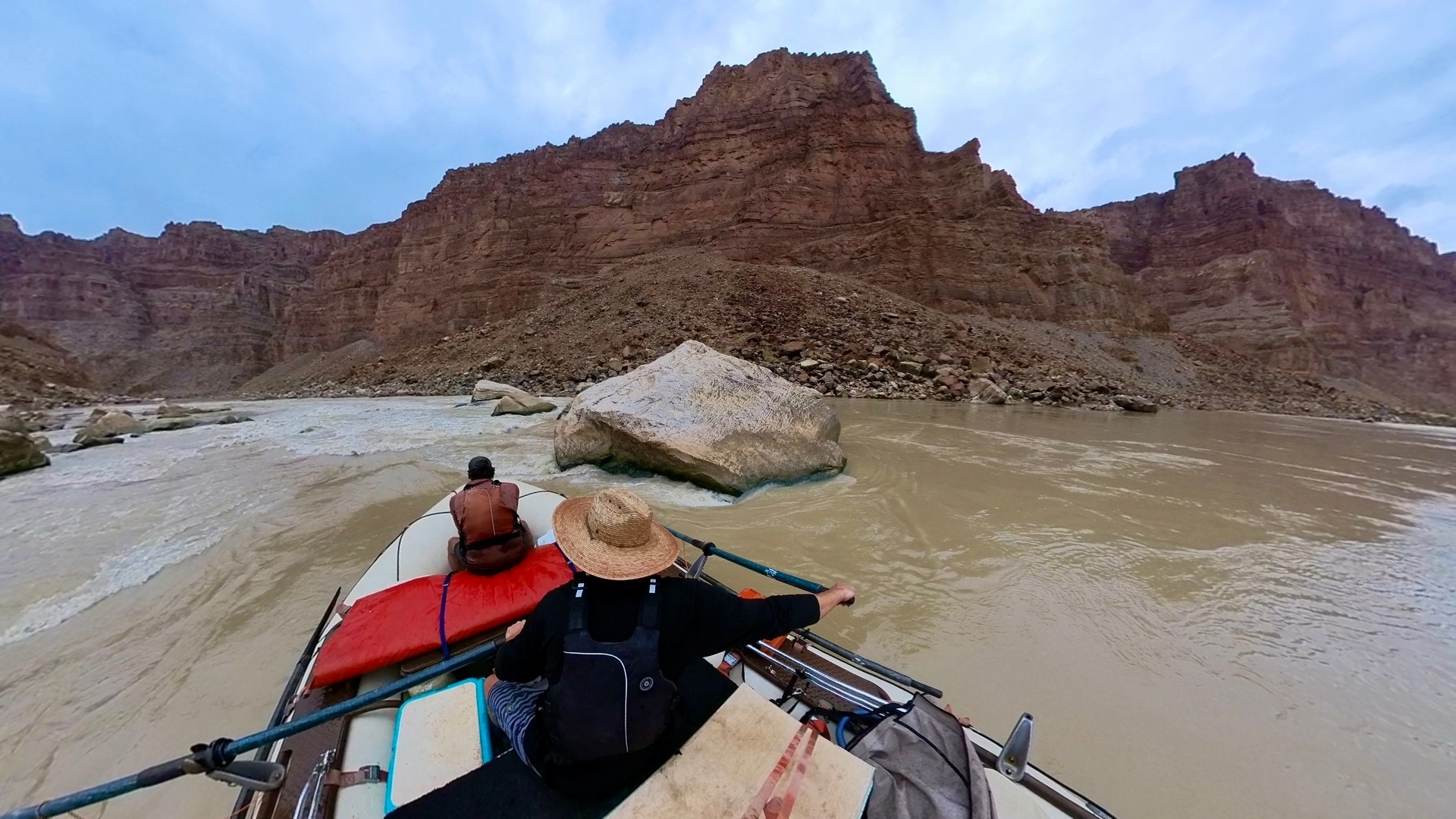
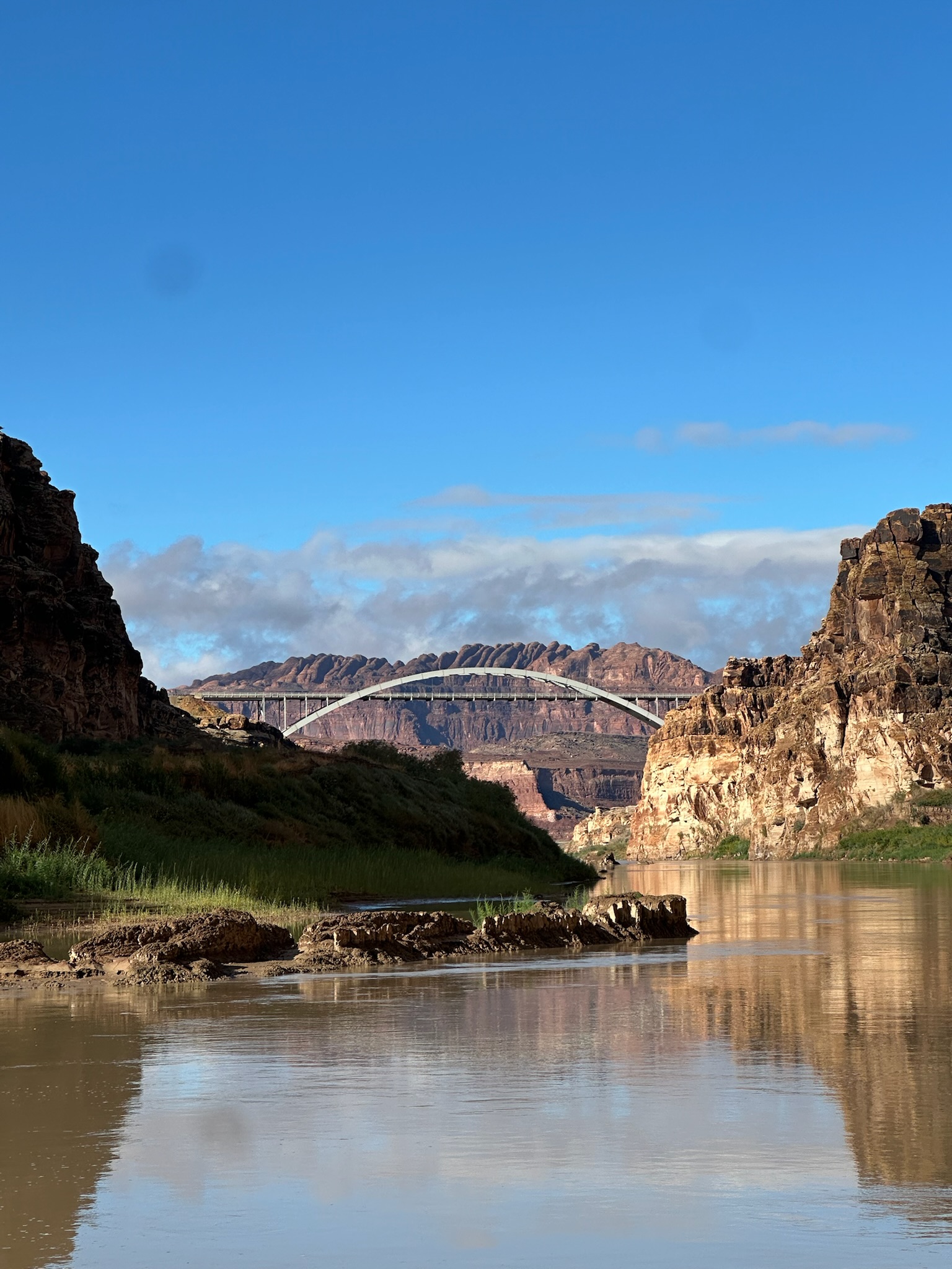
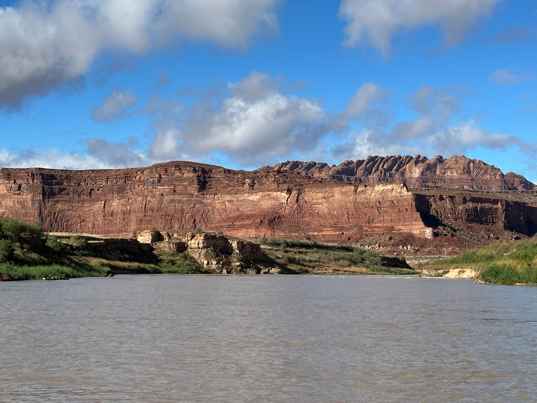
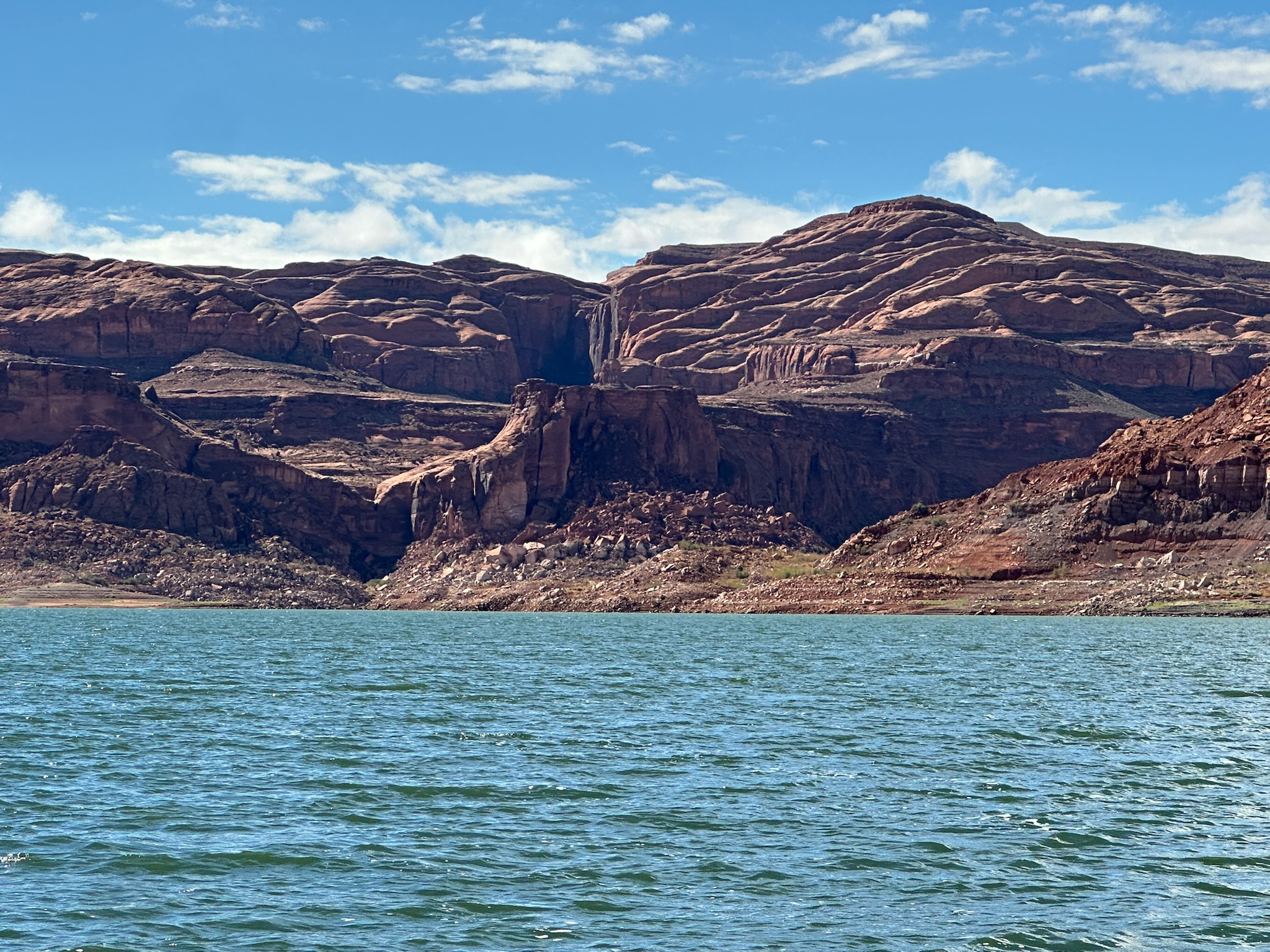
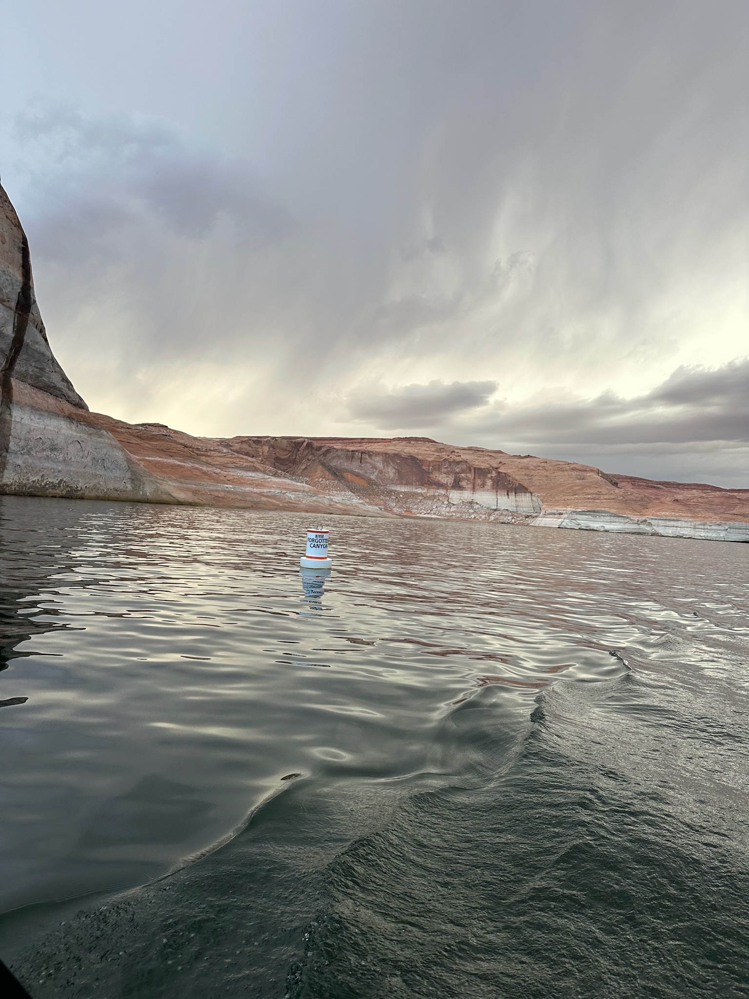
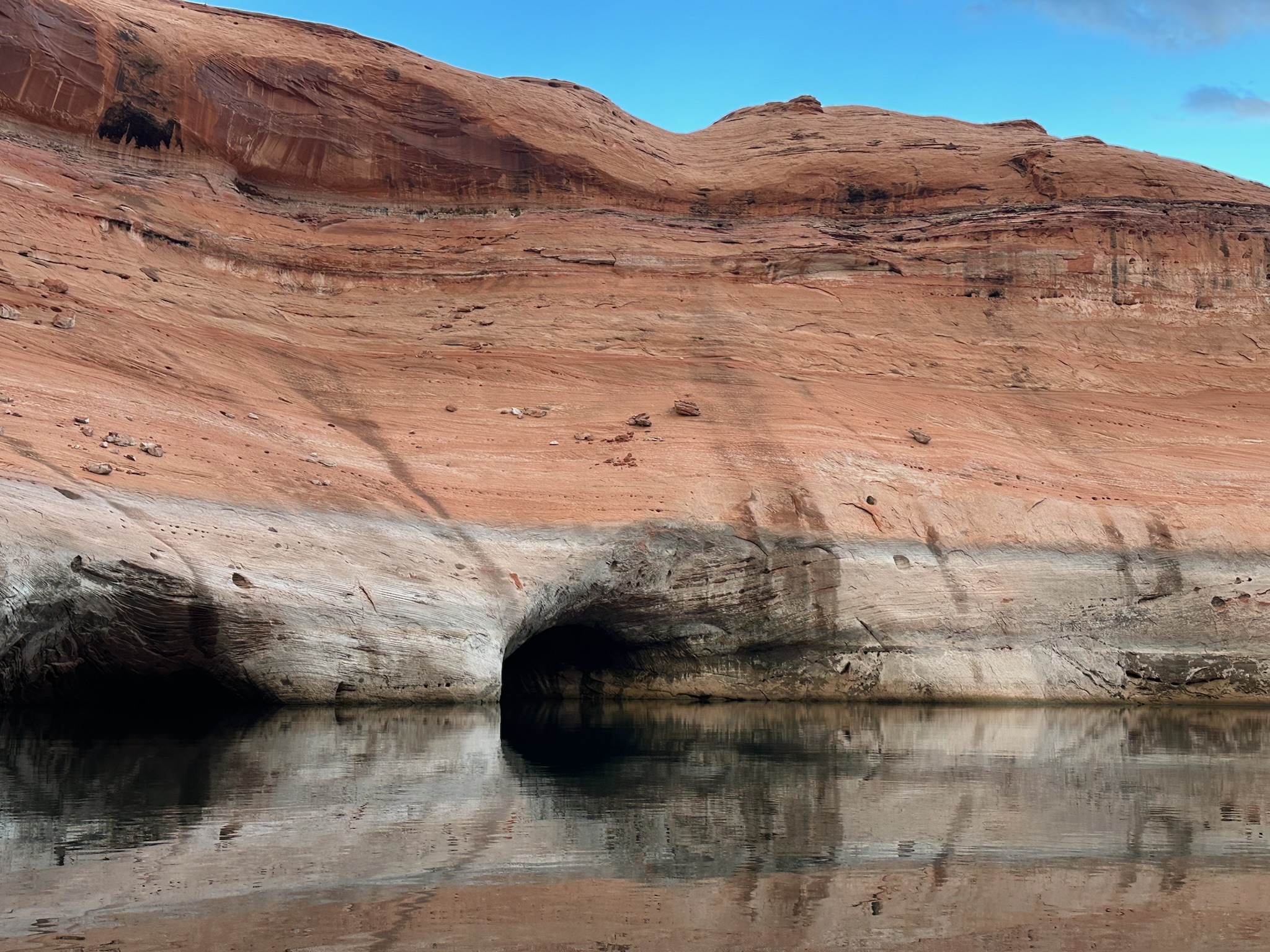
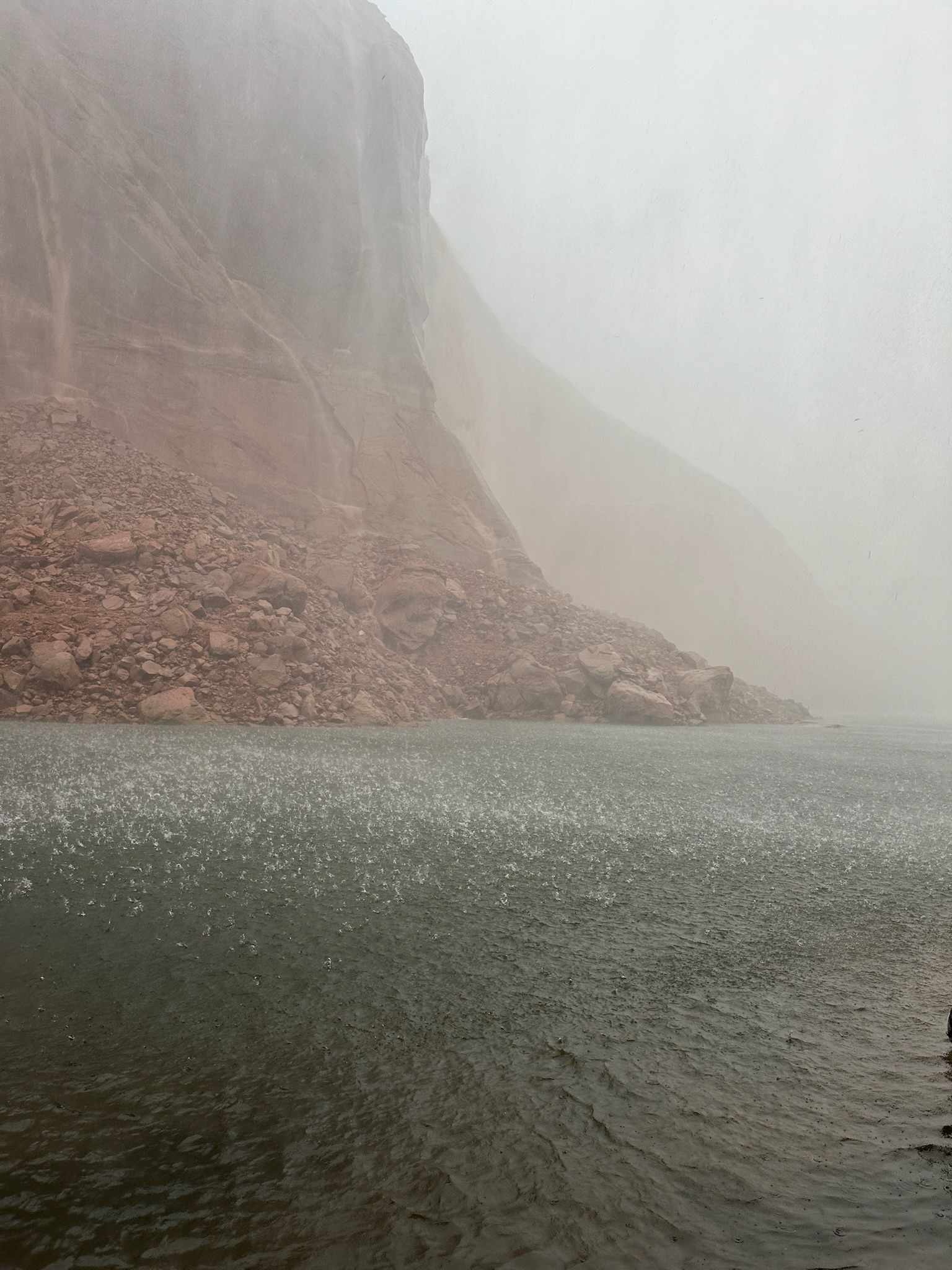
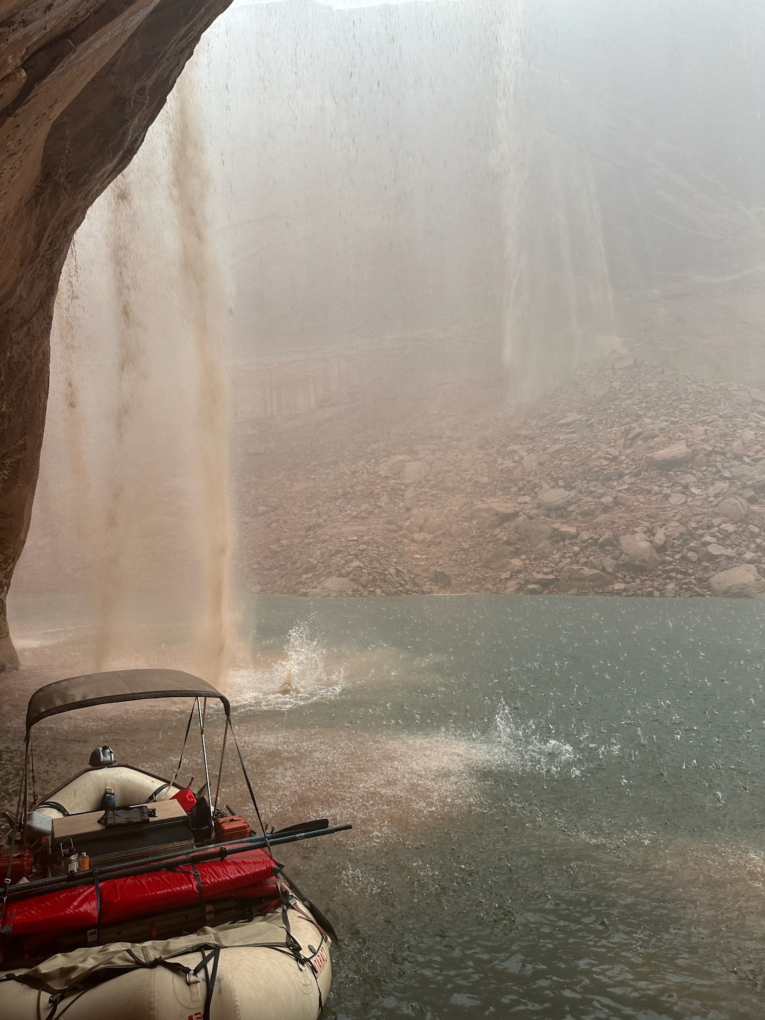
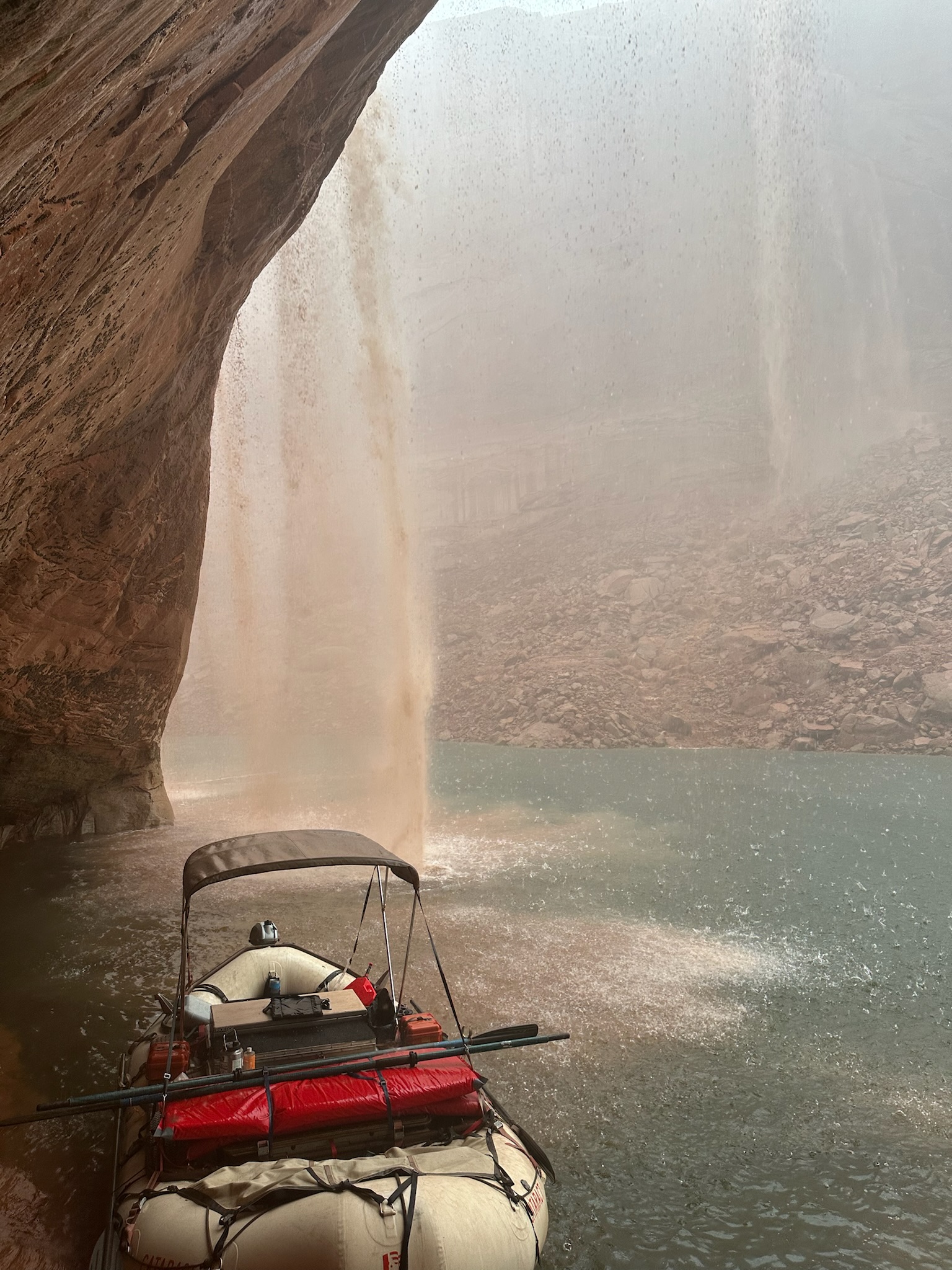
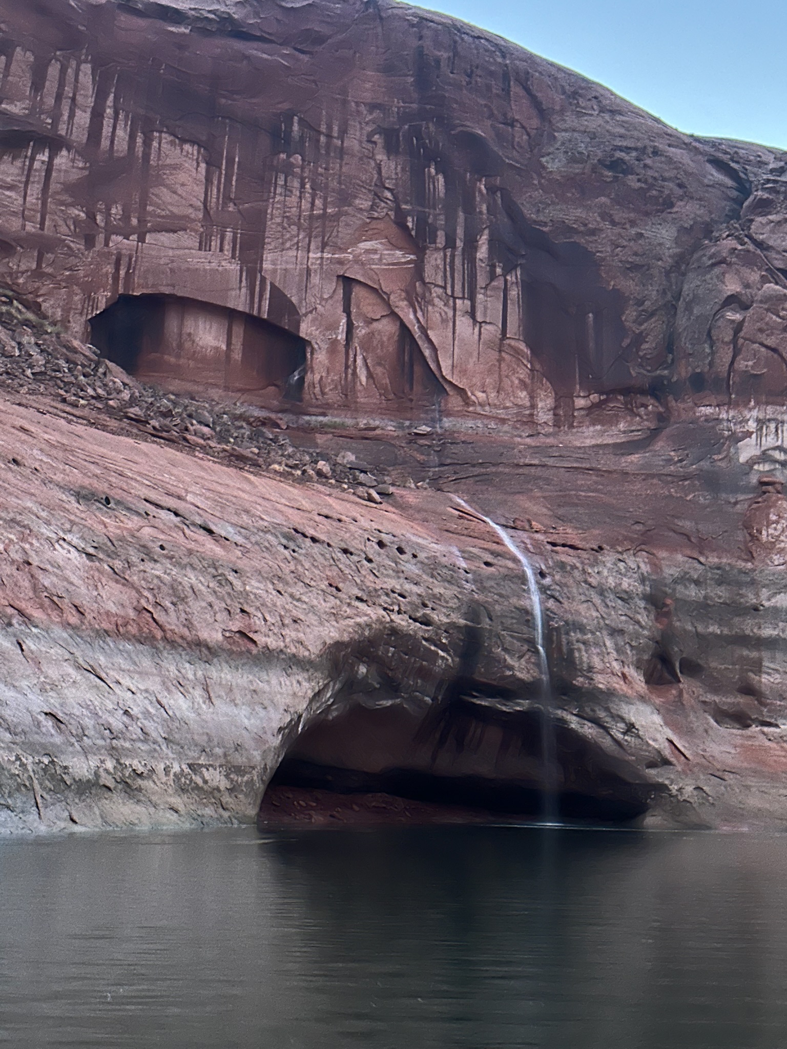
Day 2
4,170 cfs (USGS daily mean), water 61°F

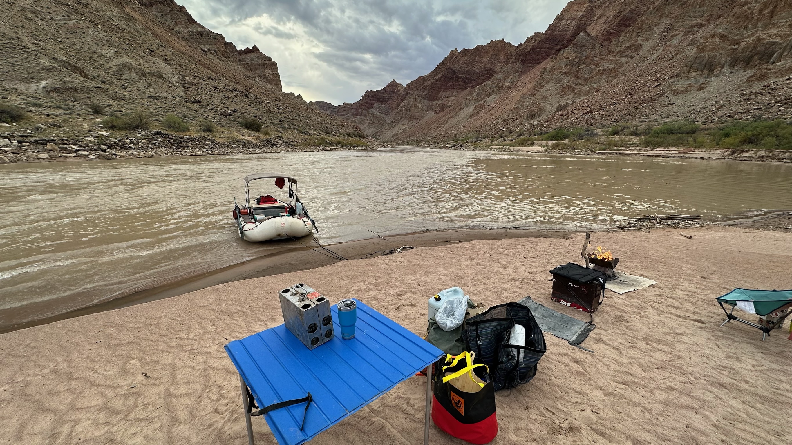
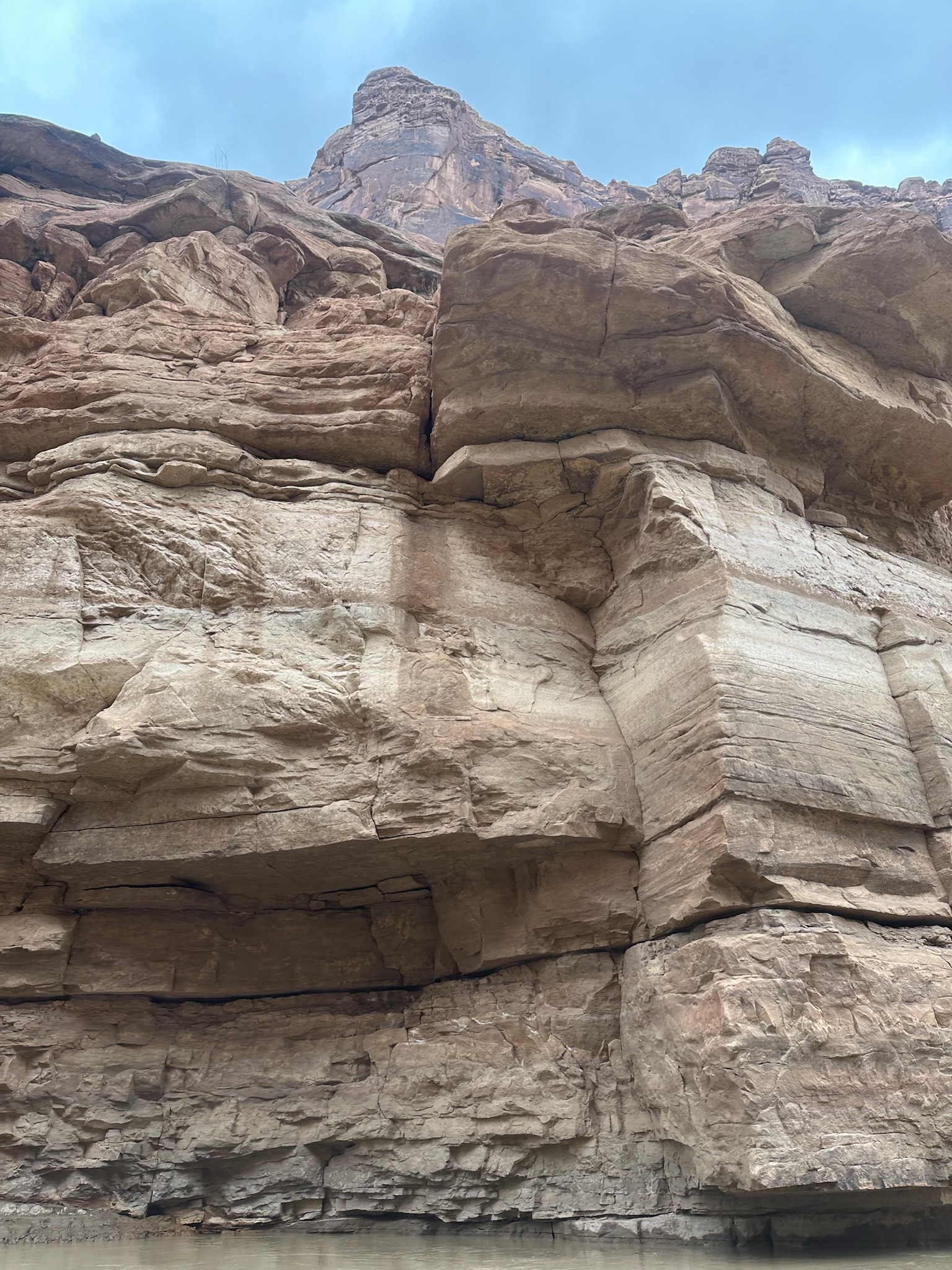
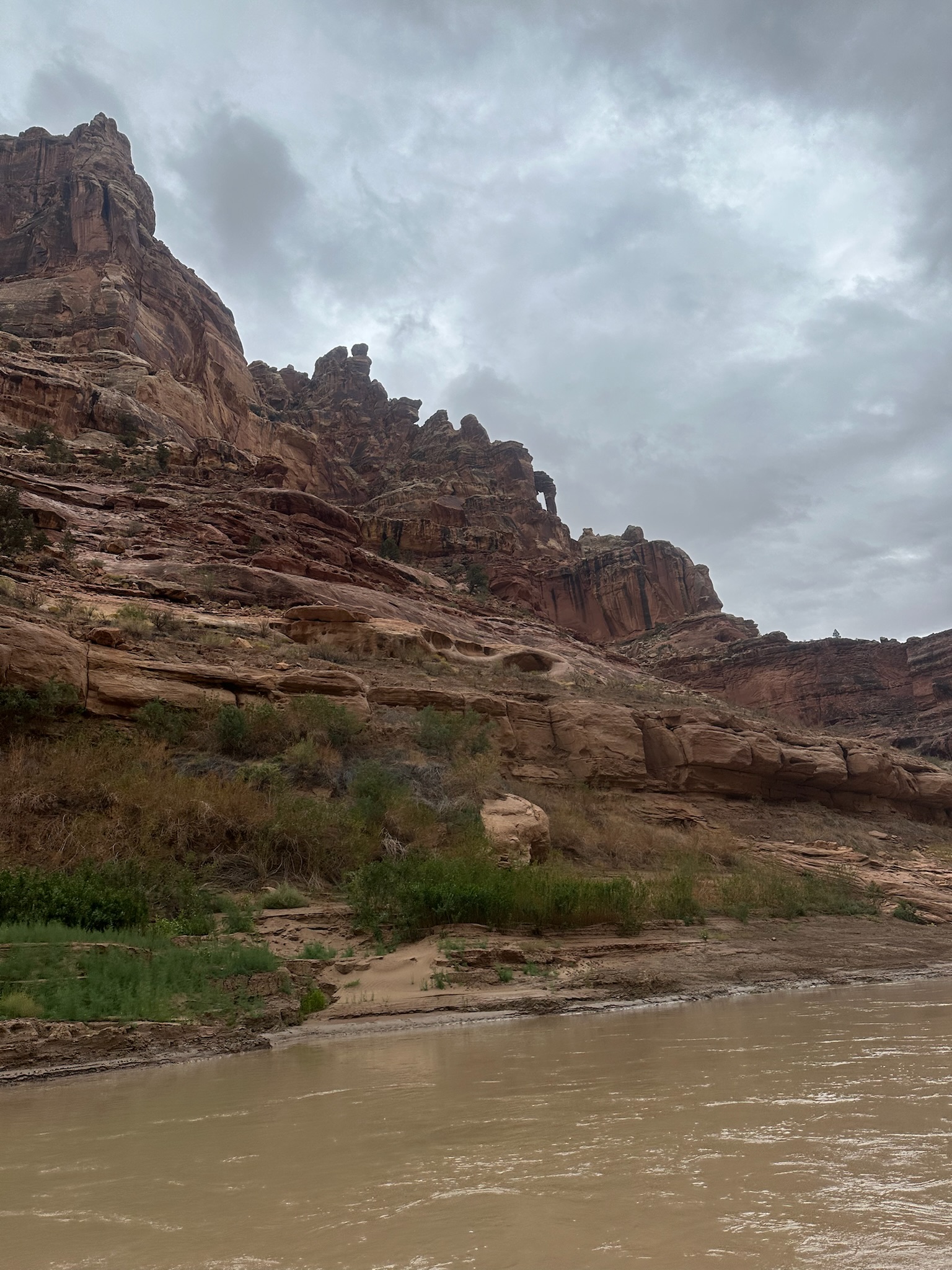
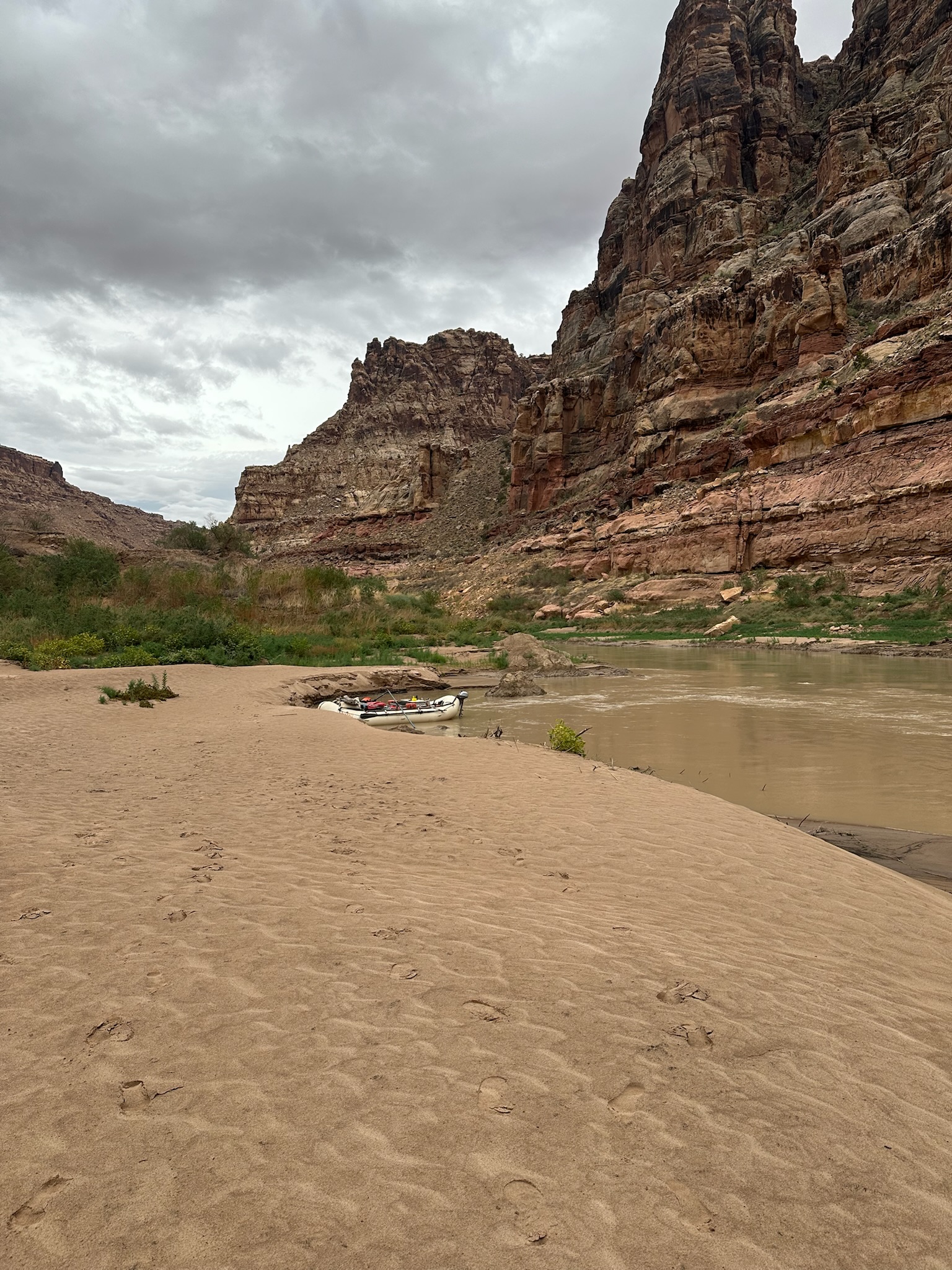
Day 2
cove camp morning
confluence
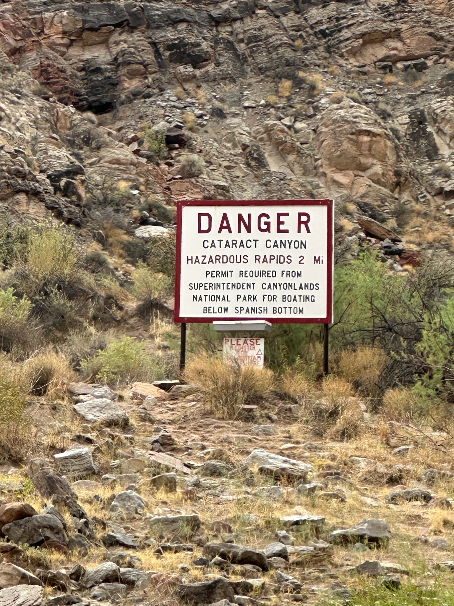
danger cataract sign
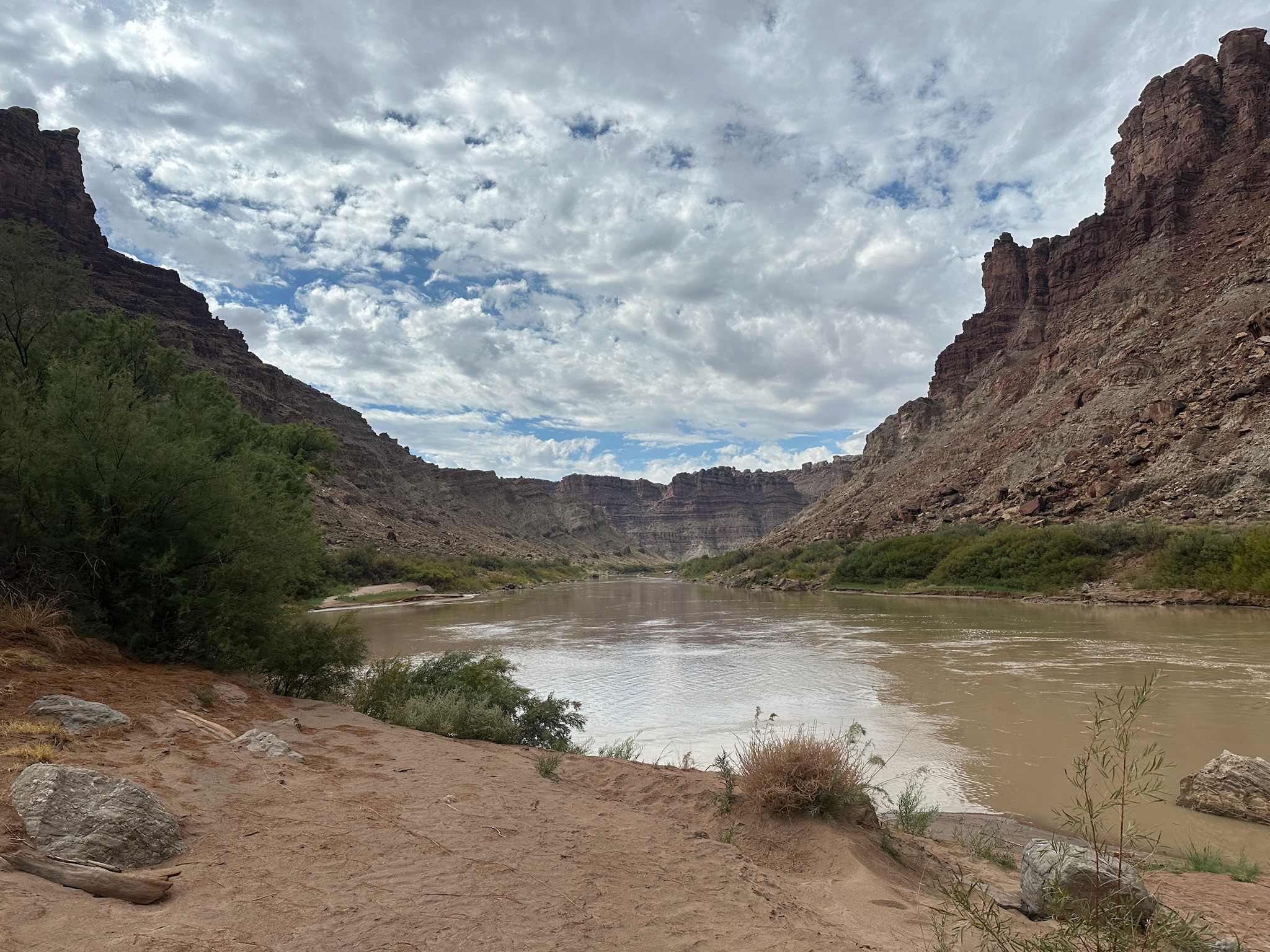
downstream view from sign
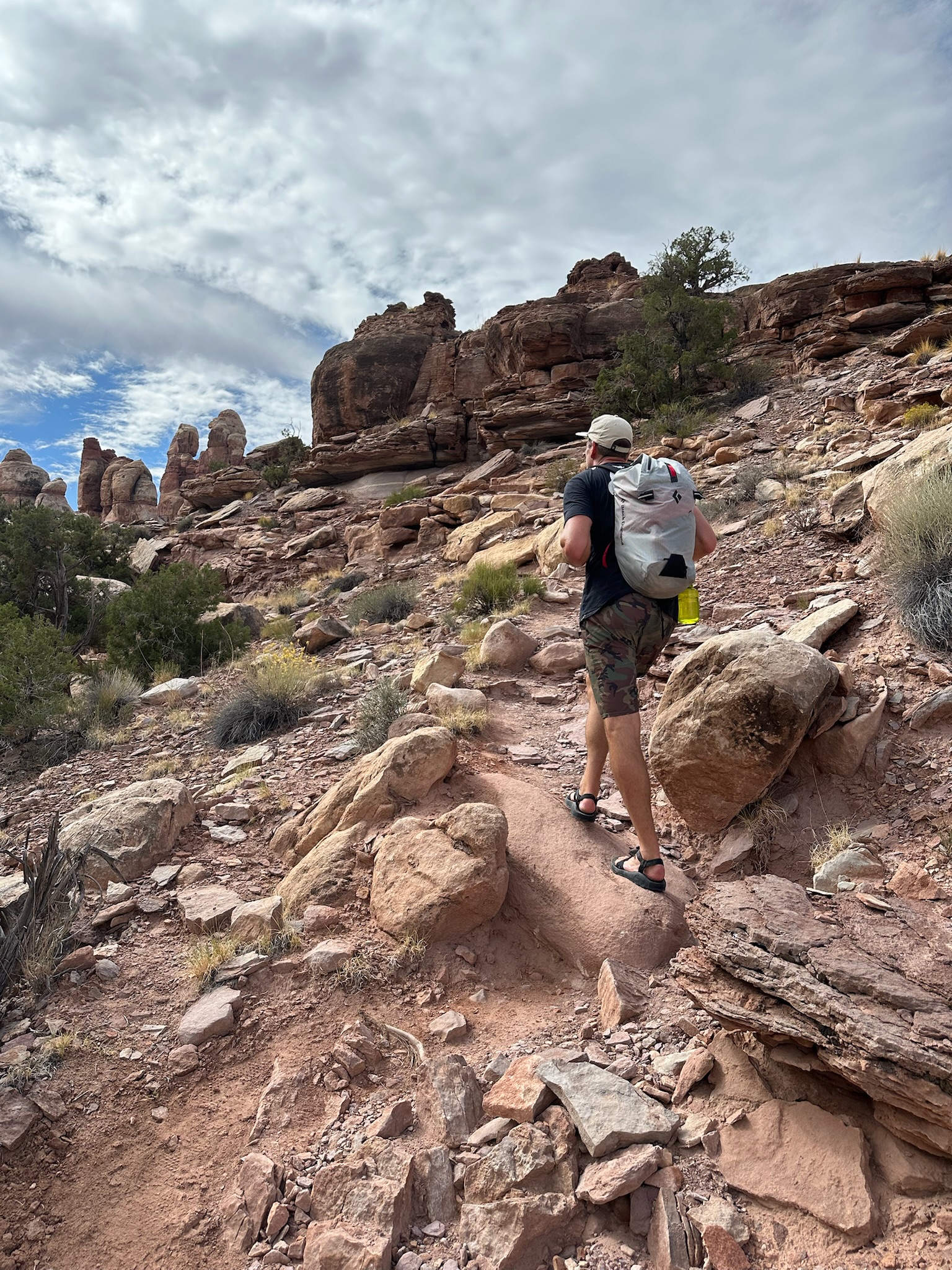
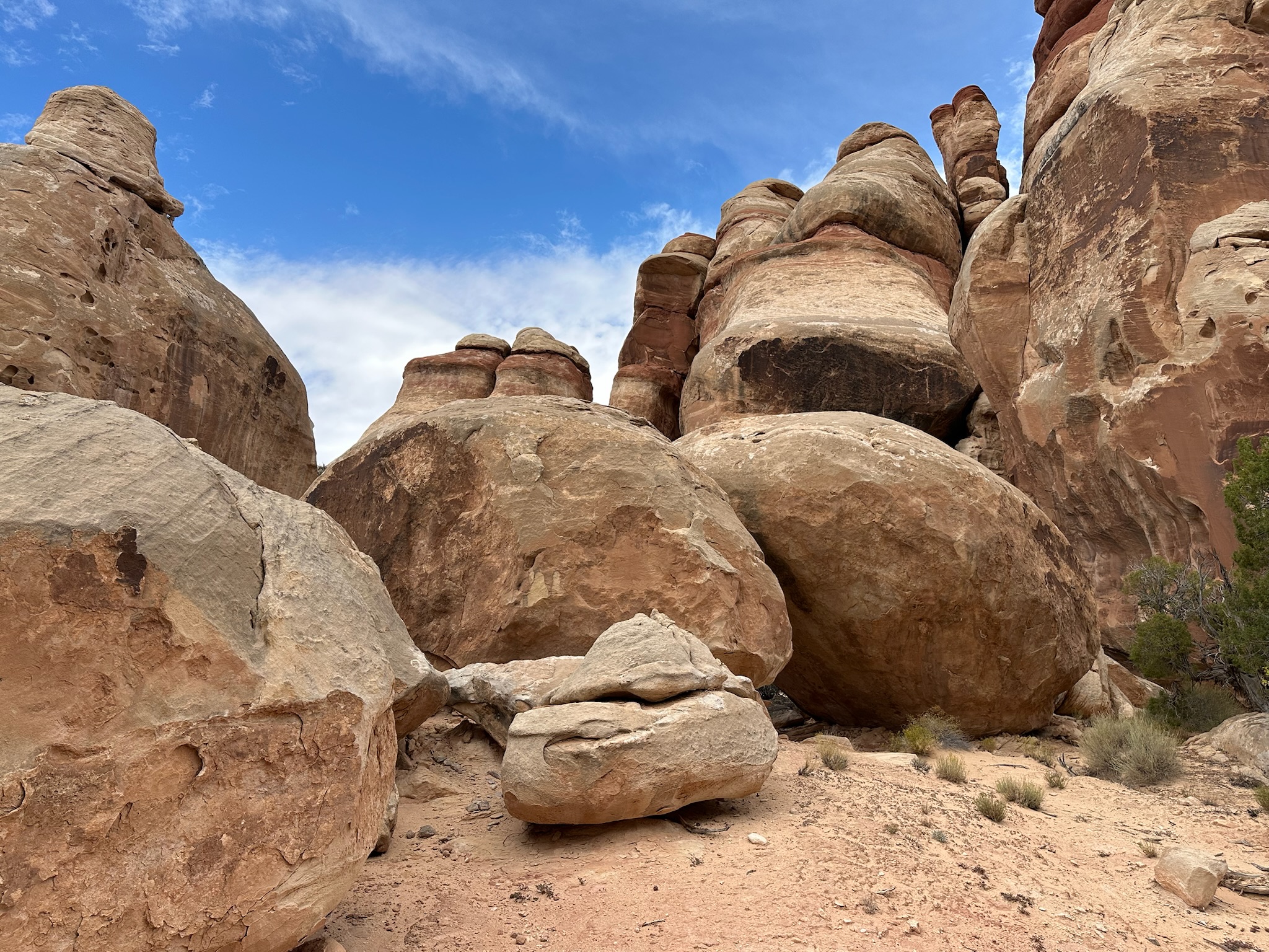
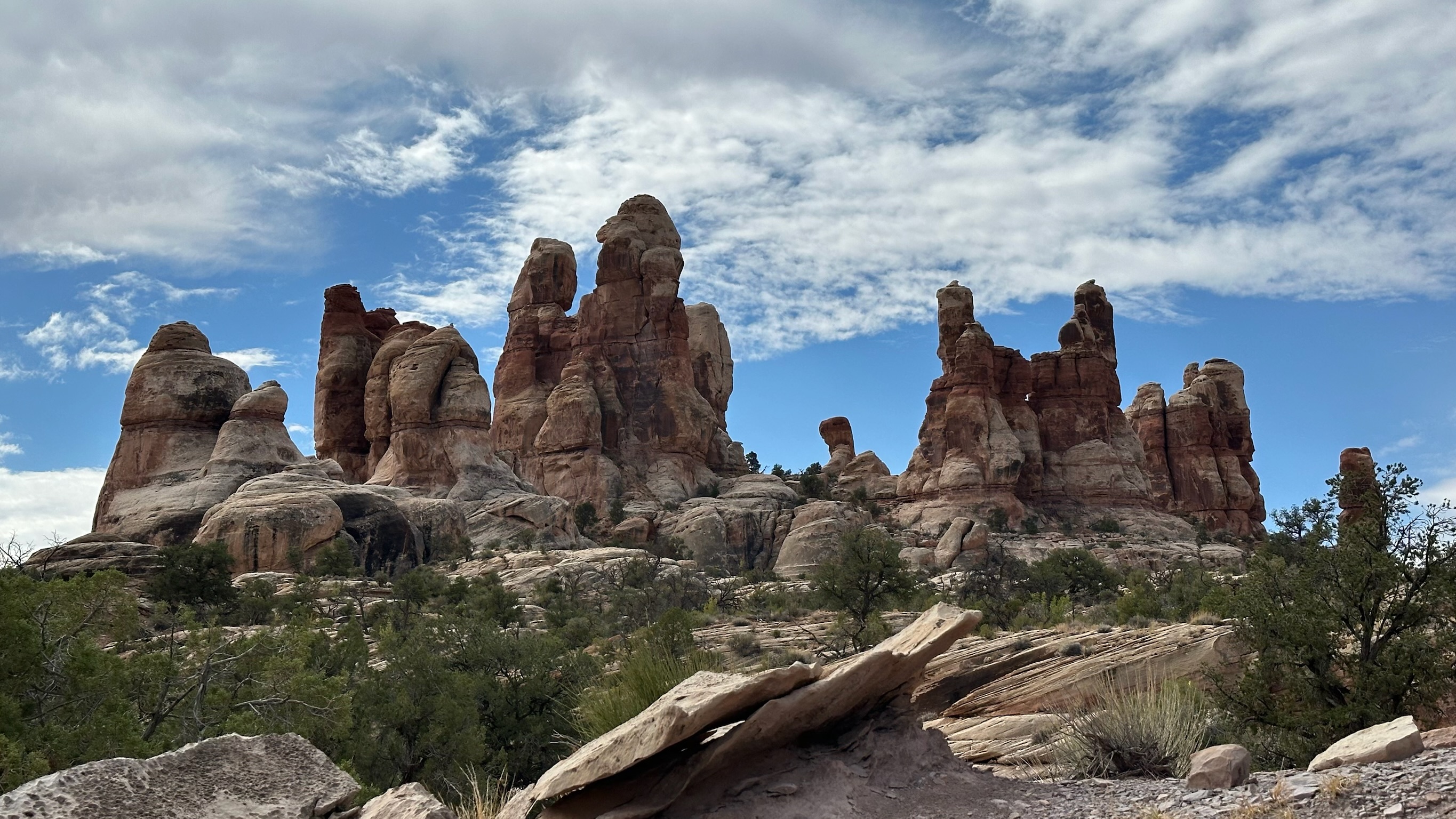
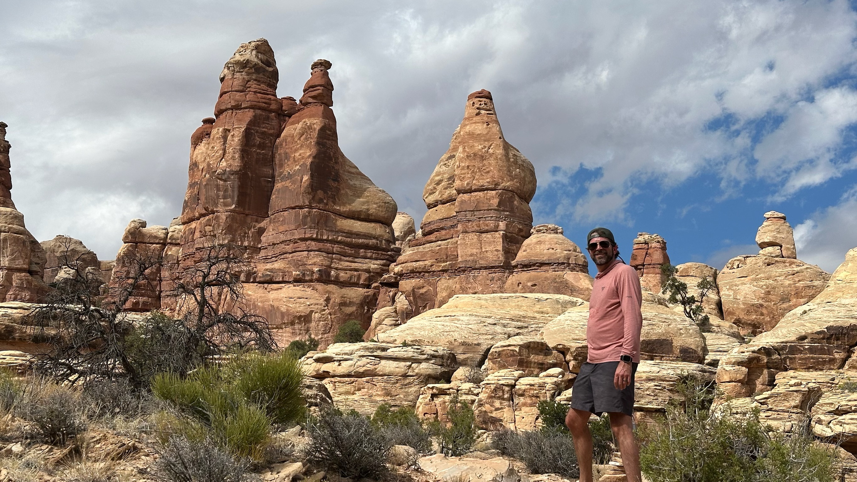
starting dolls house hike
dolls hike 1
dolls hike 2
dolls hike 3
dolls hike tripp
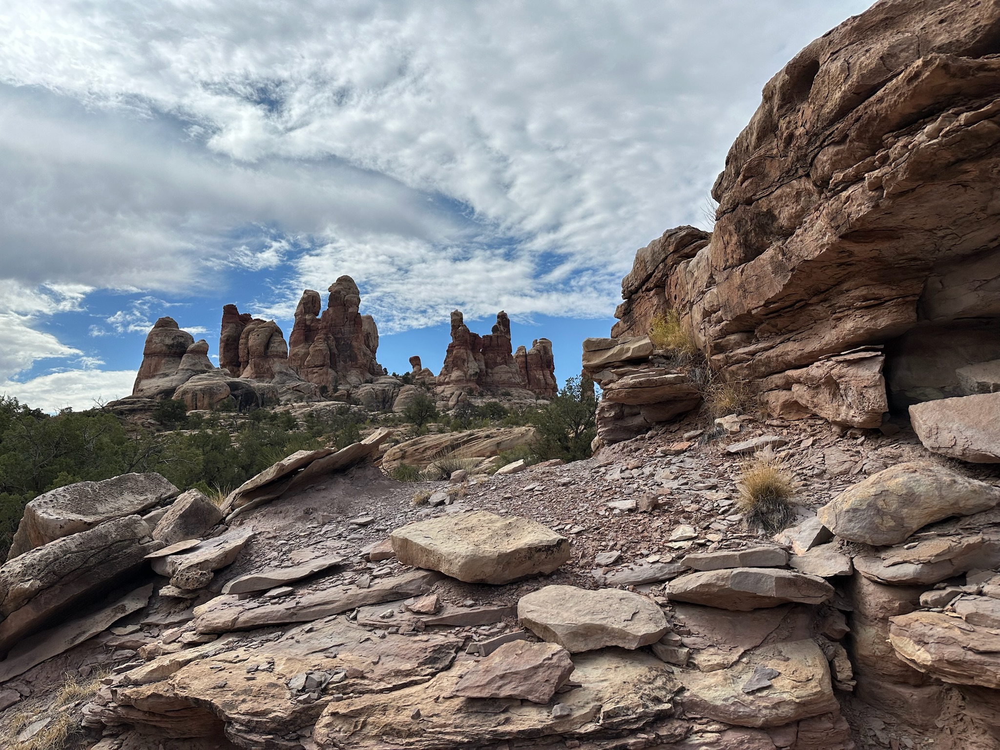
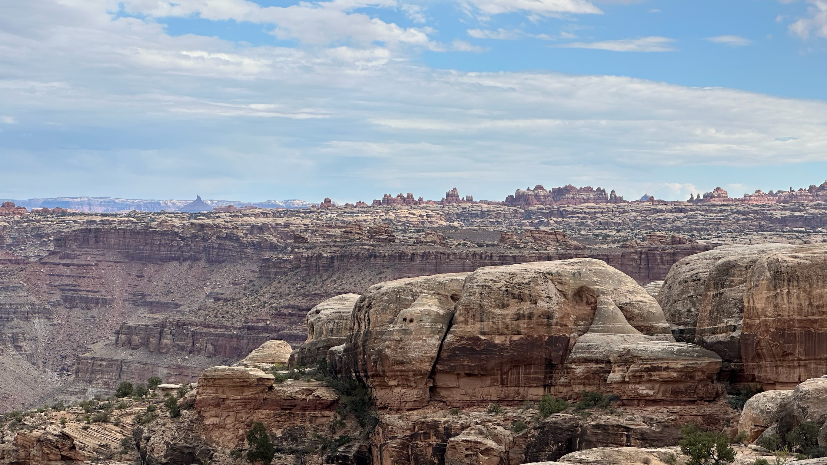
dolls hike needles district view
dolls hike la sal view
x y lower camp raft
x y lower camp
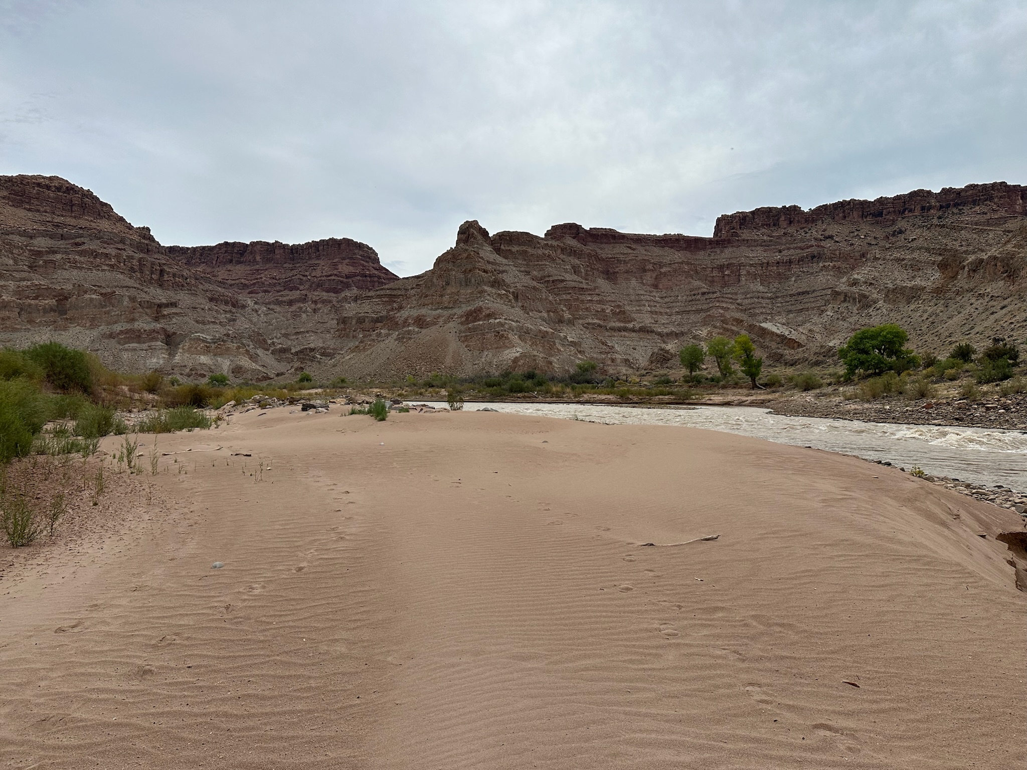
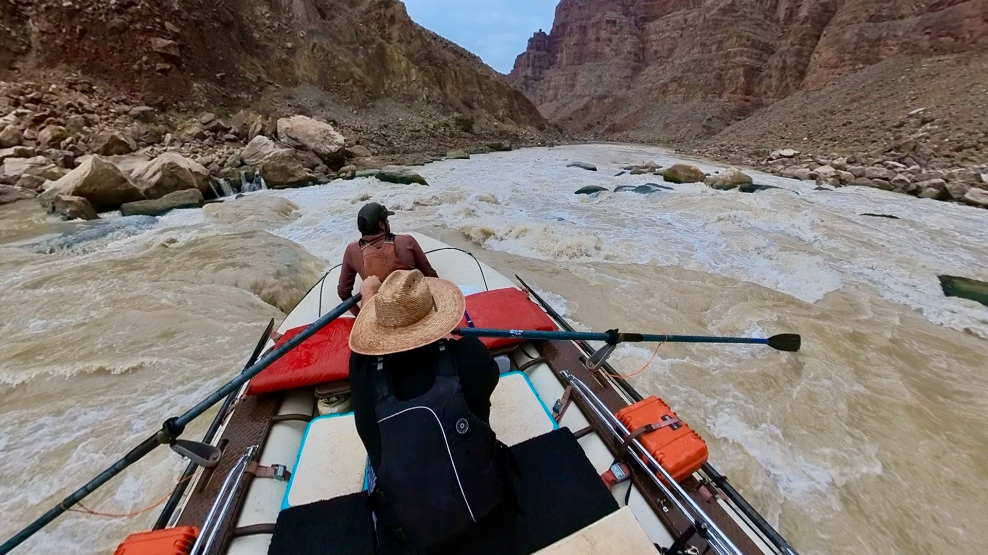
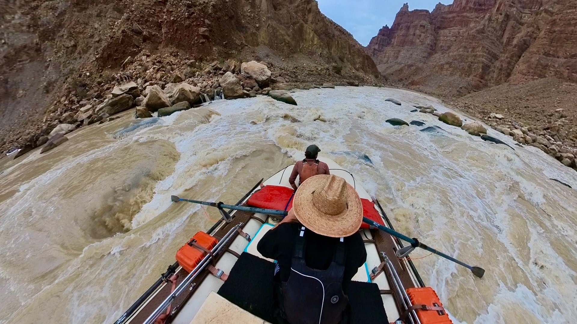
Day 3
4,950 cfs (USGS daily mean), water 61°F
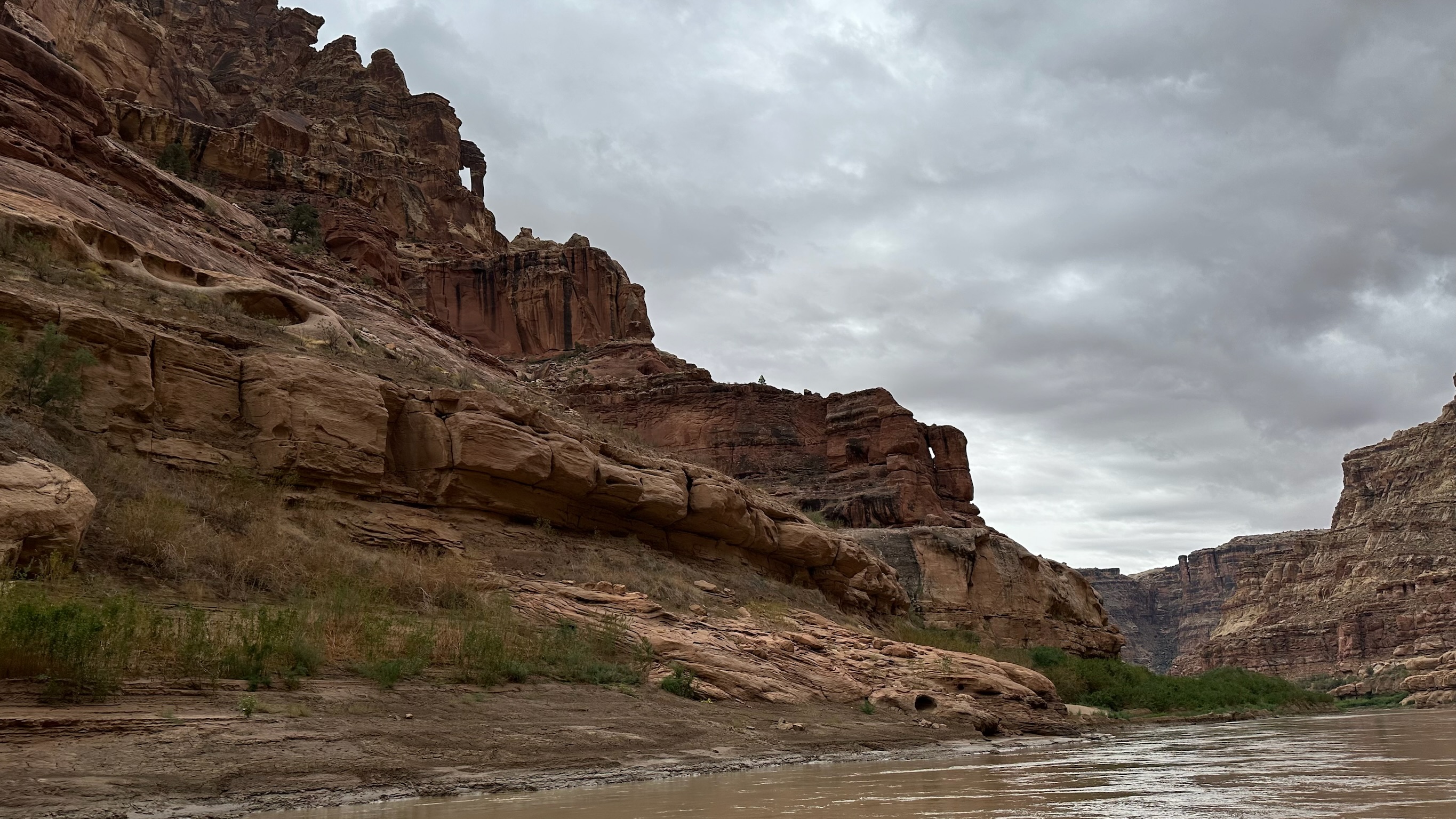
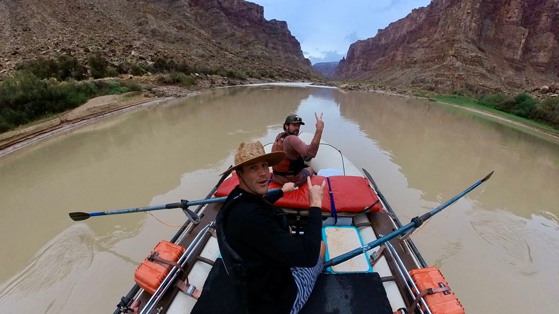
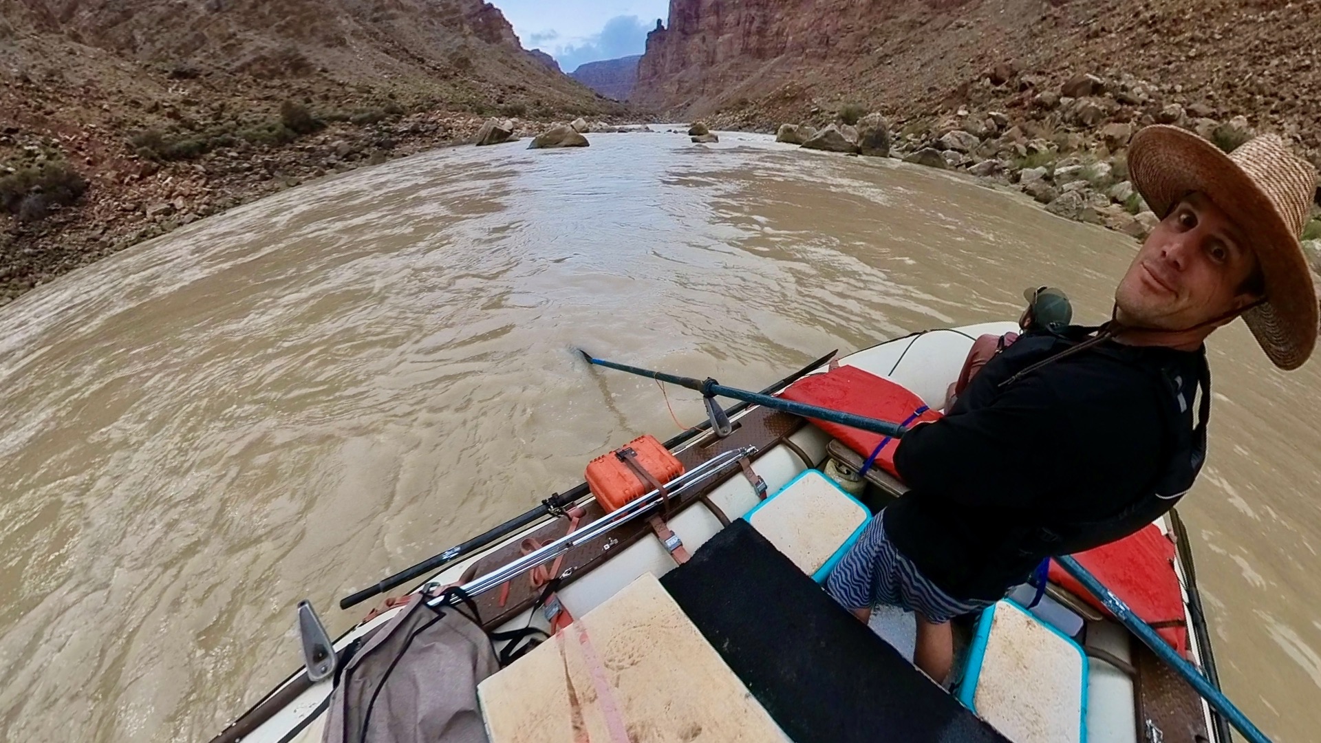
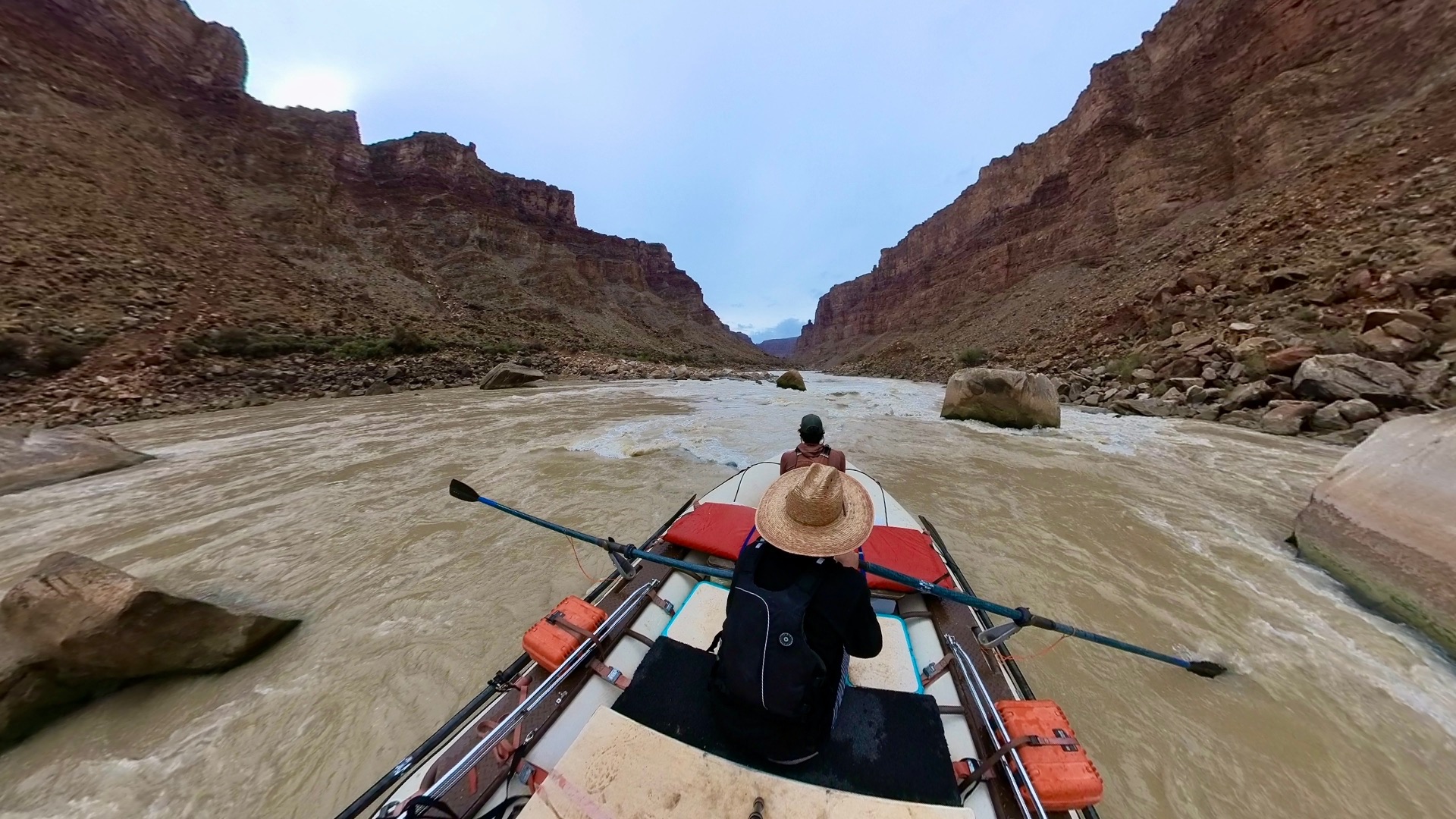
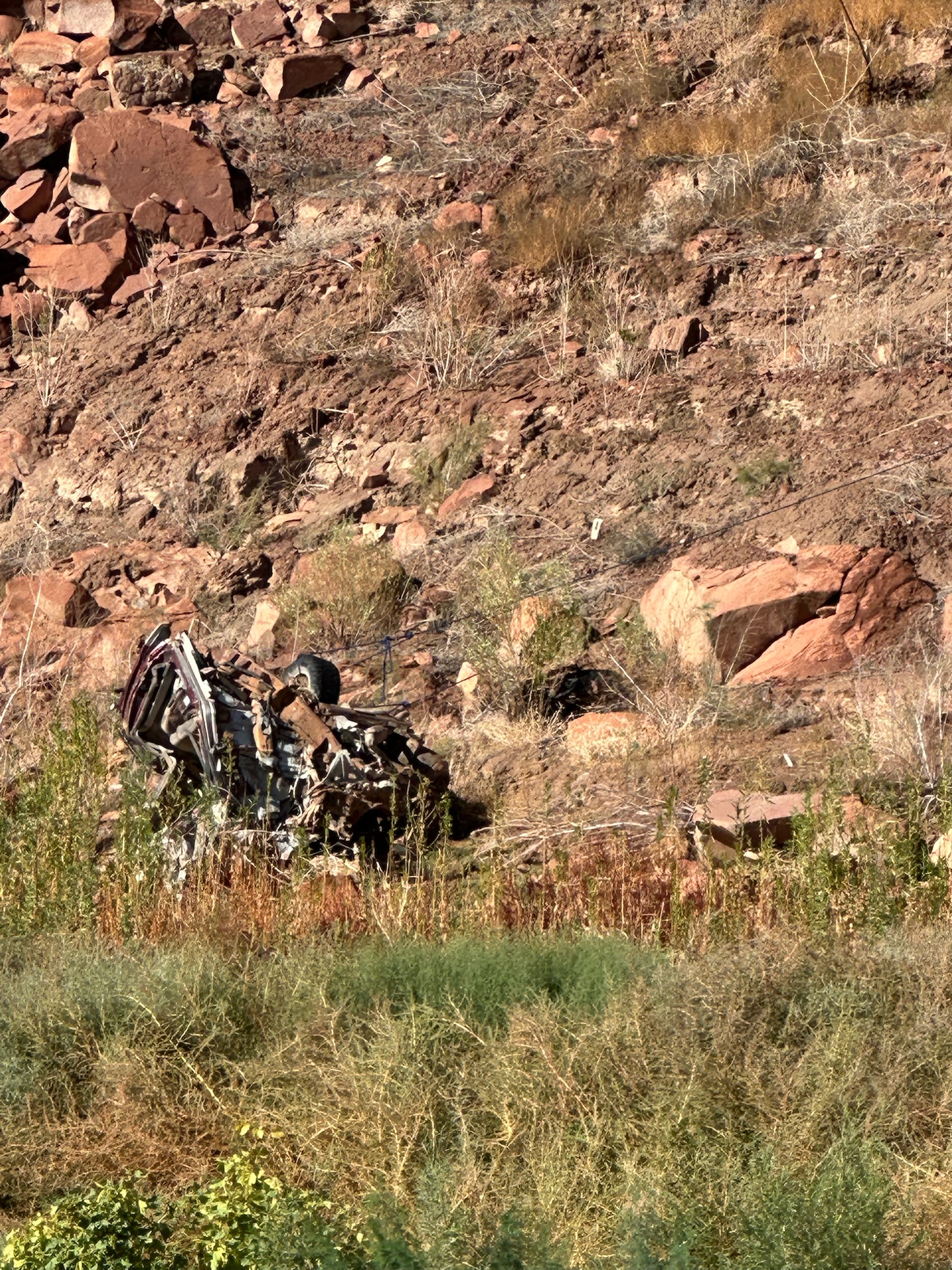
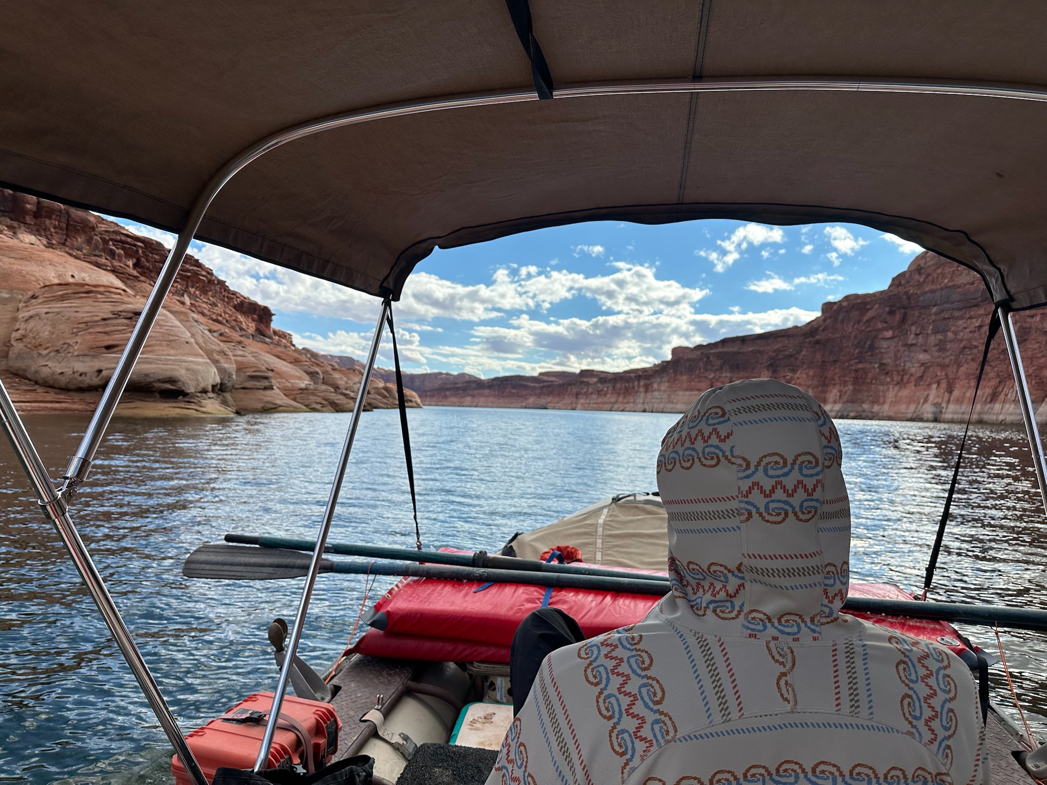
Day 3
IMG_0302
IMG_0321
IMG_2328
IMG_2330
IMG_2347
IMG_2349
IMG_2354
IMG_2357
IMG_2365
IMG_2367
VID_20241018_120154_00_011_2025 10 15_09 02 46_screenshot
VID_20241018_120154_00_011_2025 10 15_09 04 34_screenshot
VID_20241018_120154_00_011_2025 10 15_09 06 15_screenshot
VID_20241018_120154_00_011_2025 10 15_09 08 32_screenshot
VID_20241018_120154_00_011_2025 10 15_09 10 48_screenshot
VID_20241018_120939_00_012_2025 10 15_09 00 33_screenshot
VID_20241018_121315_00_013_2025 10 15_08 56 01_screenshot
VID_20241018_121315_00_013_2025 10 15_08 57 13_screenshot
VID_20241018_121315_00_013_2025 10 15_08 57 47_screenshot
VID_20241018_123123_00_016_2025 10 14_15 54 58_screenshot
VID_20241018_123123_00_016_2025 10 14_15 55 18_screenshot
VID_20241018_123123_00_016_2025 10 14_15 55 39_screenshot
VID_20241018_123123_00_016_2025 10 14_15 56 05_screenshot
VID_20241018_123123_00_016_2025 10 14_15 56 22_screenshot
VID_20241018_123123_00_016_2025 10 14_15 56 41_screenshot
VID_20241018_123829_00_017_2025 10 14_15 51 47_screenshot
VID_20241018_123829_00_017_2025 10 15_10 01 18_screenshot
VID_20241018_123829_00_017_2025 10 15_10 06 19_screenshot
VID_20241018_123829_00_017_2025 10 15_10 09 35_screenshot
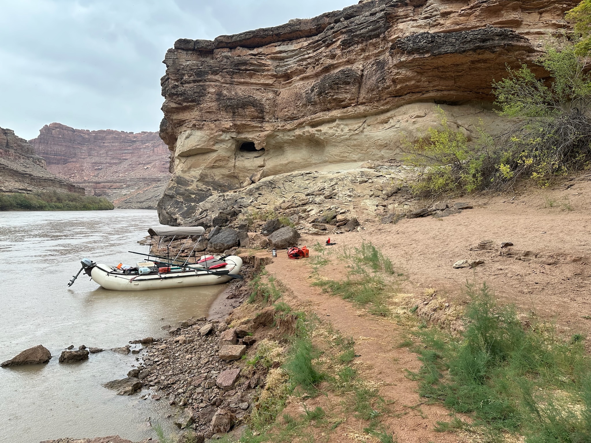
Day 4
6,750 cfs (USGS daily mean), water 62°F


Day 4
IMG_2393
IMG_2395
IMG_2398
IMG_2401
IMG_2409
IMG_2416
IMG_2420
IMG_2423
IMG_2424
IMG_2440
IMG_2446
IMG_2452
IMG_2463
IMG_2468
IMG_2471
IMG_2474
IMG_2483
IMG_2484
IMG_2485
IMG_2491
IMG_2493
IMG_2497
Day 5 — Take Out
8,460 cfs (USGS daily mean), water 62°F
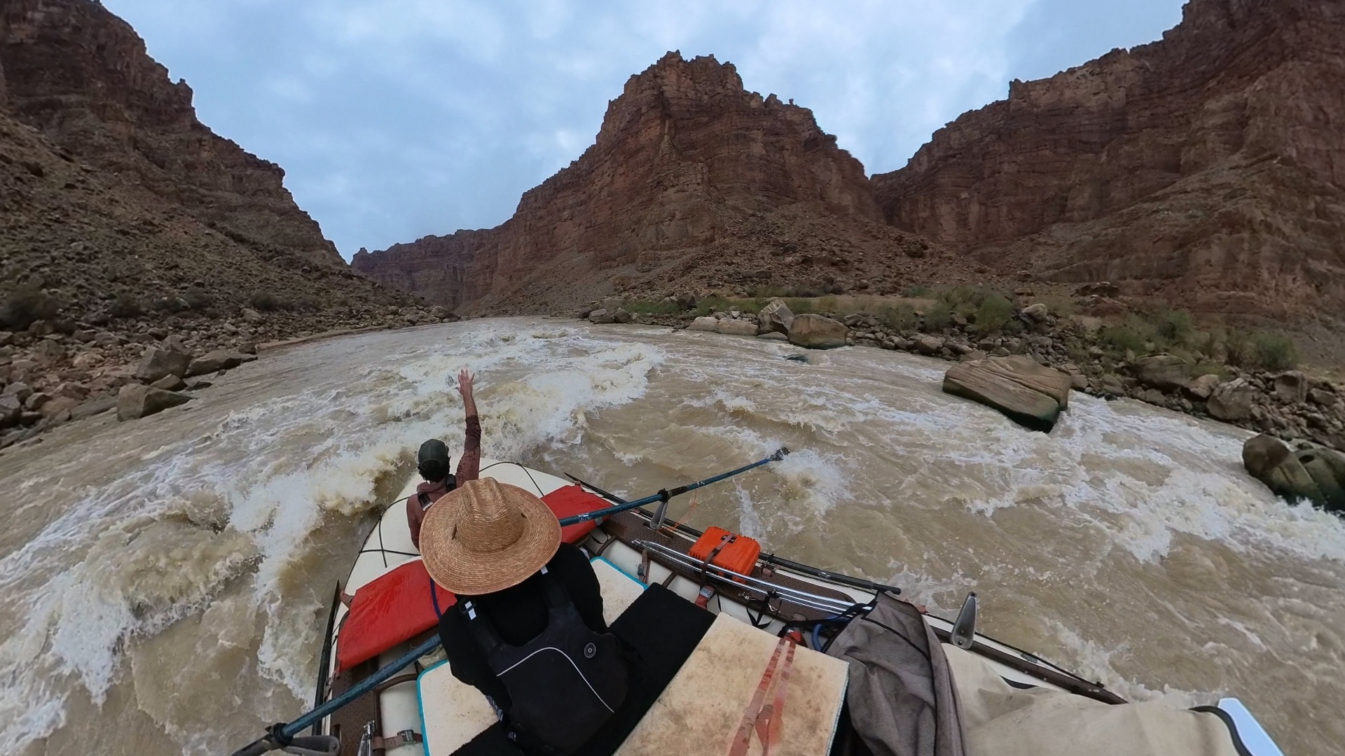
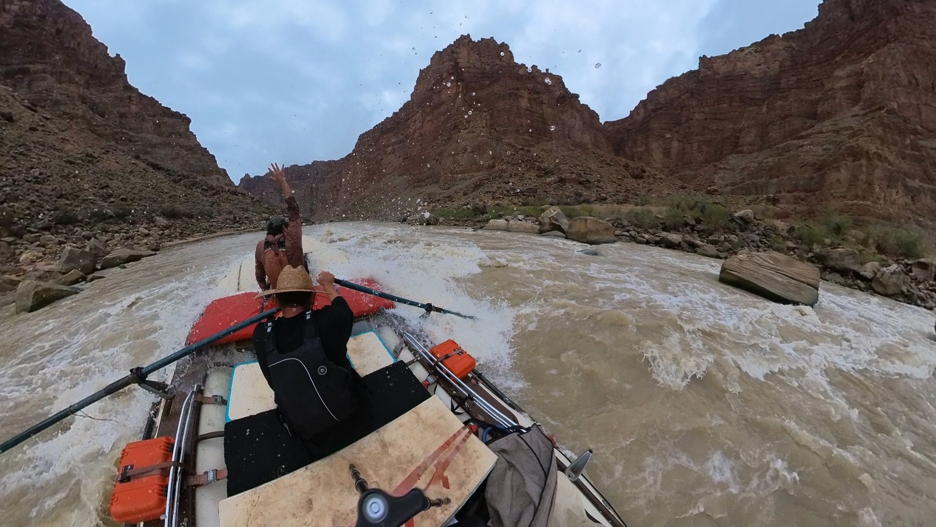
Moments the crew logged on this run.
Low Water in the Dory
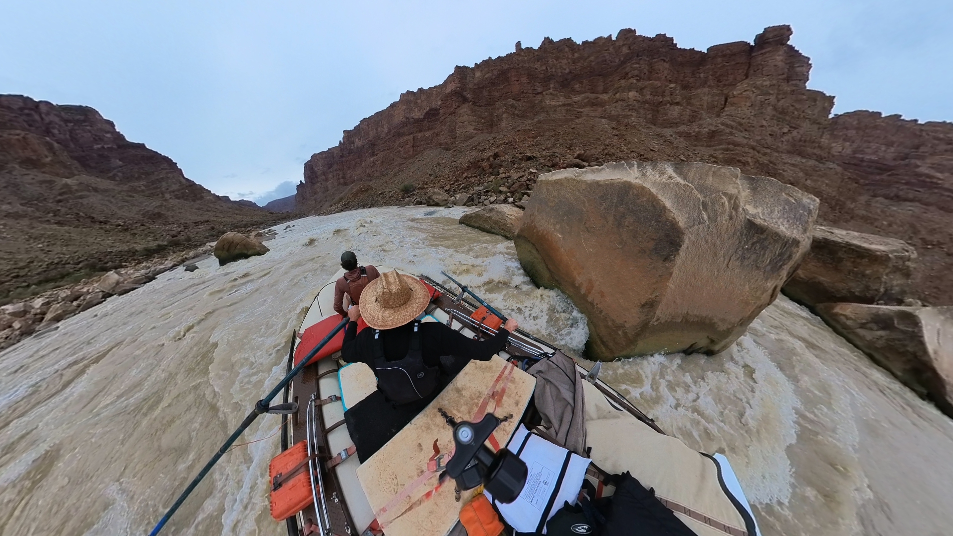
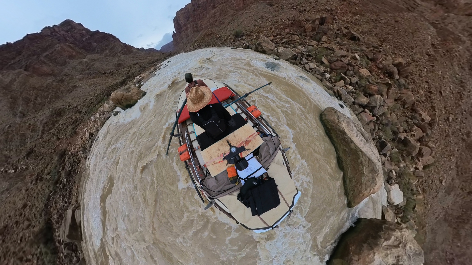
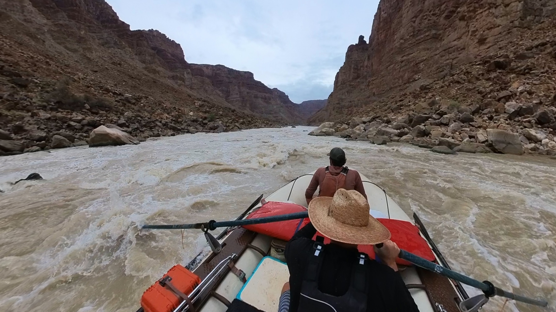
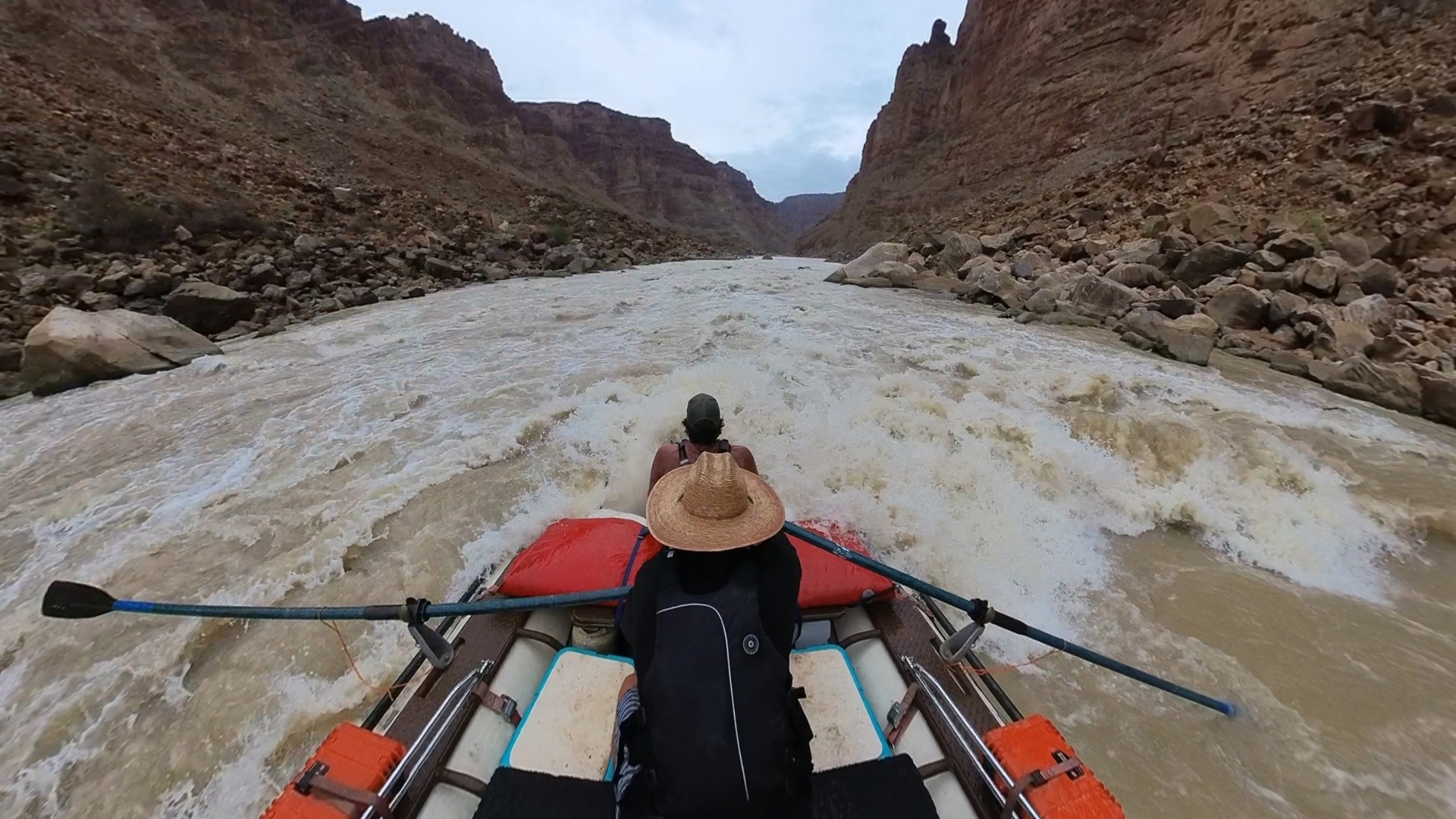
At the bottom of the runnable range, the Big Drops stop being a big-water problem and become a rock problem — and in a rigid dory, where hesitation costs a high side and even a clean line can end in a hull-cracking rock hit, low water turns out to be its own kind of hazard.
- frustration
- focus
- commitment
- grit
- humor
Colorado at Potash: 2,950–5,360 cfs (avg 3,732)
Green at Mineral Bottom: 1,390–2,560 cfs (avg 1,878)
Combined: 4,350–7,920 cfs (avg 5,610)
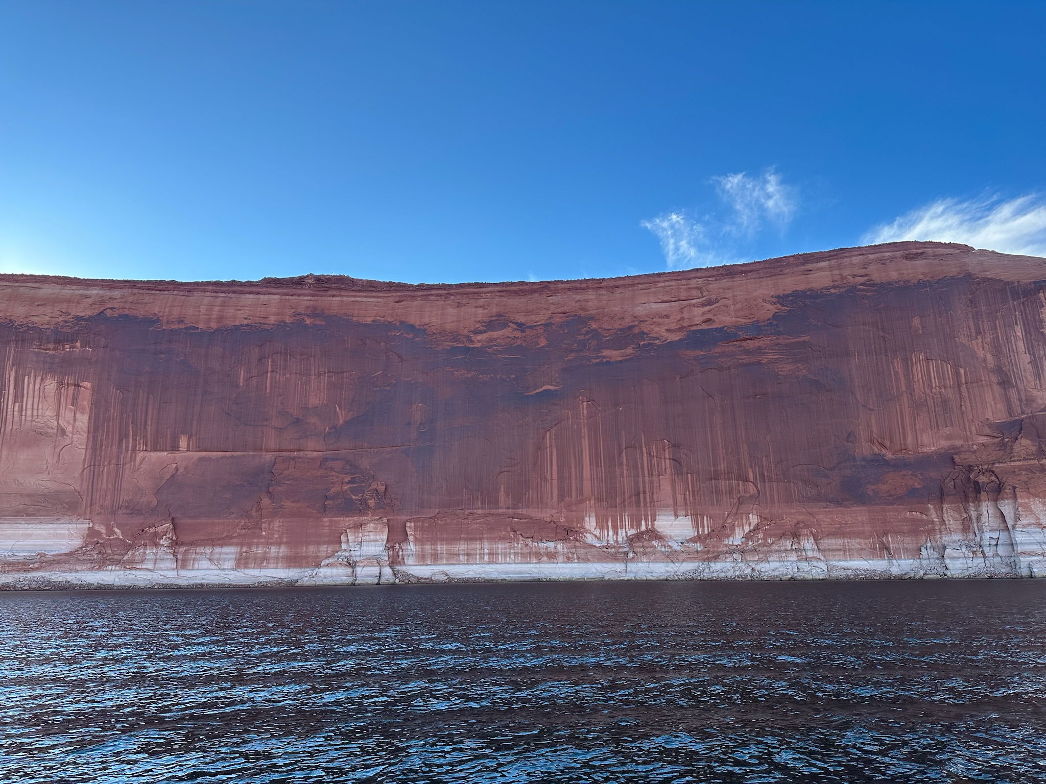
Lake Powell: 3544.13 ft at launch (3544.03–3544.46 ft during trip). USBR RISE API — Lake Powell at Glen Canyon Dam
Evidence behind the claims on this page — agency rules, maps, gauges, books, and field notes.
Permits
Hydrology
Access
Rapids
- book-excerpt Cataract Canyon (Webb / Belnap / Weisheit) — Selected Pages
- book RiverMaps Guide to the Colorado & Green Rivers in the Canyonlands of Utah & Colorado
Management
Books
Safety
- book-excerpt Cataract Canyon (Webb / Belnap / Weisheit) — Selected Pages
Cataract Canyon — June 2023
Cataract Canyon — May 2022
Gray Canyon — March 2020 (River Terrace)
Green River — May 2026 (Spillway Full Release, 9,800 CFS)
Desolation Canyon — March 2026
Cataract Canyon — July 2024
Moab Daily — May 2020 (Cinco de Mayo, Dropping Flows)
Professor Valley — May 2023 (34,700 CFS, High Water)
- NRS Otter 140 Self-Bailing Raft 14-foot self-bailing raft built for multi-day river expeditions. The Otter 140 is the workhorse of private permit trips on the Colorado Plateau — big enough for a full gear load, nimble enough for technical water. NRS Direct
- NRS Stern Frame Standard stern frame for oar-powered rafts. Mounts behind the rower for gear platform rigging on multi-day river trips. NRS Direct
- Cataract Oars SGG 11ft 11-foot composite oars for big water rafting. The SGG blade shape delivers power in heavy hydraulics without excess weight. Cataract Oars Direct
- Partner Steel 2-Burner Stove Heavy-duty 2-burner propane stove designed for river trip kitchens. Wind-resistant burners and a removable drip tray built for camp cooking at scale. Partner Steel Direct
- Canyon Coolers Outfitter 75 75-quart rotomolded cooler sized for raft bays. Built in Arizona for desert river conditions — keeps ice 5+ days in canyon heat. Canyon Coolers Direct
- Big Water Raft System Complete oar rig for Class III-V multi-day river expeditions. Raft, frame, oars, and rigging configured for big water on the Colorado Plateau.
- River Kitchen System Camp kitchen setup for multi-day river trips. Stove, cooler, and dry storage configured to feed a crew from the back of a gear raft.
- Tex's Riverways Shuttle service for Green River and Colorado River trips in eastern Utah. Covers Desolation Canyon, Labyrinth Canyon, Stillwater, and Cataract Canyon put-ins and take-outs. Tex's Riverways
Join the Expedition Briefing
Route drops, river notes, gear systems, and field reports—sent like a briefing, not a newsletter.