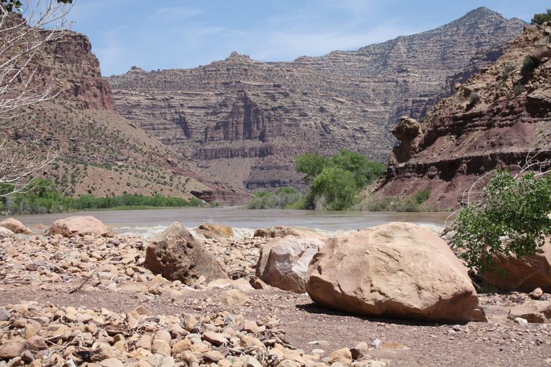
Desolation Canyon
The full Desolation–Gray trip covers 84 miles of the Green River from Sand Wash to Swaseys Rapid — the longest roadless canyon in the contiguous United States. The upper 58 miles through Desolation Canyon are wilderness: no roads, no cell service, no bailout. The canyon deepens steadily through the Book Cliffs, with rapids building from easy riffles to solid Class III by the final third. Gray Canyon adds 26 miles of tighter, faster water through the Price River Canyon before the take-out at Swaseys. Most groups run it in 5–7 days, camping on sand benches and exploring side canyons with Fremont rock art, historic ranches, and desert arches.
- Distance
- 84 miles
- Typical days
- 6
The geography underneath
One recognizable trip, 2 named river sections. The trip has one name; the river carries you through more geography than that name reveals.
- Desolation Canyon 58.1 mi the journey
- Gray Canyon 26.7 mi the journey
The journey
What the water is doing
Desolation Canyon
Bands keyed to Green River at Green River, UT
-
800–4,500 cfs
Low
current
Mellow flatwater sections become shallow. Some dragging.
-
4,500–16,000 cfs
Optimal
current
Classic desert float. Consistent current, engaging rapids.
-
16,000+ cfs
High
current
Fast and pushy. Campsite availability changes. Great for experienced crews.
Flow knowledge is owned by the Desolation Canyon section record — full flow spectrum and history there.
Gray Canyon
Bands keyed to Green River at Green River, UT
-
1,500–3,000 cfs
Low — manageable
current
Runnable but slow and technical in places. More rock exposure.
-
3,000–8,000 cfs
Medium — classic Gray character
current
Best conditions for most groups — good wave trains, defined lines, manageable consequence.
-
8,000–25,000 cfs
High water
current
Experienced crews in strong craft. Powerful hydraulics and faster travel. Eddy access requires planning.
Flow knowledge is owned by the Gray Canyon section record — full flow spectrum and history there.
Permit
- Desolation Gray - Green River Permit — Bureau of Land Management — Price Field Office · lottery
Access
- Put-in
- Sand Wash Ranger Station and Boat Launch
- Take-out
- Swaseys Boat Ramp