Lowest Water
highWhat goes wrong
- foot entrapment
- heat illness
- crew exhaustion
Consequence
- injury
- trip delay
The rapid-dense lower chapter of the Desolation-Gray run — 25 miles of gray shale walls and Class II–III whitewater finishing at Swasey's Beach.
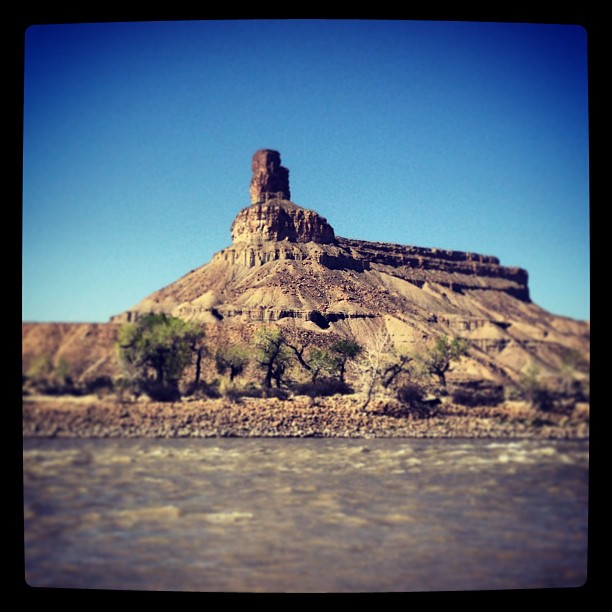
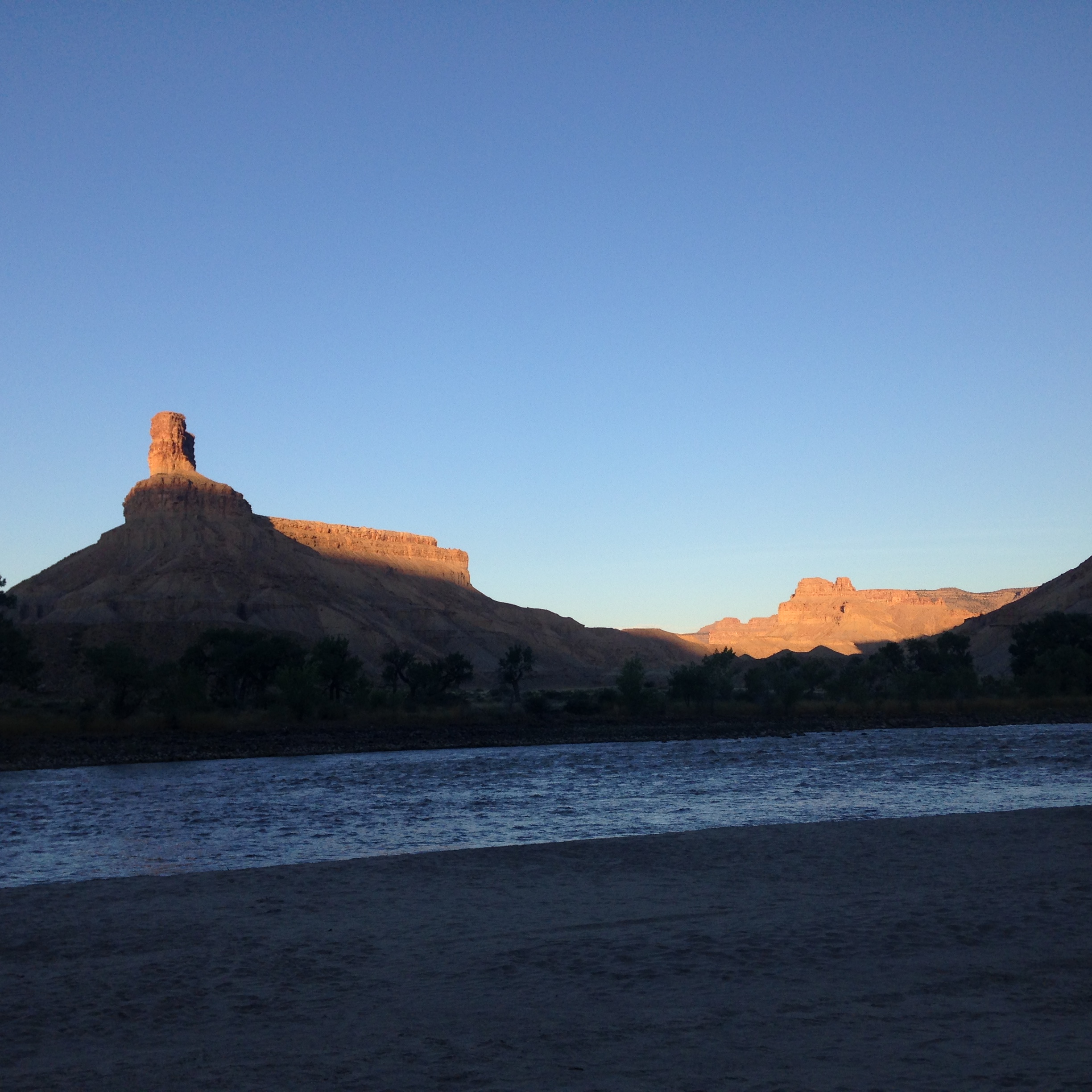
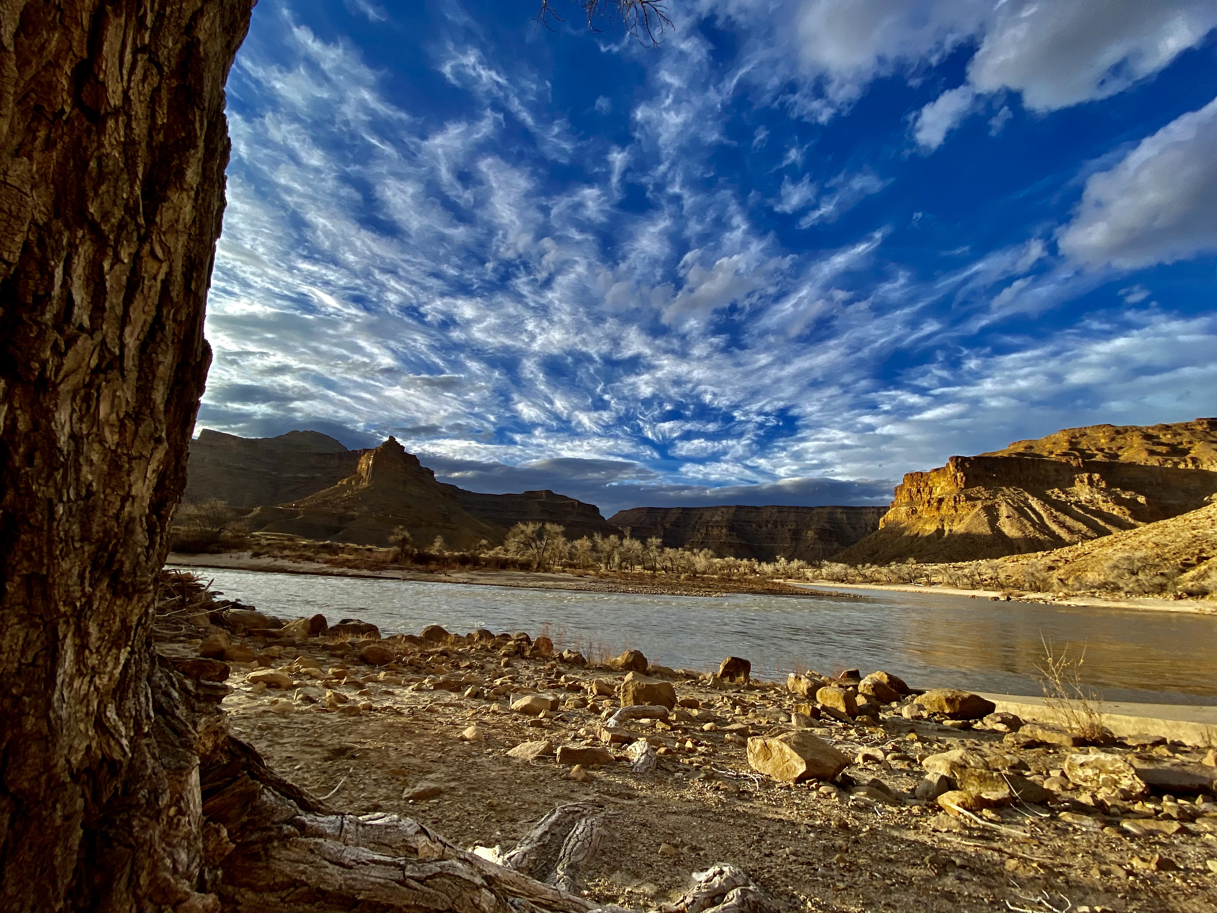
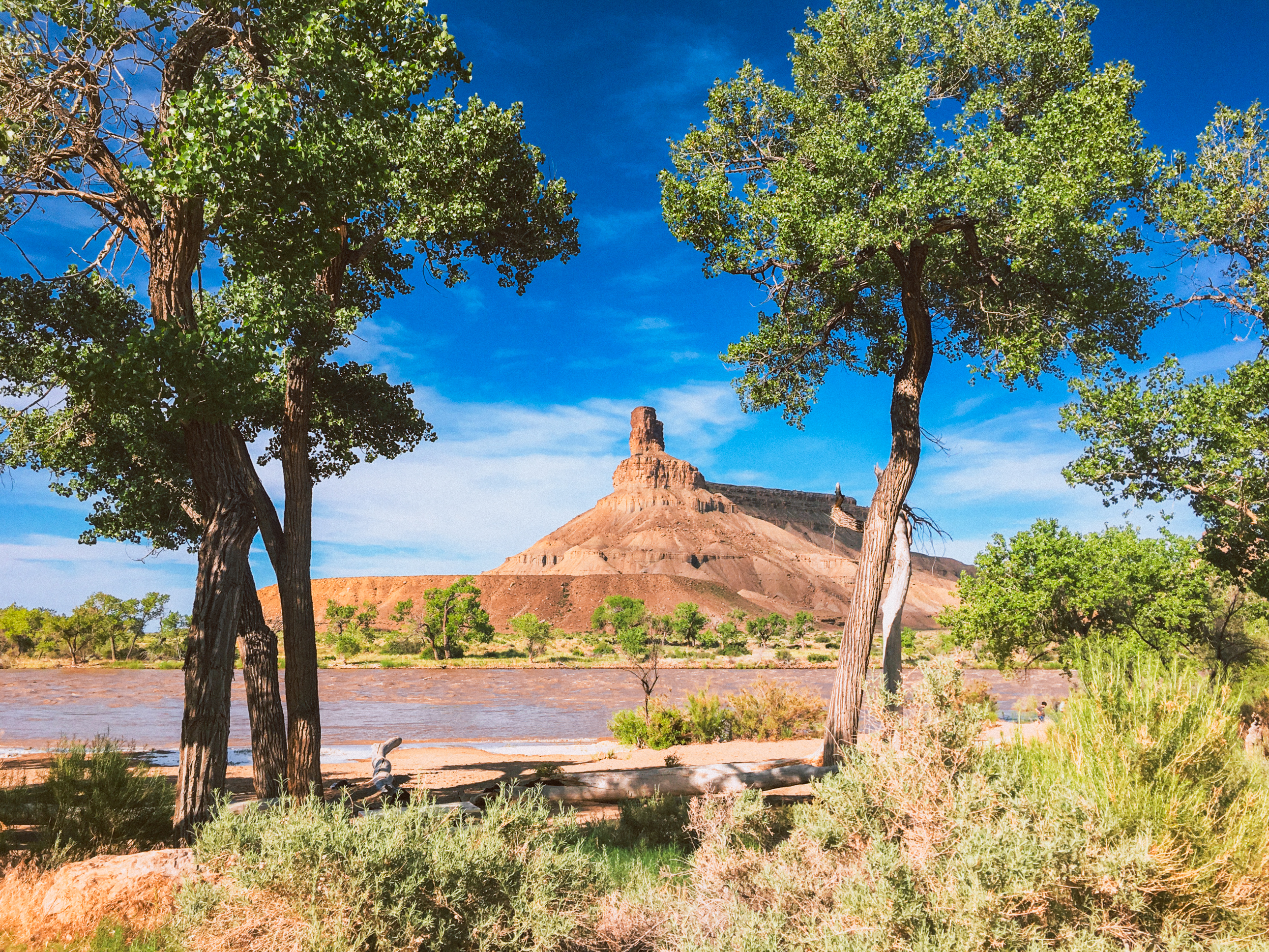
Gray Canyon, Green River.
Gray Canyon, Green River.
Gray Canyon, Green River.
Gray Canyon, Green River.
Gray Canyon, Green River.
Gray Canyon, Green River.
Gray Canyon, Green River.
Gray Canyon, Green River.
Gray Canyon, Green River.
Gray Canyon, Green River.
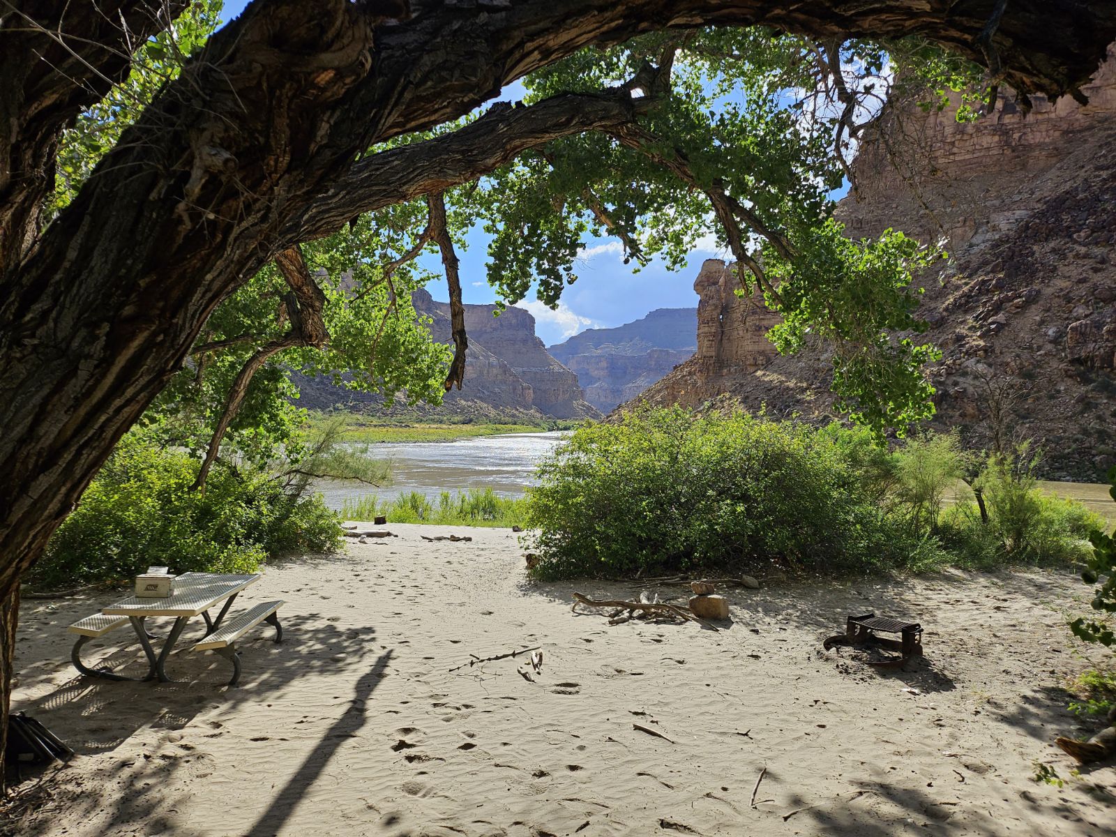
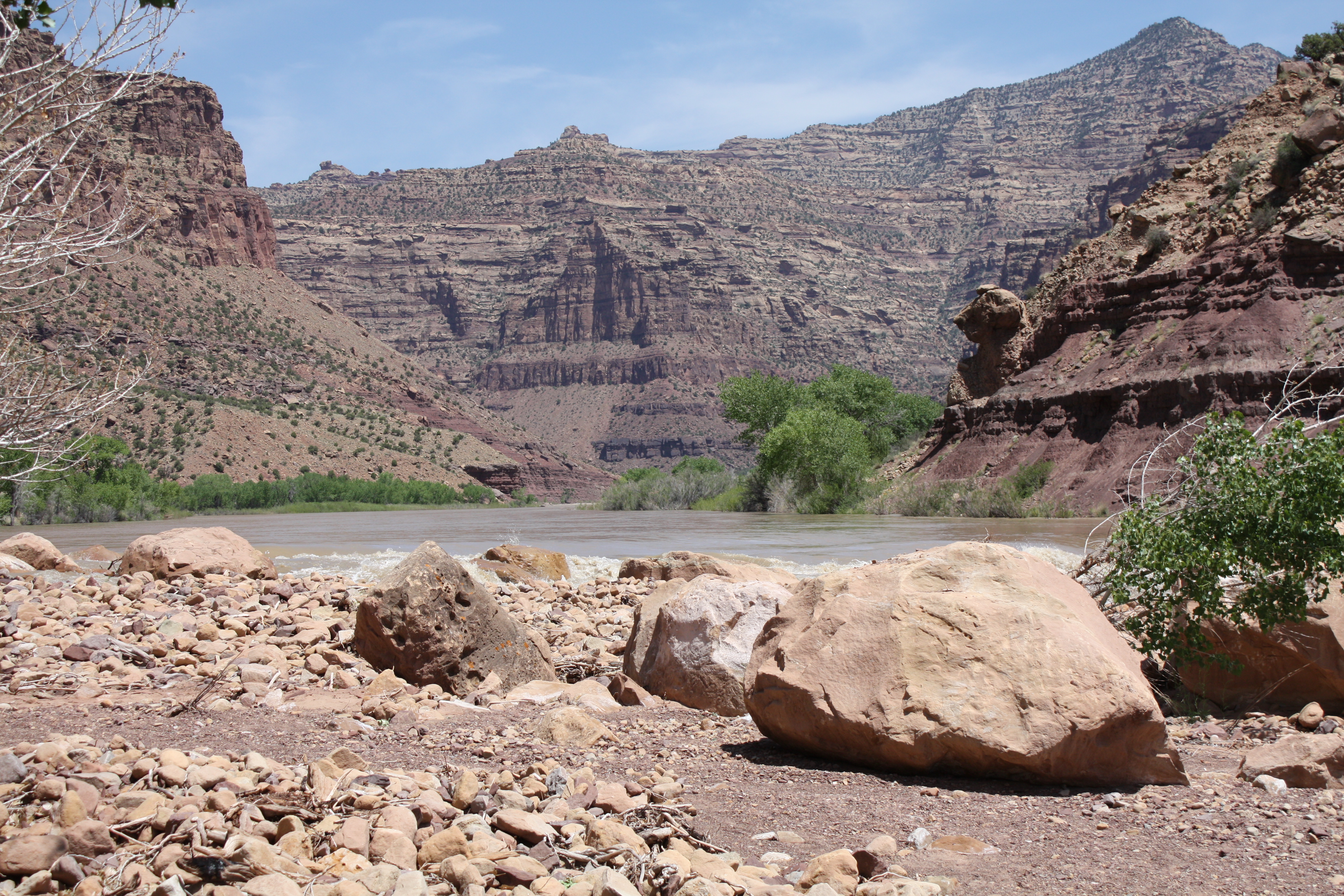
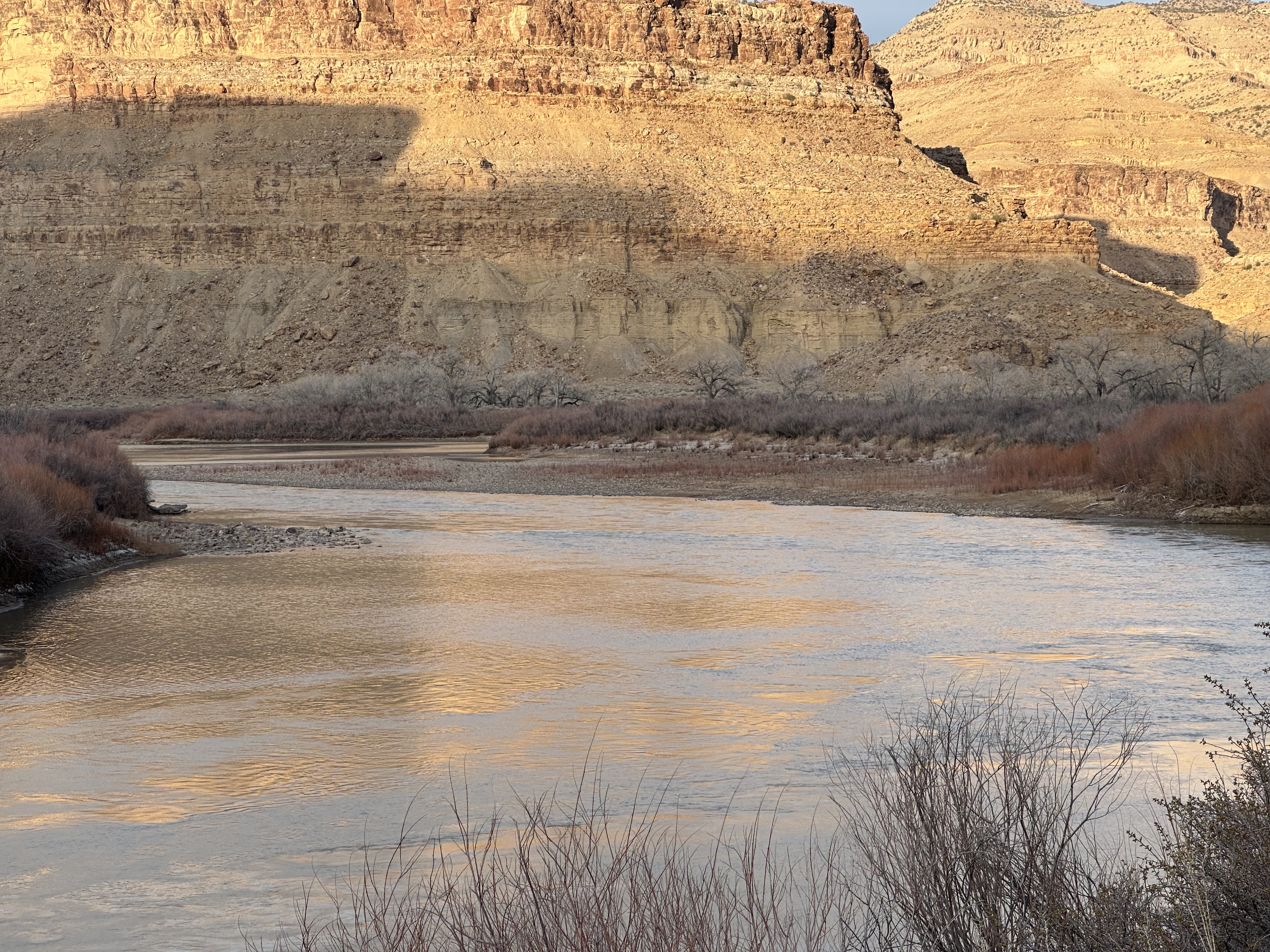
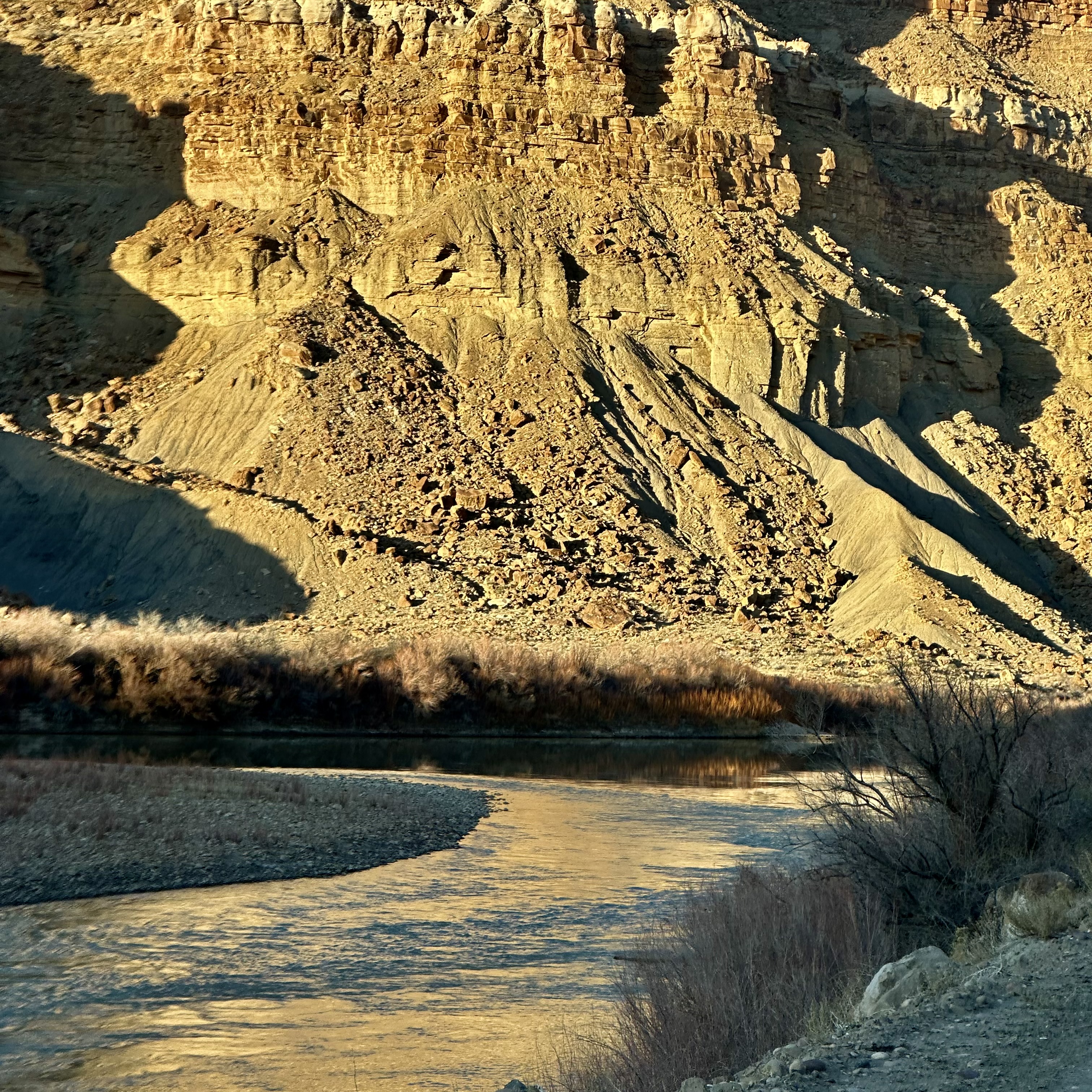
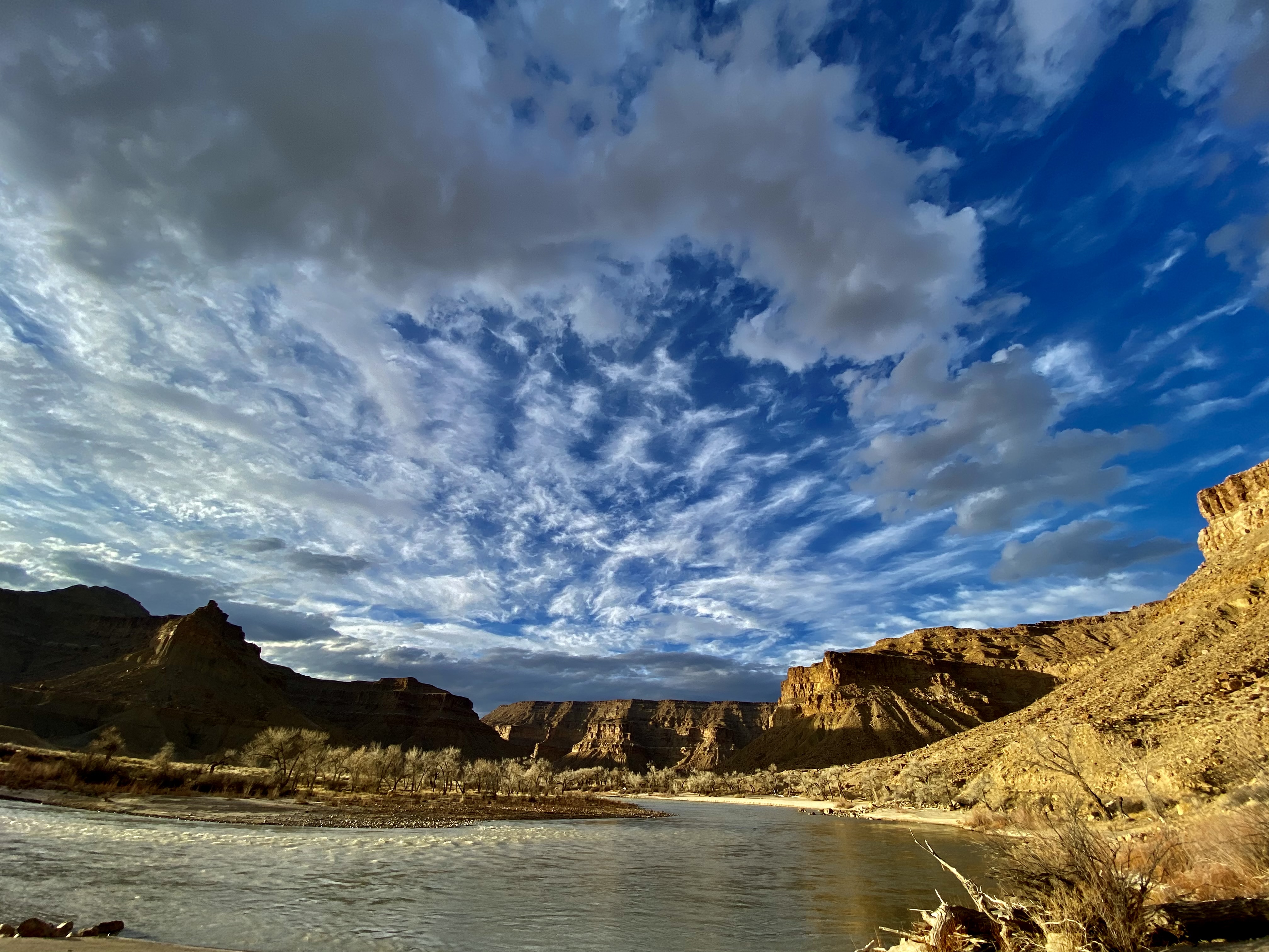
Gray Canyon is the whitewater-dense lower chapter of the Desolation-Gray run — 25 miles of Class II–III rapids through gray shale walls that finish at one of the most welcoming river take-outs in canyon country. The canyon's character differs sharply from upper Desolation: tighter walls, more continuous rapids, and a geology defined by gray Mancos Shale rather than the red Uinta sandstone upstream.
Gray Canyon is the lower half of the classic Desolation-Gray run, carrying the Green River through roughly 25 miles of canyon below the Price River confluence before delivering it to Swasey's Beach near the town of Green River, Utah. The canyon walls shift from Desolation's red Uinta sandstone to gray and buff Mancos Shale and Green River Formation as the river descends through the Tavaputs Plateau, giving the canyon its name and a distinct visual character. More rapid-dense than upper Desolation, Gray delivers a satisfying whitewater finish — Florence Creek and Swasey's Rapid are the signature moves — before the walls open into the agricultural Green River valley. Gray is nearly always floated as the lower segment of the full Desolation-Gray run; standalone access is difficult due to the lack of road access at its upper end.
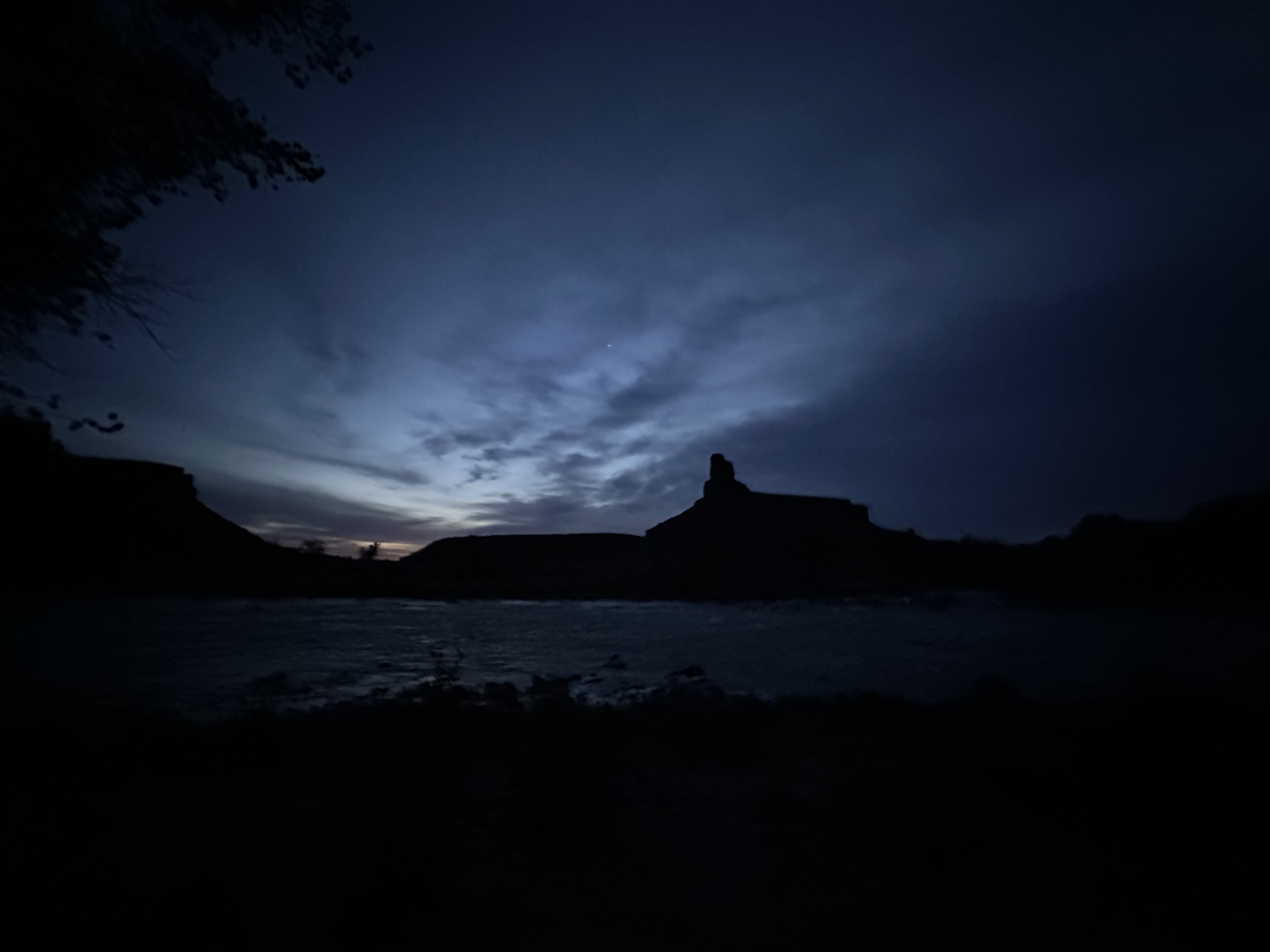
Field-memory moments that define this run.
Lowest water is when the river becomes a rumor with rocks in it. At this level, the crew is no longer floating so much as politely escorting boats through a mineral obstacle course while pretending the itinerary still has a relationship with reality.
Lower water is where inconvenience becomes technique. The river still offers a route, but only if the crew learns to read seams, lighten the boat, walk shallow drops, and stop treating rocks like background scenery.
A serious bear-safety briefing in the boathouse becomes an accidental full-room pepper-spray baptism when the demonstration can points toward the open door, the wind reverses, and everyone learns exactly how well bear spray works on river guides.
The river is still moving, but it has stopped being generous. Low water turns every clean line into a negotiation, every riffle into a personality test, and every boatman into someone who suddenly has strong opinions about six inches of depth.
A condor sighting turns the canyon into a cathedral with a nine-and-a-half-foot punchline overhead: huge, rare, ecologically important, and somehow immediately promoted to official scapegoat for every joke gone sideways in camp.
The failure modes and consequences that recur on this run, drawn from the field archive. Judgment and preparation, not fear.
What goes wrong
Consequence
What goes wrong
Consequence
What goes wrong
Consequence
What goes wrong
Consequence
Spring snowmelt from the Uinta and Wasatch ranges drives the best flows. The Green River gauge near the take-out (USGS 09315000) provides the most accurate planning reference. Florence Creek Rapid and Swasey's Rapid are the flow-sensitive features to watch.
Key Green River gauge paired with Cisco by Canyonlands National Park when interpreting Cataract Canyon runoff and big-water potential.
Primary planning gauge for Desolation/Gray private trips — located near the take-out.
The Green River at Green River, UT gauge (USGS 09315000) is located near the take-out and is the standard flow reference for both Desolation and Gray Canyon conditions.
Below 3,000 cfs: enjoyable float with manageable rapids; some technical maneuvering at Florence Creek; beaches are dry and expansive.
3,000–8,000 cfs: good whitewater throughout Gray Canyon; Florence Creek and Swasey's Rapid form well; classic canyon character.
Above 8,000 cfs: powerful wave trains and hydraulics; Florence Creek and Swasey's demand attentive lines; eddies smaller and landings require planning.
Water is snowmelt-influenced and can remain cold into May. By June, water temperatures warm to more comfortable levels for most swimmers.
Spring snowmelt from Uinta and Wasatch highlands drives April–June flows; low water persists through summer with brief fall recovery.
Runnable but slow and technical in places. More rock exposure.
Best conditions for most groups — good wave trains, defined lines, manageable consequence.
Experienced crews in strong craft. Powerful hydraulics and faster travel. Eddy access requires planning.
Gray Canyon takes its name from the buff and gray Mancos Shale and Green River Formation exposed in its walls — a striking contrast to the red Uinta sandstone visible in upper Desolation. These sedimentary layers preserve Eocene-era lake deposits and Cretaceous marine sediments rich in fossils and geological sequence.
Gray Canyon takes its name from the buff and gray Mancos Shale and Green River Formation exposed in its walls — a striking contrast to the red Uinta sandstone upstream in Desolation. The Mancos Shale is a Cretaceous marine deposit rich in invertebrate fossils; the overlying Green River Formation records Eocene lake history with its classic stacked oil-shale horizons. These sedimentary layers preserve a remarkable record of ancient inland seas and lakes.
Gray Canyon takes its name from the buff and gray Mancos Shale and Green River Formation exposed in its walls — a striking contrast to the red Uinta sandstone upstream in Desolation. The Mancos Shale is a Cretaceous marine deposit rich in invertebrate fossils; the overlying Green River Formation records Eocene lake history with its classic stacked oil-shale horizons. These sedimentary layers preserve a remarkable record of ancient inland seas and lakes.
The canyon riparian corridor narrows as the walls steepen, concentrating cottonwood-willow habitat along the immediate river margin. Gray is a productive wildlife observation zone, particularly for raptors nesting on the shale walls. The Price River confluence at the head of Gray Canyon introduces a distinct side drainage that influences downstream sediment character.
The canyon riparian corridor narrows as the walls steepen, concentrating cottonwood-willow habitat along the immediate river margin. Gray is a productive wildlife observation zone, particularly for raptors nesting on the shale walls. The Price River confluence at the head of Gray Canyon introduces a distinct side drainage that influences downstream sediment character.
The Tavaputs Plateau above Gray Canyon was home to Fremont culture people for centuries, and petroglyphs and historic ranch sites carry the corridor's human story. The lower canyon has been used for daily float trips since the early days of Green River-area river culture, and Swasey's Beach is one of the oldest recognized take-outs on the desert Green.
The Tavaputs Plateau above Gray Canyon was home to Fremont culture people for centuries. The Nine Mile Canyon drainage — entering Gray from the north — is one of the most significant petroglyph corridors in North America, with thousands of Fremont images along its length. Historic ranches and mining operations operated in the canyon area, and traces of this activity remain along the river corridor.
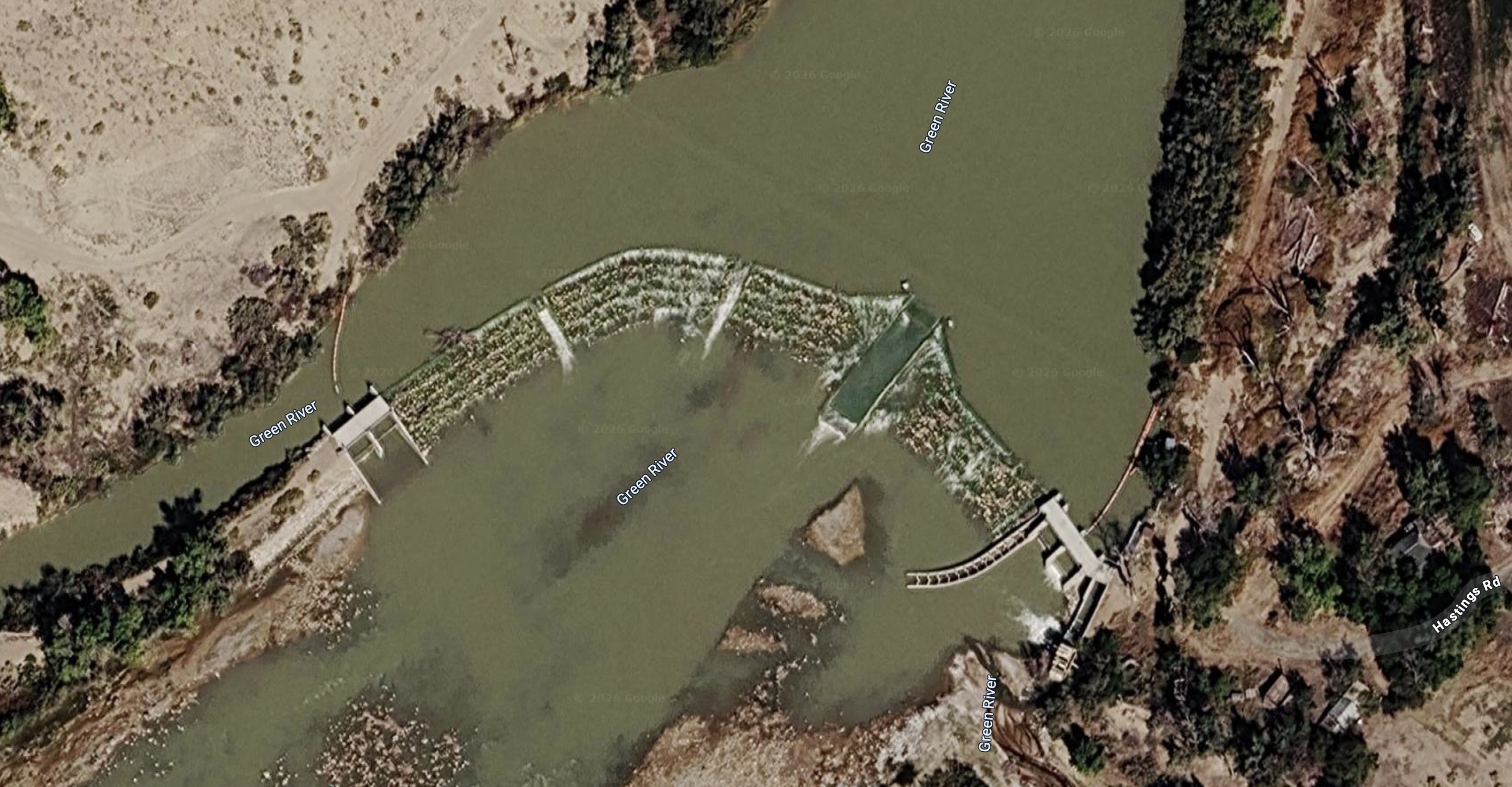
Gray Canyon has no standalone road access at its upper end — most trips launch from Sand Wash for the full Desolation-Gray experience, with take-out at Swasey's outside Green River, UT. The Nefertiti access point on the lower corridor allows day trips and abbreviated runs.
BLM boat ramp at the Desolation Canyon / Gray Canyon boundary on the Green River. Serves as the take-out for full Desolation Canyon trips and the put-in for Gray Canyon daily floats down to Swaseys. Drivable access from the Hastings Road / Nine Mile Canyon corridor.
Standard take-out for the Desolation/Gray trip near Green River, Utah. Adjacent beach/day-use infrastructure and take-out staging make this the practical end point for most private trips.
Sand Wash access requires a long drive via Nine Mile Canyon (Price and Myton). Swasey's take-out is via dirt road from Green River, UT — passable for most vehicles in dry conditions. Alternate Nefertiti access requires a shorter drive from Green River town.
Shared permit system with Desolation Canyon. Required for overnight trips. Lottery governs peak-season launch dates; shoulder season dates are typically available. Confirm current requirements and group size limits with BLM Price Field Office before launching.
The shared Desolation-Gray permit covers Gray Canyon. All permit compliance, equipment requirements, and group size rules apply throughout.
Gray Canyon rewards the same desert river kit as upper Desolation with greater whitewater emphasis — PFDs, throw ropes, and repair systems become more relevant as Class III rapids increase. Sun and shade systems remain critical. The section ends near Green River town, making a resupply turnaround feasible for shuttle vehicles.
Gray Canyon requires more active whitewater preparedness than upper Desolation — rescue systems, PFDs, and throw bags matter more as Class III rapids increase. The same expedition desert kit otherwise applies: shade, water, sun protection, camp kitchen.
Non-negotiable for this launch. Rangers may check for several of these at the put-in.
Field-tested picks that earn their place on this trip.
Not essential, but worth the boat space if you have it.
On a seven-day trip, you'll cook roughly 20 meals on a folding table in the sand. The constraint isn't ambition — it's ice management. Days one through three, you have real cooler capacity. Days four and five are the transition zone. Days six and seven are pantry cooking.
The best river cooks plan backward from the last night. If your final dinner is still good — not just edible, but genuinely good — the trip ends on a high.
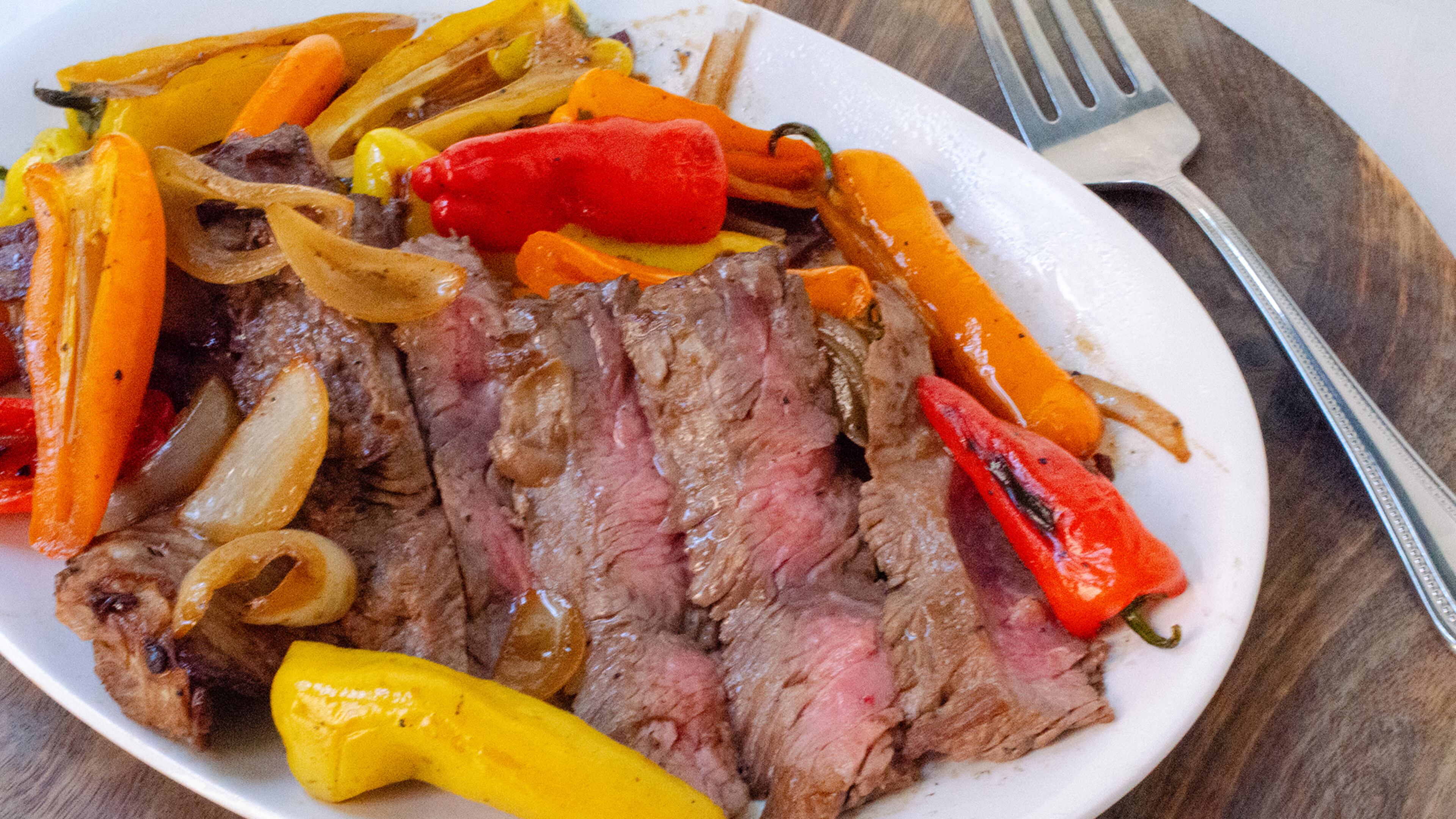
Night one. Fresh cooler. Cast iron over charcoal. The best steak you'll eat all week.

Marinated at home, grilled in camp. The best taco night on the river.
Real lasagna. Dutch oven. Day 3 of a river trip. It works.

One pot. Canned coconut milk. Twenty-five minutes. The transition meal.
Pizza dough holds for five days. Cast iron and charcoal do the rest.
Every ingredient is shelf-stable. Day 6 dinner that doesn't taste like day 6.
Canned beans. Rice. Cumin. Lime. Whatever's left. The last night done right.
The night-one showstopper. Thick-cut ribeyes seared in a screaming-hot cast iron over charcoal, with halved bell peppers and onions charring on the grate alongside. This is the meal you cook while the cooler is still cold and the group is still clean. Finish with flaky salt and a squeeze of lime. It takes ten minutes and sets the tone for the whole trip.
Salt the steaks before you set up camp — by the time you've rigged the kitchen, they've had their 30 minutes. The cast iron needs to be genuinely smoking before the first steak goes in. If it's windy, position the fire pan so you're shielded and the coals stay hot. In desert heat above 100F, pull steaks from the cooler only 10 minutes ahead — they'll come to temp fast. Keep a spray bottle of water nearby for flare-ups from the dripping fat.
Pre-marinated chicken thighs grilled over charcoal, sliced thin, and piled into warm flour tortillas with crunchy cabbage slaw and crumbled cotija. The marinade does all the work at home — lime, cumin, garlic, and green chile — so in camp you just grill and assemble. This is the meal that makes people stop what they're doing and walk over to the kitchen.
The key to this recipe is the frozen marinade bags. They keep the cooler cold on day 1 and produce perfectly thawed, deeply marinated chicken by day 2. If it's extremely hot (105F+), check the bags on the morning of day 2 — they may thaw faster than expected. Don't skip the towel for the tortillas; they go from warm and pliable to stiff and cracked in two minutes of desert air. If it's windy, the charcoal will burn hot and fast — watch for flare-ups from the marinade dripping.
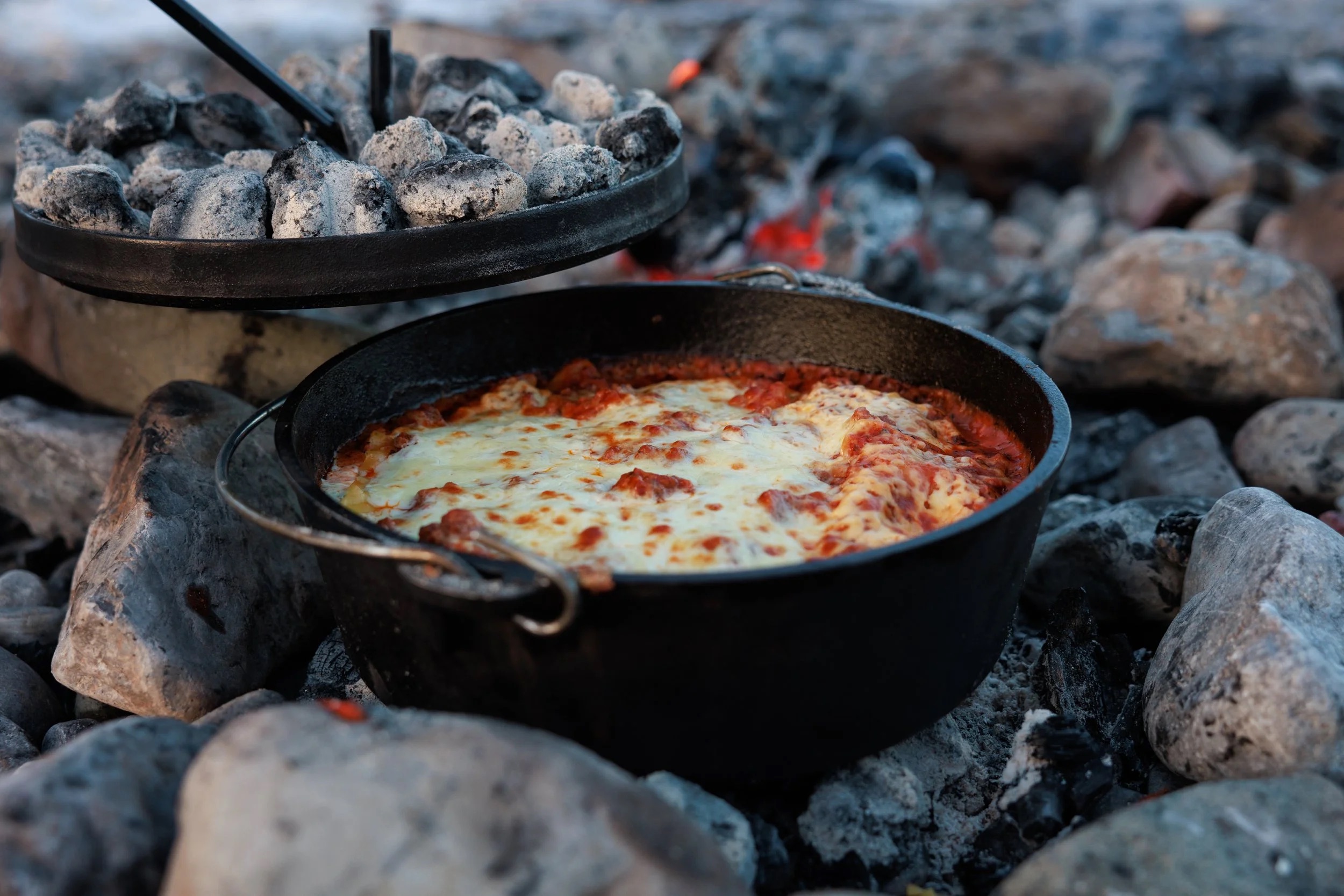
Proper lasagna built in a 12-inch Dutch oven over charcoal. Layer no-boil noodles, pre-made meat sauce (frozen flat in gallon bags at home), ricotta, and mozzarella. Charcoal on top and bottom, 45 minutes, and you pull out something that shouldn't be possible at a sandbar camp. The meat sauce freezes flat and doubles as an ice pack for the first two days.
The coal ratio is everything. Too many coals on the bottom and you'll scorch it. Roughly 1/3 underneath, 2/3 on top. In windy conditions, position the fire pan in a sheltered spot — wind cools coals unevenly and you'll get hot spots. If you're cooking on sand, clear the area thoroughly first; sand gets everywhere when the wind picks up, and nothing ruins lasagna like grit. Bring a lid lifter or channel-lock pliers — the lid will be 400 degrees. Start the charcoal earlier than you think. Dutch oven cooking always takes longer than expected, and hungry river people get impatient.
A one-pot curry that comes together in 25 minutes on a propane stove. Canned coconut milk, Thai curry paste, and pre-cut vegetables over rice. By night 4, the cooler is thinning out and the pantry starts pulling weight — canned coconut milk and curry paste do all the heavy lifting here. The vegetables just need to be crisp-tender. This is the meal that proves one-pot cooking doesn't have to taste like compromise.
This recipe is almost wind-proof because it's all in a pot with a lid. The propane stove handles it better than charcoal. The key mistake people make is adding all the vegetables at once — carrots need a head start or they'll be raw while the snap peas turn to mush. If you only have one burner, cook the rice first, set it aside covered (it holds heat for 20 minutes), then make the curry. In cold weather (below 50F), the coconut milk may have solidified in the can — it melts fast once heated, but give it an extra minute.
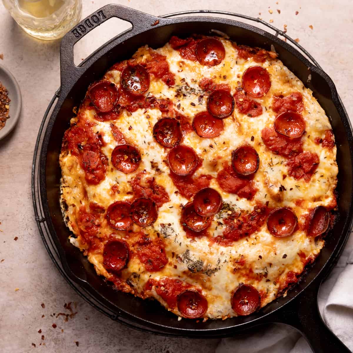
Real pizza made in a cast iron skillet over charcoal. Press pre-made dough into an oiled skillet, top with canned San Marzano sauce, hard salami, olives, and parmesan, then cover and cook over charcoal for 12 minutes. The bottom gets crisp and almost fried in the oil while the lid traps heat to melt the cheese. Make 3-4 pizzas to feed 8. The dough is made at home and keeps 4-5 days in the cooler — this is a day-5 meal built on foresight.
The oil in the skillet is non-negotiable. It prevents sticking and creates the fried-bottom texture that makes this work. Don't skimp. The dough will fight you if it's cold — let it warm up for 10 minutes before pressing. If it springs back, let it rest 5 more minutes. People will crowd the kitchen for pizza night, which is great for morale but means you need a system: one person on dough, one on toppings, one managing coals. Batch cooking takes an hour — serve each pizza as it comes out instead of waiting for all four. In wind, the coals cool quickly between pizzas. Keep extra lit coals ready.
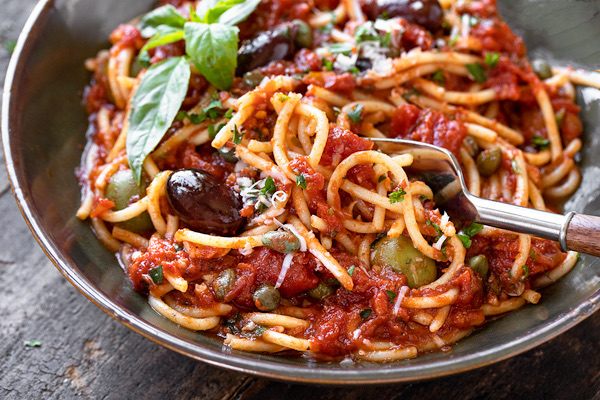
The ultimate pantry meal. Every single ingredient is shelf-stable: canned tomatoes, olives, capers, anchovies, garlic, red pepper flakes, dried pasta. No cooler required. Boil pasta in filtered river water, make the sauce in another pot, combine. Fifteen minutes of active cooking and you have a dinner that tastes like you planned it, not like you ran out of options. This is the recipe that proves the last nights of a trip don't have to be sad.
This is the most reliable recipe in the entire trip menu. Nothing can go wrong with the ingredients — they're all shelf-stable and nearly indestructible. The one thing to watch is the pasta water. At elevation (Desolation Canyon is around 4,500 feet at put-in), water boils at a lower temperature and pasta takes slightly longer to cook. Taste it. On a single-burner stove, boil the pasta first, drain it, then make the sauce in the same pot to save fuel. The olives and capers provide so much salt that you probably won't need to add any to the sauce — taste first.
The last-night staple. Canned black beans seasoned with cumin and lime over rice, topped with whatever survives the trip — cheese rinds, crisped tortilla strips, pickled jalapeños, hot sauce. This is the meal that asks nothing of the cooler and everything of the pantry. It's cheap, fast, filling, and the toppings make it feel like a real dinner instead of a concession. Every trip ends here, and nobody complains.
This meal is intentionally designed to absorb scraps. Take inventory of the cooler and dry boxes before you start — whatever is left becomes a topping. Cheese rinds that would be trash at home become crispy bits when grated and scattered over hot beans. Stale tortillas become croutons when fried. The cumin and lime do the real work; without them, it's just beans and rice. With them, it tastes intentional. On cold last nights, this warm bowl is exactly what people want before the takeout drive home. If you have a second burner, heat the beans and cook rice simultaneously. Single-burner: cook rice first, set aside, then do the beans.
Two coolers, segregated by access frequency. A well-managed deep cooler will hold usable ice through day 6 in 100°F air temps.
Learn about ice managementFolding table, two-burner propane stove, cast iron skillet, Dutch oven, and a large pot. The Dutch oven is the single most versatile piece.
Learn about kitchen setupBooks that shape the science, history, and stories behind this place.
An accessible introduction to the rock layers, canyon formation, and landscapes of the Colorado Plateau and canyon country.
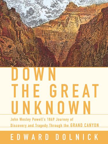
The dramatic story of John Wesley Powell's first expedition through the Grand Canyon and the birth of river exploration in the American West.

A foundational scientific text on river geomorphology, covering sediment transport, channel form, fluvial dynamics, and the physical processes that shape river systems.

A geological exploration of Utah’s major river systems explaining how tectonics, sedimentation, and erosion shaped the canyon landscapes of the Colorado Plateau and surrounding regions.
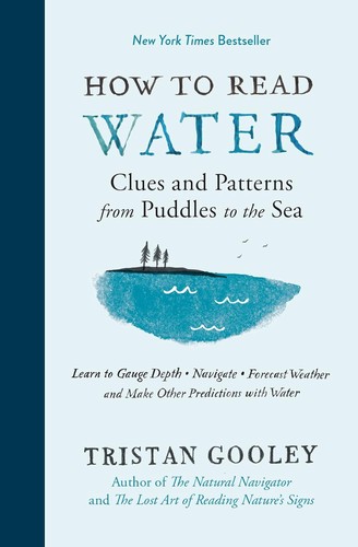
A guide to understanding the subtle clues in water movement—from puddles and rivers to oceans—teaching readers how currents, waves, surface textures, and patterns reveal information about wind, depth, obstacles, and landscape.
A rigorous, university-level introduction to physical hydrology covering the full water cycle — precipitation, evapotranspiration, infiltration, groundwater, runoff generation, and streamflow — with quantitative methods throughout. The scientific foundation for understanding how rivers work at the watershed scale, from snowpack in the Rockies to baseflow in canyon rivers.
A rigorous graduate-level treatment of river hydraulics and sediment transport, covering flow resistance, bedforms, channel stability, and the physical mechanics that govern river behavior.
A comprehensive guidebook to whitewater rivers in Utah and neighboring regions, covering river access, rapids, flow considerations, trip logistics, and historical context for river runners.
A key geological reference for understanding the uplift, stratigraphy, tectonics, and erosional history of the Colorado Plateau.
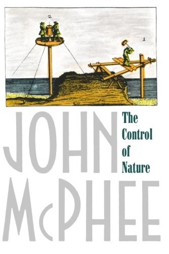
Three deeply reported narratives about humanity's attempts to stop rivers, lava, and debris flows — and what the land does in return. A masterwork of geological journalism that asks whether nature can ever truly be controlled.
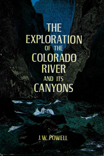
Powell's original account of the first scientific expedition through the Grand Canyon, documenting the geology, natural history, and challenges of navigating the unknown Colorado River.
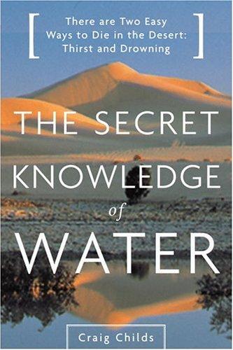
Craig Childs explores the hidden water sources and desert hydrology of the American Southwest, revealing how water shapes and sustains life in the most arid landscapes on Earth.
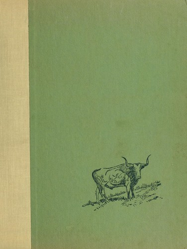
A historical portrait of the ranching and outlaw culture of Browns Park and the remote canyons of the Colorado Plateau, illuminating how geography shaped the final stronghold of the old frontier.