Green River
The Green is the Colorado's longest tributary — 730 miles from Wyoming's Wind River Range through canyon gorges, wilderness flatwater, and the Confluence in Canyonlands. · WY · CO · UT
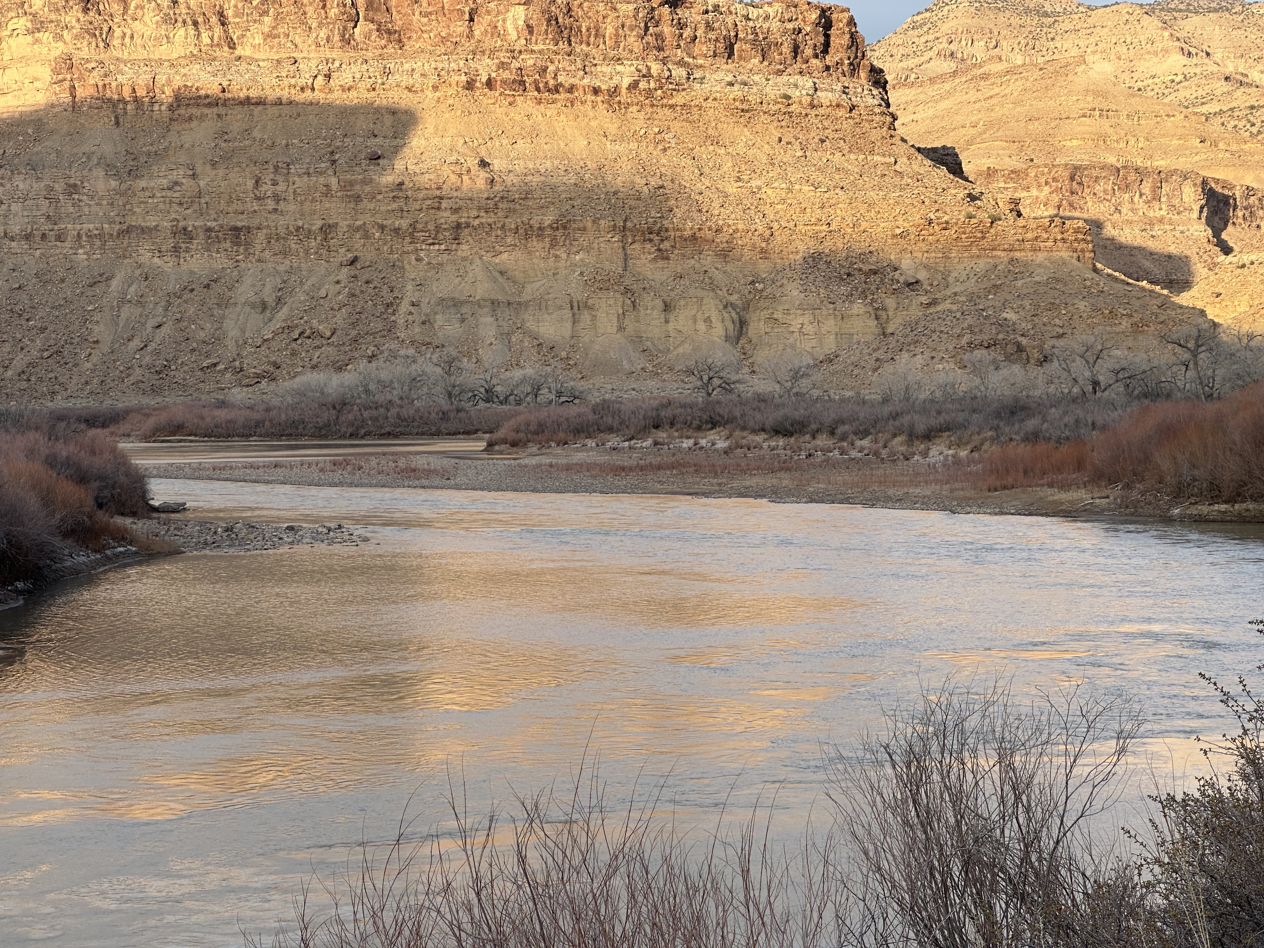
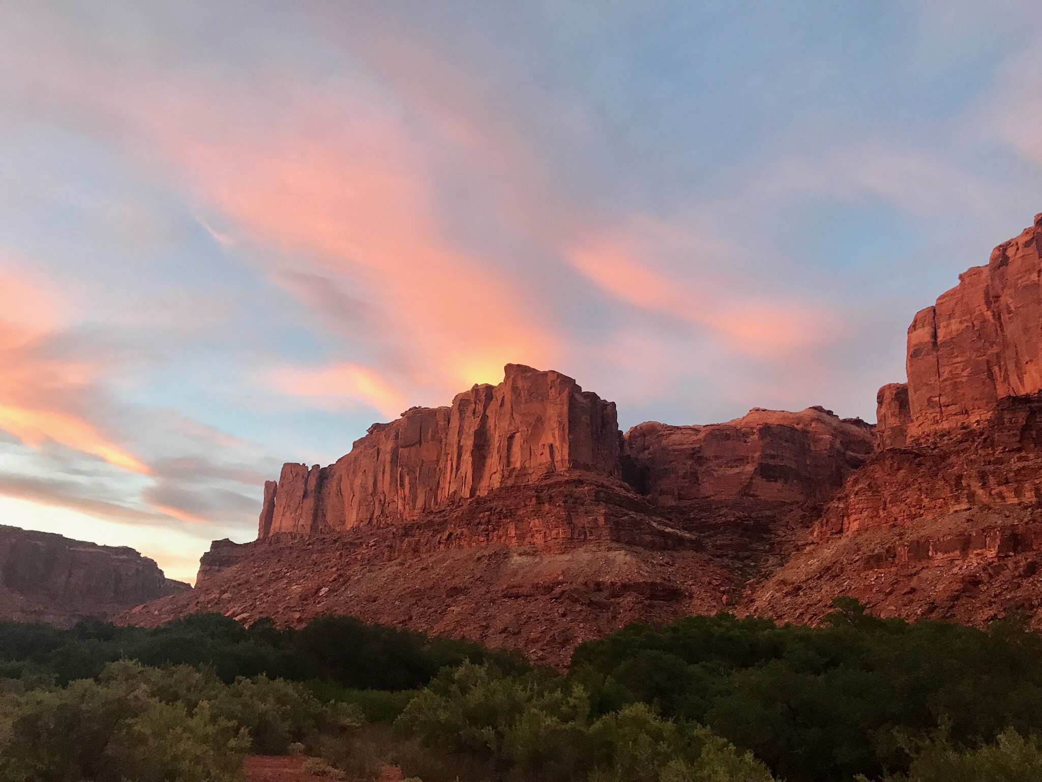
The Green River is the longest tributary of the Colorado River and the primary feeder of the Colorado Plateau’s canyon system — 730 miles from its headwaters in the Wind River Range of Wyoming to the Confluence in Canyonlands National Park. More than any other river in the American West, the Green defines what a desert river journey means: long days on wide, quiet water between walls of Navajo and Wingate sandstone, broken by canyon gorges that arrive without warning and demand full commitment. Canyon of Lodore, with its pool-drop whitewater and sheer Precambrian walls, is the fierce northern chapter. Desolation Canyon — 97 miles without a road crossing — is the longest wilderness river canyon in the Lower 48. Labyrinth and Stillwater are the quiet final miles, where the river slows to a canyon lake, and the water moves with the certainty of something that has always known where it was going. Partially regulated by Flaming Gorge Dam since 1964, the Green retains more free-flowing character than the Colorado, and its seasonal windows, permit logistics, and canyon character are the heart of Desert Maritime’s river intelligence.
Signature Experiences
- 97-mile Desolation Canyon — the longest roadless canyon in the Lower 48
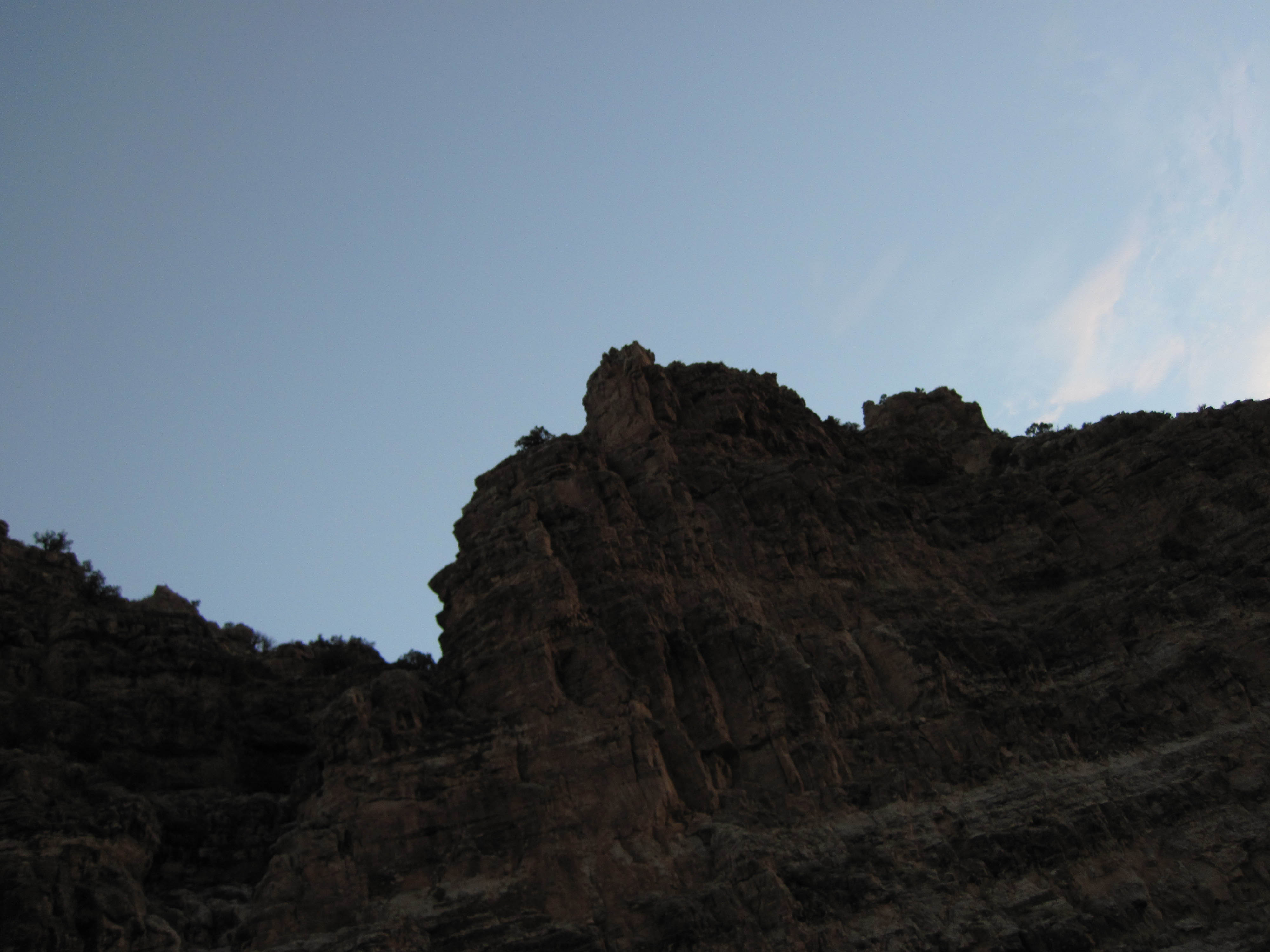
- Canyon of Lodore whitewater through 2,000-foot Precambrian walls
- Labyrinth Canyon multi-day flatwater — motorless, remote, canyon silence
- The Confluence — meeting point with the Colorado at the heart of Canyonlands
- Echo Park — where Yampa and Green meet beneath Steamboat Rock, the ghost of the proposed dam
16 sections, 730 miles
Seedskadee
Seedskadee doesn't belong on the same list as Cataract Canyon or the Grand Canyon, and that's...
A Section
Seven miles of cold, clear tailwater through Red Canyon below Flaming Gorge Dam — extraordinary...
B Section
Nine miles of dam-regulated tailwater from Little Hole to Indian Crossing — the transition reach...
Swallow Canyon
Swallow Canyon is a cold, clear, and accessible 8-mile float below Flaming Gorge Dam — regulated...
Browns Park
A quiet, wildlife-rich valley float through outlaw country — Browns Park delivers 35 miles of easy...
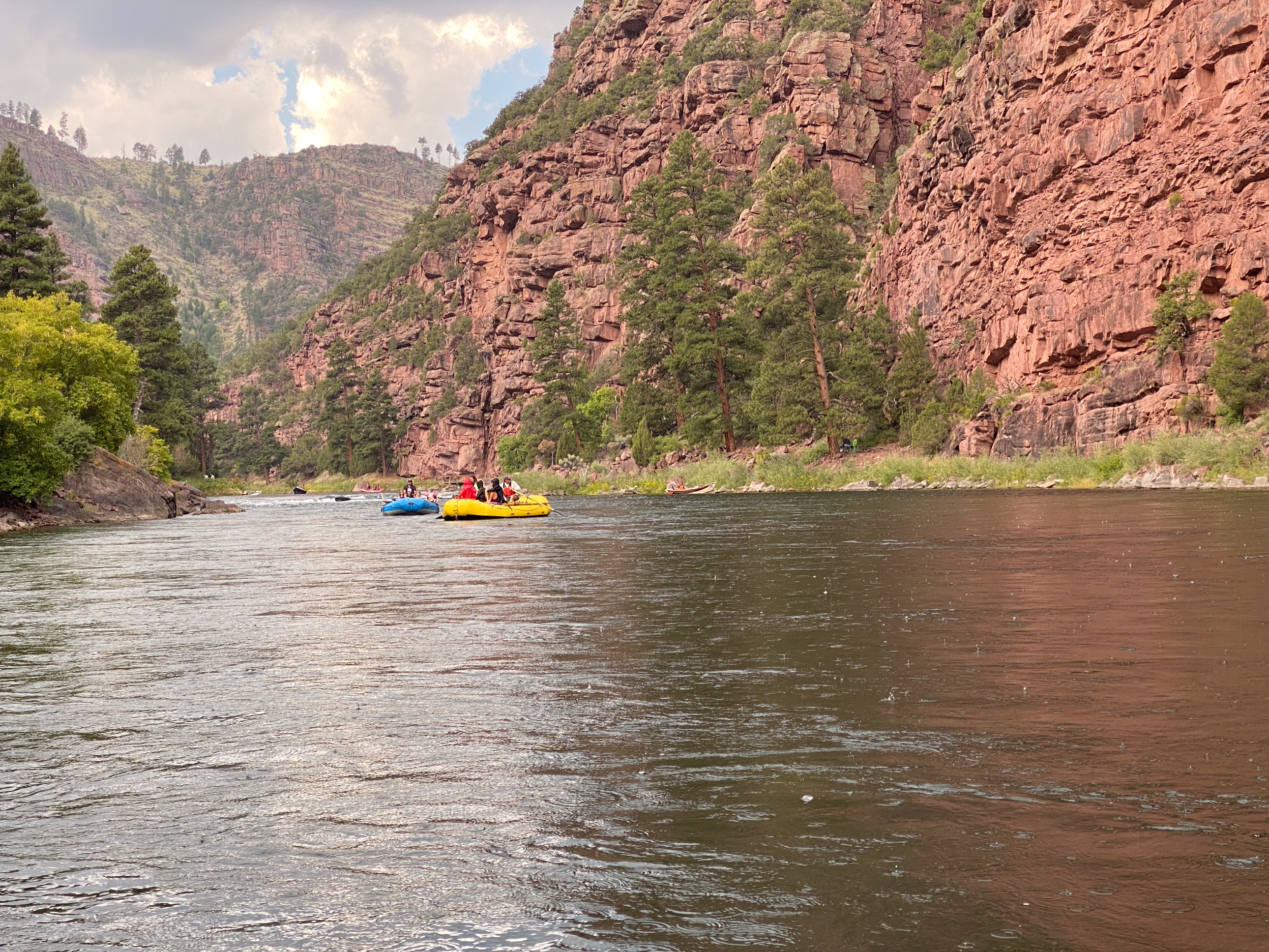
Lodore Canyon
Lodore compresses everything that matters about western river running into seventeen miles. The...
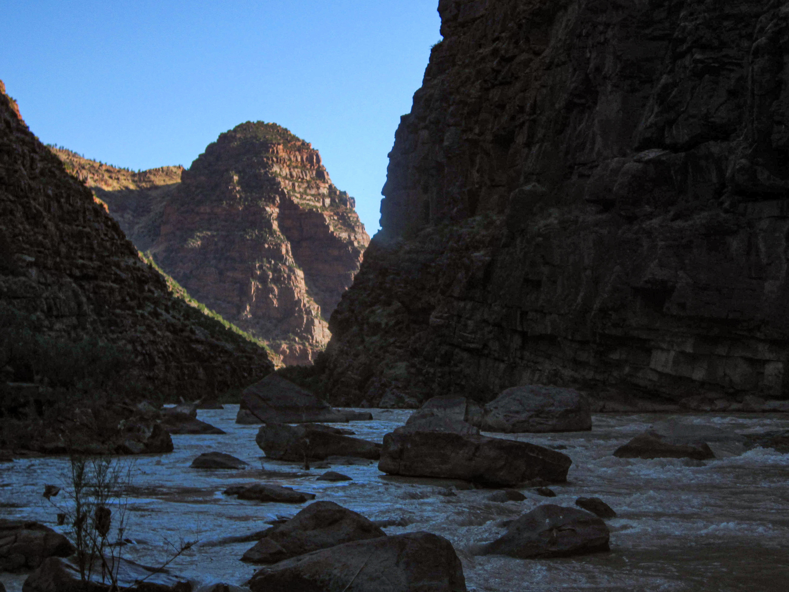
Whirlpool Canyon
Whirlpool Canyon is the middle chapter of the Dinosaur river system — 16 miles of Class III...
Island Park
Eight miles of broad, island-dotted valley between Whirlpool and Split Mountain — the open landscape...
Rainbow Park
Rainbow Park is a brief cottonwood valley interlude between Whirlpool and Split Mountain — a mellow...
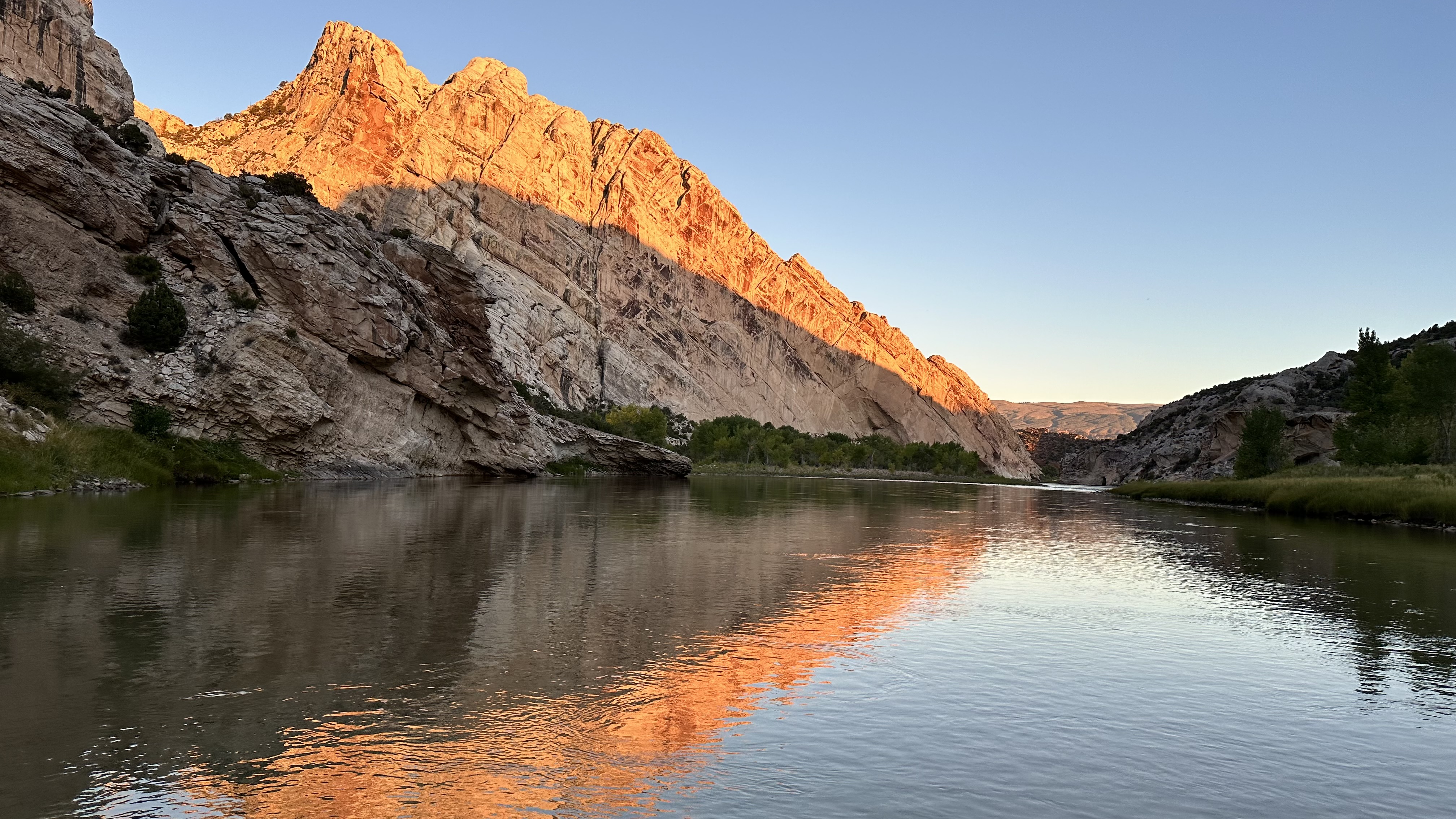
Split Mountain
Split Mountain is the Green River's most concentrated whitewater — 9 miles punching through a...
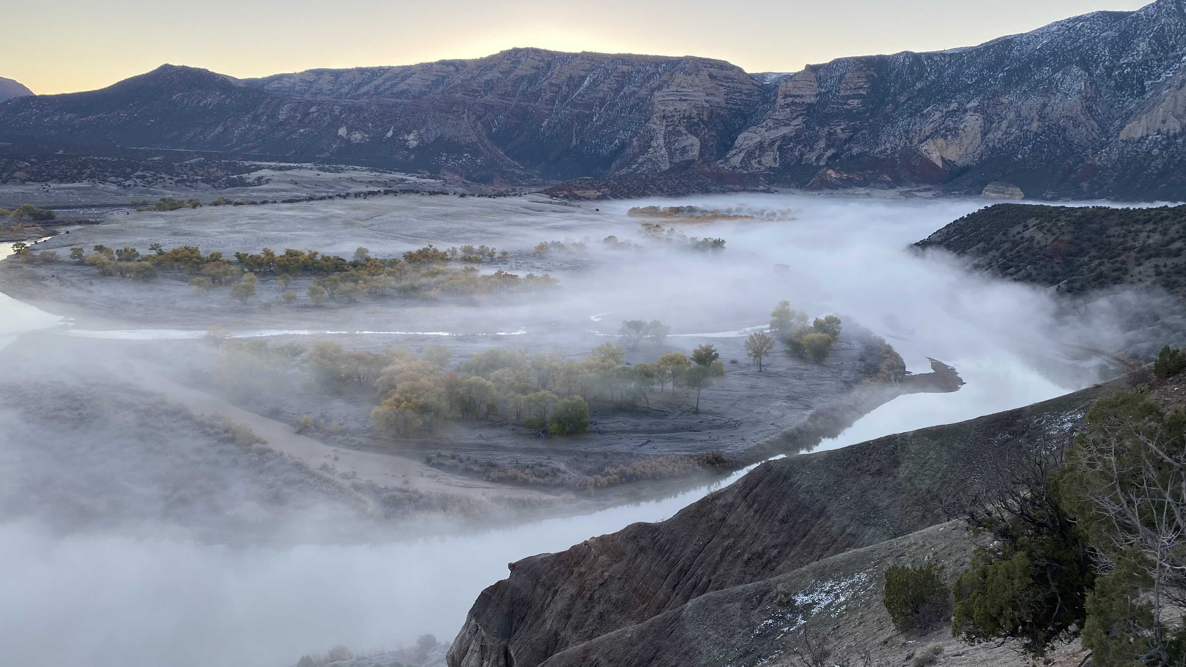
Uintah Basin
About 100 miles of slow, open-country flatwater between Dinosaur National Monument and Sand Wash —...
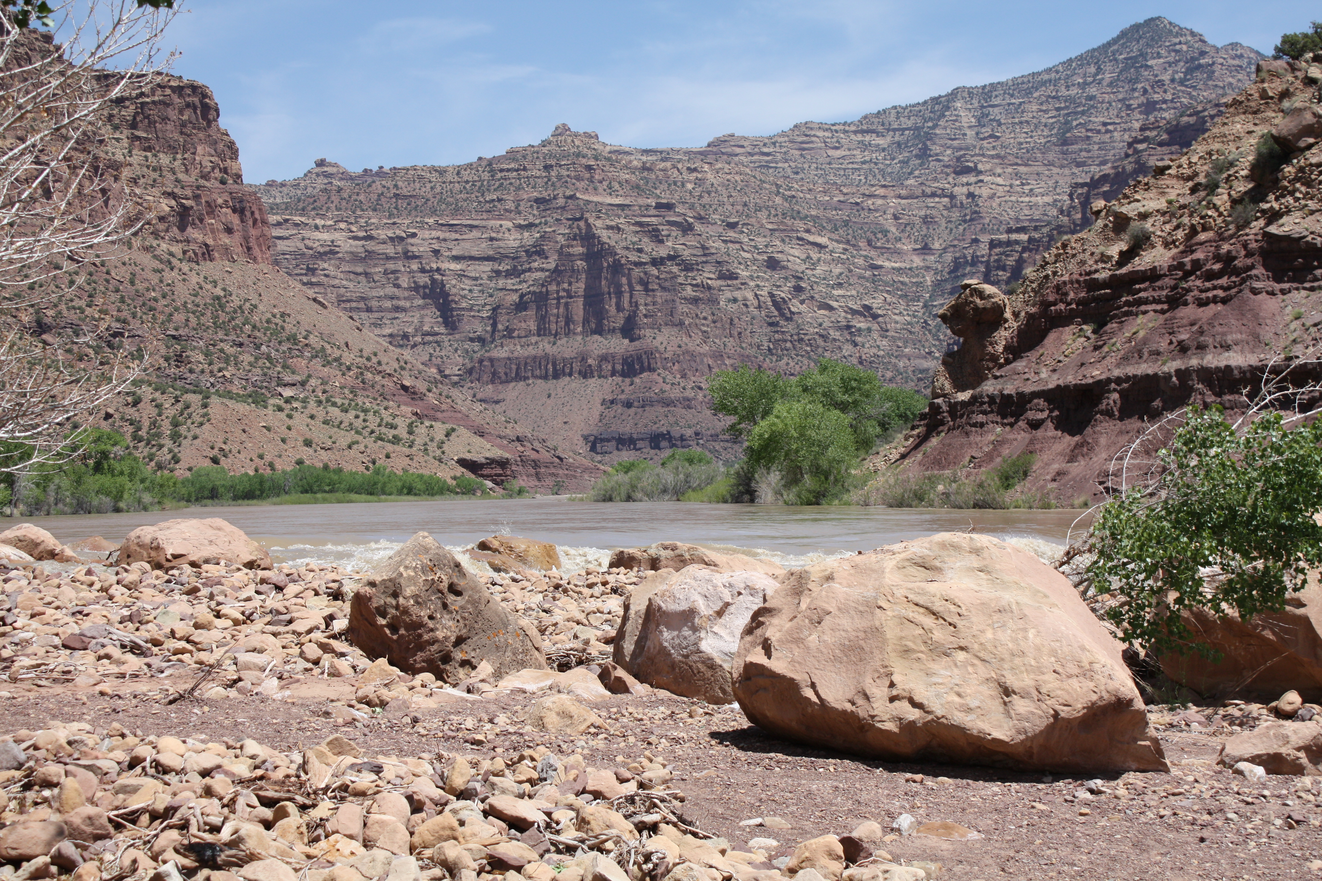
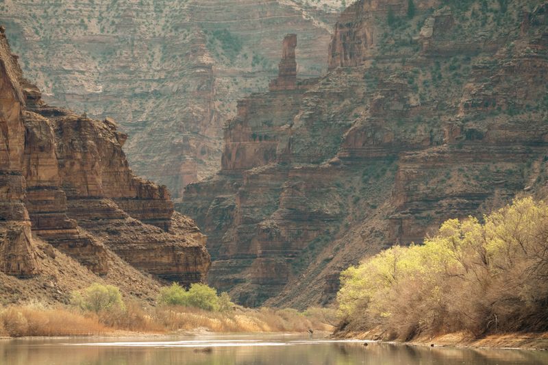
Desolation Canyon
Desolation is less about the rapids than about the accumulation of days inside something enormous....
Gray Canyon
Gray Canyon is the whitewater-dense lower chapter of the Desolation-Gray run — 25 miles of Class...
Green River Town Reach
Ten miles of flatwater through the broad valley of Green River, Utah — the connecting reach between...
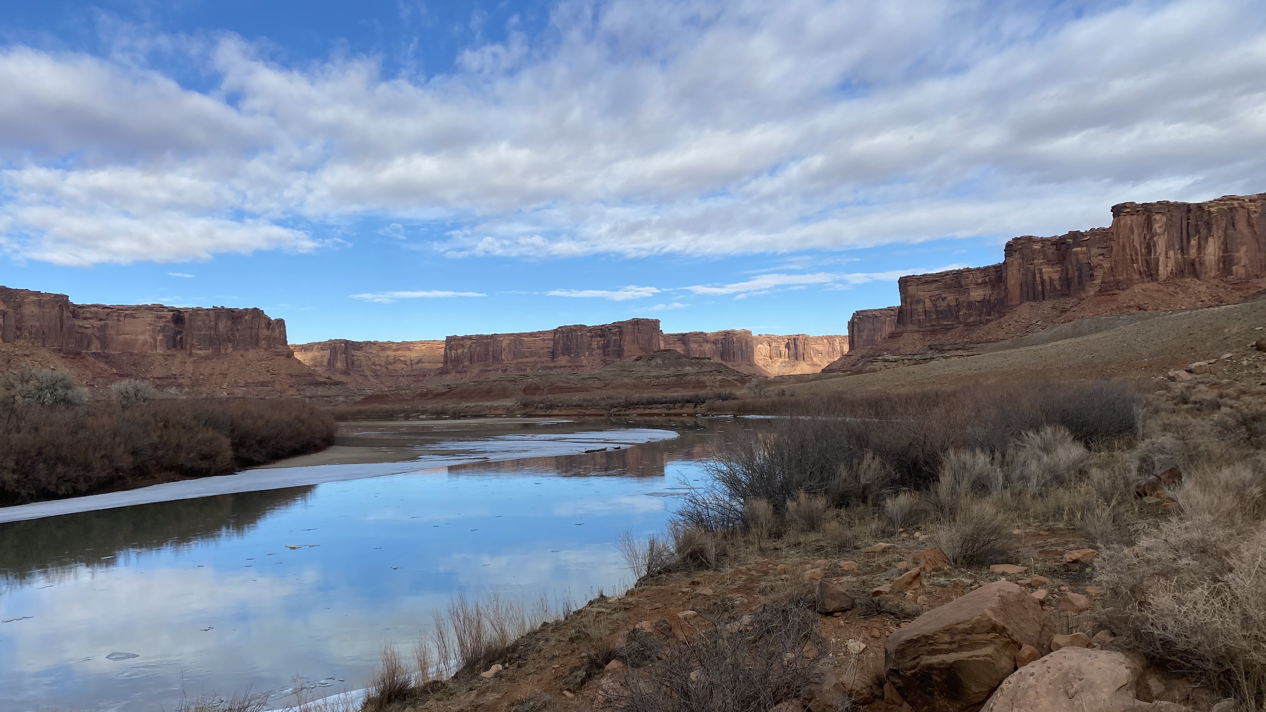
Labyrinth Canyon
Labyrinth is the Green River's argument that a canyon doesn't need rapids to be serious. Sixty-eight...
Stillwater Canyon
Stillwater Canyon is the Green River's most remote flatwater journey — 52 miles of deep, quiet water...
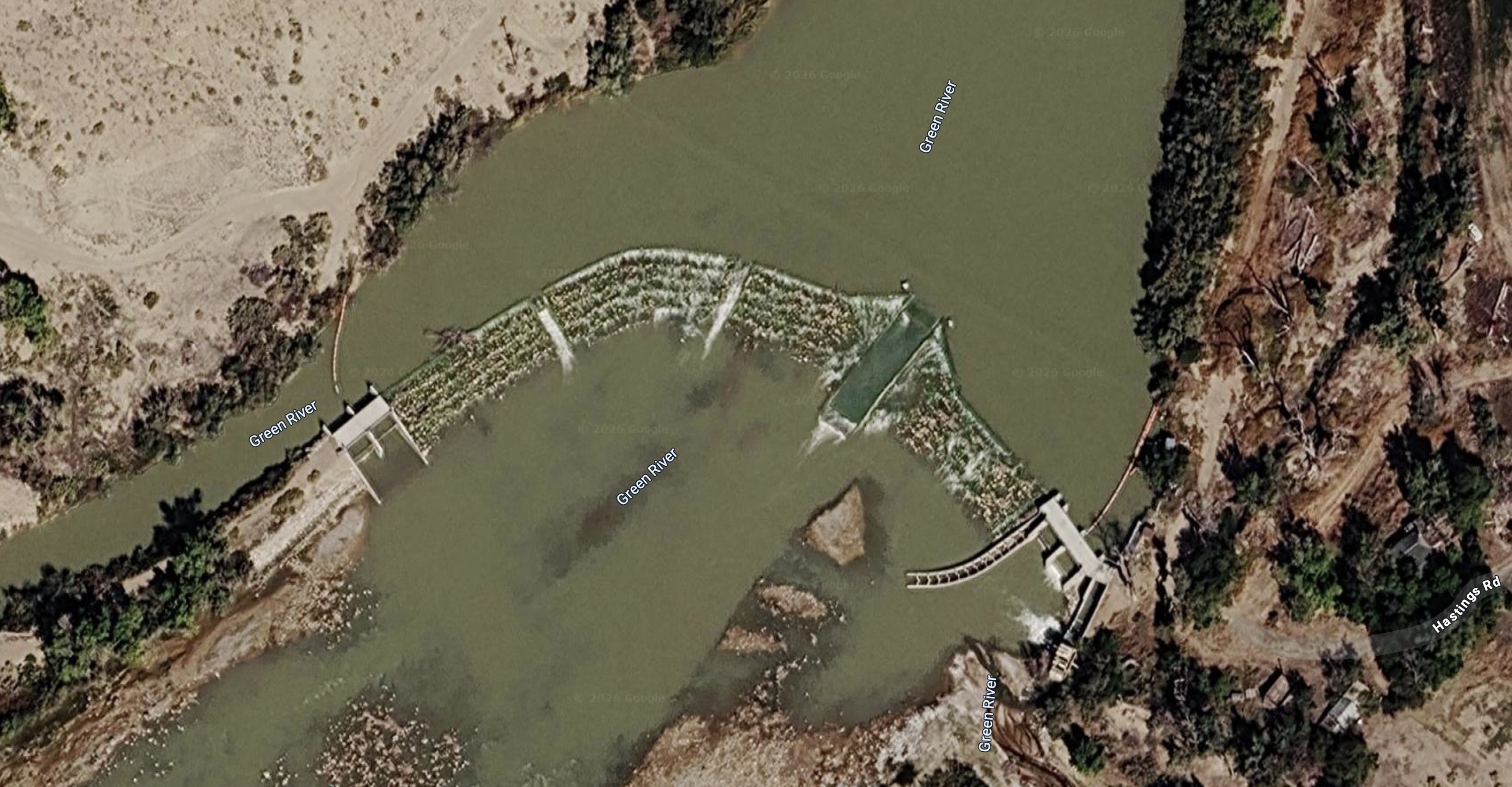
partially regulated — Flaming Gorge Dam (1964) controls the upper reach; below Jensen, UT the river flows without further major dams to the Confluence
Green River near Greendale, UT
Historical Green River gauge above Flaming Gorge reservoir area. Primary reference for Lodore Canyon and Gates of Lodore trip planning when used in context with current downstream releases.
Current flow — Green River near Greendale, UT
Green River at Jensen, UT
Primary operational gauge for planning Split Mountain Canyon floats. Located near Jensen, UT, below Dinosaur National Monument, this gauge integrates snowmelt from the Uinta Basin watershed and is the most direct reading for Split Mountain and lower Lodore trip planning.
Current flow — Green River at Jensen, UT
Green River at Green River, UT
Key Green River gauge paired with Cisco by Canyonlands National Park when interpreting Cataract Canyon runoff and big-water potential.
Current flow — Green River at Green River, UT
The Green has distinct seasonal windows by section. Canyon of Lodore and Split Mountain are regulated by Flaming Gorge Dam and run May–June for peak flows; July–August is possible but hot and crowded. Desolation and Gray Canyons are best May–September with peak character in May–June runoff; the canoe-paddle sections (Labyrinth, Stillwater) are best April–October with peak weather in May and September–October. Summer heat in the lower canyon sections (Labyrinth/Stillwater) can exceed 105°F. Fall is superb throughout — lower flows, warm days, near-total solitude.
The Green River passes through some of the most geologically diverse terrain in North America. In Canyon of Lodore, it cuts through Precambrian Uinta Mountain quartzite — among the oldest exposed rocks on the Colorado Plateau. Through Desolation Canyon, it erodes soft Cretaceous and Tertiary sediments creating the largest roadless canyon in the contiguous United States. The river's course through the Uinta Mountains — an east-west trending Precambrian range unique in the Rockies — was established before the range's uplift began, allowing the river to cut downward through rising terrain in a classic antecedent drainage pattern.
Age range: Proterozoic (1.0–1.1 Ga quartzite) through Cenozoic (Eocene basin fill)
The Green River is critical habitat for all four federally listed endangered native Colorado River fish. The stretch from Flaming Gorge Dam to the Confluence is subject to active recovery programs coordinating releases, flow management, and habitat restoration. The cold, clear tailwater below Flaming Gorge Dam contrasts sharply with the warmer, silty flow that native fish evolved in — dam operations represent an ongoing tradeoff between the reservoir sport fishery and native species recovery downstream.
Notable Expeditions
- Powell Green River Expedition
- Powell Second Expedition
- Ashley Fur Trade Expedition