River Runners' Guide to Utah and Adjacent Areas
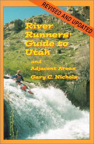
A comprehensive guidebook to whitewater rivers in Utah and neighboring regions, covering river access, rapids, flow considerations, trip logistics, and historical context for river runners.
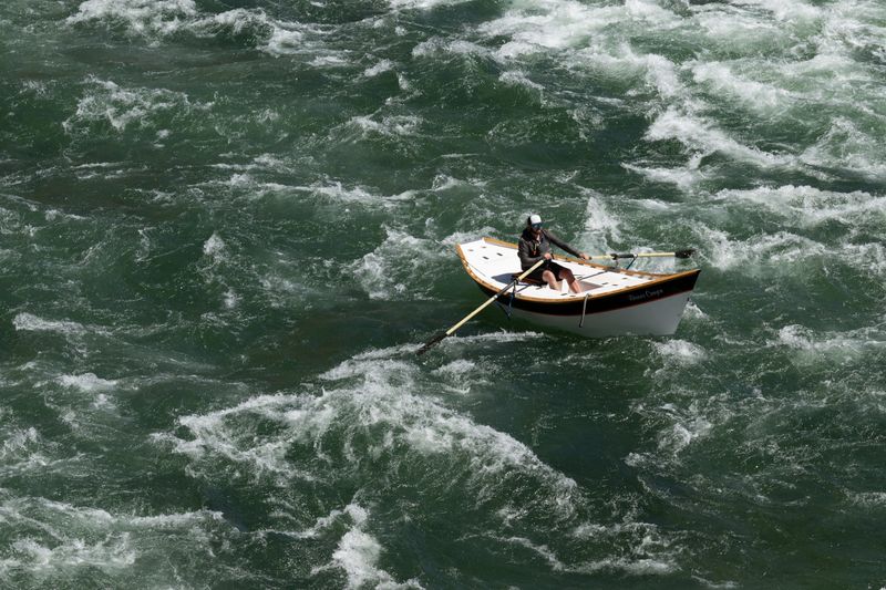
Nine miles from Little Hole to Indian Crossing — fewer anglers, bigger fish, and the canyon opening into Browns Park.
Nine miles of dam-regulated tailwater from Little Hole to Indian Crossing — the transition reach where the Green leaves Red Canyon and opens into Browns Park.
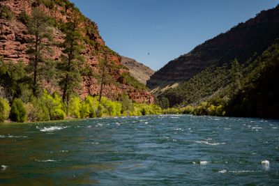
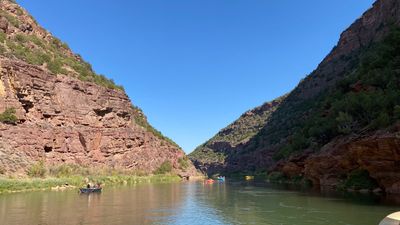
The B Section of the Green River runs 9 miles from Little Hole to Indian Crossing in upper Browns Park. Moderate gradient with fewer anglers than the A Section — access is limited to boat and a long gravel road. As the river leaves Red Canyon and enters the open valley of Browns Park, the fish population thins but the average size increases dramatically. Tales of 25-inch browns are not exaggerated. The canyon walls drop away and the river braids through cottonwood bottoms and sage flats. This is the section where the Green starts feeling like a western river instead of a tailwater.
Historical Green River gauge above Flaming Gorge reservoir area. Primary reference for Gates of Lodore trip planning when used in context with current downstream releases.
USGS #09234500Below 800 cfs: slow tailwater float with exposed gravel; the reach fishes well and reads as flatwater between Washboard and Red Creek.
800–3,000 cfs: the reach's normal character — steady current, defined riffles at Washboard and Red Creek Rapids, comfortable travel between camps.
Above 3,000 cfs: pushy and fast, with eddy lines that demand attention and cold-water immersion risk elevated. Lower riverside camps can be affected.
Cold year-round — roughly 40–50°F, drawn from deep in the reservoir. This is a dam-release tailwater, not a seasonal river: dress for immersion in every season.
↑ Rim
↓ River level
Boat-only between ramps; long gravel road approach to Indian Crossing. Cold water year-round.
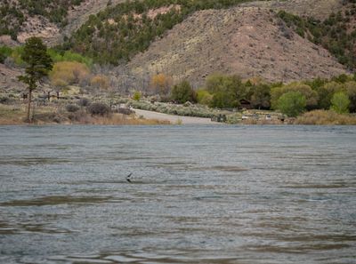
No permit required for the float, the same regime as the A Section immediately upstream — both reaches sit in the Flaming Gorge National Recreation Area below the dam. Boating regulations apply within the NRA; anglers need a Utah fishing licence. Overnight camping on this reach uses the established riverside camps and campgrounds between Little Hole and Indian Crossing.
On a seven-day trip, you'll cook roughly 20 meals on a folding table in the sand. The constraint isn't ambition — it's ice management. Days one through three, you have real cooler capacity. Days four and five are the transition zone. Days six and seven are pantry cooking.
The best river cooks plan backward from the last night. If your final dinner is still good — not just edible, but genuinely good — the trip ends on a high.
Two coolers, segregated by access frequency. A well-managed deep cooler will hold usable ice through day 6 in 100°F air temps.
Folding table, two-burner propane stove, cast iron skillet, Dutch oven, and a large pot. The Dutch oven is the single most versatile piece.
Books that shape the science, history, and stories behind this place.
A comprehensive guidebook to whitewater rivers in Utah and neighboring regions, covering river access, rapids, flow considerations, trip logistics, and historical context for river runners.
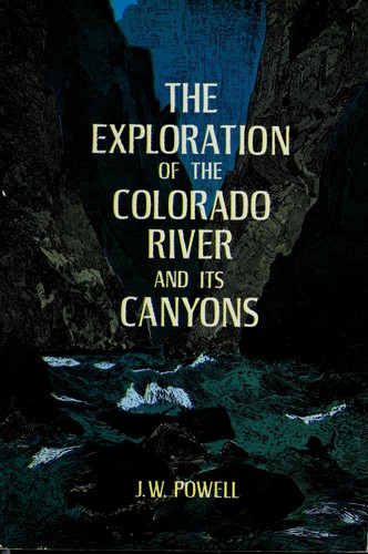
Powell's original account of the first scientific expedition through the Grand Canyon, documenting the geology, natural history, and challenges of navigating the unknown Colorado River.