Cataract Canyon
An in-depth environmental and human history of Cataract Canyon and the rivers of Canyonlands, exploring Indigenous presence, exploration, dam impacts, river ecology, and the evolution of modern river running.
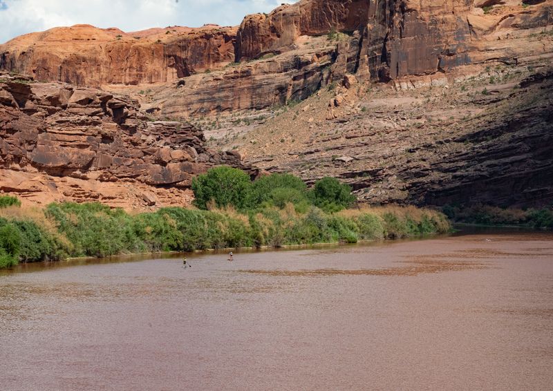
10-mile Class I float from Take Out Beach through Moab to the US-191 Moab Bridge, with seven BLM campgrounds along UT-128.
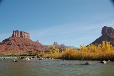
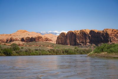
The 9.9-mile reach from Take Out Beach downstream through the lower Highway 128 corridor and past the town of Moab to the Moab Bridge (US-191). Seldom floated as a standalone trip because most Moab Daily parties exit at Take Out Beach upstream; the reach is instead used as an extension for paddlers continuing through town toward The Portal and Potash, or as a shorter float from Big Bend — the stretch outfitters rent as "Big Bend to the Moab Bridge". Class I flatwater throughout, with one small wave train at Big Bend Rapid. It carries most of the BLM campgrounds of the Colorado Riverway corridor: Big Bend, Upper Big Bend, Oak Grove, Hal Canyon, Drinks Canyon, Grandstaff and Goose Island.
USGS gauge measuring discharge and gage height on the Colorado River at Potash, UT — downstream of the Moab valley and upstream of the Confluence. Reads the Colorado’s contribution at the Potash put-in; sum it with the Green at Mineral Bottom for the combined flow that reaches Cataract Canyon.
USGS #09185600Below 2,500 cfs some gravel-bar exposure; still easily runnable.
4,000-15,000 cfs is typical; relaxed flatwater float.
Above 20,000 cfs the current runs quick and through-town banks can have swirling eddies.
The Moab Valley is a classic collapsed-salt-anticline valley formed by dissolution of Paradox Formation salt deep below. As the river exits the Moab Valley at the Moab Bridge, the canyon walls constrict at The Portal — the geologic 'opening' where the Colorado re-enters a narrow-wall canyon. Jackass Canyon itself is one of the minor side drainages on this reach; Grandstaff Canyon is a larger tributary entering near Grandstaff Campground.
↑ Rim
↓ River level
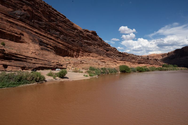
Jackass is a managed corridor more than a wilderness one. The reach sits inside the BLM Colorado Riverway Recreation Area, with a string of designated riverside campgrounds lined up along UT-128 from Take Out Beach down to the Moab Bridge. The larger tributary at mile 67 is Grandstaff Canyon, renamed in 2017 for William Grandstaff, a Black rancher who ran cattle there in the late 1870s. Today the stretch reads as a working day-use and through-town reach rather than an expedition objective.
This section lies within the BLM Colorado Riverway Recreation Area, a managed day-use and camping corridor along UT-128 between Take Out Beach and the Moab Bridge. The largest tributary on the reach, entering river-left near Grandstaff Campground at roughly mile 67, is Grandstaff Canyon, renamed in 2017 for William Grandstaff, a Black rancher who ran cattle there in the late 1870s; its previous official name was a racial slur retired by the US Board on Geographic Names. Designated riverside campgrounds concentrate modern recreational use along the highway-paralleled banks. Renamed from "Jackass Canyon" 2026-09-02 (owner). That name was a Desert Maritime coinage — no external source uses it for this reach. American Whitewater treats the water as the tail of "16. Cisco (Rose Ranch) to Moab (Professor Valley)", BLM manages it as part of the Colorado Riverway Recreation Area, and Tex's Riverways and Road Trip Ryan both stop at Take Out Beach and resume at the Moab bridge without naming what lies between. The only commercial name found for water inside it is Wild West Voyages' "Big Bend to the Moab Bridge", which covers the lower ~7 of 9.9 miles. A ramp-to-ramp id matches the two neighbours already named that way (cisco-to-dewey-bridge, dewey-bridge-to-hittle-bottom). The old description also claimed the reach was named for Jackass Canyon "at Grandstaff Campground" — that GNIS feature (38.6265, -109.5062) actually sits nearer Big Bend, about 2.45 straight-line miles below Take Out Beach; that sentence is removed rather than corrected.
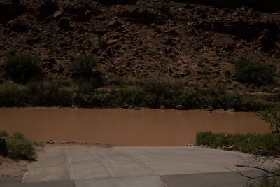
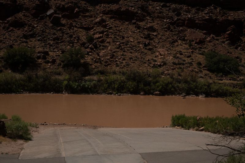
Boat ramp at the US-191 Colorado River bridge, 4 miles north of downtown Moab at the junction of US-191 and UT-128. The twin-structure bridge (1,022 ft long, completed December 2010) is the gateway to Moab and the US-191 corridor to Arches, Canyonlands, and points south. The ramp serves as the downstream terminus of the Jackass Canyon reach (from Take Out Beach, 10 mi upstream) and the put-in for The Portal (17 mi downstream to Potash). Named 'Moab Bridge Boat Ramp' by the National Rivers Project and BLM documentation.
Take Out Beach to Moab Bridge Boat Ramp
Paved UT-128 parallels the entire section from Take Out Beach to the US-191 junction at the Moab Bridge.
Google used a car, their times do not account for towing a trailer, driving on washboard, pitted pavement, and dirt that goes to grease in the rain — our adjusted times help align to the reality of running real river shuttles.
No permit required for day use. This reach sits within the BLM Colorado Riverway Recreation Area.
The reach is heavily used for day recreation (commercial day trips, tubers, SUP, private boats). Seven BLM campgrounds line the upper portion of the reach along UT-128.
On a seven-day trip, you'll cook roughly 20 meals on a folding table in the sand. The constraint isn't ambition — it's ice management. Days one through three, you have real cooler capacity. Days four and five are the transition zone. Days six and seven are pantry cooking.
The best river cooks plan backward from the last night. If your final dinner is still good — not just edible, but genuinely good — the trip ends on a high.
Two coolers, segregated by access frequency. A well-managed deep cooler will hold usable ice through day 6 in 100°F air temps.
Folding table, two-burner propane stove, cast iron skillet, Dutch oven, and a large pot. The Dutch oven is the single most versatile piece.
Books that shape the science, history, and stories behind this place.
An in-depth environmental and human history of Cataract Canyon and the rivers of Canyonlands, exploring Indigenous presence, exploration, dam impacts, river ecology, and the evolution of modern river running.
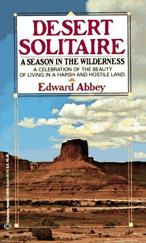
Edward Abbey's classic portrait of canyon country, solitude, and wilderness, influential to the identity and mythology of the Colorado Plateau.
A river-running memoir by Roy Webb capturing the spirit, humor, and culture of Western river expeditions and the people who chase moving water through canyon country.
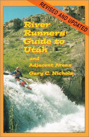
A comprehensive guidebook to whitewater rivers in Utah and neighboring regions, covering river access, rapids, flow considerations, trip logistics, and historical context for river runners.
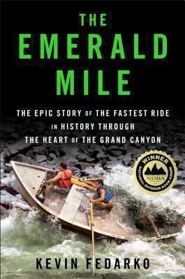
The thrilling story of the dory daredevils who set a speed record through the Grand Canyon at the height of the legendary flood of 1983 — and of the river that made it possible.
Powell's original account of the first scientific expedition through the Grand Canyon, documenting the geology, natural history, and challenges of navigating the unknown Colorado River.