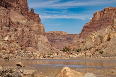
Cataract Canyon
An in-depth environmental and human history of Cataract Canyon and the rivers of Canyonlands, exploring Indigenous presence, exploration, dam impacts, river ecology, and the evolution of modern river running.
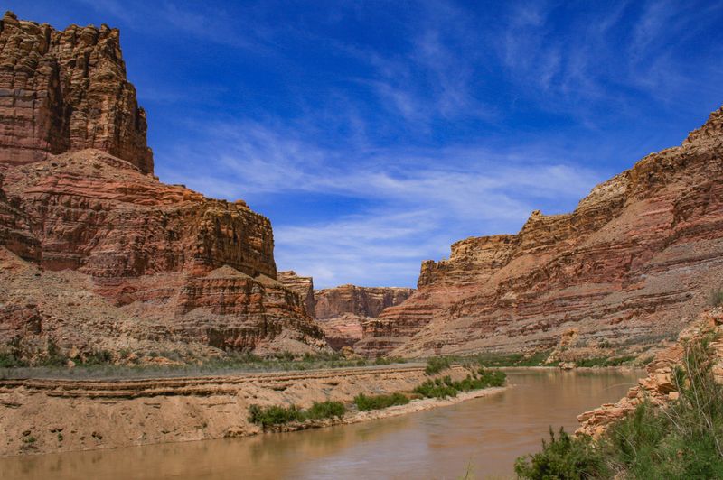
Narrow Canyon is where Cataract Canyon exhales — tight walls, still water, and the eerie transition from one of the West's great whitewater runs into the silence of the Lake Powell reservoir.
Narrow Canyon is the 7.5-mile terminal section of the Colorado River below Cataract Canyon's final rapid — also known as Trachyte Canyon — where the canyon walls pinch dramatically tight before the river slows and opens into the Lake Powell reservoir. It runs from Mile 176.5, where Cataract ends, to the mouth of the Dirty Devil River at the start of Glen Canyon. After the intensity of Cataract's whitewater, this stretch offers abrupt transition: the current dies, canyon walls close in overhead, and the character shifts from whitewater river to still backwater. Exit logistics here are entirely dependent on current lake level, which determines how far the reservoir's backwater intrudes upstream.
Lake Powell elevation is as important as river flow here — current lake level determines how far the reservoir's backwater extends into the canyon and how long the row-out will be.
—
Between the river gauge above the Dirty Devil and the Lake Powell pool.
Both water surfaces on the NAVD 88 datum. This is the vertical distance between two elevations, nothing more — it is not a gradient, not a difficulty rating, and it says nothing about the ramp, the carry, or whether the reach is worth running.
Low lake elevation means a longer flatwater row through Narrow Canyon to reach motorized water; current is minimal.
Normal lake levels — backwater begins several miles into the canyon, typical row-out distance to North Wash.
High lake elevation pushes backwater further into the canyon; the row-out can be shortened significantly under high pool conditions.
Best in May–June when lake level is highest and backwater intrudes furthest upstream, shortening the row-out
↑ Rim
↓ River level
Narrow Canyon sits at the boundary between the National Park and the Glen Canyon National Recreation Area — the transition from Canyonlands NPS management to NPS Glen Canyon management occurs in this stretch.
No road access to put-in; takeout at North Wash via UT-95; covered by Canyonlands permit; groover required.
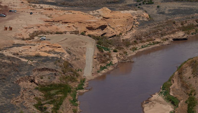
Primary take-out for Cataract Canyon trips. As of June 2026, North Wash is served by an improved temporary boat ramp — roughly 16 feet wide, surfaced with articulating concrete-block mats, handling one party at a time, and built for high-clearance four-wheel-drive vehicles only due to the steep grade. It sits slightly downstream of the historic take-out and replaced the failing primitive landing after Lake Powell's drawdown left the old Hite-area ramp unusable. It is explicitly a temporary structure on a shoreline the river is still downcutting through reservoir sediment, so mud, shoreline change, lake elevation, and road damage can still alter usability. Parties must verify the current take-out calendar, access advisories, and lake conditions before launch.
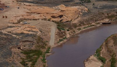
Mille Crag Bend to North Wash / Dirty Devil Take Out
No road access to put-in — Narrow Canyon is accessible only as a continuation from Cataract Canyon. Takeout at North Wash/Dirty Devil is vehicle-accessible via UT-95. Jetboat pickups from outfitters operating on Lake Powell are a common alternative when lake levels are low.
Google used a car, their times do not account for towing a trailer, driving on washboard, pitted pavement, and dirt that goes to grease in the rain — our adjusted times help align to the reality of running real river shuttles.
Covered by the Canyonlands overnight river permit issued for Cataract Canyon trips. No separate permit required for this section — it is included with the Cataract Canyon permit. lottery:false / selfIssueAllowed:false set 2026-09-15 — covered by the Canyonlands overnight river permit (recreation.gov 621748), which the park states is not a lottery; same booleans as cataract-canyon.
On a seven-day trip, you'll cook roughly 20 meals on a folding table in the sand. The constraint isn't ambition — it's ice management. Days one through three, you have real cooler capacity. Days four and five are the transition zone. Days six and seven are pantry cooking.
The best river cooks plan backward from the last night. If your final dinner is still good — not just edible, but genuinely good — the trip ends on a high.
Two coolers, segregated by access frequency. A well-managed deep cooler will hold usable ice through day 6 in 100°F air temps.
Folding table, two-burner propane stove, cast iron skillet, Dutch oven, and a large pot. The Dutch oven is the single most versatile piece.
Books that shape the science, history, and stories behind this place.
An in-depth environmental and human history of Cataract Canyon and the rivers of Canyonlands, exploring Indigenous presence, exploration, dam impacts, river ecology, and the evolution of modern river running.
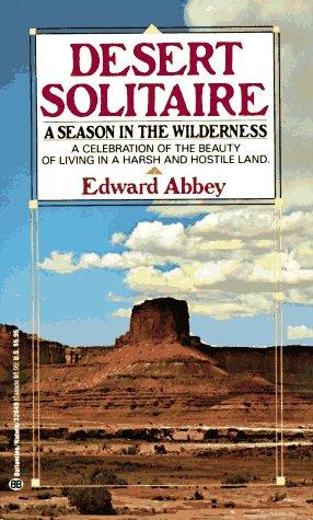
Edward Abbey's classic portrait of canyon country, solitude, and wilderness, influential to the identity and mythology of the Colorado Plateau.
A river-running memoir by Roy Webb capturing the spirit, humor, and culture of Western river expeditions and the people who chase moving water through canyon country.
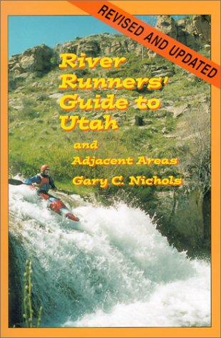
A comprehensive guidebook to whitewater rivers in Utah and neighboring regions, covering river access, rapids, flow considerations, trip logistics, and historical context for river runners.
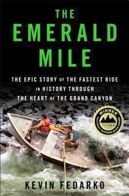
The thrilling story of the dory daredevils who set a speed record through the Grand Canyon at the height of the legendary flood of 1983 — and of the river that made it possible.
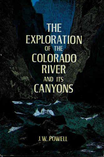
Powell's original account of the first scientific expedition through the Grand Canyon, documenting the geology, natural history, and challenges of navigating the unknown Colorado River.