Cataract Canyon
An in-depth environmental and human history of Cataract Canyon and the rivers of Canyonlands, exploring Indigenous presence, exploration, dam impacts, river ecology, and the evolution of modern river running.
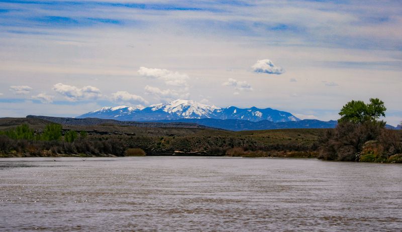
The quiet flatwater extension of a Westwater trip — 14 miles between Cisco and Dewey Bridge through open ranchland and Mancos badlands, well upstream of the Fisher Towers redrock.
A quiet, uncrowded 16-mile flatwater stretch on the Colorado River between the Cisco boat ramp (the standard Westwater takeout) and the Dewey Bridge river access. The river runs through open BLM ranchland and shale-slope badlands, with distant views of the Book Cliffs to the north and the La Sal Mountains to the south. Class I flatwater with occasional riffles; the canyon walls of Fisher Towers and Professor Valley lie downstream of Dewey Bridge, not within this section. UT-128 parallels the corridor from Dewey Bridge upstream, and I-70 crosses near Cisco — making this a logistically simple extension to a Westwater trip or a stand-alone overnight float for paddlers wanting solitude.
Monitored by the USGS Cisco gauge; enjoyable across a wide flow range once the river clears its shallowest riffles.
Primary upstream Colorado River gauge used in Westwater and Moab Daily runoff interpretation.
USGS #09180500Slow flatwater with shallow riffles; paddleable for canoes and SUPs but progress requires effort.
Steady current, easy riffles, pleasant float.
Faster, pushier water; flat character holds but paddlers should be confident in moving water.
Spring runoff (Apr–Jun) and fall shoulder season (Sep–Oct)
This reach cuts through Upper Cretaceous Mancos Shale exposures and the Jurassic Morrison Formation — badlands and open ranchland rather than the dramatic redrock walls downstream. Cutler and Moenkopi Formations that form Fisher Towers and the Professor Valley spires are exposed below Dewey Bridge, not within this section. Near the downstream end of the run the deeper Jurassic units begin to surface: the Summerville Formation first appears around mile 96.5 and the Navajo Sandstone at mile 95.3, just upstream of Dewey Bridge.
↑ Rim
↓ River level
This is working river bottom, not a wilderness corridor. Cattle ranched the benches; Cisco at the upstream end was a Denver & Rio Grande watering stop that peaked in the 1920s, was bypassed when I-70 came through in the 1960s, and now stands as one of eastern Utah's best-preserved ghost towns. Near the bottom of the run, around mile 96.2, the Dolores River — named by Spanish explorers in 1765 as El Rio de Nuestra Señora de Dolores — joins the Colorado, its flows greatly reduced since the McPhee Dam went in in 1983-84. The charred remains of the old Dewey Bridge sit at mile 94.6, just above the take-out.
The Cisco townsite — visible from the take-out/put-in area — was a Denver & Rio Grande watering stop that peaked in the 1920s and was bypassed when I-70 was built in the 1960s. It is now among the best-preserved ghost towns in eastern Utah. Near the downstream end, around mile 96.2, the Dolores River joins the Colorado — named by Spanish explorers in 1765 as El Rio de Nuestra Señora de Dolores (River of Our Lady of Sorrows), and much reduced in flow since the McPhee Dam was built in 1983-84. The charred remains of the old Dewey Bridge sit at mile 94.6, just above the take-out.
No permit, paved shuttle on UT-128 and I-70, simple BLM access at both ends.
Cisco Boat Ramp via I-70 exit. Good take-out with staging area.
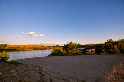
BLM day-use site at the former Dewey Bridge location on UT-128. The historic 1916 suspension bridge was destroyed by fire in 2008; piers remain. Serves as the standard take-out for Cisco-to-Dewey floats and the put-in for the scenic Dewey-to-Hittle-Bottom / Professor Valley stretch.
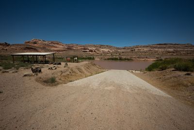
Cisco Boat Ramp to Dewey Bridge Boat Ramp
Shuttle runs on paved UT-128 the whole way between Dewey Bridge and the Cisco ramp. Entirely paved.
Google used a car, their times do not account for towing a trailer, driving on washboard, pitted pavement, and dirt that goes to grease in the rain — our adjusted times help align to the reality of running real river shuttles.
No permit required for day use or overnight beach camping on BLM land along this section. Leave No Trace practices expected.
On a seven-day trip, you'll cook roughly 20 meals on a folding table in the sand. The constraint isn't ambition — it's ice management. Days one through three, you have real cooler capacity. Days four and five are the transition zone. Days six and seven are pantry cooking.
The best river cooks plan backward from the last night. If your final dinner is still good — not just edible, but genuinely good — the trip ends on a high.
Two coolers, segregated by access frequency. A well-managed deep cooler will hold usable ice through day 6 in 100°F air temps.
Folding table, two-burner propane stove, cast iron skillet, Dutch oven, and a large pot. The Dutch oven is the single most versatile piece.
Books that shape the science, history, and stories behind this place.
An in-depth environmental and human history of Cataract Canyon and the rivers of Canyonlands, exploring Indigenous presence, exploration, dam impacts, river ecology, and the evolution of modern river running.
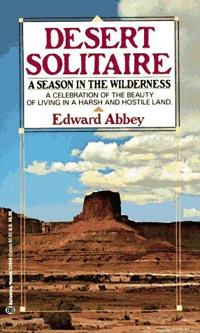
Edward Abbey's classic portrait of canyon country, solitude, and wilderness, influential to the identity and mythology of the Colorado Plateau.
A river-running memoir by Roy Webb capturing the spirit, humor, and culture of Western river expeditions and the people who chase moving water through canyon country.
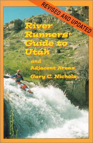
A comprehensive guidebook to whitewater rivers in Utah and neighboring regions, covering river access, rapids, flow considerations, trip logistics, and historical context for river runners.
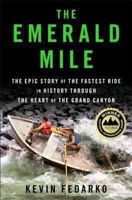
The thrilling story of the dory daredevils who set a speed record through the Grand Canyon at the height of the legendary flood of 1983 — and of the river that made it possible.
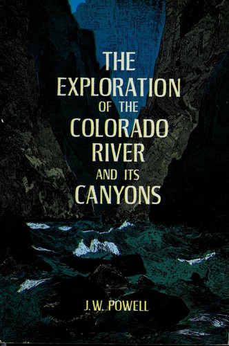
Powell's original account of the first scientific expedition through the Grand Canyon, documenting the geology, natural history, and challenges of navigating the unknown Colorado River.