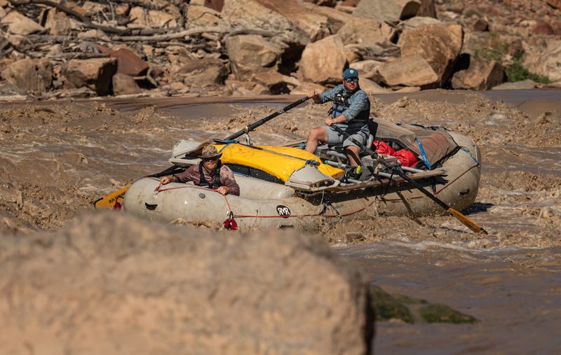
Cataract CanyonOctober 2026
Five days, Potash to North Wash, at 5,980–8,810 cfs: a first camp found in the dark, two side hikes lost to mud, and a seven-mile day spent stopping.
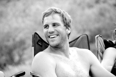
Cutty
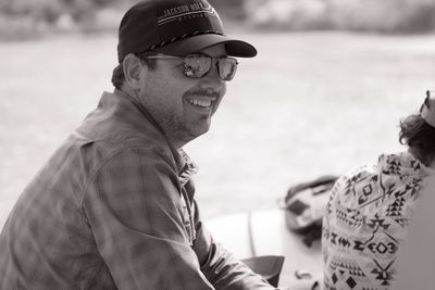
Greg
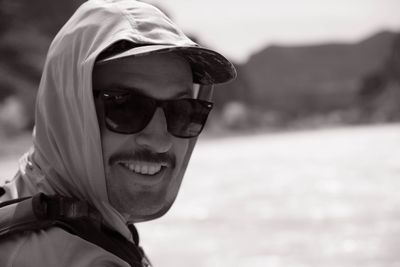
Nick
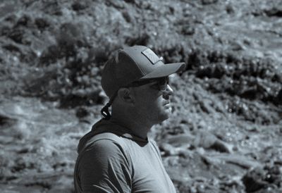
Brando
Potash at Five, Sheep Bottom in the Dark
3,180 cfs at Potash (USGS daily mean, provisional) — Meander Canyon, above the Green
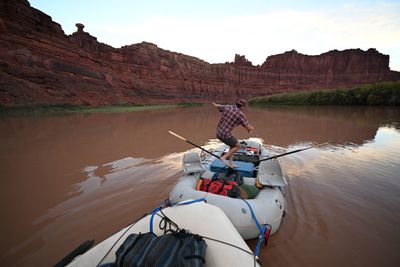
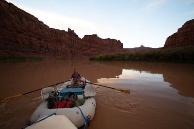
The trip started the way most of them do: in Greg’s driveway at 9:30, looking for the keys. By 10:30 we had settled where they were and were on the road. By five we were at Potash with two rafts in the water, Cutty’s 18-foot Maravia and Greg’s 16-foot Rocky Mountain Raft, and a sun that was already thinking about leaving.
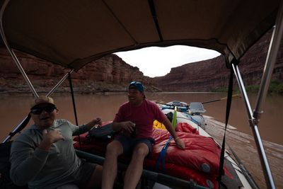
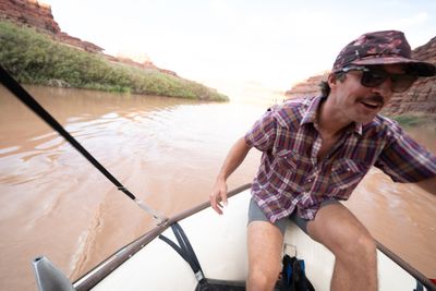
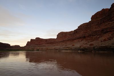
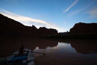
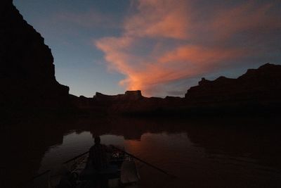
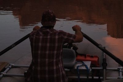
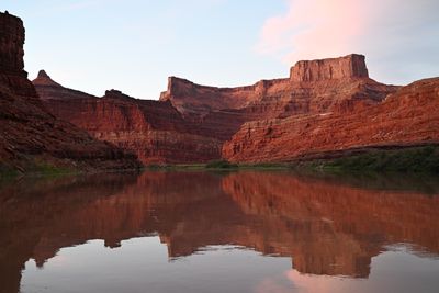
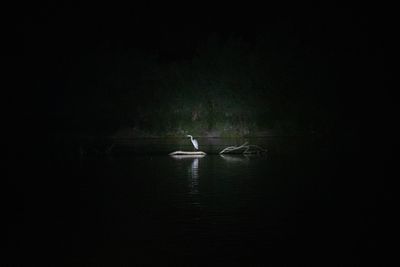
A five o’clock launch has one rule: the motor does the miles. Meander Canyon was running about 3,000 cfs at Potash, flat and brown and in no hurry, so we lashed the boats together and motored. The walls went red, then orange, then a color nobody bothered to name. We motored until we hit the wall, and a little past it, the spotlight sweeping the banks and catching a heron on a driftwood log that did not appreciate the attention.
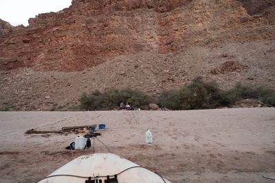
Sheep Bottom turned up as a beach in the dark. We built a fire and fell asleep next to it.
Potash at Five, Sheep Bottom in the Dark
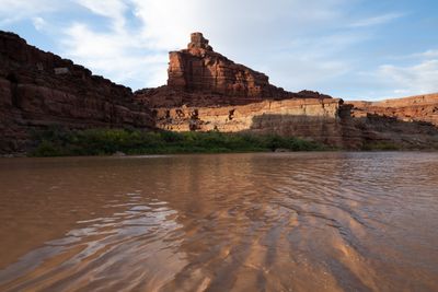
Waterline view of the first big wall below the put-in, the river doing all the moving.
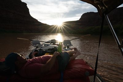
Feet up, sun going down the canyon. Nobody is rowing.
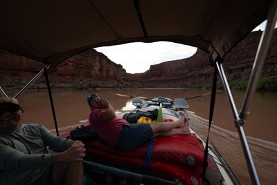
Somebody had something to say about the boat ahead.
First evening on the water, already in a good mood.
On the back tube, holding on.
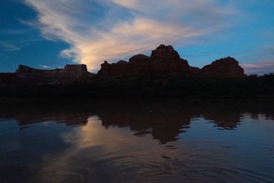
Evening light going off the walls.
Moving between boats without stopping the boats.
Oars in for a correction while the sky does the work.
Rowing for the sake of it. The motor was doing the work.
Blue hour, and still going.
Last light, still rowing.
Over the shoulder of the oarsman.
Meander Canyon, flat calm, doing its best impression of a mirror.
Motoring in the dark, the light found a heron.
The Loop, the Confluence, Brown Betty
2,620 cfs at Potash above the Confluence; 6,810 cfs combined with the Green below it (USGS daily means, provisional)
Not much sleep. The morning plunge off Sheep Bottom was about the only way to forget Greg’s snoring.
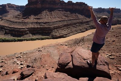
The river had news of its own. Between September 30 and October 1 the Colorado at Potash fell from 3,180 to 2,620 cfs. On the Loop that meant nothing: Nick, Brando and I hiked up and over the neck while Greg drove the rafts around the long way, and from the top the river runs below you on both sides of one thin ridge of rock.
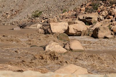
At Salt and Elephant canyons it meant everything. The water that dropped overnight left the approach as a band of fresh mud, and fresh mud is not a landing. We tried, and we turned around.
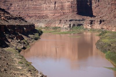
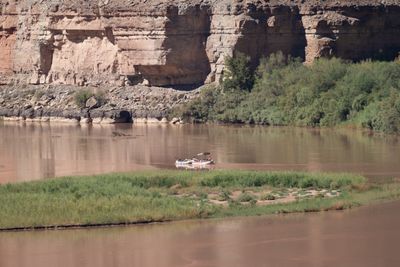
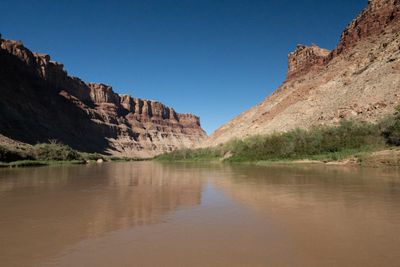
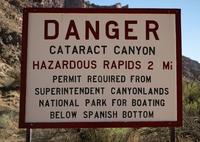
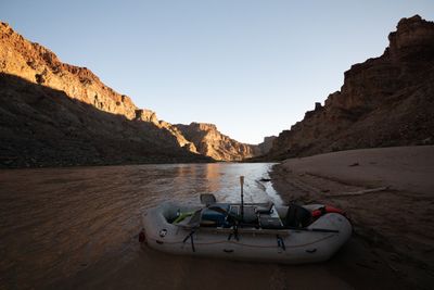
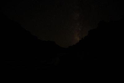
The Confluence came in the afternoon. The Green comes in, the river more than doubles, and a mile or two on, a sign spells out what the rest of the canyon is about. We camped at Brown Betty under more stars than the camera could hold.
The Loop, the Confluence, Brown Betty
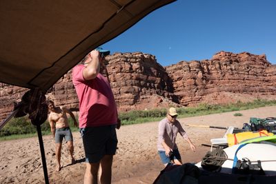
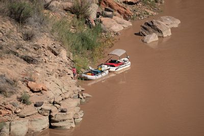
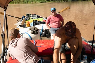
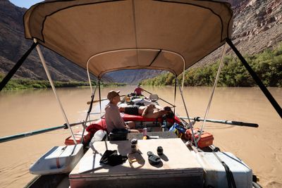
Morning at Sheep Bottoms: loading up under the bimini, the moon still hanging over the wall.
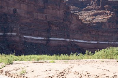
The white stripe across the wall at Sheep Bottoms.
Firing up the outboard while the hikers head for the Loop.
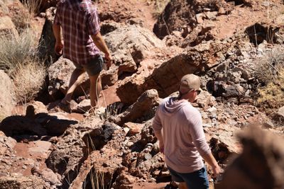
Setting out on the Loop hike.
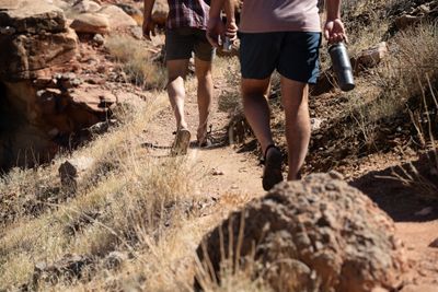
Sandals, shorts, and a coffee for the road.
Looking back down on the river from the climb, the boats a speck below.
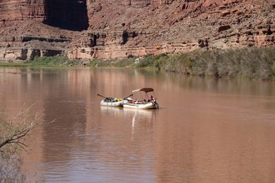
The boats, taking the long way round.
Talus and cliff, side by side.
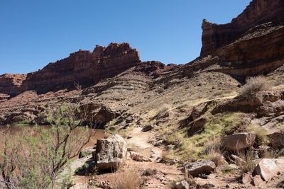
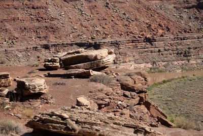
Ledges stacked like bricks on the climb over the Loop.
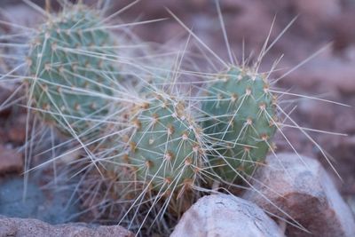
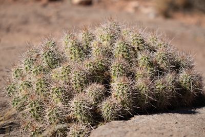
Prickly pear along the trail. Watch your sandals.
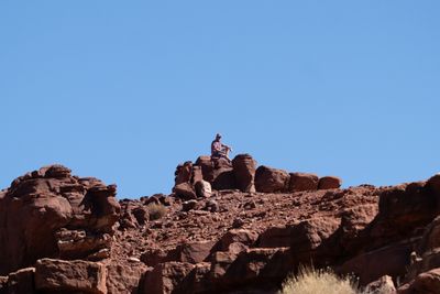
Taking a seat on the top of the Loop.
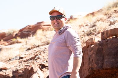
All smiles on the climb.
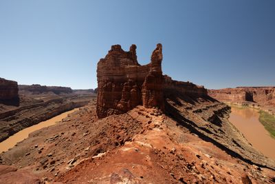
The tower on the neck of the Loop.
Shakas for the boats below.
Coming down off the top of the Loop.
A cactus mound on the descent.
Picking a line down the rubble.
Boats waiting at the bottom of the Loop.
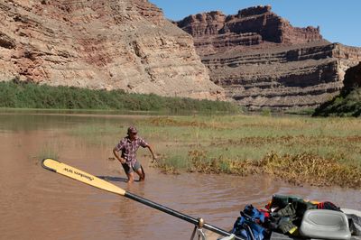
Went exploring. Too much mud.
Knee-deep in muck, and that was the end of the exploring.
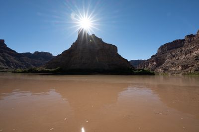
Sun on the butte at the Confluence.
Regrouping on the rig at the Confluence.
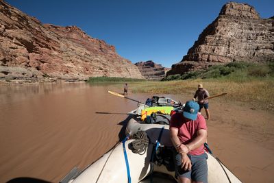
Afternoon float below the walls: one rowing, one lounging, one watching.
Downstream of the Confluence, the walls start to close in.
Fair warning, in red paint.
Brown Betty camp, evening.
Tied up at Brown Betty, looking downstream into Cataract.
Stars over Brown Betty.
Seven Miles, All Day
7,130 cfs (USGS daily mean), water 67°F
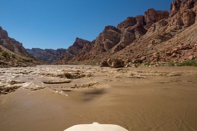
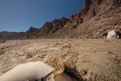
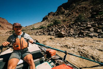
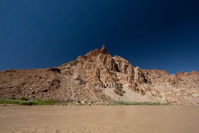
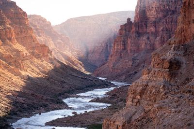
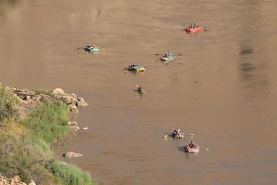
Day three was 7.4 miles. That is the real reason to bring a motor: it carries the long flat miles so the whitewater days can be spent stopping.
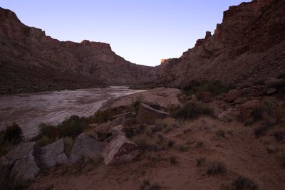
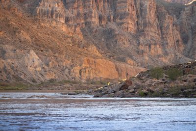
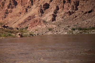
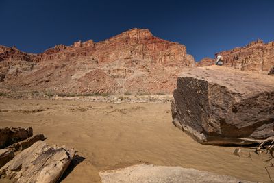
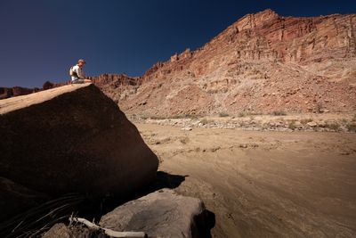
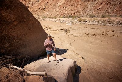
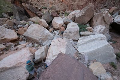
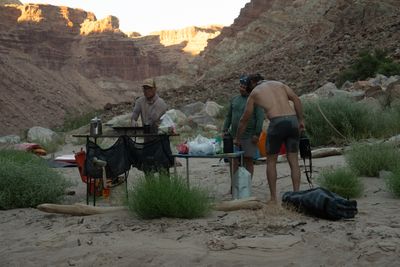
The morning went slow at Brown Betty: a walk upstream, a walk downstream, and water for the cottonwood seedlings planted at the back of the beach. Below Rapid 5 we caught the river-left eddies and walked up to the boulders on the left bank, formidable enough to make the rapid look polite.
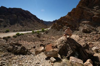
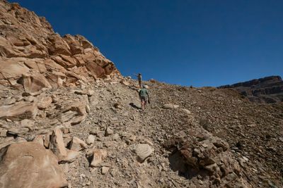
At Rapid 10, Nick and I swapped the oars for the wave train and swam it top to bottom. At 7,130 cfs it was pure play, the right rapid on the right day. Then we climbed the scree above the Rapid 10 camps: an ancient cottonwood, fossils in the rock (look, don’t take; collecting is prohibited in the park), and good views. At Rapid 13 we explored a side canyon and made our way up to a point we eventually called the Pulpit. Mile Long lies below it, all of it, down to the Button.
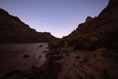
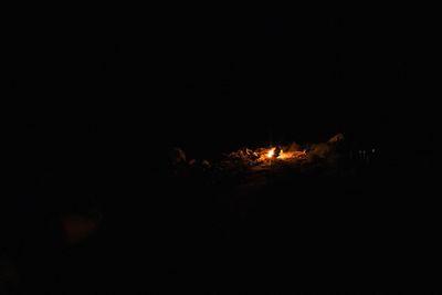
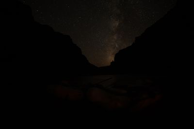
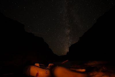
Lower Rapid 15 Camp after that. Late-night bocci, a fire, and the Milky Way standing over the Button.
Seven Miles, All Day
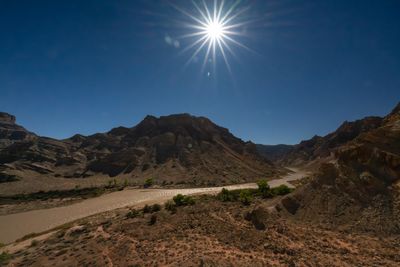
Blue hour on the beach before anyone was up.
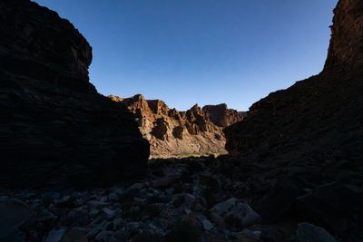
Brown Betty camp waking up, sun just touching the rim.
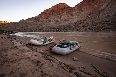
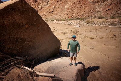
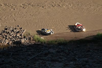
Rafts high and dry on the beach at Brown Betty.
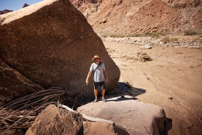
Nick on his boulder, for scale.
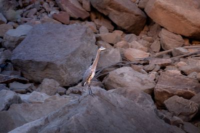
A great blue heron holding its rock.
Above Rapid 5.
Taking in Rapid 5 from a boulder on river left.
Watching the water at Rapid 5 from river left.
Shaka from the Rapid 5 boulder.
All smiles at Rapid 5.
Making his case at Rapid 5.
Bow-first into the riffles above Tilted Park.
Taking one over the bow.
Working the oars through the waves into Tilted Park.
Tilted rock inside Tilted Park.
Perched above the river in Tilted Park.
Up the scree in Tilted Park.
The overlook in Tilted Park, looking back at the river.
Heading up toward the Pulpit, the far wall still in sun.
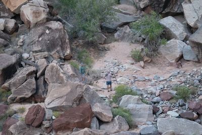
Boulder-hopping on the way to the Pulpit.
Two of the crew in the wash below the Pulpit.
Mile Long from the Pulpit.
Another party floats by below the Pulpit.
Our two boats waiting below the Pulpit.
Dinner coming together at the Rapid 15 camp kitchen.
The fire at Rapid 15 camp.
Milky Way over the Button.
Milky Way over the Button, boats tucked in for the night.
The Rest of Mile Long, Then the Big Drops
6,700 cfs (USGS daily mean), water 69°F
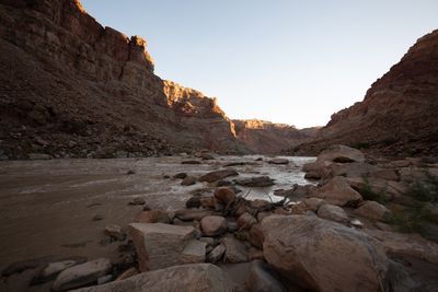
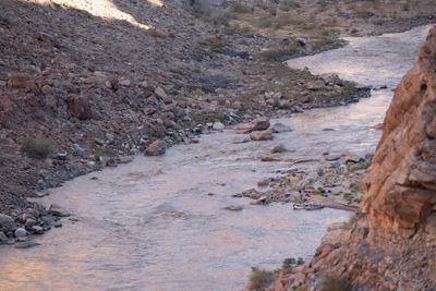
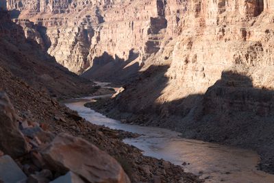
Morning at Lower Rapid 15 Camp is a front-row seat: Rapid 15 upstream, the Button downstream, and the rest of Mile Long between us and the Big Drops.
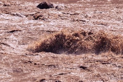
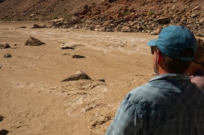
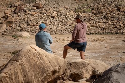
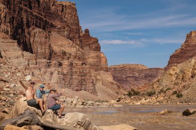
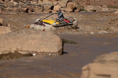
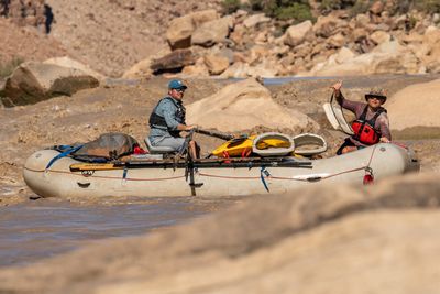
The canyon was running 6,700 cfs. We ran the rest of Mile Long, then did what the Big Drops are for: we landed and scouted. Big Drop 2 from the boulders, then Big Drop 3, then out onto the rocks below it to photograph each other being small. Greg took his raft down the right side of Big Drop 3 with Brando in the bow, and both came out grinning. Between scouts we played bocci at Kolb Camp, which is the correct use of a camp between Big Drop 2 and Big Drop 3.
Below the Big Drops the canyon lets go slowly. We ran on to Cove Canyon for the night, a mellow camp compared with the others, apart from a light, steady wind that dusted everyone and everything.
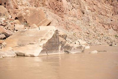
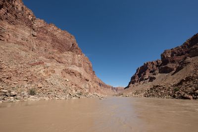
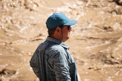
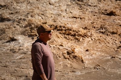
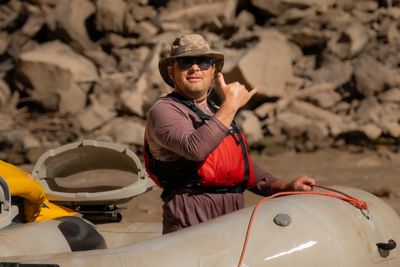
The Rest of Mile Long, Then the Big Drops
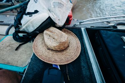
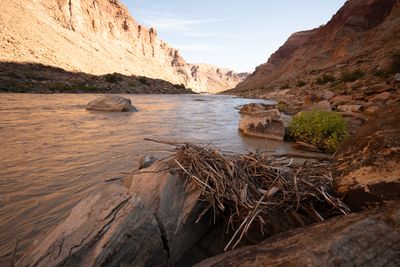
First thing out of the tent: hat, pack, camera. The river's already moving.
Rapid 15 from camp, looking upstream, with the sun just reaching the rim.
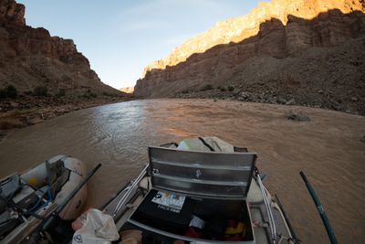
The office view from the oars, tied up at camp and looking downstream.
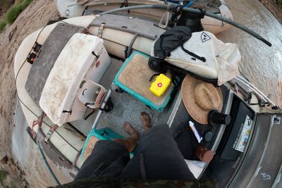
Packing the camera bag for a walk. Shoes optional, apparently.
Company overhead: two ultralight trikes cruising the canyon at wall height.
Rapid 15 camp from up on the ledge: two boats, a beach of drying gear, and the rapid right beside it.
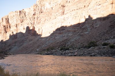
The river from above, still half in shadow.
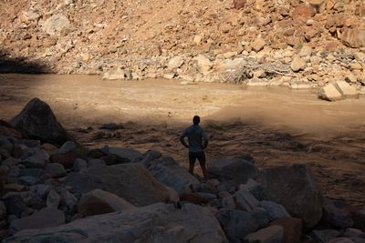
Reading Rapid 16 from shore.
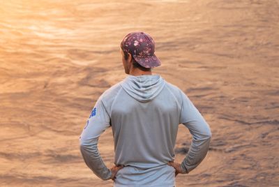
Hands on hips, eyes on the water.
Last high water's leftovers, stacked on the rocks.
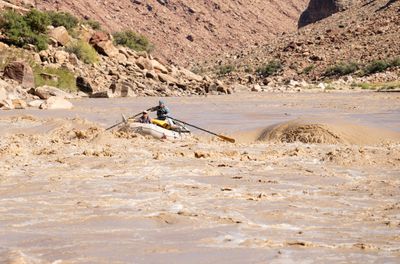
Greg on the oars and Brando up front, dropping into Rapid 16.
Rapid 16 makes its point.
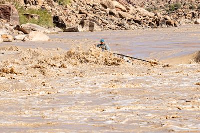
Through the meat of Rapid 16, with the canyon for scale.
Rockfall the size of a house, and a raft for scale.
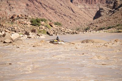
One boat, a lot of canyon.
Greg scouting the Big Drops.
Brando, sizing up the Big Drops.
What the Big Drops are made of.
Sand bench, rapid, talus, with a deliberately gritty edit.
Looking down the lower half of Big Drop 2.
Greg and Brando, scouting Big Drop 3.
Big Drop 3 from downstream right: boulders, pourovers and a log jam.
Big Drop 3 can wait. The boys can't.
Greg threading the right run at Big Drop 3, with Brando holding on up front.
Out the bottom of Big Drop 3, all smiles.
Brando, post-Big Drop 3. Survived.
Too Muddy for Dark Canyon, First at North Wash
5,980 cfs (USGS daily mean), water 69°F
We wanted to hike Dark Canyon. Like Salt and Elephant, it was too muddy. So we motored, and made the North Wash take-out by noon.
We were the first group there, and the rafts came out easily, mostly because Nick can back a trailer like it’s his job. A group of packrafters we had met along the way helped us load in exchange for a ride to the Hite airport, which is about as fair as trades get out here.
We dropped them at Hite and pointed home, but not before a burger and a shake in Hanksville.
The best meal of the trip was Brando’s tacos. There is no photo of them, which I regret. There is also no photo of the chili brats, which is for the best. The camera’s batteries were done by day five anyway.
Day 1, after dark in Meander Canyon
Keep motoring past dark
Outcome: Found Sheep Bottom beach, by luck as much as plan
Insight: A late Potash launch turns the first camp into a search; know the next beaches before you push off.
Day 2, the Loop
Three hiked the neck while Greg drove both rafts around
Outcome: The whole gooseneck from above, and boats waiting on the far side
Insight: The boats go roughly four river miles around the Loop; the walk over the neck is under half a mile. Split the crew and get both.
Day 2, Salt and Elephant canyons
Turn back at the muddy approach
Outcome: Skipped the hike and made the Confluence and Brown Betty
Insight: An overnight drop moves the landing, not just the number on the gauge.
Day 5, Dark Canyon
Skip it, too muddy again, and motor to the take-out
Outcome: First group at North Wash, by noon
Insight: On the last day, the ramp is worth more than one more stop.
- When the gauges drop overnight (Potash fell from 3,180 to 2,620 cfs between September 30 and October 1), the Salt and Elephant approaches turn to fresh mud. Plan those hikes off the morning's water, not last night's.
- When you launch at Potash at 5 pm in late September, the first camp is found in the dark. Motor the Meander miles, carry a spotlight, and take the first good beach.
- When a motor carries Meander and the miles below the Big Drops, keep the whitewater days short: 7.4 miles from Brown Betty to Lower Rapid 15 Camp left a full day for Rapid 5, Rapid 10, the scree climb and the Pulpit.
- When the last day is the long run from lower Cataract to North Wash, plan it as a motor run and treat Dark Canyon as a bonus: on this trip, with Lake Powell near 3,518 feet, its landing was too muddy to use.
- When you can reach North Wash before the other groups, do it: first at the ramp at noon, the rafts came out easily.
Two oar-rigged rafts, an outboard motor, and a bocci set.
Colorado at Potash: 2,470–3,180 cfs (avg 2,706)
Green at Mineral Bottom: 3,510–5,630 cfs (avg 4,380)
Combined: 5,980–8,810 cfs (avg 7,086)
Lake Powell: 3518.08 ft at launch (3518.08–3518.95 ft during trip). USBR RISE API — Lake Powell at Glen Canyon Dam
Evidence behind the claims on this page — agency rules, maps, gauges, books, and field notes.
Hydrology
Field notes
- field-note Desert Maritime — Cataract Canyon Trip Notes, September 30 – October 4, 2026
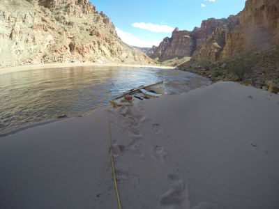
Cataract Canyon — May 2015 (~20,000 cfs)
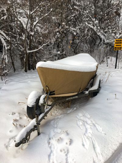
Cataract Canyon — December 2016
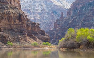
Desolation Canyon — March 2026
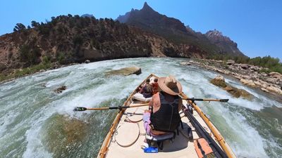
Split Mountain — August 2025 (Day Trip with Kids)
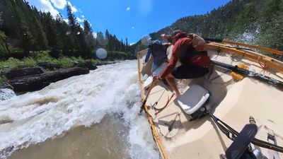
Snake River — June 2024 (Alpine Canyon x3, Dory)
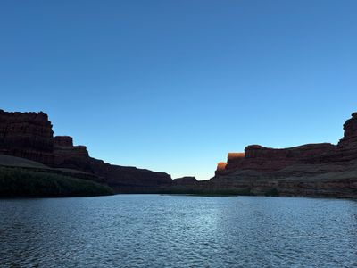
Cataract Canyon — October 2025
On this trip
Join the Expedition Briefing
Route drops, river notes, gear systems, and field reports—sent like a briefing, not a newsletter.