Colorado River
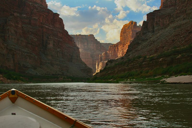
The Colorado carves the deepest canyons of the Southwest — from Westwater's technical gorge to Cataract's flood-season violence to the 226-mile Grand Canyon traverse. · CO · UT · AZ · NV · CA
The Colorado River is the defining waterway of the American Southwest — 1,450 miles from the Rocky Mountain headwaters in Colorado to its historical terminus at the Gulf of California. The river carved the Grand Canyon, built the Canyonlands, and divided the Colorado Plateau into the architecture of high desert civilization. For boaters, it is a system of systems: the technical pool-drop of Westwater Canyon; the 40 miles of Cataract Canyon, where the whitewater concentrates in the first fourteen below the Confluence; the 226 miles of permit-controlled wilderness in the Grand Canyon; the quiet flatwater of Moab Daily and Meander Canyon between them. The Colorado is simultaneously one of the most over-allocated rivers in the world — every drop spoken for by compact law — and one of the most powerful wild experiences available to those who can access its permits. It flows through the ancient Precambrian basement of the Colorado Plateau, through a mile of exposed rock in the Grand Canyon, and through the heart of the most contested water politics in the Western United States.
Colorado River Sections
-
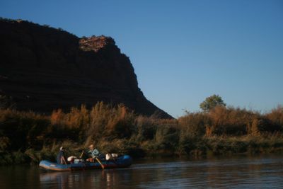
Ruby–Horsethief Canyon
25 mi— cfs, Ruby–Horsethief is the mostly flatwater run of the Colorado from Loma, Colorado, to Westwater, Utah,... -
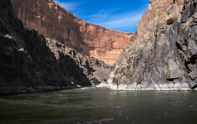
Westwater Canyon
17.2 mi— cfs, Westwater Canyon packs its whitewater into 2.4 miles of the Colorado. Nine named rapids run from... -
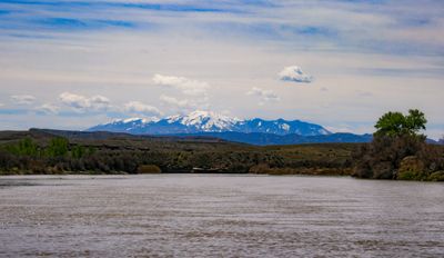
Cisco to Dewey Bridge
16.1 mi— cfs, Cisco to Dewey Bridge is the quiet flatwater below Westwater, floated as a long day or an easy... -
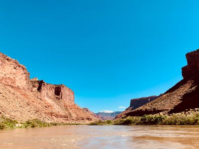
Dewey Bridge to Hittle Bottom
6.3 mi— cfs, Dewey Bridge to Hittle Bottom is a half-day of easy riffles on the Colorado, between two BLM sites... -
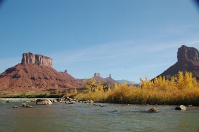
Professor Valley
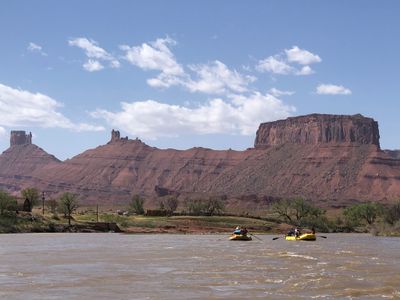
13.8 mi— cfs, Professor Valley is the Moab Daily, the Colorado River day stretch from Hittle Bottom to Take Out... -
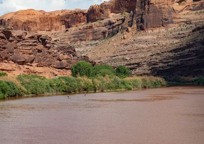
Take Out Beach to Moab Bridge
10 mi— cfs, Take Out Beach to Moab Bridge is the flatwater below the Moab Daily. It starts where most Daily... -
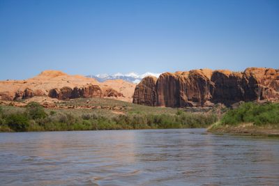
The Portal
17 mi— cfs, The Portal is where the Colorado leaves the Moab Valley and goes back into a canyon. The reach... -
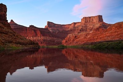
Meander Canyon
48 mi— cfs, Meander Canyon is the Colorado's flatwater approach to the Confluence, running into Canyonlands... -
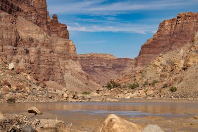
Cataract Canyon
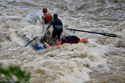
40 mi— cfs, Cataract Canyon begins where the Green meets the Colorado, deep in Canyonlands. Above the rapids,... -
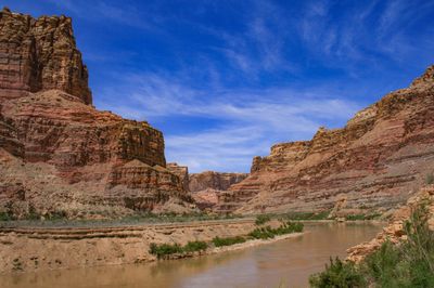
Narrow Canyon
7.5 mi— cfs, Narrow Canyon is the last stretch of a Cataract trip, from the end of Cataract at mile 176.5 to... -
Glen Canyon Tailwaters
15.5 mi— cfs, Below Glen Canyon Dam, the Colorado runs cold and clear down to Lees Ferry, where Grand Canyon river...
heavily regulated — Glen Canyon Dam (Lake Powell), Hoover Dam (Lake Mead), Davis, Parker, and many upstream diversions control flow throughout
Colorado River near Cameo, CO
USGS #09095500Current flow
Colorado River Near Cisco, UT
USGS #09180500Current flow
Colorado River at Potash, UT
USGS #09185600Current flow
Colorado River at Gypsum Canyon, UT
USGS #09328960Current flow
Colorado River above the Dirty Devil River, near Hite, UT
USGS #09328990Water surface
Lake Powell at Glen Canyon Dam, AZ
USGS #09379900Pool elevation
Colorado River at Lees Ferry, AZ
USGS #09380000Current flow
Colorado River above Diamond Creek, AZ
USGS #09404200Current flow
Elevation still to drop
—
Between the river gauge above the Dirty Devil and the Lake Powell pool.
Both water surfaces on the NAVD 88 datum. This is the vertical distance between two elevations, nothing more — it is not a gradient, not a difficulty rating, and it says nothing about the ramp, the carry, or whether the reach is worth running.
Best conditions vary dramatically by section. Cataract Canyon peaks in May–June runoff for big water; Grand Canyon is prime March–May and September–October; Westwater runs year-round with irrigation season (March–September) providing consistent flows. Summer (July–August) is viable but hot — 100°F+ in canyon bottoms. Spring runoff from Rocky Mountain snowmelt drives Cataract and upper sections. Fall offers ideal temperatures and lower crowds throughout.
Reading the Rock Record
Rock sequence of Colorado River
↑ Rim
- Navajo Sandstone
- Kayenta Formation
- Wingate Sandstone
- Hermit Formation
- Redwall Limestone
- Tapeats Sandstone
- Vishnu Schist
↓ River level
The Colorado River corridor supports four federally listed native fish — Colorado pikeminnow, razorback sucker, and bonytail, all endangered, and humpback chub, downlisted from endangered to threatened in 2021 — that evolved over millions of years in the warm, silt-laden, seasonally variable flows of the pre-dam river. Dams, diversions, and altered water temperatures have severely impacted native fish populations. Recovery programs operate throughout the system. Tamarisk, established throughout much of the riparian corridor since the mid-20th century, has displaced native cottonwood-willow communities across large reaches.
Notable Expeditions
- Powell Colorado River Expedition
- Powell Second Colorado River Expedition